Crateford

Settlement in Staffordshire South Staffordshire

England

Crateford

Congreve Lane and The Ivy House, Stretton
Congreve Lane and The Ivy House, Stretton Credit: Jonathan Thacker

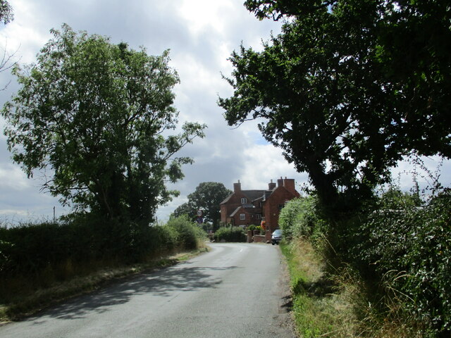
Crateford is a small village located in the county of Staffordshire, England. Situated in the picturesque countryside, Crateford is known for its peaceful and idyllic surroundings. The village is home to a close-knit community of around 500 residents, who enjoy a quiet and rural way of life.

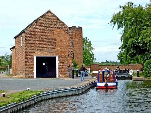
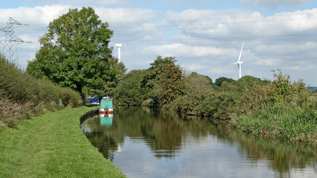
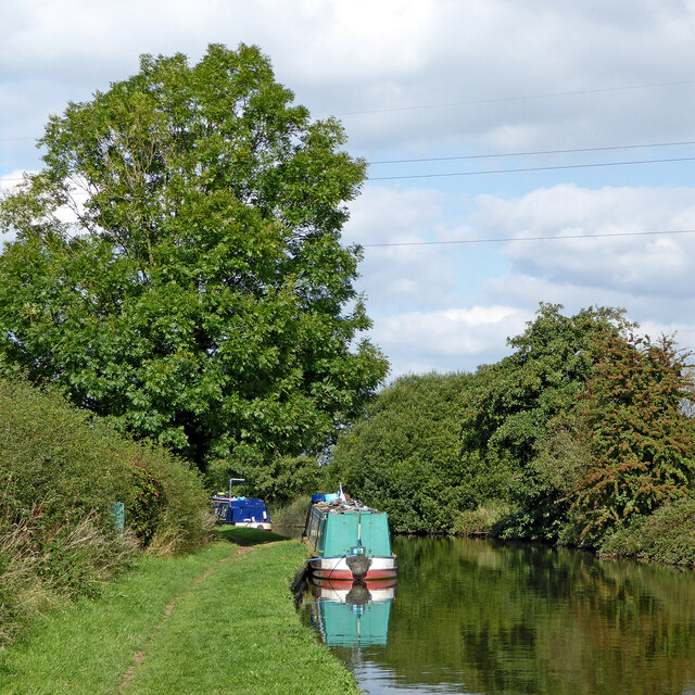
Crateford has a rich history, with some of its buildings dating back to the medieval period. The village is dotted with charming cottages, a historic church, and a traditional pub that serves as a focal point for social gatherings. The surrounding countryside offers plenty of opportunities for outdoor activities such as walking, cycling, and fishing.

Despite its small size, Crateford has a strong sense of community spirit, with residents coming together for events and celebrations throughout the year. The village also has a primary school, a post office, and a few small shops to serve the local population.

Overall, Crateford is a quaint and peaceful village that offers a tranquil retreat from the hustle and bustle of modern life. It is a place where residents can enjoy a slower pace of living and appreciate the beauty of the Staffordshire countryside.

If you have any feedback on the listing, please let us know in the comments section below.
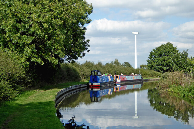
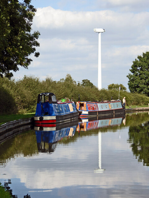
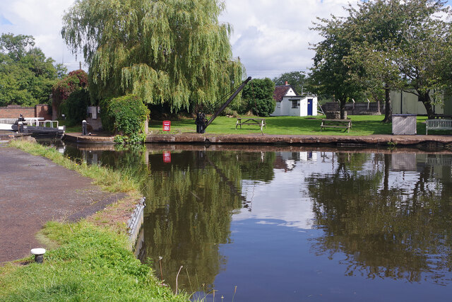
Crateford Images

Images are sourced within 2km of 52.682187/-2.140494 or Grid Reference SJ9009. Thanks to Geograph Open Source API. All images are credited.

Congreve Lane and The Ivy House, Stretton
Canal at Gailey Lock and Bridge, Staffordshire Gailey Top Lock is No 32 on the Staffordshire and Worcestershire Canal. This is the first of four fairly widely spaced locks. The A5 Watling Street crosses the canal here.
Canal at Gailey Lock and Bridge, Staffordshire
Gailey Top Lock is No 32 on the Staffordshire and Worcestershire Canal. This is the first of four fairly widely spaced locks. The A5 Watling Street crosses the canal here.
Staffordshire and Worcestershire Canal near Gailey, Staffordshire Looking north towards Penkridge.
Staffordshire and Worcestershire Canal near Gailey, Staffordshire
Looking north towards Penkridge.
Canal near Gailey in Staffordshire Looking north towards Penkridge.
Canal near Gailey in Staffordshire
Looking north towards Penkridge.
Moored narrowboats near Gailey in Staffordshire This is the Staffordshire and Worcestershire Canal, about two miles south of Penkridge. The new wind turbine awaits the fitting of its blades.
Moored narrowboats near Gailey in Staffordshire
This is the Staffordshire and Worcestershire Canal, about two miles south of Penkridge. The new wind turbine awaits the fitting of its blades.
Narrowboats and a new wind turbine, Staffordshire This is the Staffordshire and Worcestershire Canal near Gailey in Staffordshire. The wind turbine awaits the fitting of its blades, and looks like a giant alien surveillance unit in a sci-fi scenario.
The moorings are near Brick Kiln Lock, No 33.
Narrowboats and a new wind turbine, Staffordshire
This is the Staffordshire and Worcestershire Canal near Gailey in Staffordshire. The wind turbine awaits the fitting of its blades, and looks like a giant alien surveillance unit in a sci-fi scenario. The moorings are near Brick Kiln Lock, No 33.
Outdoor parcel lockers at a BP filling station Amazon and InPost lockers at Gailey.
Outdoor parcel lockers at a BP filling station
Amazon and InPost lockers at Gailey.
Towpath passing under Watling Street Or the A5, if you prefer. The Staffs and Worcs canal at Gailey.
Towpath passing under Watling Street
Or the A5, if you prefer. The Staffs and Worcs canal at Gailey.
Moored narrowboats near Gailey in Staffordshire This is the Staffordshire and Worcestershire Canal north of Gailey Lock and the A5 Watling Street.
Moored narrowboats near Gailey in Staffordshire
This is the Staffordshire and Worcestershire Canal north of Gailey Lock and the A5 Watling Street.
Staffordshire and Worcestershire Canal near Gailey in Staffordshire This is the Staffordshire and Worcestershire Canal north of Gailey Lock and the A5 Watling Street.
Staffordshire and Worcestershire Canal near Gailey in Staffordshire
This is the Staffordshire and Worcestershire Canal north of Gailey Lock and the A5 Watling Street.
Gailey Wharf A rare burst of sunshine in the last few days of August illuminates this attractive spot on the Staffordshire & Worcestrshire Canal. To the left is Gailey Lock and to the right is a small basin which, out of season would be stuffed with hire boats.
Gailey Wharf
A rare burst of sunshine in the last few days of August illuminates this attractive spot on the Staffordshire & Worcestrshire Canal. To the left is Gailey Lock and to the right is a small basin which, out of season would be stuffed with hire boats.
Gailey Wharf Gailey has long been a base for hire boats but whereas they used to be part of the Viking Afloat fleet, with their bright yellow and red colour scheme, they are now painted in this more restrained style. The boat seen here is 'Wood Duck' a six-berth vessel; of course, in August most of the boats would be out.
Gailey Wharf
Gailey has long been a base for hire boats but whereas they used to be part of the Viking Afloat fleet, with their bright yellow and red colour scheme, they are now painted in this more restrained style. The boat seen here is 'Wood Duck' a six-berth vessel; of course, in August most of the boats would be out.
The Round House, Gailey Wharf The grade II listed Round House, which stands right by Gailey Lock on the Staffordshire & Worcestershire Canal, was formerly a canal toll office. It is now a souvenir shop.
The Round House, Gailey Wharf
The grade II listed Round House, which stands right by Gailey Lock on the Staffordshire & Worcestershire Canal, was formerly a canal toll office. It is now a souvenir shop.
Gailey Wharf on the Staffordshire & Worcestershire Canal looking south towards the lock (just beyond the bridge)
Gailey Wharf on the Staffordshire & Worcestershire Canal
looking south towards the lock (just beyond the bridge)
Vikings aground Hire boat fleet laid up for the winter
Vikings aground
Hire boat fleet laid up for the winter
Former Church on Watling Street Well-known pottery on the A5 at Gailey. Formerly a church.
Former Church on Watling Street
Well-known pottery on the A5 at Gailey. Formerly a church.
Water Eaton
Water Eaton
Show me another place!

Crateford is located at Grid Ref: SJ9009 (Lat: 52.682187, Lng: -2.140494)

Administrative County: Staffordshire

District: South Staffordshire

Police Authority: Staffordshire

What 3 Words

///undertook.slid.cloth. Near Brewood, Staffordshire

Nearby Locations

Crateford Wood Crateford

Related Wikis

Cannock Rural District

Cannock was a rural district in Staffordshire, England from 1894 to 1974. It was created by the Local Government Act 1894, based on the Cannock rural sanitary...

Somerford Hall

Somerford Hall is an 18th-century Palladian style mansion house at Brewood, Staffordshire. It is a Grade II* listed building. Somerford is a name of Old...

Pennocrucium

Pennocrucium was a Romano-British settlement and military complex located at present day Water Eaton, just south of Penkridge, Staffordshire, with evidence...

Gailey railway station

Gailey railway station was a railway station built by the Grand Junction Railway in 1837.: 29  It served the small village of Gailey, Staffordshire, 7...

Nearby Amenities

Located within 500m of 52.682187,-2.140494
Bus Stop
Gravelly Way
Bus: yes
Naptan AtcoCode: 3800C639201
Naptan Bearing: S
Naptan CommonName: Gravelly Way
Naptan Indicator: Adj
Naptan Landmark: Gravelly Way
Naptan Street: Stafford Road
Naptan Verified: no
Public Transport: platform
Source: naptan_import
Lat/Long: 52.682579/-2.1331774
Bus Stop
Crateford Lane
Bus: yes
Naptan AtcoCode: 3800C639202
Naptan Bearing: N
Naptan CommonName: Crateford Lane
Naptan Indicator: Adj
Naptan Landmark: Crateford Lane
Naptan Street: Stafford Road
Naptan Verified: no
Public Transport: platform
Source: naptan_import
Lat/Long: 52.6830908/-2.1337114
Crossing
Crossing: traffic_signals
Crossing Ref: toucan
Lat/Long: 52.6831322/-2.133461
Traffic Signals
Traffic Signals: signal
Lat/Long: 52.6827909/-2.1333986
Crossing
Crossing: traffic_signals
Crossing Ref: toucan
Lat/Long: 52.6831386/-2.1333615
Traffic Signals
Traffic Signals: signal
Lat/Long: 52.6827978/-2.133518
Crossing
Crossing: traffic_signals
Crossing Ref: toucan
Lat/Long: 52.6829224/-2.1337644
Crossing
Crossing: traffic_signals
Crossing Ref: toucan
Lat/Long: 52.6830934/-2.1335739
The data included in this document is from www.openstreetmap.org. The data is made available under ODbL.

Have you been to Crateford?

Leave your review of Crateford below (or comments, questions and feedback).