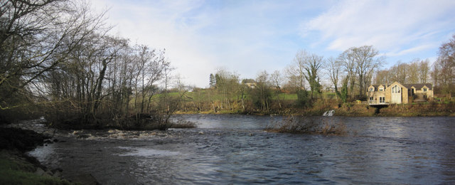
Coldwell Plantation
Wood, Forest in Northumberland
England
Coldwell Plantation
The requested URL returned error: 429 Too Many Requests
If you have any feedback on the listing, please let us know in the comments section below.
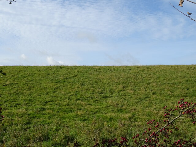
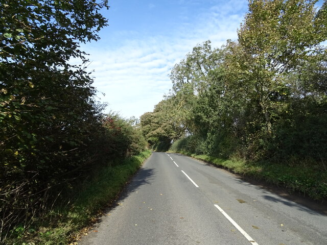
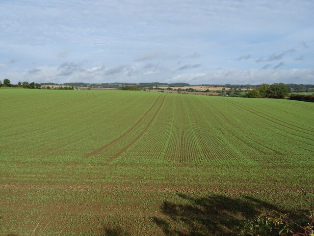
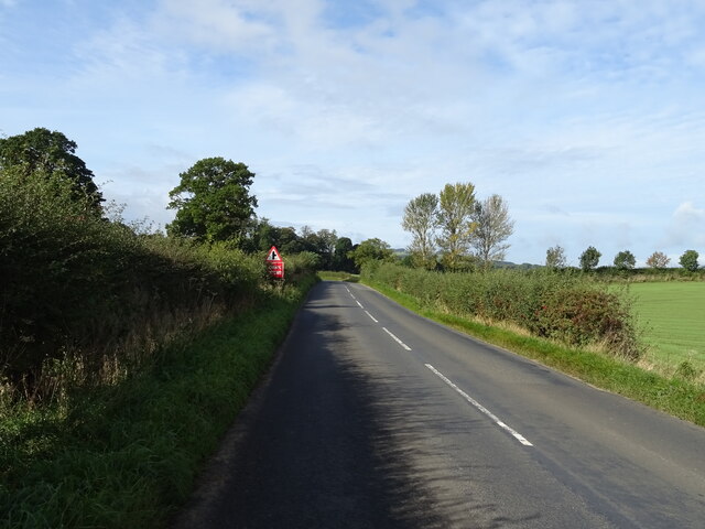
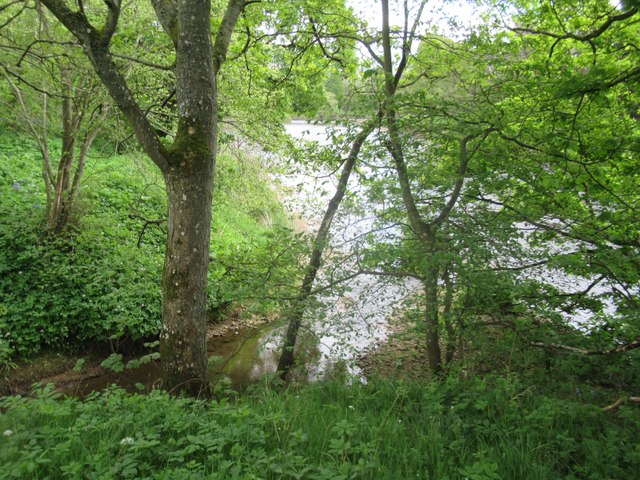
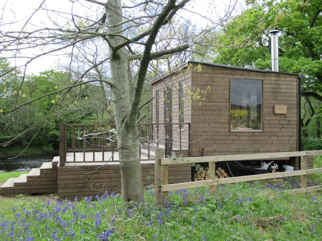
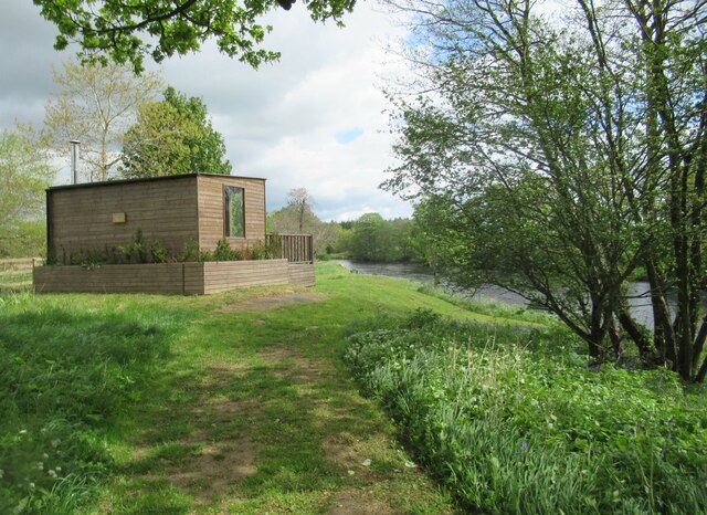
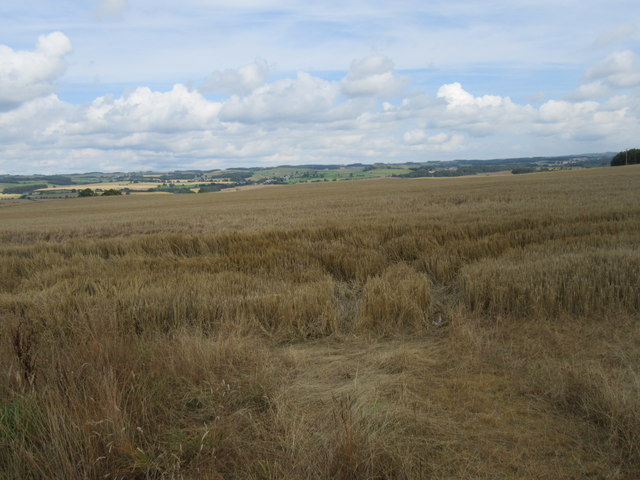
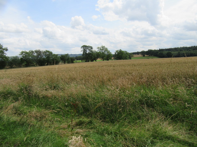
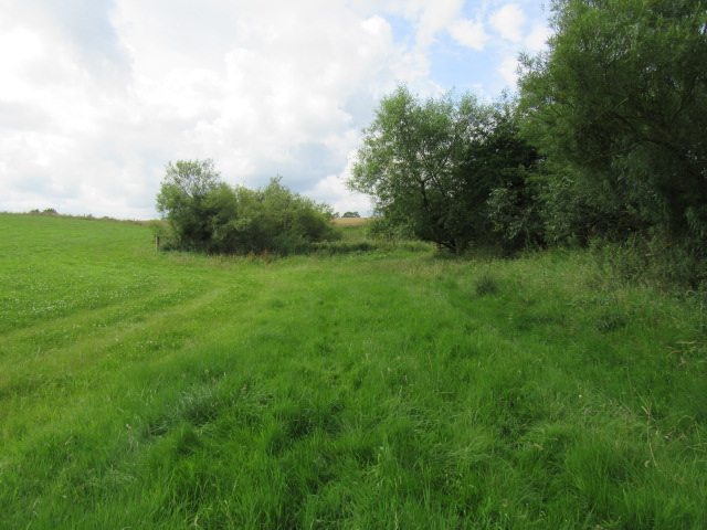
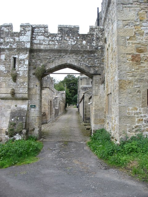
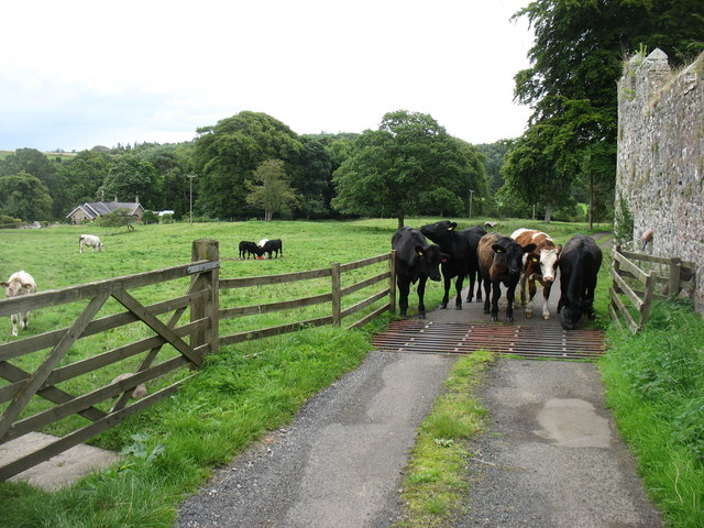
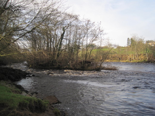
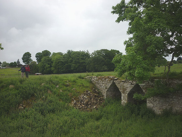
Coldwell Plantation Images
Images are sourced within 2km of 55.049497/-2.149254 or Grid Reference NY9072. Thanks to Geograph Open Source API. All images are credited.
Coldwell Plantation is located at Grid Ref: NY9072 (Lat: 55.049497, Lng: -2.149254)
Unitary Authority: Northumberland
Police Authority: Northumbria
What 3 Words
///sprayed.dined.socialite. Near Birtley, Northumberland
Nearby Locations
Related Wikis

Barrasford
Barrasford is a village in Northumberland, England. It is situated to the north of Hexham, on the North Tyne. Barrasford is an ancient village that lies...
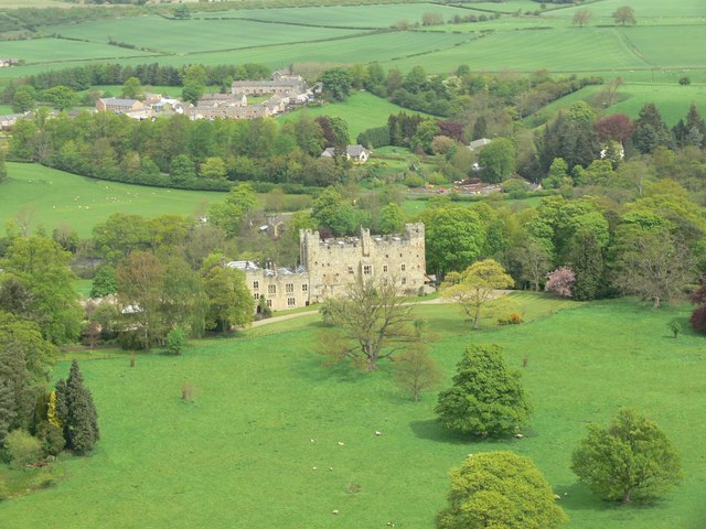
Haughton Castle
Haughton Castle is a privately owned country mansion and Grade I listed building, situated to the north of the village of Humshaugh on the west bank of...
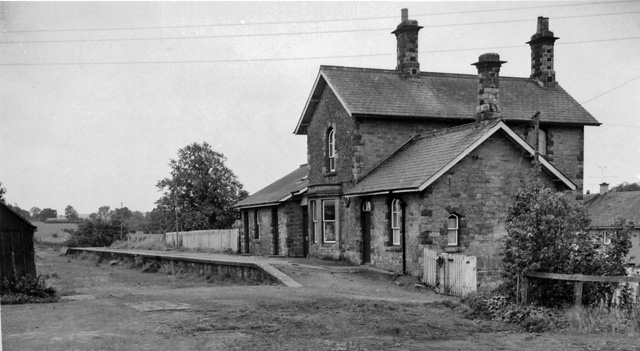
Barrasford railway station
Barrasford railway station served the village of Barrasford, Northumberland, England from 1859 to 1958 on the Border Counties Railway. == History == The...

Tynedale
Tynedale was a local government district in Northumberland, England. The district had a resident population of 58,808 according to the 2001 census. The...
Nearby Amenities
Located within 500m of 55.049497,-2.149254Have you been to Coldwell Plantation?
Leave your review of Coldwell Plantation below (or comments, questions and feedback).