New Plantation

Wood, Forest in Lancashire Burnley

England

New Plantation

The Pennine Bridleway above Swinden Water The bridleway does a lot of zigzags both on this side and the other side of the valley.
The Pennine Bridleway above Swinden Water Credit: Bill Boaden

The requested URL returned error: 429 Too Many Requests

If you have any feedback on the listing, please let us know in the comments section below.

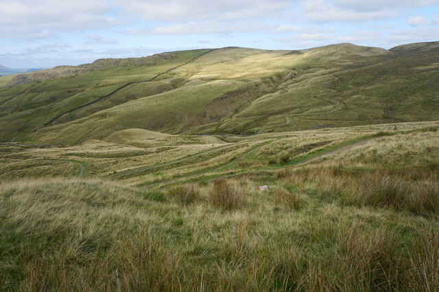
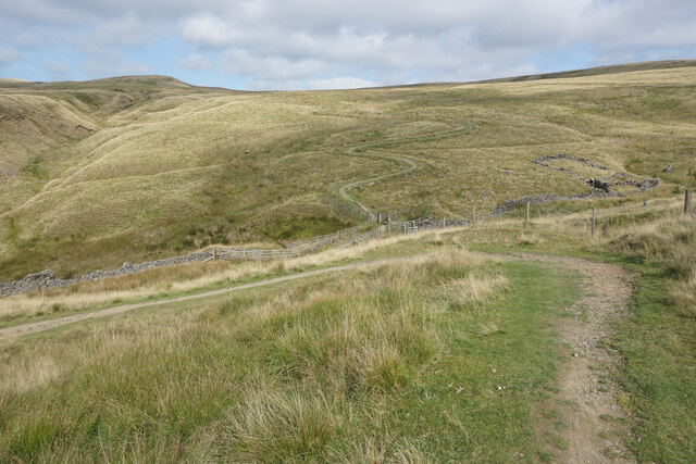
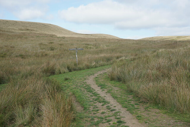
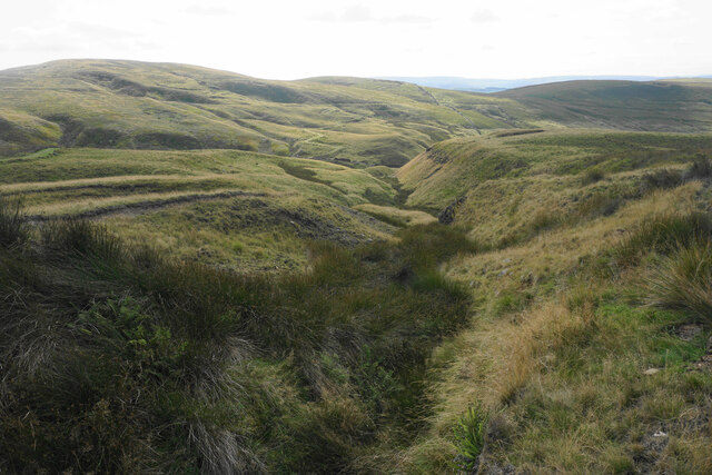
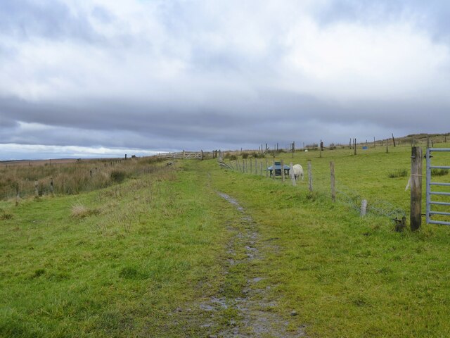
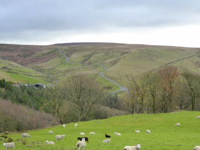
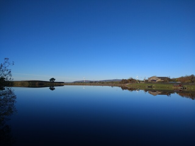
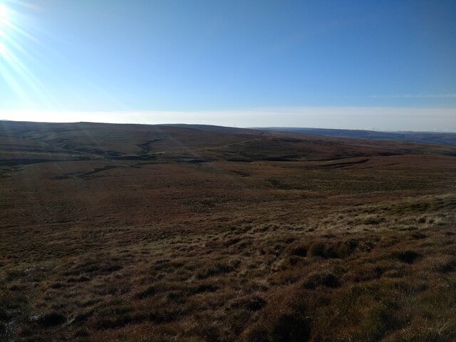
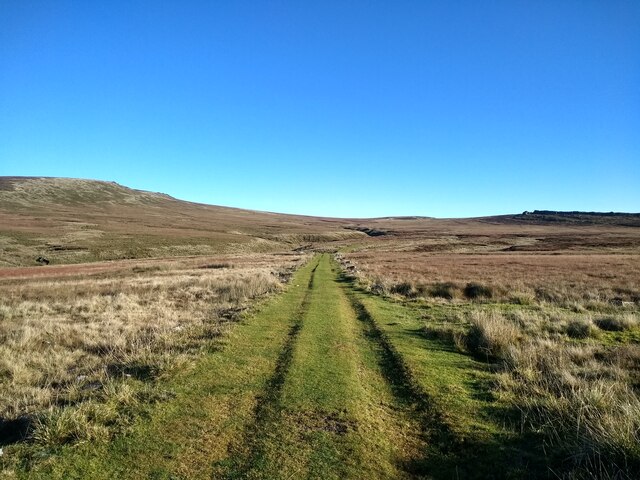
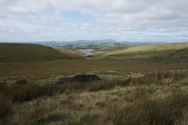
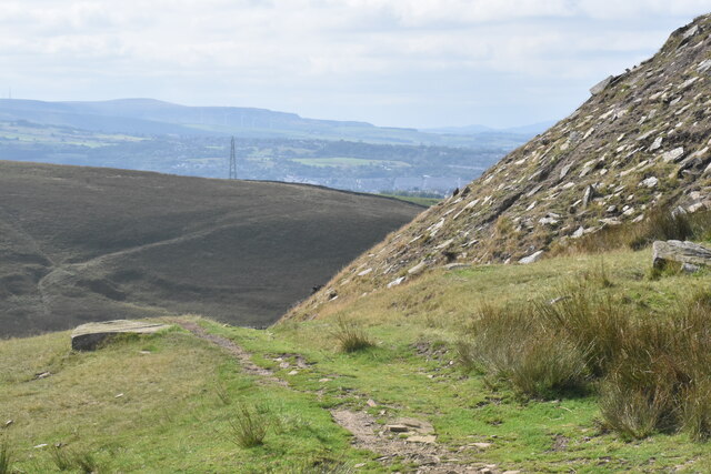
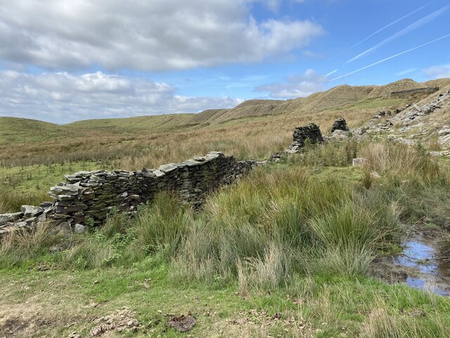
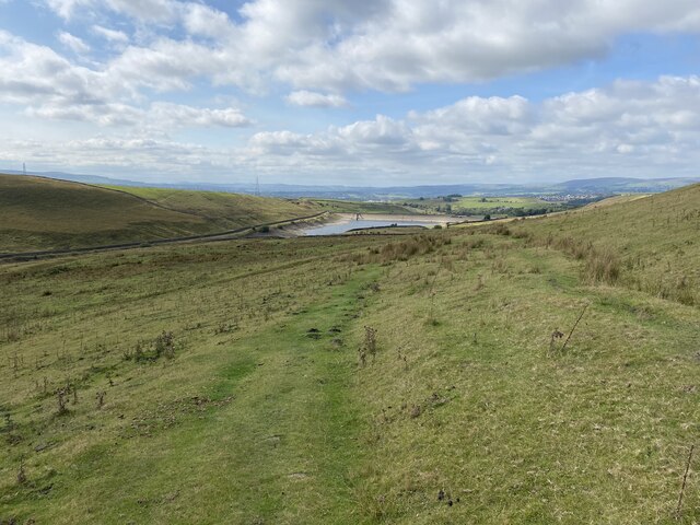
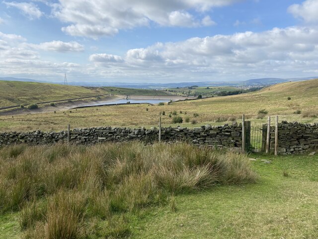
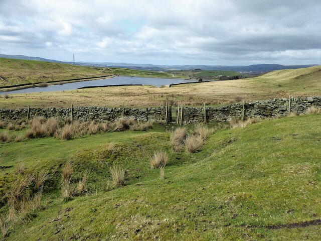
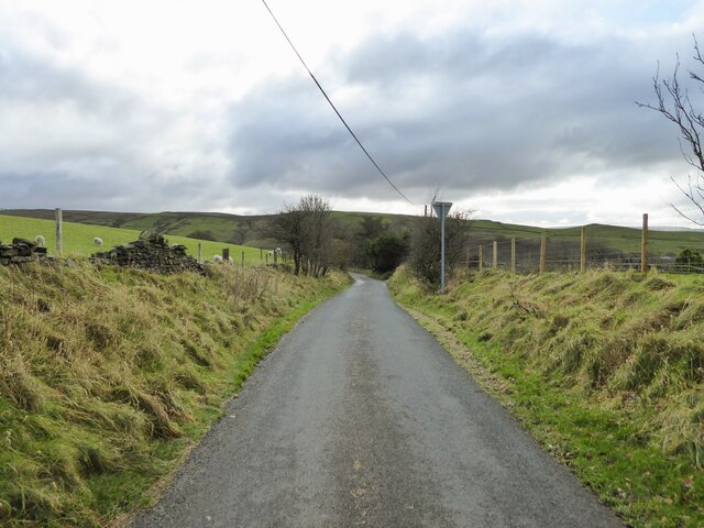
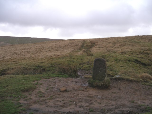
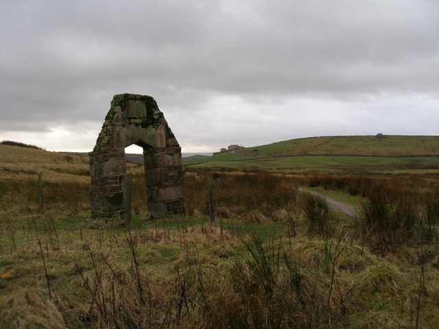
New Plantation Images

Images are sourced within 2km of 53.808034/-2.1466997 or Grid Reference SD9034. Thanks to Geograph Open Source API. All images are credited.

The Pennine Bridleway above Swinden Water The bridleway does a lot of zigzags both on this side and the other side of the valley.
The Pennine Bridleway above Swinden Water
The bridleway does a lot of zigzags both on this side and the other side of the valley.
The Pennine Bridleway crossing Swinden Water A winding route which reflects previous quarrying activity in the valley.
The Pennine Bridleway crossing Swinden Water
A winding route which reflects previous quarrying activity in the valley.
Path junction on Extwistle Moor The Pennine Bridleway continues up onto the moor, while a path leads off left down to Swinden Bridge.
Path junction on Extwistle Moor
The Pennine Bridleway continues up onto the moor, while a path leads off left down to Swinden Bridge.
Grain on Extwistle Moor This forms a tributary of Swinden Water.
Grain on Extwistle Moor
This forms a tributary of Swinden Water.
Bronte Way A named route to Wycoller, here close to Halifax Road it is marked as a bridle path
Bronte Way
A named route to Wycoller, here close to Halifax Road it is marked as a bridle path
Road to Widdop A minor road climbs out of the Thursden Valley towards Widdop in Yorkshire
Road to Widdop
A minor road climbs out of the Thursden Valley towards Widdop in Yorkshire
Looking northwest across Lower Coldwell Reservoir from Back Lane
Looking south across the valley from just south of the top of Lad Law
Looking down the track between Lad Law and Grey Stone Hill
Moorland below Ben Edge Swinden Reservoir is at the bottom and Pendle in the background.
Moorland below Ben Edge
Swinden Reservoir is at the bottom and Pendle in the background.
Path on Delf Hill The path down to Swinden Bridge passes the remains of quarrying on Delf Hill.
Path on Delf Hill
The path down to Swinden Bridge passes the remains of quarrying on Delf Hill.
Dilapidated wall on Delf Hill The remains of former quarrying on the top of the hill are quite evident.
Dilapidated wall on Delf Hill
The remains of former quarrying on the top of the hill are quite evident.
Path down to Swinden Bridge The lower part of the path is a gentle grassy descent. Swinden Reservoir is seen below, with the water level clearly below capacity.
Path down to Swinden Bridge
The lower part of the path is a gentle grassy descent. Swinden Reservoir is seen below, with the water level clearly below capacity.
Iron gate in a wall The gate is an unusual feature on the moors, but it is in perfect working order.
Iron gate in a wall
The gate is an unusual feature on the moors, but it is in perfect working order.
Boundary wall and footpath gate Leaving access land centred on Extwistle Moor to approach the Swinden Reservoirs
Boundary wall and footpath gate
Leaving access land centred on Extwistle Moor to approach the Swinden Reservoirs
Ridehalgh Lane Dropping down into Thursden Valley from Halifax Road
Ridehalgh Lane
Dropping down into Thursden Valley from Halifax Road
Boundary stone on Will Moor
All that remains of New House near Thursden
Show me another place!

New Plantation is located at Grid Ref: SD9034 (Lat: 53.808034, Lng: -2.1466997)

Administrative County: Lancashire

District: Burnley

Police Authority: Lancashire

What 3 Words

///stone.homelands.humans. Near Nelson, Lancashire

Related Wikis

Boulsworth Hill

Boulsworth Hill is a large expanse of moorland, the highest point of the South Pennines of south-eastern Lancashire, England, separating the Borough of...

Briercliffe

Briercliffe (historically Briercliffe-with-Extwistle) is a civil parish in the borough of Burnley, in Lancashire, England. It is situated 3 miles (4.8...

Haggate

Haggate is a small village within the parish of Briercliffe, situated three miles north of Burnley, Lancashire. The village is mostly built around a small...

Trawden Brook

Trawden Brook is a minor river in Lancashire, England. It is 3.48 miles (5.6 km) long and has a catchment area of 4.40 square miles (11.4 km2).Rising on...

Have you been to New Plantation?

Leave your review of New Plantation below (or comments, questions and feedback).