Thursden Valley
Valley in Lancashire Burnley
England
Thursden Valley
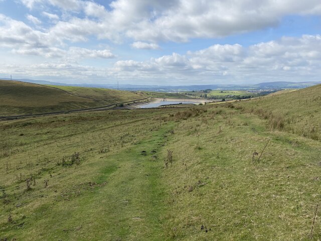
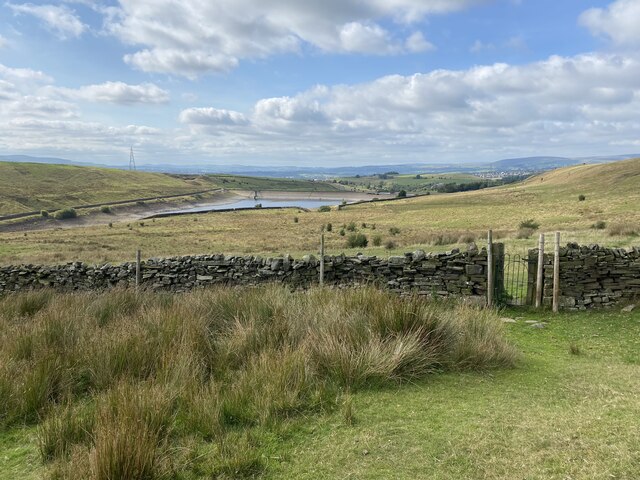
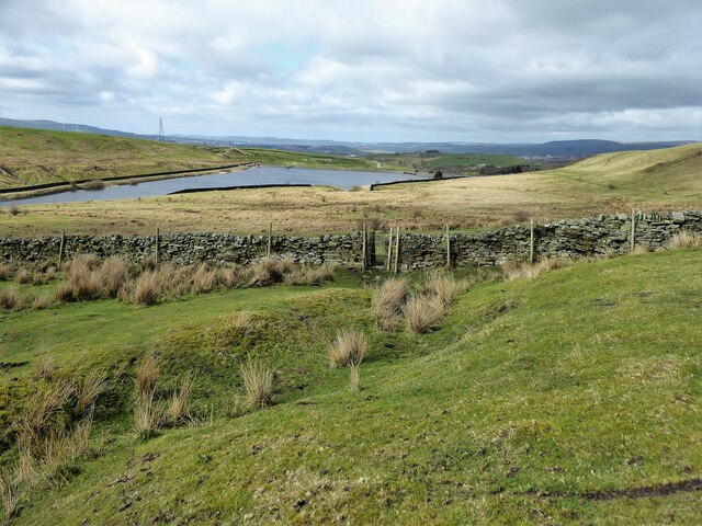
Thursden Valley is a picturesque and serene area located in the county of Lancashire, England. Nestled between the rolling hills and verdant countryside, this valley offers a tranquil escape from the bustling city life. It is situated in the southern part of the county, near the towns of Burnley and Colne.
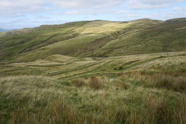
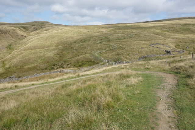
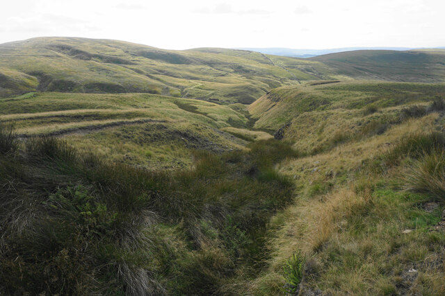
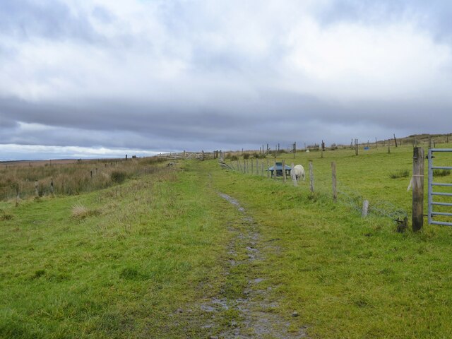
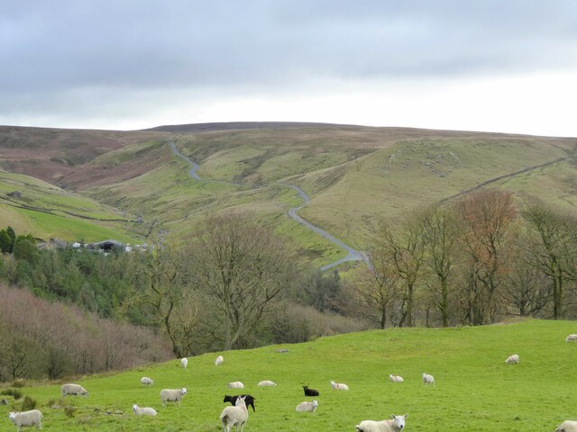
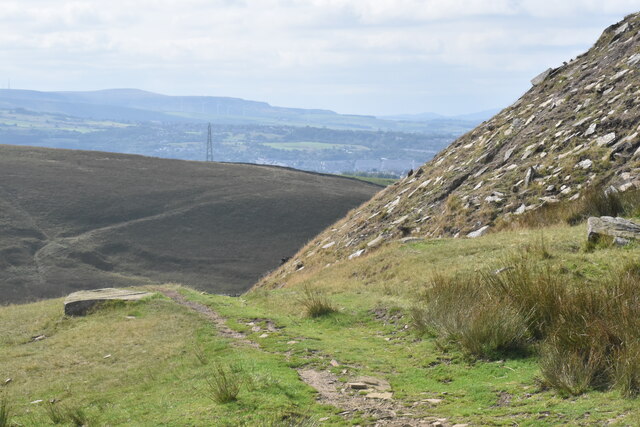
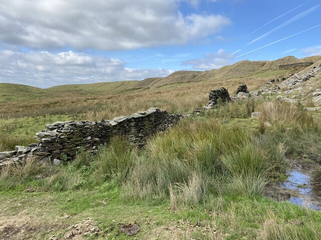
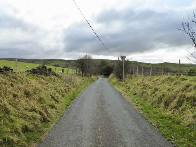
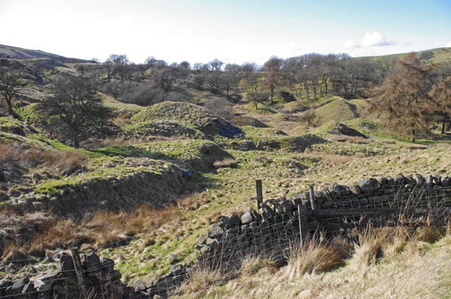
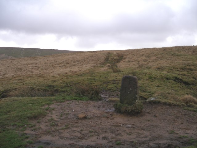
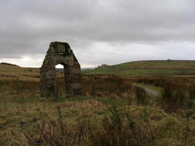
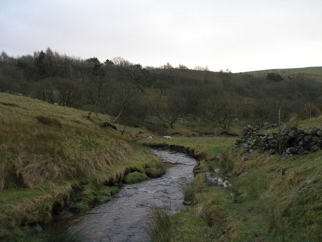
The valley is characterized by its lush green landscapes, dotted with charming stone-built cottages and farms. The River Thursden meanders through the valley, adding to its natural beauty and providing a habitat for various wildlife species. The surrounding hills, including Pendle Hill and Boulsworth Hill, offer stunning panoramic views of the valley.
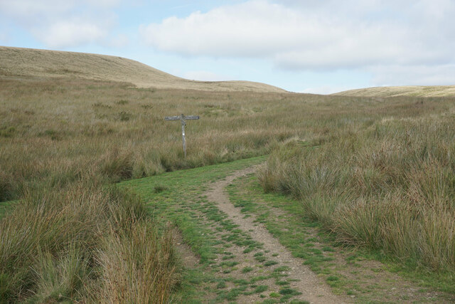
Thursden Valley is a popular destination for hikers, nature enthusiasts, and those seeking a peaceful retreat. The area is crisscrossed by numerous walking trails, allowing visitors to explore the rich flora and fauna. The valley is also home to a variety of bird species, making it a haven for birdwatchers.
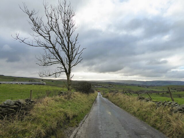
The nearby village of Trawden offers amenities such as quaint pubs, local shops, and traditional tea rooms, providing a taste of rural Lancashire life. The valley is well-connected by road, with easy access to the nearby towns and cities.
Overall, Thursden Valley is a hidden gem in Lancashire, offering a tranquil escape, breathtaking natural beauty, and a chance to immerse oneself in the peaceful countryside.
If you have any feedback on the listing, please let us know in the comments section below.
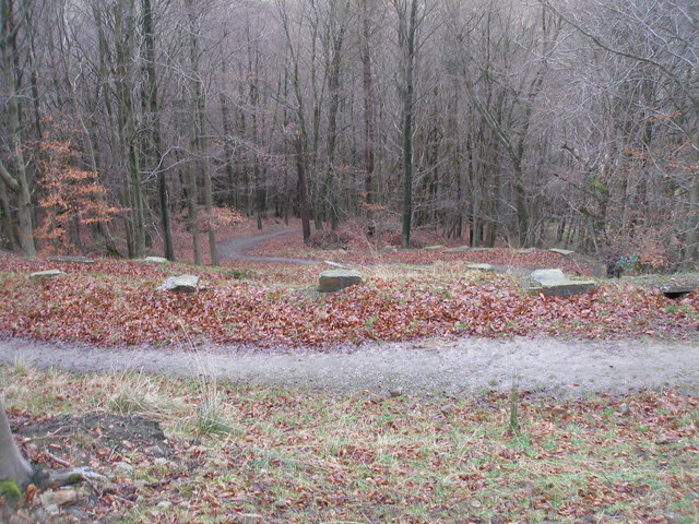
Thursden Valley Images
Images are sourced within 2km of 53.808821/-2.1502104 or Grid Reference SD9034. Thanks to Geograph Open Source API. All images are credited.
Thursden Valley is located at Grid Ref: SD9034 (Lat: 53.808821, Lng: -2.1502104)
Administrative County: Lancashire
District: Burnley
Police Authority: Lancashire
What 3 Words
///salmon.privately.prevented. Near Nelson, Lancashire
Nearby Locations
Related Wikis

Briercliffe
Briercliffe (historically Briercliffe-with-Extwistle) is a civil parish in the borough of Burnley, in Lancashire, England. It is situated 3 miles (4.8...

Boulsworth Hill
Boulsworth Hill is a large expanse of moorland, the highest point of the South Pennines of south-eastern Lancashire, England, separating the Borough of...

Haggate
Haggate is a small village within the parish of Briercliffe, situated three miles north of Burnley, Lancashire. The village is mostly built around a small...

Queen Street Mill
Queen Street Mill is a former weaving mill in Harle Syke, a suburb to the north-east of Burnley, Lancashire, that is a Grade I listed building. It now...

Trawden Brook
Trawden Brook is a minor river in Lancashire, England. It is 3.48 miles (5.6 km) long and has a catchment area of 4.40 square miles (11.4 km2).Rising on...

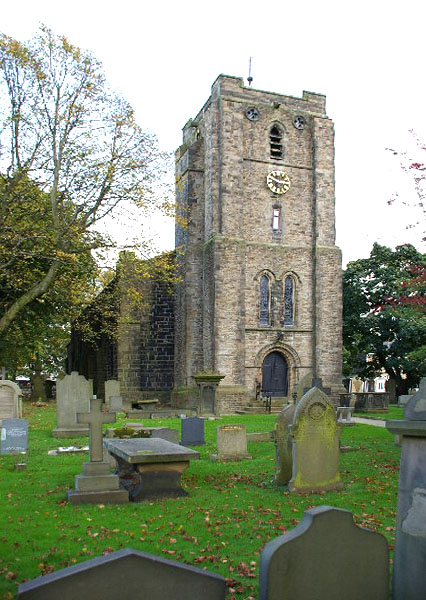
St James' Church, Briercliffe
St James' Church is in Church Street, Briercliffe, Lancashire, England. It is an active Anglican parish church in the deanery of Burnley, the archdeaconry...
St John the Evangelist's Church, Worsthorne
St John the Evangelist's Church is in Church Square in the village of Worsthorne, Lancashire, England. It is an active Anglican parish church in the deanery...

Harle Syke Mill
Harle Syke mill is a weaving shed in Briercliffe on the outskirts of Burnley, Lancashire, England. It was built on a green field site in 1856, together...
Have you been to Thursden Valley?
Leave your review of Thursden Valley below (or comments, questions and feedback).