The Belt
Wood, Forest in Wiltshire
England
The Belt
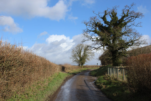
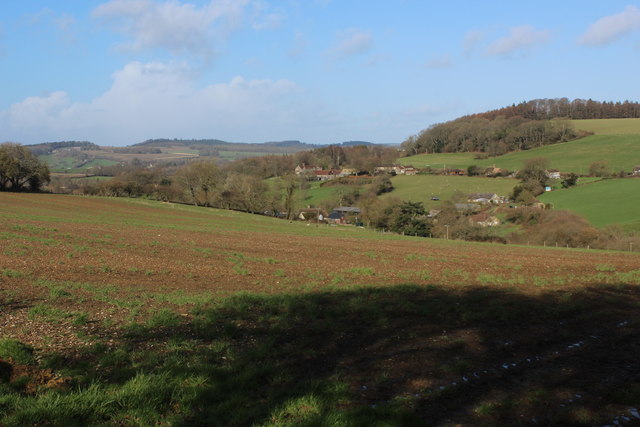
The Belt, located in Wiltshire, is a vast woodland area famous for its picturesque beauty and diverse flora and fauna. Spread across several square miles, this woodland is a popular destination for nature enthusiasts, hikers, and bird watchers.
The woodland is predominantly made up of oak trees, which form a dense canopy, creating a shady and serene atmosphere. The forest floor is covered with a thick layer of leaf litter, providing a habitat for various small mammals and insects. The Belt is also home to a variety of other tree species, including beech, birch, and hazel, adding to the diversity of the woodland.
The area is known for its rich biodiversity, with a wide range of wildlife inhabiting the forest. Visitors may catch glimpses of roe deer, badgers, foxes, and squirrels, which are commonly spotted throughout the woodland. Birdwatchers can delight in the presence of numerous species, such as great spotted woodpeckers, tawny owls, and various songbirds.
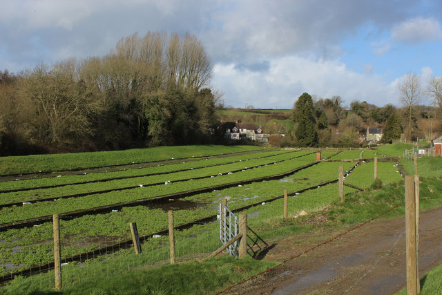
The Belt offers numerous walking trails, allowing visitors to explore the woodland at their own pace. These well-marked paths meander through the trees, offering stunning views of the surrounding countryside and providing ample opportunities for nature photography.
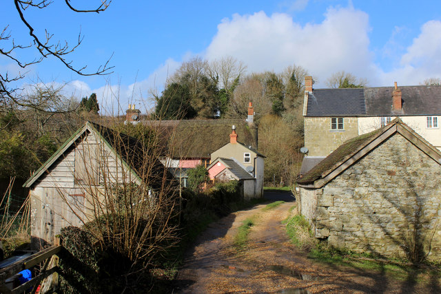
The woodland is managed by local authorities, ensuring its preservation and conservation for future generations to enjoy. The Belt is a haven for those seeking solace in nature, offering a tranquil retreat away from the hustle and bustle of city life.
If you have any feedback on the listing, please let us know in the comments section below.
The Belt Images
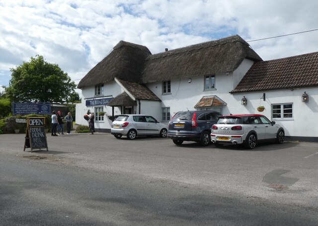
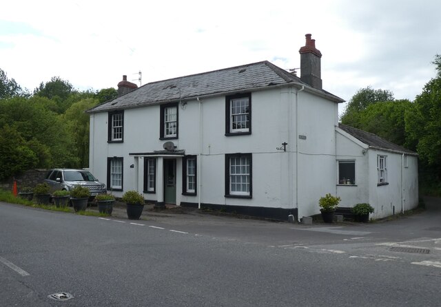
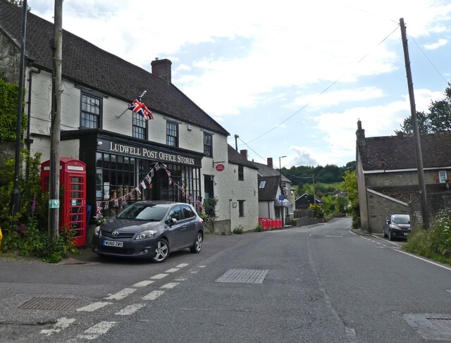
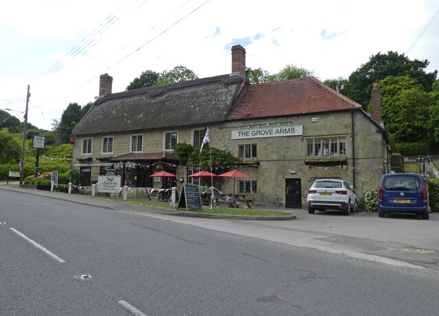
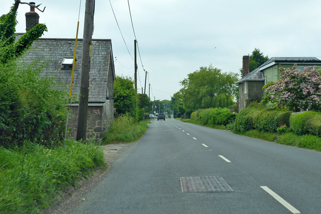
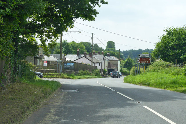
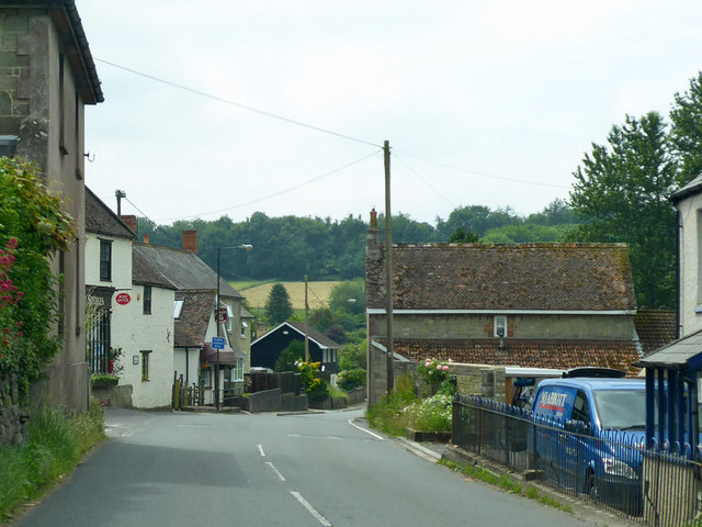
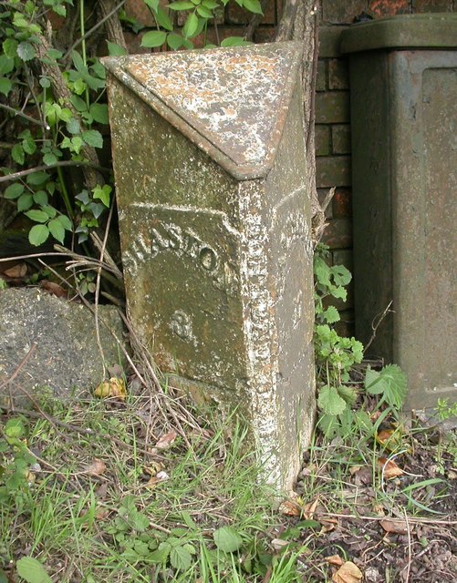
Images are sourced within 2km of 51.013377/-2.1411009 or Grid Reference ST9023. Thanks to Geograph Open Source API. All images are credited.
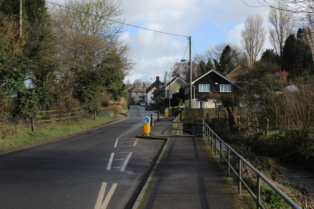

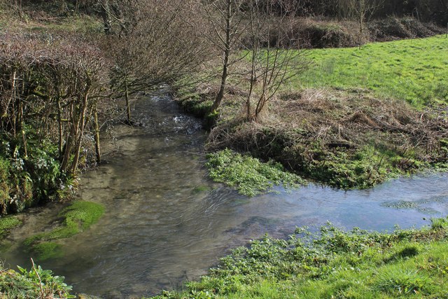
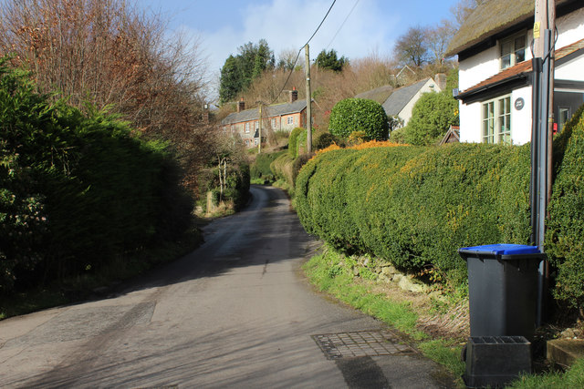
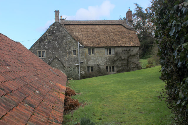
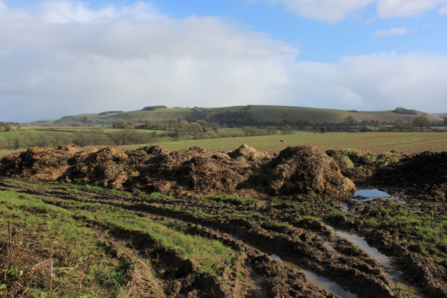
The Belt is located at Grid Ref: ST9023 (Lat: 51.013377, Lng: -2.1411009)
Unitary Authority: Wiltshire
Police Authority: Wiltshire
What 3 Words
///overhear.condense.forum. Near Shaftesbury, Dorset
Nearby Locations
Related Wikis
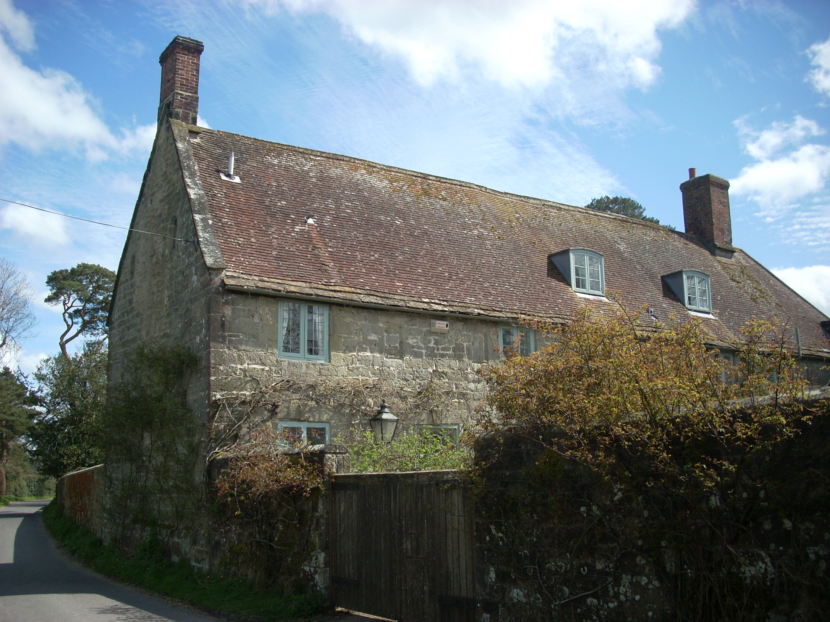
Shute House, Donhead St Mary
Shute House, Donhead St Mary, Wiltshire, England is a former rectory, now a private home, notable for its gardens designed by Geoffrey Jellicoe. About...

Donhead St Mary
Donhead St Mary is a village and civil parish in southwest Wiltshire, England, on the county border with Dorset. The village lies about 2+1⁄2 miles (4...

Ludwell, Wiltshire
Ludwell is a small village in south Wiltshire, England, approximately 3 miles (5 km) east of the Dorset town of Shaftesbury. It lies within the Cranborne...

Lower Coombe and Ferne Brook Meadows
Lower Coombe and Ferne Brook Meadows (grid reference ST916236) is an 11.34 hectare biological Site of Special Scientific Interest in Wiltshire, England...
Nearby Amenities
Located within 500m of 51.013377,-2.1411009Have you been to The Belt?
Leave your review of The Belt below (or comments, questions and feedback).