Wildforest Wood

Wood, Forest in Cheshire

England

Wildforest Wood

St Mary's Church Village church in Bosley.
St Mary's Church Credit: steven ruffles

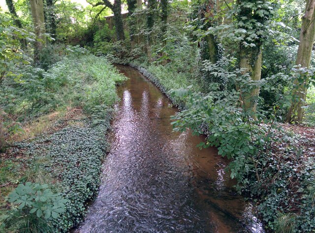
Wildforest Wood is a pristine woodland located in Cheshire, England. Spanning over a vast area, it is a haven for nature lovers and outdoor enthusiasts alike. The wood is known for its breathtaking beauty, with towering trees, lush vegetation, and a diverse range of wildlife.

The wood is predominantly composed of broadleaf trees, including oak, beech, and ash, which create a dense canopy overhead. This provides a shaded and cool environment, perfect for a leisurely stroll or a peaceful picnic. The forest floor is carpeted with a variety of wildflowers, mushrooms, and ferns, adding to the enchanting atmosphere.

Wildforest Wood is teeming with wildlife, making it a popular spot for birdwatchers and nature photographers. It is home to a myriad of bird species, including woodpeckers, owls, and warblers. Visitors may also spot small mammals such as squirrels, rabbits, and even deer roaming freely within the wood.

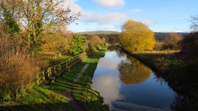
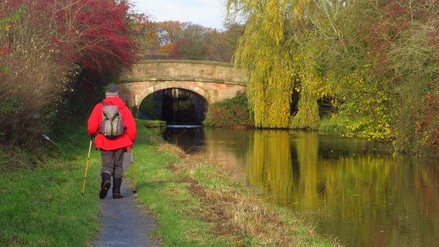
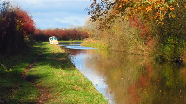
For those seeking more adventure, the wood offers several walking trails and nature paths. These trails provide an opportunity to explore the woodland further and discover hidden gems, such as tranquil ponds and babbling streams. The wood also features a designated picnic area, complete with benches and tables, where visitors can relax and enjoy the serene surroundings.

Wildforest Wood is a true gem in Cheshire, offering visitors a chance to escape the hustle and bustle of everyday life and immerse themselves in the beauty of nature. Whether it be a leisurely walk, a picnic with loved ones, or simply taking in the sights and sounds, this woodland provides a tranquil retreat for all who visit.

If you have any feedback on the listing, please let us know in the comments section below.

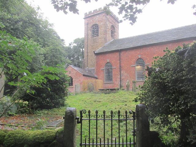
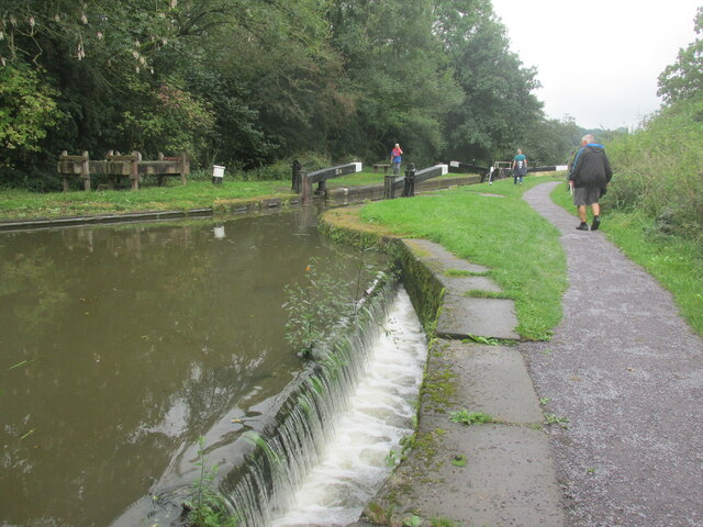
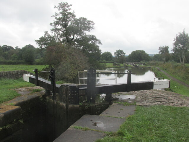
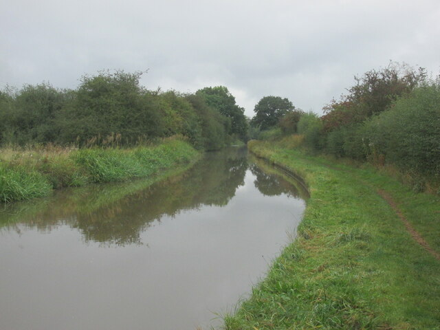
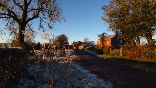
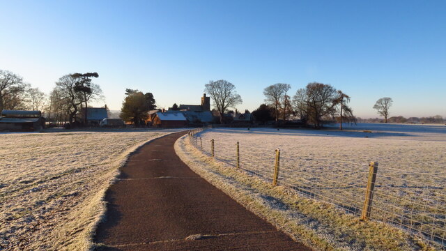
Wildforest Wood Images

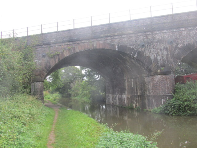
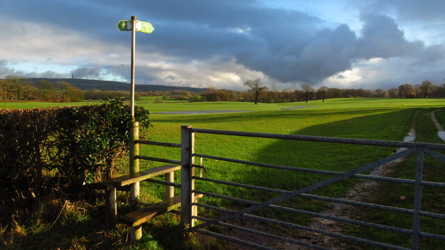
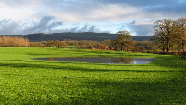
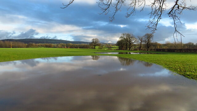
Images are sourced within 2km of 53.194609/-2.1482007 or Grid Reference SJ9066. Thanks to Geograph Open Source API. All images are credited.

St Mary's Church Village church in Bosley.
St Mary's Church
Village church in Bosley.
Lock number 12. The lowest of the Bosley locks.
Lock number 12.
The lowest of the Bosley locks.
Lock along the Macclesfield Canal No 6 of the Bosley Locks.
Lock along the Macclesfield Canal
No 6 of the Bosley Locks.
Macclesfield Canal A beautiful canal walk.
Macclesfield Canal
A beautiful canal walk.
Harrington Arms, Bosley An imposing building sitting on the main road between Macclesfield and Leek.
Harrington Arms, Bosley
An imposing building sitting on the main road between Macclesfield and Leek.
A54/A523 Crossroads The A54 is closed - hence the blue barriers - due to the first significant snowfall of the year here, brought in by Storm Arwen. This is taken from the A54 towards the A523 northbound.
A54/A523 Crossroads
The A54 is closed - hence the blue barriers - due to the first significant snowfall of the year here, brought in by Storm Arwen. This is taken from the A54 towards the A523 northbound.
Dane Aqueduct, Macclesfield Canal
Macclesfield Canal by Old Driving Ln Bridge
Water channel, linked to Macclesfield Canal Section of water channel, built to take water from Bosley Reservoir down to Macclesfield Canal.
Water channel, linked to Macclesfield Canal
Section of water channel, built to take water from Bosley Reservoir down to Macclesfield Canal.
The Macclesfield Canal - view northeast from Old Driving Lane Bridge near Bosley
The Macclesfield Canal - approaching Peckerpool Wood Bridge near Bosley
The Macclesfield Canal - near Crow Holt Bridge
Railway across the Macclesfield Canal A walk in Cheshire.
Railway across the Macclesfield Canal
A walk in Cheshire.
Footpath to North Rode at Rodegreen
Flooded field by Shellow Lane, Gawsworth
Rodegreen & Pexall Rd
North Rode Church & Yew Tree Farm
Show me another place!

Wildforest Wood is located at Grid Ref: SJ9066 (Lat: 53.194609, Lng: -2.1482007)

Unitary Authority: Cheshire East

Police Authority: Cheshire

What 3 Words

///clipboard.hexes.debate. Near Eaton, Cheshire

Related Wikis

Bosley Lock Flight

Bosley Lock Flight (grid reference SJ904662) is a flight of twelve canal locks, situated on the Macclesfield Canal at Bosley, near Macclesfield, Cheshire...

North Rode railway station

North Rode railway station originally North Rode junction served the village of North Rode, Cheshire. The station was opened by the North Staffordshire...
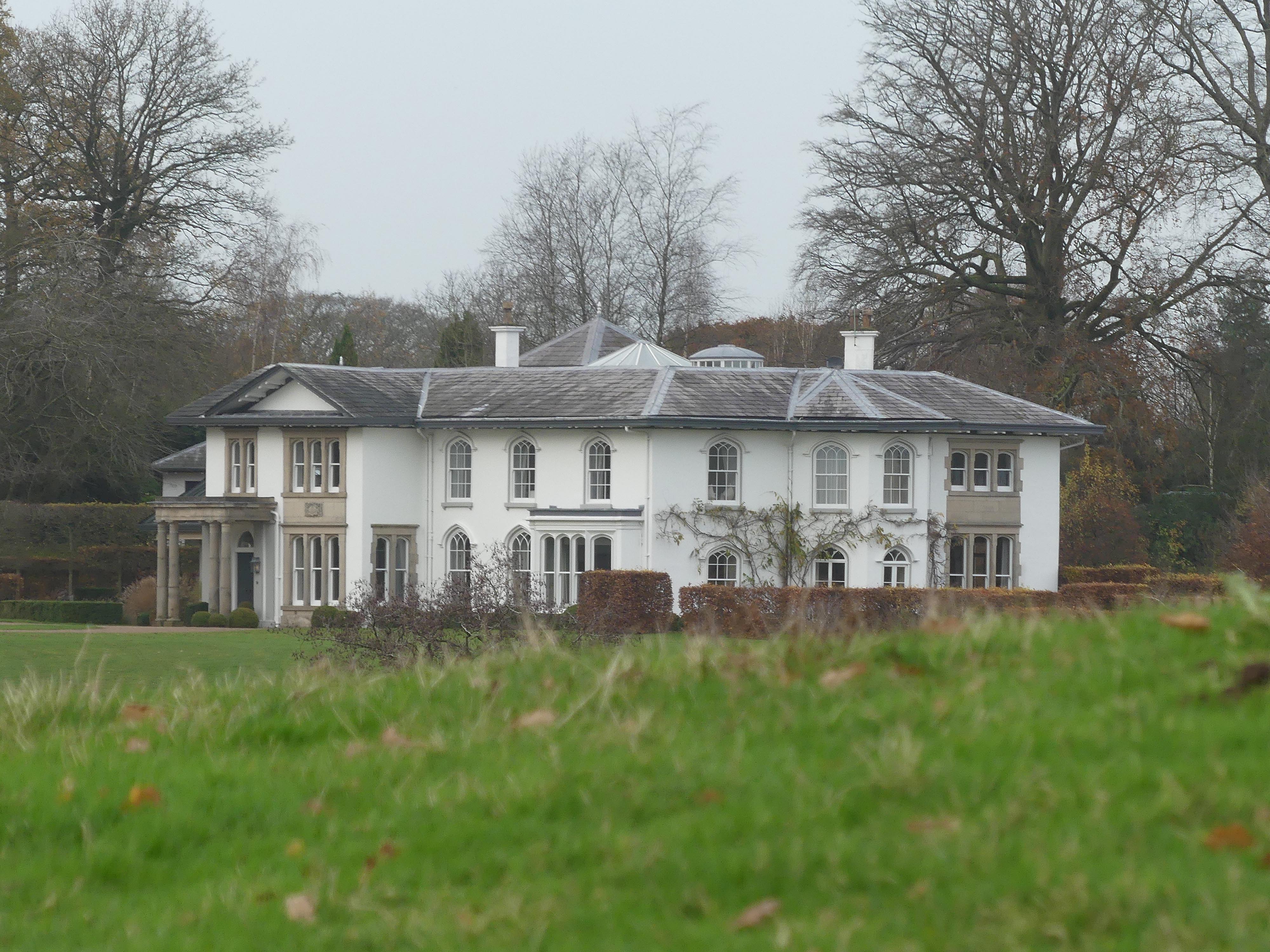
North Rode Manor

North Rode Manor is a country house standing to the north of the village of North Rode, Cheshire, England. The house was built between 1838 and 1840 for...

North Rode

North Rode is a small village and civil parish in the unitary authority of Cheshire East and the ceremonial county of Cheshire, England. According to the...

Nearby Amenities

Located within 500m of 53.194609,-2.1482007
Give Way
Direction: backward
Lat/Long: 53.1984469/-2.150266
Post Box
Check Date Collection Times: 2023-02-11
Collection Times: Mo-Fr 16:15; Sa 09:00
Ref: CW12 14
Royal Cypher: EIIR
Royal Cypher Wikidata: Q33102113
Lat/Long: 53.1986588/-2.1500393
Seamark Type: gate
Waterway: lock_gate
Lat/Long: 53.1967772/-2.1448752
Bus Stop
North Rode, Station Road / Park Road
Bus: yes
Naptan AtcoCode: 0600MA19079
Naptan Bearing: N
Naptan BusStopType: CUS
Naptan CommonName: Park Road
Naptan Crossing: Park Road
Naptan Indicator: nr
Naptan Landmark: Railway Line
Naptan LocalityName: North Rode
Naptan NaptanCode: chewmpt
Naptan ShortCommonName: Park Road
Naptan Street: Station Road
Naptan Verified: no
Network: Cheshire East Council
Operator: Ansa Transport
Public Transport: platform
Source: naptan_import
Lat/Long: 53.1982601/-2.1504432
Bus Stop
North Rode, Station Road / The Smithy
Bus: yes
Naptan AtcoCode: 0600MA19080
Naptan Bearing: NW
Naptan BusStopType: CUS
Naptan CommonName: The Smithy
Naptan Crossing: Buxton Road
Naptan Indicator: opp
Naptan Landmark: The Smithy
Naptan LocalityName: North Rode
Naptan NaptanCode: chewmta
Naptan ShortCommonName: The Smithy
Naptan Street: Station Road
Naptan Verified: no
Network: Cheshire East Council
Operator: Ansa Transport
Public Transport: platform
Source: naptan_import
Lat/Long: 53.1937807/-2.1454881
Bus Stop
North Rode, Station Road / The Smithy
Bus: yes
Naptan AtcoCode: 0600MA19081
Naptan Bearing: SE
Naptan BusStopType: CUS
Naptan CommonName: The Smithy
Naptan Crossing: Buxton Road
Naptan Indicator: o/s
Naptan Landmark: The Smithy
Naptan LocalityName: North Rode
Naptan NaptanCode: chewmtg
Naptan ShortCommonName: The Smithy
Naptan Street: Station Road
Naptan Verified: no
Network: Cheshire East Council
Operator: Ansa Transport
Public Transport: platform
Source: naptan_import
Lat/Long: 53.1938756/-2.1453536
Bus Stop
Bosley, Buxton Road / Bosley Locks
Bus: yes
Naptan AtcoCode: 0600MA6129
Naptan Bearing: SW
Naptan BusStopType: CUS
Naptan CommonName: Bosley Locks
Naptan Crossing: Station Road
Naptan Indicator: opp
Naptan Landmark: Mortar Mill House
Naptan LocalityName: Bosley
Naptan NaptanCode: cheptdg
Naptan ShortCommonName: Bosley Locks
Naptan Street: Buxton Road
Naptan Verified: no
Network: Cheshire East Council
Operator: Ansa Transport
Public Transport: platform
Source: naptan_import
Lat/Long: 53.1937376/-2.1442532
Bus Stop
Bosley, Buxton Road / Bosley Locks
Bus: yes
Naptan AtcoCode: 0600MA6130
Naptan Bearing: NE
Naptan BusStopType: CUS
Naptan CommonName: Bosley Locks
Naptan Crossing: Station Road
Naptan Indicator: o/s
Naptan Landmark: Bosley Locks
Naptan LocalityName: Bosley
Naptan NaptanCode: cheptdj
Naptan ShortCommonName: Bosley Locks
Naptan Street: Buxton Road
Naptan Verified: no
Network: Cheshire East Council
Operator: Ansa Transport
Public Transport: platform
Source: naptan_import
Lat/Long: 53.1938069/-2.1442986
Bus Stop
North Rode, Station Road / Park Road
Bus: yes
Naptan AtcoCode: 0600MAIM1134
Naptan Bearing: S
Naptan BusStopType: CUS
Naptan CommonName: Park Road
Naptan Crossing: Park Road
Naptan Indicator: cnr
Naptan Landmark: Railway Line
Naptan LocalityName: North Rode
Naptan NaptanCode: chewmpm
Naptan ShortCommonName: Park Road
Naptan Street: Station Road
Naptan Verified: no
Network: Cheshire East Council
Operator: Ansa Transport
Public Transport: platform
Source: naptan_import
Lat/Long: 53.1983414/-2.1501741
Seamark Type: gate
Source: Bing
Waterway: lock_gate
Lat/Long: 53.1937848/-2.1448107
Seamark Type: gate
Waterway: lock_gate
Lat/Long: 53.1958695/-2.1453095
Seamark Type: gate
Waterway: lock_gate
Lat/Long: 53.1939926/-2.144898
Seamark Type: gate
Waterway: lock_gate
Lat/Long: 53.1917608/-2.143935
Seamark Type: gate
Waterway: lock_gate
Lat/Long: 53.1949224/-2.1452841
Seamark Type: gate
Source: Bing
Waterway: lock_gate
Lat/Long: 53.1915652/-2.143832
Seamark Type: gate
Source: Bing
Waterway: lock_gate
Lat/Long: 53.1947216/-2.1452029
Seamark Type: gate
Source: Bing
Waterway: lock_gate
Lat/Long: 53.1956584/-2.1453858
Seamark Type: gate
Source: Bing
Waterway: lock_gate
Lat/Long: 53.1965618/-2.1449854
North Rode Junction
Railway: junction
Lat/Long: 53.1970476/-2.1510807
Bench
Openbenches Id: 24006
Lat/Long: 53.1957809/-2.1452529
Bench
Backrest: no
Lat/Long: 53.1943389/-2.1452155
Give Way
Direction: forward
Lat/Long: 53.1984449/-2.1508698
The data included in this document is from www.openstreetmap.org. The data is made available under ODbL.

Have you been to Wildforest Wood?

Leave your review of Wildforest Wood below (or comments, questions and feedback).