Pomfrey's Plantation

Wood, Forest in Dorset

England

Pomfrey's Plantation

Ranges walk at West Creech Hill
Ranges walk at West Creech Hill Credit: Becky Williamson

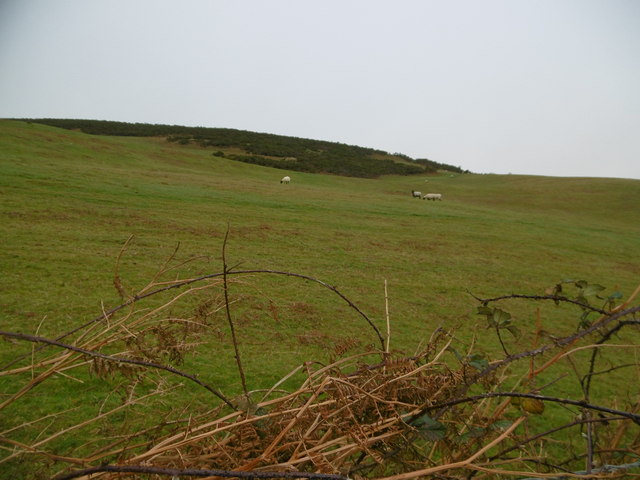
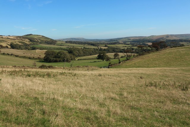
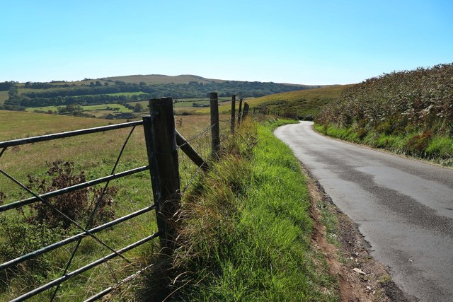
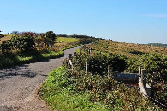
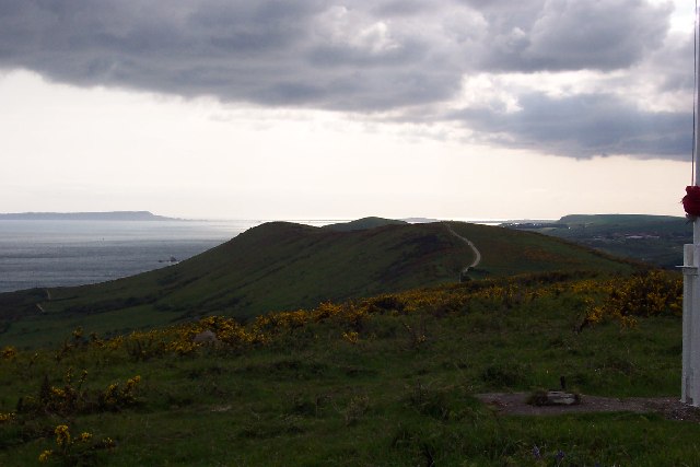
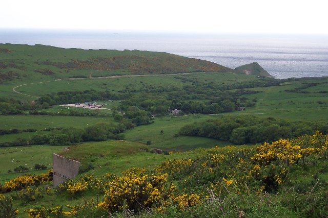
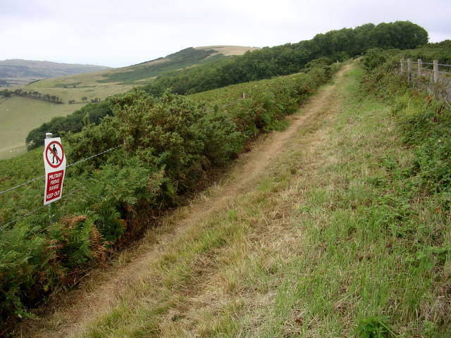
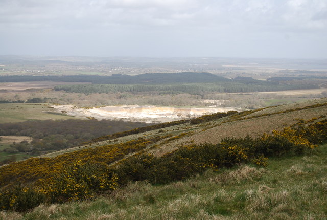
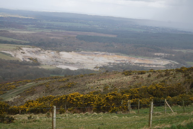
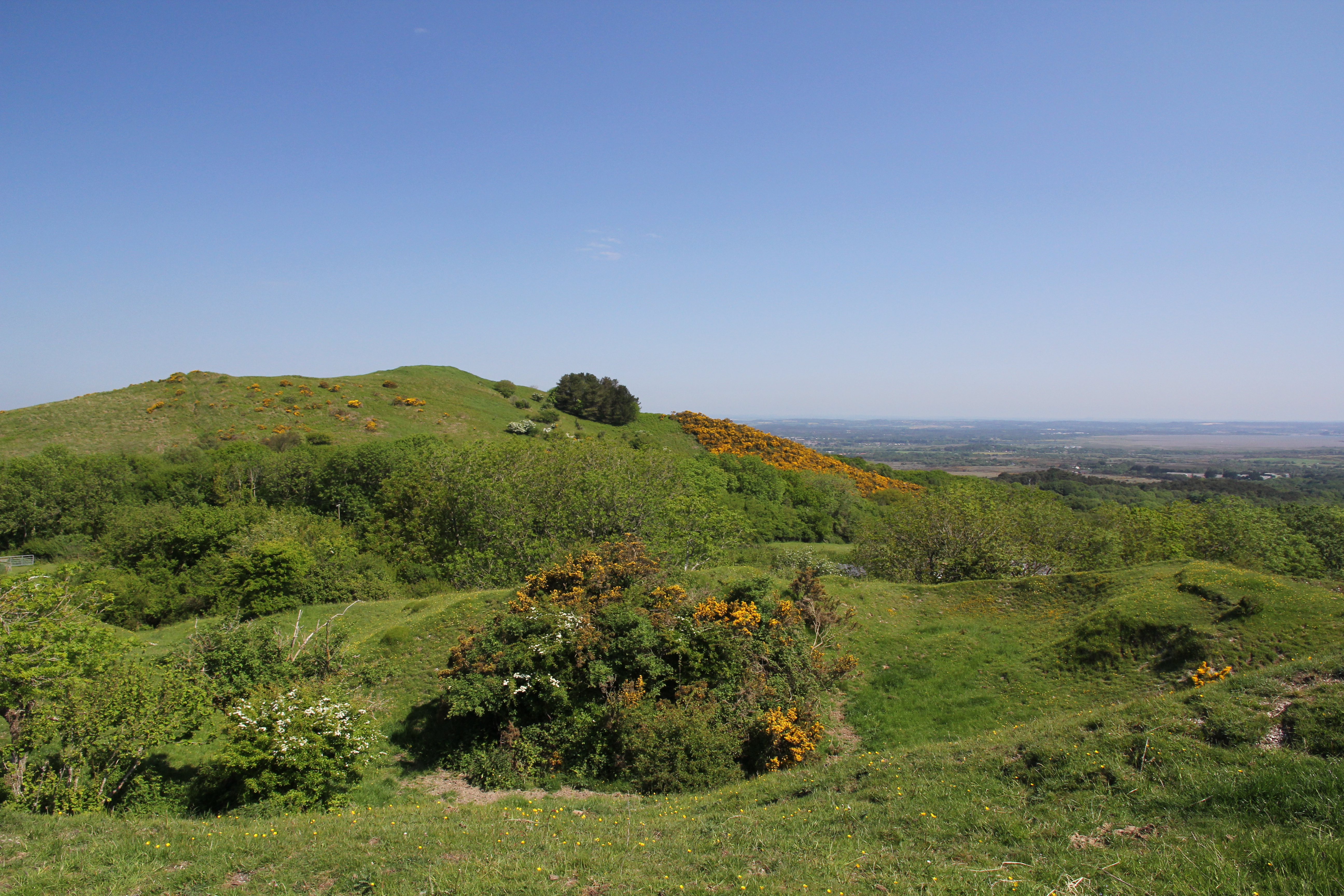
Pomfrey's Plantation is a sprawling woodland area located in the county of Dorset, England. Situated near the town of Wood, the plantation covers a vast expanse of land, encompassing dense forests and verdant meadows. With its rich biodiversity and serene ambiance, it is a popular destination for nature enthusiasts and hikers alike.

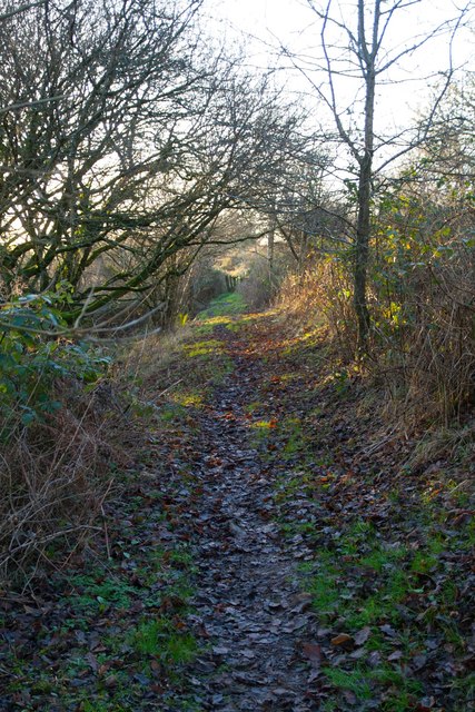
The plantation is home to a variety of tree species, including oak, beech, and fir, which dominate the landscape and create a stunning canopy of foliage. The dense woodland provides a haven for a diverse range of wildlife, such as deer, foxes, and numerous bird species, making it a prime spot for wildlife observation and photography.

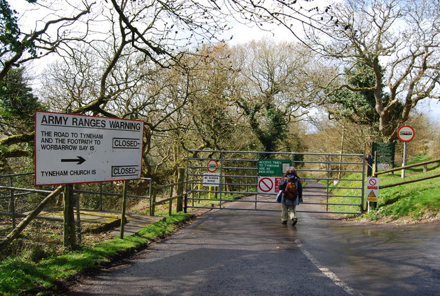
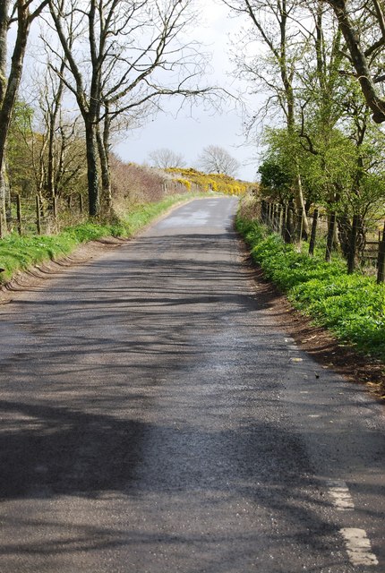
Traversing the plantation, visitors are greeted with well-maintained trails and footpaths, allowing them to explore the area at their own pace. The winding paths lead to hidden groves, babbling brooks, and picturesque clearings, creating a sense of tranquility and escape from the hustle and bustle of everyday life.

In addition to its natural beauty, Pomfrey's Plantation also holds historical significance. It is believed to have been established in the 17th century, initially serving as a source of timber for the local community. Over time, it has transformed into a cherished recreational space, cherished by locals and tourists alike.

Whether one seeks a peaceful stroll amidst nature, or an opportunity to immerse themselves in the rich history of the area, Pomfrey's Plantation offers a captivating experience for all who visit.

If you have any feedback on the listing, please let us know in the comments section below.

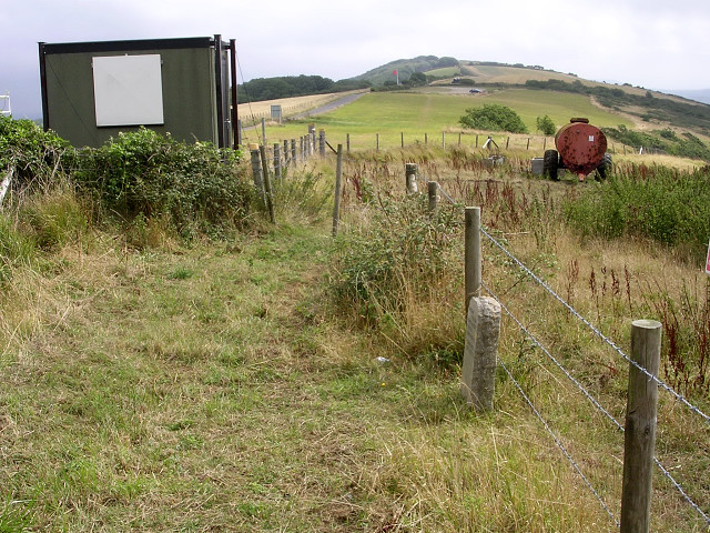
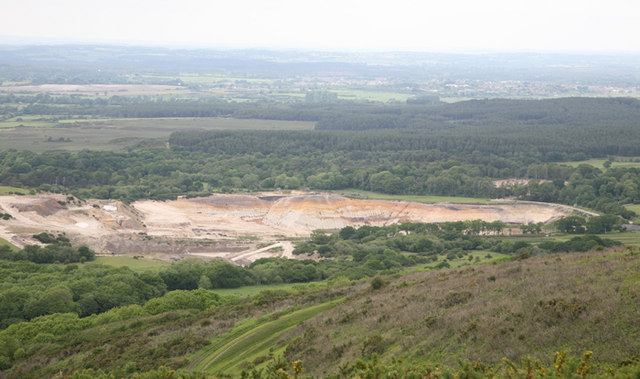
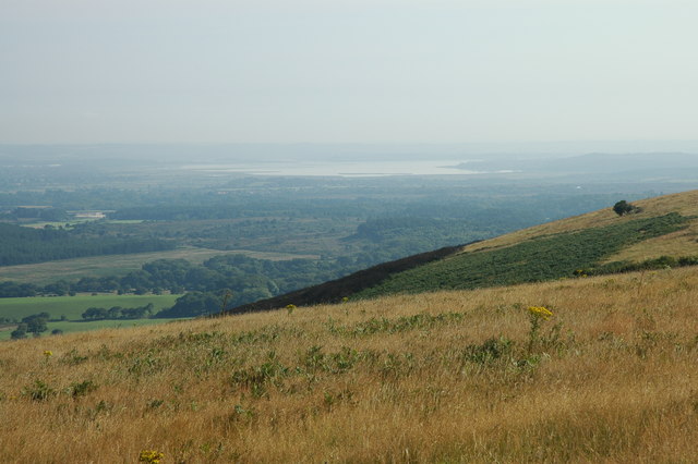
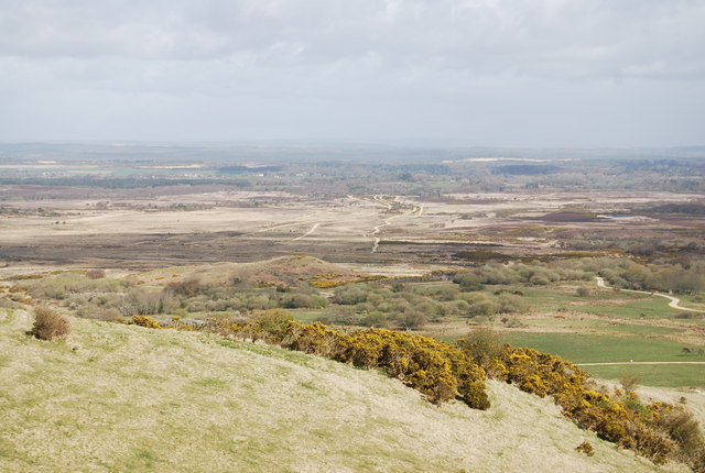
Pomfrey's Plantation Images

Images are sourced within 2km of 50.642976/-2.1404392 or Grid Reference SY9082. Thanks to Geograph Open Source API. All images are credited.

Ranges walk at West Creech Hill
Tyneham, sheep grazing
View towards Steeple
Road to Tyneham
Road to Tyneham
Road near Tyneham View
Povington Hill Looking towards Whiteway Hill, and in the distance, Portland
Povington Hill
Looking towards Whiteway Hill, and in the distance, Portland
Lookout post above Tyneham A lookout post on Povington Hill, looking out over Tyneham village.
Lookout post above Tyneham
A lookout post on Povington Hill, looking out over Tyneham village.
Range walk on West Creech Hill This grid square is within the MoD's Lulworth ranges and public access to this grid square is limited to the road (to the right), this path, and the lane that branches off to the ruined village of Tyneham. These routes are only open when the range is not firing (most weekends and holidays) and they are checked by the MoD to ensure that they are free from unexploded shells and debris.
Range walk on West Creech Hill
This grid square is within the MoD's Lulworth ranges and public access to this grid square is limited to the road (to the right), this path, and the lane that branches off to the ruined village of Tyneham. These routes are only open when the range is not firing (most weekends and holidays) and they are checked by the MoD to ensure that they are free from unexploded shells and debris.
Eastern end of the Lulworth range walk The cabin on the left houses an MoD sentry when the Lulworth tank ranges are closed to the public. It marks the eastern end of the range walk along the ridgeway. The small stone marker in the foreground on the right is a modern milestone. In the distance a red warning flag flies at the car park and picnic area, with Grange Hill beyond.
Eastern end of the Lulworth range walk
The cabin on the left houses an MoD sentry when the Lulworth tank ranges are closed to the public. It marks the eastern end of the range walk along the ridgeway. The small stone marker in the foreground on the right is a modern milestone. In the distance a red warning flag flies at the car park and picnic area, with Grange Hill beyond.
Clay Pit and West Creech Farm The image is taken from the viewpoint above West Creech Hill. The subject lies within the huge tank training range and is inaccessible to the public.
Clay Pit and West Creech Farm
The image is taken from the viewpoint above West Creech Hill. The subject lies within the huge tank training range and is inaccessible to the public.
On leaving Tyneham
On leaving Tyneham
The slopes of Povington Hill The expanse of water in the distance is Poole Harbour.
The slopes of Povington Hill
The expanse of water in the distance is Poole Harbour.
View over East Holme Ranges Tank ranges in Dorset.
View over East Holme Ranges
Tank ranges in Dorset.
Tank Ranges, East Holme
West Creech Clay Pit Clay pit in the Tertiary beds.
West Creech Clay Pit
Clay pit in the Tertiary beds.
Clay Pit West Creech clay pit in the Tertiary beds of Dorset.
Clay Pit
West Creech clay pit in the Tertiary beds of Dorset.
The road to Tyneham This road is closed most of the year as it is part of the Lulworth ranges.
The road to Tyneham
This road is closed most of the year as it is part of the Lulworth ranges.
Road along West Creech Hill
Show me another place!

Pomfrey's Plantation is located at Grid Ref: SY9082 (Lat: 50.642976, Lng: -2.1404392)

Unitary Authority: Dorset

Police Authority: Dorset

What 3 Words

///scooter.harp.birthing. Near Wareham, Dorset

Related Wikis

Creech Grange

Creech Grange is a country house in Steeple, south of Wareham in Dorset at the foot of the Purbeck Hills. Historic England designate it as a Grade I listed...

Grange Arch

Grange Arch, also known as Creech Folly, is an 18th-century folly that is located near the second highest point of the Purbeck Hills, Ridgeway Hill (199...

Ridgeway Hill

Ridgeway Hill, also referred to as Grange Hill or Steeple Hill, is the third highest point of the Purbeck Hills in the county of Dorset standing at 199...

Steeple, Dorset

Steeple is a hamlet and former civil parish, now in the civil parish of Steeple with Tyneham, in the Purbeck district of the English county of Dorset....

Purbeck Hills

The Purbeck Hills, also called the Purbeck Ridge or simply the Purbecks, are a ridge of chalk downs in Dorset, England. It is formed by the structure known...

Povington Hill

Povington Hill, at 198 metres (650 ft) high, is one of the highest points on the chain of the Purbeck Hills in south Dorset on the southern coast of England...

Lulworth Ranges

The Lulworth Ranges are military firing ranges located between Wareham and Lulworth in Dorset, England. They cover an area of more than 2,830 hectares...

Creech Barrow Hill

Creech Barrow Hill is a steep, conical hill, 193 metres (633 ft) (one source 637 feet) high, near the coast of Dorset, England, and the highest point of...

Nearby Amenities

Located within 500m of 50.642976,-2.1404392
CREECH1
Disused: yes
Man Made: petroleum_well
Ref GB Decc: L97/15-9
Source: DECC
Lat/Long: 50.6413889/-2.1408333
The data included in this document is from www.openstreetmap.org. The data is made available under ODbL.

Have you been to Pomfrey's Plantation?

Leave your review of Pomfrey's Plantation below (or comments, questions and feedback).