Baddox Wood
Wood, Forest in Northumberland
England
Baddox Wood

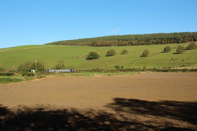
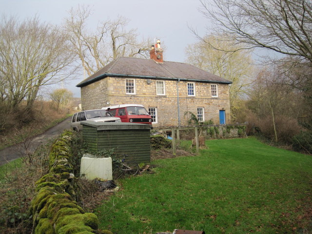
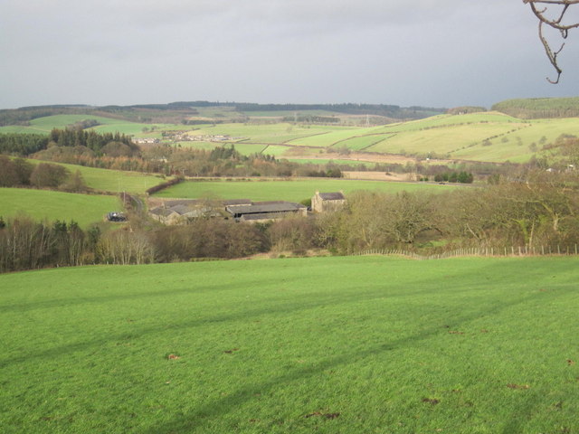
Baddox Wood is a charming woodland located in the county of Northumberland, England. Covering an area of approximately 100 acres, this ancient forest offers visitors an enchanting escape into nature. The wood is situated near the village of Baddox, within close proximity to the town of Hexham.
Baddox Wood is known for its diverse range of plant and animal species, making it a haven for wildlife enthusiasts and nature lovers alike. The forest is predominantly made up of deciduous trees such as oak, beech, and birch, which provide a stunning display of colors throughout the changing seasons. The woodland floor is adorned with a carpet of bluebells in the spring, creating a picturesque scene that attracts photographers and artists.
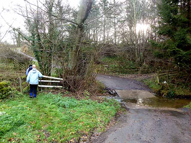
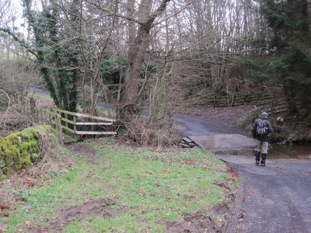
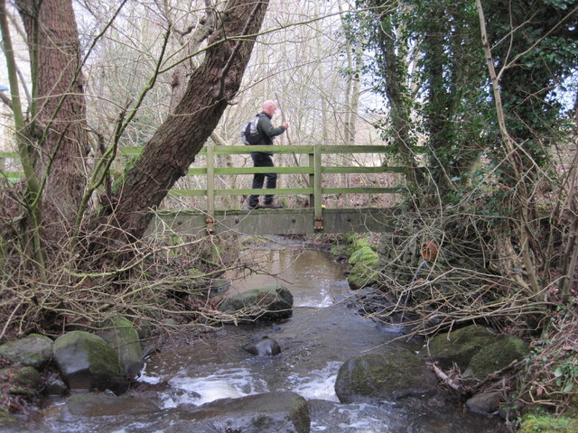
The wood is crisscrossed by a network of well-maintained walking trails, allowing visitors to explore the beauty of the forest at their own pace. These trails lead visitors through sun-dappled glades, across babbling brooks, and past ancient ruins, providing a sense of tranquility and serenity.
Baddox Wood is also home to a variety of wildlife, including deer, foxes, badgers, and a wide array of bird species. Birdwatchers will be delighted by the chance to spot woodpeckers, owls, and even the elusive red kite soaring above the tree canopy.
Visitors to Baddox Wood can enjoy a picnic in one of the designated areas, or simply find a quiet spot to relax and soak in the peaceful atmosphere. The wood is open year-round and offers a truly magical experience for anyone seeking solace in nature's embrace.
If you have any feedback on the listing, please let us know in the comments section below.
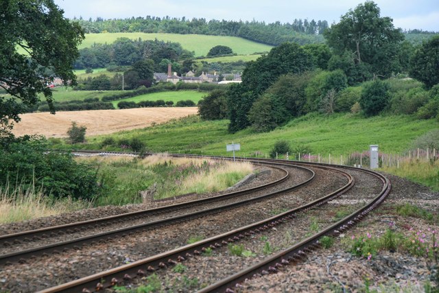
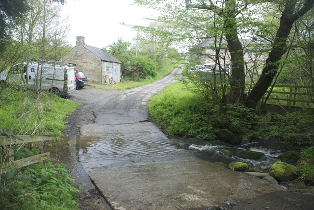
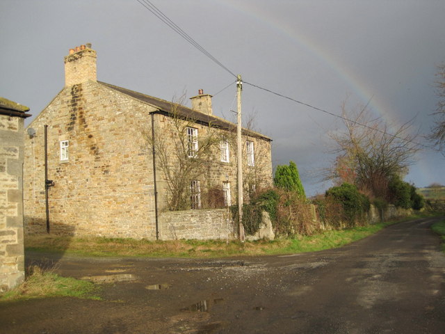
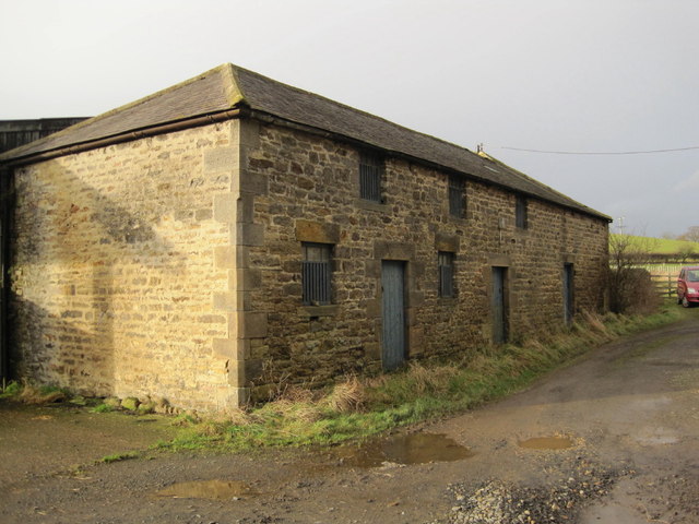
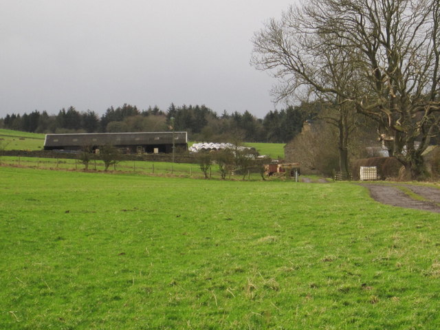
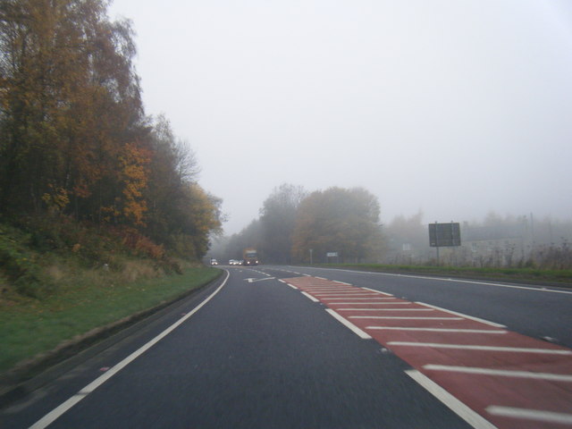
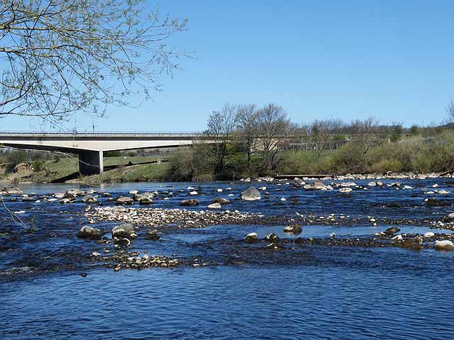
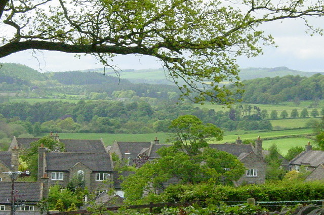
Baddox Wood Images
Images are sourced within 2km of 54.988347/-2.1562935 or Grid Reference NY9065. Thanks to Geograph Open Source API. All images are credited.


Baddox Wood is located at Grid Ref: NY9065 (Lat: 54.988347, Lng: -2.1562935)
Unitary Authority: Northumberland
Police Authority: Northumbria
What 3 Words
///plankton.applies.across. Near Warden, Northumberland
Nearby Locations
Related Wikis

Warden, Northumberland
Warden is a village in Northumberland, England about 2 miles (3 km) west of Hexham. The North and South Tyne meet near the village of Warden. There is...

Bridge End, Northumberland
Bridge End is a village in Northumberland, England. It is situated to the west of Hexham, on the north bank of the River South Tyne. The North and South...

Fourstones railway station
Fourstones is a former railway station which served the villages of Fourstones and Newbrough in Northumberland between 1837 and 1967 on the Tyne Valley...
Constantius Bridge
Constantius Bridge is a modern concrete bridge across the River Tyne about 1 mile (2 km) north west of Hexham, Northumberland, England. The bridge carries...

Wall railway station
Wall railway station served the village of Wall, Northumberland, England from 1858 to 1955 on the Border Counties Railway. == History == The station opened...

Hexham Old Bridge
Hexham Old Bridge was an 18th-century stone bridge across the River Tyne at Hexham, Northumberland, England. It was located about 1 mile (2 km) upstream...

Fourstones
Fourstones is a village in Northumberland, England. The village lies on the north bank of the River South Tyne about 4 miles (6 km) west of Hexham. �...
Acomb, Northumberland
Acomb is a village in the south of Northumberland, England. The population at the 2001 Census was 1,184 increasing to 1,268 at the 2011 Census. It is situated...
Nearby Amenities
Located within 500m of 54.988347,-2.1562935Have you been to Baddox Wood?
Leave your review of Baddox Wood below (or comments, questions and feedback).