Longcutters' Coppice

Wood, Forest in Dorset

England

Longcutters' Coppice

Grazing off the A35
Grazing off the A35 Credit: JThomas

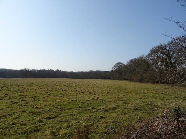
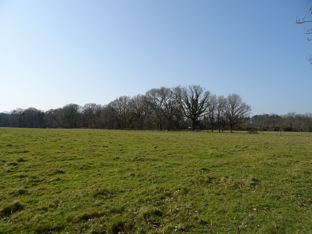
Longcutters' Coppice is a picturesque wood located in the county of Dorset, England. Situated near the village of Longburton, this ancient forest covers an area of approximately 40 acres and is a popular destination for nature enthusiasts and hikers alike.

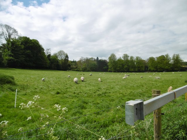
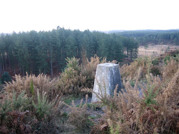
The coppice is characterized by its diverse range of trees, including oak, beech, hazel, and ash. These trees create a dense canopy that provides a haven for a variety of wildlife, including birds, small mammals, and insects. The forest floor is adorned with an array of wildflowers, adding to its natural beauty.

The wood has a rich history, dating back centuries. It was traditionally managed as a coppice, a method of woodland management where trees are cut at regular intervals to promote new growth. This practice was essential for providing timber and firewood to local communities.

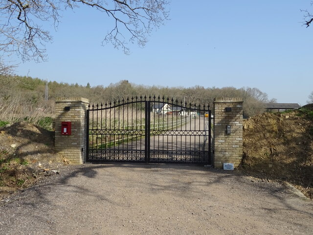
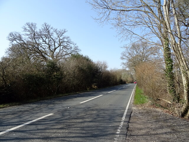
Visitors to Longcutters' Coppice can explore the numerous walking trails that wind through the woodland. These trails offer breathtaking views of the surrounding countryside and provide an opportunity to immerse oneself in nature. The forest is also home to a number of well-preserved ancient pathways, which add a sense of intrigue and historical significance to the area.

Longcutters' Coppice is a designated Site of Special Scientific Interest (SSSI), highlighting its importance for conservation and biodiversity. The wood is carefully managed by local authorities and conservation organizations to protect its unique ecosystem and preserve its natural beauty for future generations to enjoy.

Overall, Longcutters' Coppice is a hidden gem in Dorset, offering a tranquil and enchanting escape into nature. Whether it's for a leisurely stroll, wildlife spotting, or simply to appreciate the beauty of an ancient woodland, this forest is a must-visit destination.

If you have any feedback on the listing, please let us know in the comments section below.

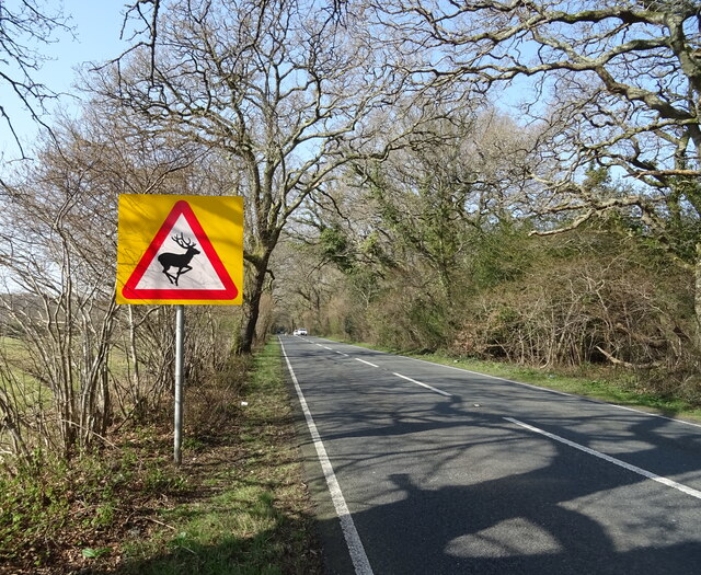
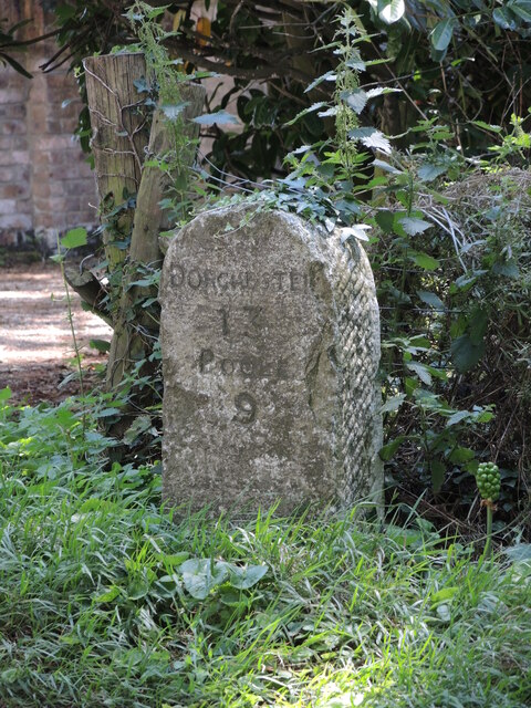
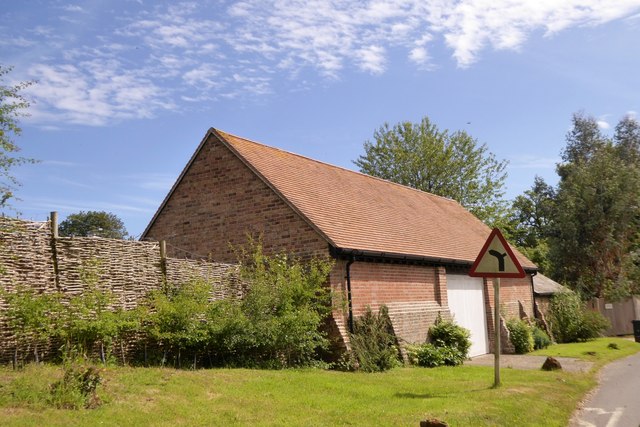
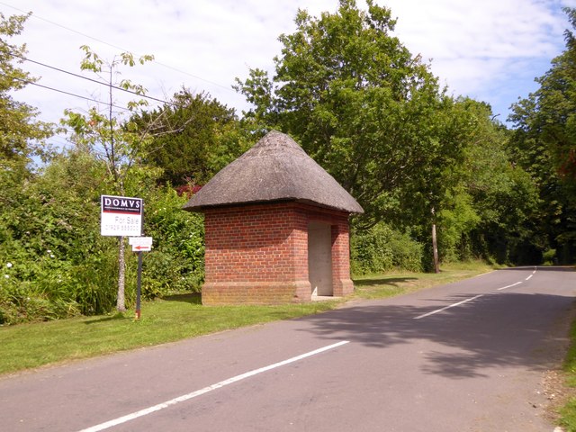
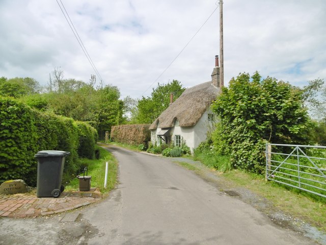
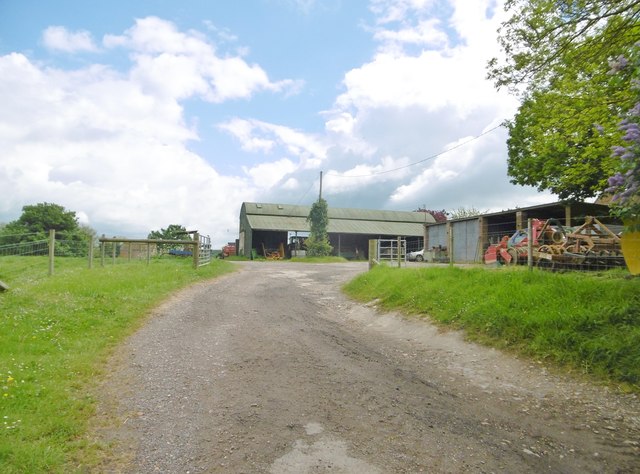
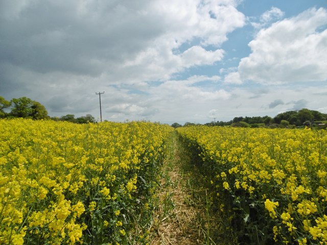
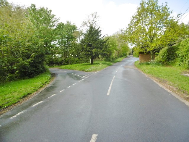
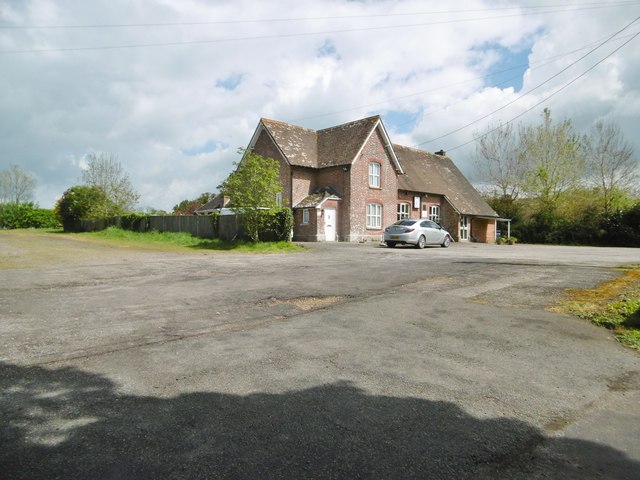
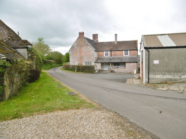
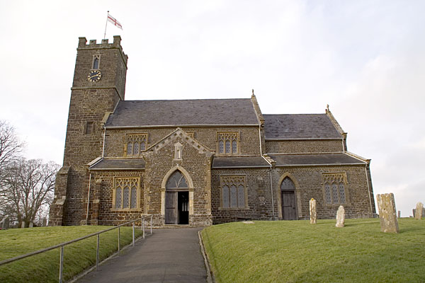
Longcutters' Coppice Images

Images are sourced within 2km of 50.747982/-2.142653 or Grid Reference SY9094. Thanks to Geograph Open Source API. All images are credited.

Grazing off the A35
Grazing off the A35
Gated drive to Snailsbreach Farm
A35 towards Dorchester
Grazing off the A35
Grazing off the A35
A35 towards Dorchester
Bloxworth milestone Standing right on the A35, this milestone measures Dorchester at 13 miles, Poole at 9.
Bloxworth milestone
Standing right on the A35, this milestone measures Dorchester at 13 miles, Poole at 9.
Barn on the north of Bloxworth
Thatched bus shelter in Bloxworth
Bloxworth, thatched cottage On the short lane leading to the entrance to Bloxworth House.
Bloxworth, thatched cottage
On the short lane leading to the entrance to Bloxworth House.
Bloxworth, Bullards Farm
Bloxworth, rape field With footpath through the field to East Bloxworth.
Bloxworth, rape field
With footpath through the field to East Bloxworth.
Bloxworth, crossroads Coming from East Bloxworth; left, to A35; ahead, to the church; right (out of sight), to the Winterbornes.
Bloxworth, crossroads
Coming from East Bloxworth; left, to A35; ahead, to the church; right (out of sight), to the Winterbornes.
Bloxworth, club Bloxworth Village Club & Memorial Hall. The building was once the village school. <span class="nowrap"><a title="http://www.bloxworthclub.com/" rel="nofollow ugc noopener" href="http://www.bloxworthclub.com/">Link</a><img style="margin-left:2px;" alt="External link" title="External link - shift click to open in new window" src="https://s1.geograph.org.uk/img/external.png" width="10" height="10"/></span>
Bloxworth, club
Bloxworth Village Club & Memorial Hall. The building was once the village school. LinkExternal link
Bloxworth, farm entrance Entrance road and bridleway to Bullards Farm.
Bloxworth, farm entrance
Entrance road and bridleway to Bullards Farm.
Bloxworth, sheep grazing At Butlands Farm.
Bloxworth, sheep grazing
At Butlands Farm.
Bloxworth, footpath Along a fence towards the village, from East Bloxworth.
Bloxworth, footpath
Along a fence towards the village, from East Bloxworth.
East Bloxworth, Manor Farmhouse Judging from the farmyard, timber is an important part of the business.
East Bloxworth, Manor Farmhouse
Judging from the farmyard, timber is an important part of the business.
East Bloxworth, bluebells On the verge on the lane to the crossroads.
East Bloxworth, bluebells
On the verge on the lane to the crossroads.
Show me another place!

Longcutters' Coppice is located at Grid Ref: SY9094 (Lat: 50.747982, Lng: -2.142653)

Unitary Authority: Dorset

Police Authority: Dorset

What 3 Words

///croak.mild.tilts. Near Lytchett Matravers, Dorset

Related Wikis

Loosebarrow Hundred

Loosebarrow Hundred was a hundred in the county of Dorset, England, containing the following parishes: Almer Morden Spetisbury == See also == List of...

Morden, Dorset

Morden (otherwise Moreden) is a civil parish in the Purbeck district of south Dorset, England. Morden is about 6 miles (10 km) north-west of Poole. At...

Bloxworth

Bloxworth is a village and civil parish in the English county of Dorset, within Wareham Forest on the A35 road 5 miles (8 km) west of Poole. In the 2011...

Woolsbarrow Hillfort

Woolsbarrow Hillfort is a hillfort on Bloxworth Heath in the district of Purbeck in the county of Dorset, England. It dates to the period from the Late...

Nearby Amenities

Located within 500m of 50.747982,-2.142653
Material: wood
Power: pole
Source: bing
Lat/Long: 50.7446241/-2.1425626
Material: wood
Power: pole
Source: bing
Lat/Long: 50.745243/-2.1394019
Material: wood
Power: pole
Source: bing
Lat/Long: 50.7457756/-2.1371319
Material: wood
Power: pole
Ref: 18
Source: bing
Source Ref: interpolation
Lat/Long: 50.7481043/-2.136688
Material: wood
Power: pole
Ref: 17
Source: bing
Source Ref: interpolation
Lat/Long: 50.7482275/-2.1368238
Material: wood
Power: pole
Ref: 19
Source: bing
Source Ref: interpolation
Lat/Long: 50.7485822/-2.1387351
Material: wood
Power: pole
Ref: 18
Source: bing
Source Ref: interpolation
Lat/Long: 50.7486685/-2.1386641
Material: wood
Poles: bipole
Power: pole
Ref: 20
Source: survey
Source Ref: survey
Lat/Long: 50.7491335/-2.1404402
Material: wood
Poles: bipole
Power: pole
Ref: 19
Source: survey
Source Ref: survey
Lat/Long: 50.7492537/-2.1404618
Material: wood
Power: pole
Ref: 21
Source: bing
Source Ref: interpolation
Lat/Long: 50.749913/-2.1435969
Material: wood
Power: pole
Ref: 20
Source: bing
Source Ref: interpolation
Lat/Long: 50.7499708/-2.1434166
Material: wood
Power: pole
Ref: 23
Source: bing
Source Ref: interpolation
Lat/Long: 50.7507831/-2.1472736
Material: wood
Power: pole
Ref: 22
Source: bing
Source Ref: interpolation
Lat/Long: 50.7509096/-2.1472682
Power: pole
Ref: 22
Source: bing
Source Ref: interpolation
Lat/Long: 50.7503593/-2.1454373
Power: pole
Ref: 21
Source: bing
Source Ref: interpolation
Lat/Long: 50.7504306/-2.1453247
Marker: post
Phone: +44 800 2940078
Ref: PO034SY901943PO150
Source: survey
Utility: gas
Lat/Long: 50.7485434/-2.1404323
Marker: post
Note: C.P. No. MORD
Size: 24"
Source: survey
Utility: gas
Lat/Long: 50.7485341/-2.1404296
Marker: pole
Operator: Southern Gas Networks
Phone: +44 800 2940078
Source: survey
Utility: gas
Lat/Long: 50.7485205/-2.1404336
Marker: post
Note: HP GAS PIPELINE IN THE VICINITY
Phone: +44 800 2940078
Ref: TR GROUNDBED
Utility: gas
Lat/Long: 50.7495036/-2.1403947
Note: Transformer Rectifier
Operator: Southern Gas Networks
Phone: +44 800 2940078
Power: transformer
Ref: BLOXWORTH TR
Voltage Primary: 230
Lat/Long: 50.7495169/-2.1403723
Note: J1
Power: pole
Ref: 817948
Source: survey
Lat/Long: 50.7495097/-2.1403917
Fire Hydrant
Emergency: fire_hydrant
Fire Hydrant Diameter: 150
Fire Hydrant Type: underground
Ref: 12232
Source: survey
Lat/Long: 50.747753/-2.144382
Fire Hydrant
Emergency: fire_hydrant
Fire Hydrant Diameter: 4 inch
Fire Hydrant Type: underground
Ref: 7489
Lat/Long: 50.750543/-2.140105
Booth: K6
Covered: booth
Historic Operator: BT OpenReach
Man Made: telephone_box
Ref GB Uprn: 10024743371
Removed Amenity: telephone
Lat/Long: 50.7505481/-2.1402264
Camera Direction: 45
Camera Mount: wall
Camera Type: fixed
Height: 6
Man Made: surveillance
Surveillance: public
Surveillance Type: camera
Lat/Long: 50.7504104/-2.1404571
Camera Direction: 106
Camera Mount: wall
Camera Type: fixed
Height: 6
Man Made: surveillance
Surveillance: public
Surveillance Type: camera
Lat/Long: 50.750527/-2.1404962
The data included in this document is from www.openstreetmap.org. The data is made available under ODbL.

Have you been to Longcutters' Coppice?

Leave your review of Longcutters' Coppice below (or comments, questions and feedback).