Higharcal Wood
Wood, Forest in Staffordshire South Staffordshire
England
Higharcal Wood

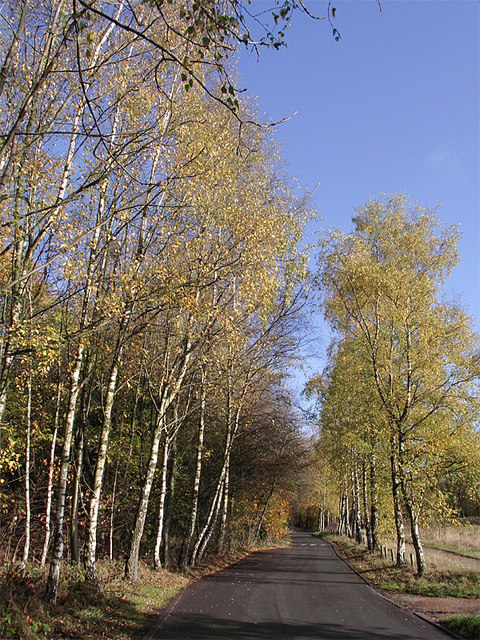
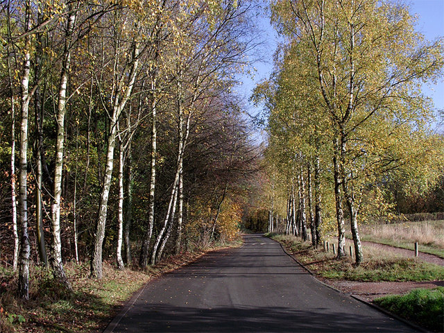
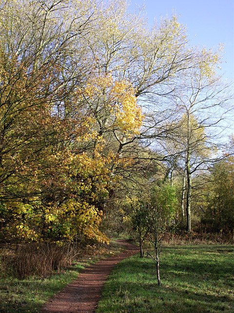
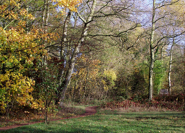
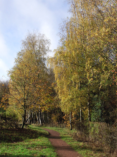
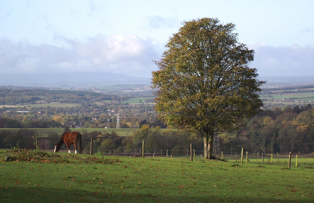
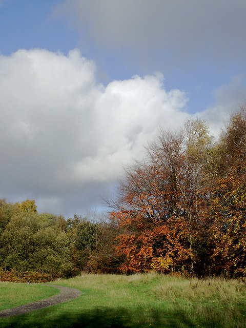
Higharcal Wood is a picturesque forest located in the county of Staffordshire, England. Covering an area of approximately 100 hectares, the wood is situated near the village of Higharcal, just a few miles east of Stafford. It is surrounded by rolling hills and offers stunning views of the surrounding countryside.
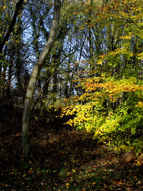
The wood is predominantly made up of broad-leaved trees, including oak, beech, and birch, which create a dense canopy, providing shelter for an array of wildlife. The forest floor is covered in a thick layer of leaf litter, creating a rich habitat for a variety of plant species, such as bluebells and foxgloves, which bloom in abundance during the spring months.
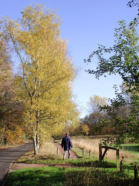
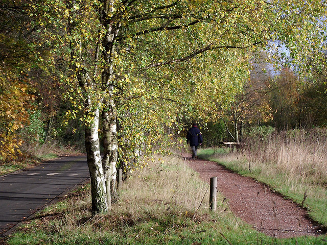
Higharcal Wood is a popular destination for nature enthusiasts, walkers, and photographers, thanks to its tranquil atmosphere and natural beauty. A network of well-maintained footpaths crisscrosses the wood, allowing visitors to explore its diverse flora and fauna. The wood is also home to a number of bird species, including woodpeckers, owls, and various songbirds, making it a haven for birdwatchers.
In addition to its natural attractions, Higharcal Wood offers recreational facilities for visitors. There is a designated picnic area with benches and tables, providing a perfect spot for families and friends to enjoy a leisurely lunch surrounded by nature. The wood is also equipped with a small car park, ensuring convenient access for those arriving by car.
Overall, Higharcal Wood is a delightful and tranquil forest that offers a wonderful escape from the hustle and bustle of everyday life. Its diverse ecosystem, beautiful scenery, and recreational amenities make it a must-visit destination for nature lovers and outdoor enthusiasts alike.
If you have any feedback on the listing, please let us know in the comments section below.
Higharcal Wood Images
Images are sourced within 2km of 52.520345/-2.1525936 or Grid Reference SO8991. Thanks to Geograph Open Source API. All images are credited.


Higharcal Wood is located at Grid Ref: SO8991 (Lat: 52.520345, Lng: -2.1525936)
Administrative County: Staffordshire
District: South Staffordshire
Police Authority: Staffordshire
What 3 Words
///alarm.gangs.grand. Near Wombourn, Staffordshire
Nearby Locations
Related Wikis
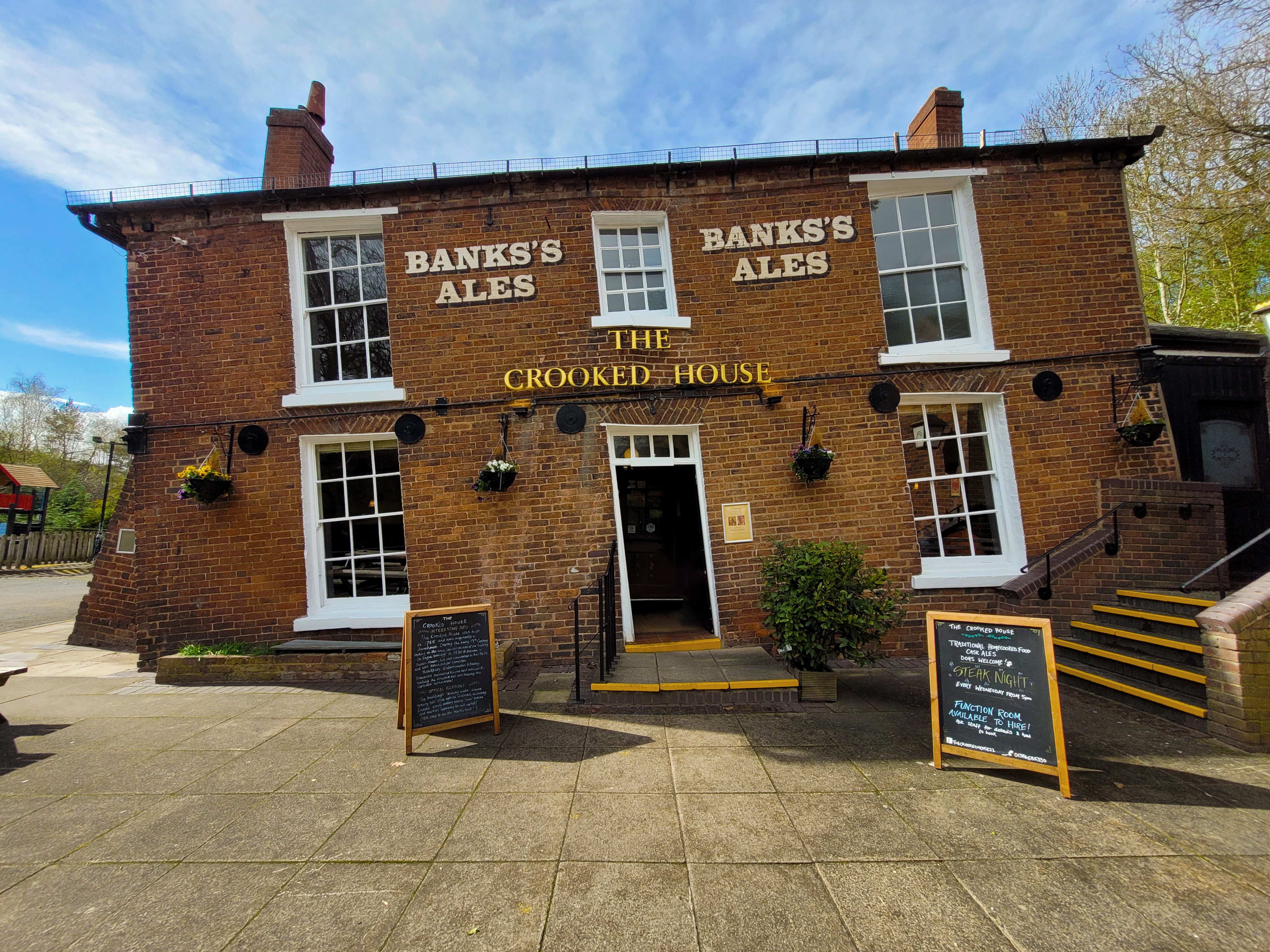
The Crooked House
The Crooked House was a pub in South Staffordshire, England. Its name and distinctive appearance were the result of 19th-century mining subsidence which...
Straits Estate
Straits Estate is a housing estate located near Sedgley, West Midlands, England, to the north-west of Gornal Ward, and was built for homeowners during...

Gornal Halt railway station
Gornal Halt was a small railway stop on the Wombourne Branch Line. It was opened by the Great Western Railway in 1925 and closed in 1932. The halt served...

Baggeridge Colliery
Baggeridge Colliery was a colliery located in Sedgley, West Midlands England. == Colliery History == The Baggeridge Colliery was an enterprise of the Earls...
Nearby Amenities
Located within 500m of 52.520345,-2.1525936Have you been to Higharcal Wood?
Leave your review of Higharcal Wood below (or comments, questions and feedback).