Narrow Wood

Wood, Forest in Worcestershire Wychavon

England

Narrow Wood

Approaching the crossroads
Approaching the crossroads Credit: Peter Whatley

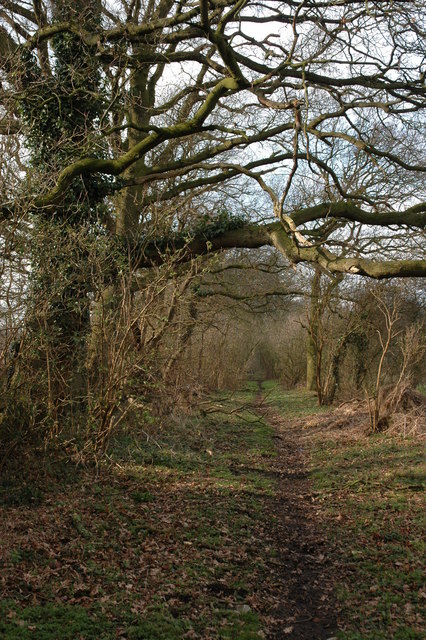
Narrow Wood is a small woodland located in Worcestershire, England. Situated within the larger expanse of the Wyre Forest, Narrow Wood is a charming and tranquil area that offers a peaceful escape from the hustle and bustle of everyday life.

Covering an area of approximately 50 acres, Narrow Wood is predominantly made up of dense deciduous trees, including oak, beech, and birch. These trees provide a beautiful canopy that filters sunlight and creates a dappled effect on the forest floor. The woodland is also home to a variety of wildlife, such as deer, foxes, and a wide range of bird species, making it a popular spot for nature enthusiasts and birdwatchers.

A network of well-maintained footpaths winds its way through Narrow Wood, allowing visitors to explore the area at their leisure. The paths are suitable for both walking and cycling, making it an ideal destination for outdoor activities. Along the way, visitors may come across picturesque streams and small ponds, adding to the natural beauty of the woodland.

While Narrow Wood is primarily a natural area, there are also a few man-made features within its boundaries. These include a small picnic area with benches and tables, providing a perfect spot for visitors to relax and enjoy a packed lunch amidst the peaceful surroundings. Additionally, there is a small car park near the entrance, making it easily accessible for those arriving by car.

Overall, Narrow Wood is a delightful woodland retreat that offers a serene escape for both nature lovers and outdoor enthusiasts alike. With its beautiful scenery, diverse wildlife, and well-maintained paths, it is a must-visit destination for anyone seeking tranquility in the heart of Worcestershire.

If you have any feedback on the listing, please let us know in the comments section below.
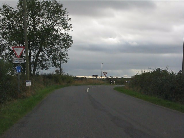
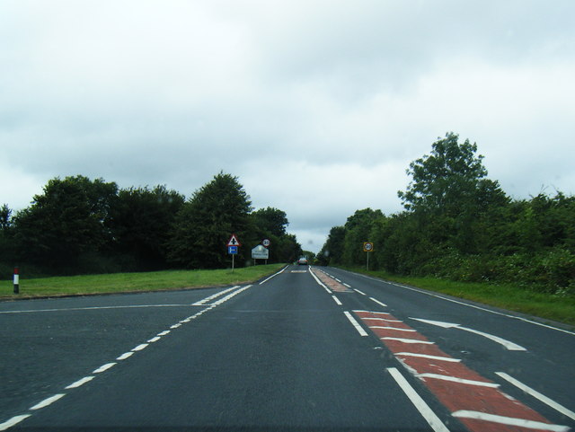
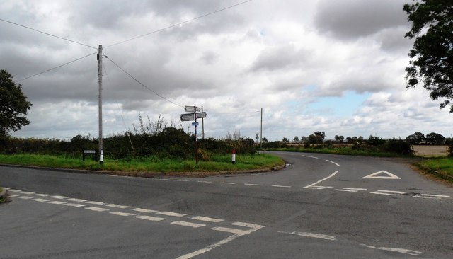
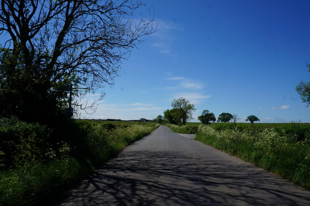
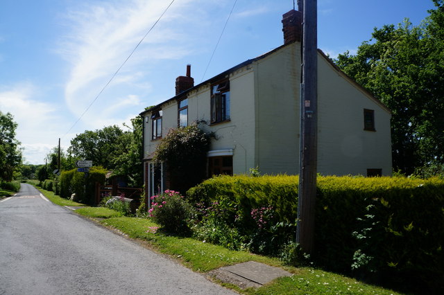
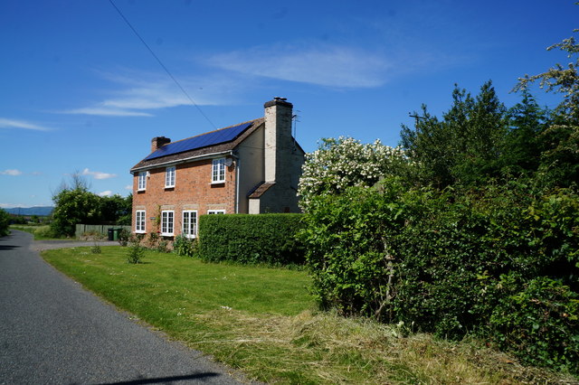
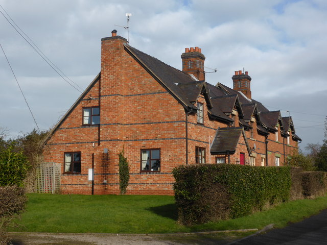
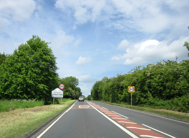
Narrow Wood Images

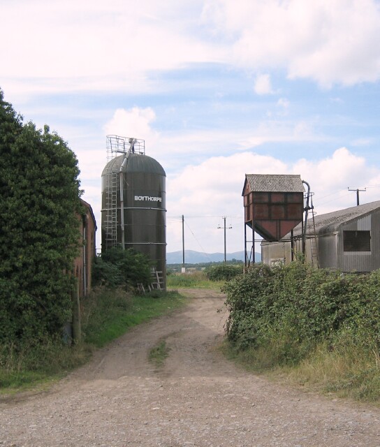
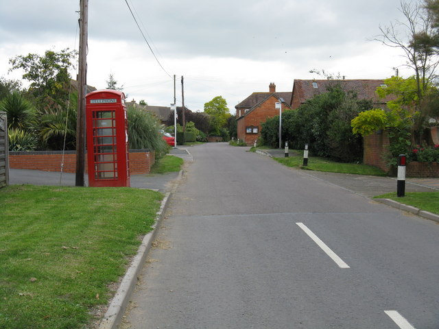
Images are sourced within 2km of 52.128671/-2.151352 or Grid Reference SO8947. Thanks to Geograph Open Source API. All images are credited.

Approaching the crossroads
B4084 approaching Stoulton village boundary
Crossroads near Wadborough
Half a signpost for a footpath off Rebecca Road The footpath crosses a field on the left.  An aerial view shows little sign of it being used, and an older map shows that the field was once wooded, so the path was a route through the woodland.
Half a signpost for a footpath off Rebecca Road
The footpath crosses a field on the left. An aerial view shows little sign of it being used, and an older map shows that the field was once wooded, so the path was a route through the woodland.
Rebecca Road and Croome Perry Wood
Wadborough Road near Stoulton
Houses on Station Road, Wadborough
Perry Wood End near Pirton Siding
Rebecca Road at Ladywood Road
Cottages near Wadborough
Stoulton Village Sign
Wadborough Viewed from the south.
Wadborough
Viewed from the south.
New Farm, Besford Looking north from the Pershore - Croome road towards New Farm
New Farm, Besford
Looking north from the Pershore - Croome road towards New Farm
Wadborough Farm Wadborough Farm, on the Wadborough to Stoulton road, looking south
Wadborough Farm
Wadborough Farm, on the Wadborough to Stoulton road, looking south
Wadborough Farm Buildings Farm buildings at Wadborough looking west to the Malvern Hills
Wadborough Farm Buildings
Farm buildings at Wadborough looking west to the Malvern Hills
Caldewell Caldewell House and parkland from the Pershore - Worcester road, looking south-west towards the Malverns.
Caldewell
Caldewell House and parkland from the Pershore - Worcester road, looking south-west towards the Malverns.
Bridleway to Croome Perry Wood
An old Morris Minor This old Morris Minor is rusting away behind some farm buildings beside a bridleway near Wadborough.
An old Morris Minor
This old Morris Minor is rusting away behind some farm buildings beside a bridleway near Wadborough.
Show me another place!

Narrow Wood is located at Grid Ref: SO8947 (Lat: 52.128671, Lng: -2.151352)

Administrative County: Worcestershire

District: Wychavon

Police Authority: West Mercia

What 3 Words

///blesses.toads.stitch. Near Kempsey, Worcestershire

Nearby Locations

Narrow Wood

Related Wikis

Wadborough railway station

Wadborough railway station was located in Wadborough, Worcestershire. It opened in 1841 and closed in January 1965. It was situated to the west on the...

Kempsey railway station (Worcestershire)

Kempsey railway station, also known as Pirton railway station, served the village of Kempsey, Worcestershire, England, from 1841 to 1844 on the Birmingham...

Pirton railway station

Pirton railway station, also known as Kempsey railway station, served the village of Pirton, Worcestershire, England, from 1841 to 1844 on the Birmingham...

Wadborough

Wadborough is a small village 2 miles outside Pershore and 7 miles from Worcester. The village is in Worcestershire, England. The village is an old farming...

Nearby Amenities

Located within 500m of 52.128671,-2.151352
Wadborough
Railway: level_crossing
Lat/Long: 52.1299621/-2.1559048
Bus Stop
Telephone Box
Bus: yes
Naptan AtcoCode: 2000G064300
Naptan Bearing: NE
Naptan CommonName: Telephone Box
Naptan Indicator: adj
Naptan Landmark: Telephone Box
Naptan NaptanCode: wocdjpdm
Naptan Street: Village Centre
Naptan Verified: no
Public Transport: platform
Source: naptan_import
Lat/Long: 52.1262693/-2.1456382
Bus Stop
Telephone Box
Bus: yes
Naptan AtcoCode: 2000G064399
Naptan Bearing: E
Naptan CommonName: Telephone Box
Naptan Indicator: opp
Naptan Landmark: Telephone Box
Naptan NaptanCode: wocdjpdp
Naptan Street: Village Centre
Naptan Verified: no
Public Transport: platform
Source: naptan_import
Lat/Long: 52.1262336/-2.1454336
Post Box
Collection Times: Mo-Fr 17:00; Sa 08:30
Post Box Type: lamp
Ref: WR8 81
Royal Cypher: EIIR
Royal Cypher Wikidata: Q33102113
Source: GPS Survey
Lat/Long: 52.1270809/-2.147787
Pub
The Masons Arms
Lat/Long: 52.1270716/-2.1478732
Telephone
Booth: K6
Covered: booth
Man Made: telephone_box
Old Phone: +44 1905 840490
Lat/Long: 52.125949/-2.1463332
Wadborough
Abandoned Railway: station
Railway: site
Lat/Long: 52.1306655/-2.1562036
Crossing: uncontrolled
Railway: crossing
Lat/Long: 52.1272351/-2.1545562
Crossing: uncontrolled
Railway: crossing
Lat/Long: 52.1272456/-2.1545103
Passing Place
Lat/Long: 52.1311844/-2.1572627
Wadborough
Railway: level_crossing
Lat/Long: 52.129946/-2.1558457
Barrier: stile
Foot: yes
Lat/Long: 52.1291583/-2.14764
Barrier: stile
Foot: yes
Lat/Long: 52.1295782/-2.1494249
Barrier: stile
Foot: yes
Lat/Long: 52.1290214/-2.1501841
Barrier: stile
Foot: yes
Lat/Long: 52.128753/-2.1470517
Barrier: stile
Foot: yes
Lat/Long: 52.1281254/-2.1484111
Barrier: stile
Foot: yes
Lat/Long: 52.1286516/-2.1487269
Barrier: stile
Foot: yes
Lat/Long: 52.1272699/-2.1544129
Barrier: stile
Foot: yes
Lat/Long: 52.1308206/-2.1570576
Barrier: stile
Foot: yes
Lat/Long: 52.1275305/-2.1580171
Barrier: stile
Foot: yes
Lat/Long: 52.1272097/-2.1546447
Wadborough
Place: hamlet
Lat/Long: 52.1261226/-2.146497
Historic: milestone
Inscription: To Worcester Cross 6 Miles
Lat/Long: 52.1290864/-2.1512074
Passing Place
Lat/Long: 52.1305392/-2.1566945
Power: pole
Lat/Long: 52.1301249/-2.1462478
Wadborough West
Power: pole
Transformer: distribution
Voltage Primary: 11000
Lat/Long: 52.1266899/-2.1465679
Wadborough
Power: pole
Transformer: distribution
Voltage Primary: 11000
Lat/Long: 52.1269324/-2.1455795
Power: pole
Lat/Long: 52.1276125/-2.1447118
Power: pole
Lat/Long: 52.1288167/-2.1447218
Power: pole
Lat/Long: 52.1294443/-2.1454266
Wadborough Hall - Trans
Power: pole
Transformer: distribution
Voltage Primary: 11000
Lat/Long: 52.129816/-2.1459053
Wadborough Farm
Power: pole
Transformer: distribution
Voltage Primary: 11000
Lat/Long: 52.1304709/-2.1466644
Power: pole
Lat/Long: 52.1315181/-2.1468455
Wadborough Station
Power: pole
Transformer: distribution
Voltage Primary: 11000
Lat/Long: 52.1294451/-2.1537495
Power: pole
Lat/Long: 52.1298131/-2.1524915
Power: pole
Lat/Long: 52.1301622/-2.1513194
Power: pole
Lat/Long: 52.1305219/-2.1501285
Power: pole
Lat/Long: 52.1309492/-2.1486922
Power: pole
Lat/Long: 52.1313271/-2.1474322
Power: pole
Lat/Long: 52.1322125/-2.1482342
The data included in this document is from www.openstreetmap.org. The data is made available under ODbL.

Have you been to Narrow Wood?

Leave your review of Narrow Wood below (or comments, questions and feedback).