Priors Copse

Wood, Forest in Wiltshire

England

Priors Copse

Modern Milestone, Chippenham Without Opposite a petrol station on the A420, Bristol Road. 
This is a replacement for the old milestone
see <a href="https://www.geograph.org.uk/photo/6072414">ST8974 : Old Milestone by the A420, Bristol Road, west of Chippenham</a> sometime between April 2021 & October 2021.

Inscription: 7 Miles / To / Marshfield / 2 miles / To / Chippenham

Milestone Society National ID: WI_CPMF02 R
Modern Milestone, Chippenham Without Credit: Mr Red

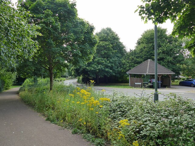
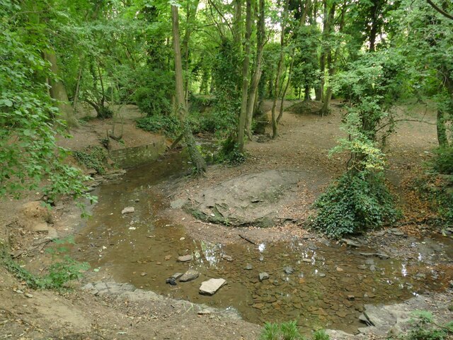
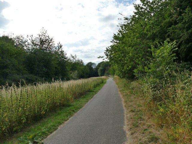
Priors Copse is a picturesque wood located in the county of Wiltshire, England. Covering an area of approximately 50 acres, it is renowned for its natural beauty and diverse range of flora and fauna. The wood is situated on the outskirts of the historic market town of Marlborough, offering a tranquil escape from the hustle and bustle of urban life.

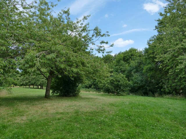
The dense woodland of Priors Copse is characterized by a mixture of deciduous and coniferous trees, including oak, beech, ash, and pine. These towering trees create a canopy that provides shade and shelter for a variety of wildlife species. Visitors to the wood can expect to encounter a plethora of birds, such as woodpeckers, nuthatches, and various songbirds, adding to the enchanting ambiance.

The forest floor of Priors Copse is adorned with a carpet of wildflowers, including bluebells, primroses, and foxgloves, creating a vibrant display throughout the spring and summer months. The wood is also home to a number of small mammals, including badgers, foxes, and squirrels, which can often be spotted scurrying amongst the undergrowth.

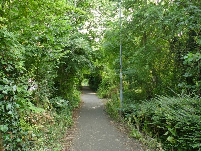
Priors Copse offers several walking trails, allowing visitors to explore the wood at their own leisure. The paths wind through the ancient woodland, revealing hidden clearings and peaceful groves. The wood also features a small picnic area, where visitors can relax and enjoy the serenity of their surroundings.

Overall, Priors Copse is a captivating woodland, rich in biodiversity and natural beauty. Whether it be for a leisurely stroll, bird-watching, or simply escaping into nature, this wood provides a haven for nature enthusiasts and offers a welcome respite from the outside world.

If you have any feedback on the listing, please let us know in the comments section below.
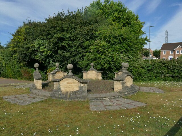
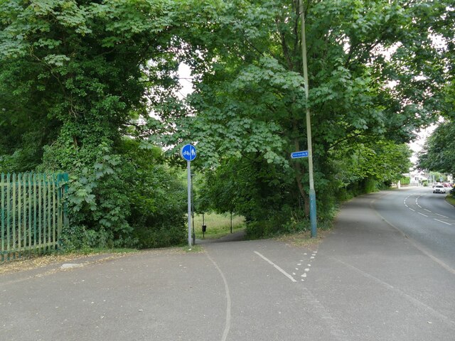
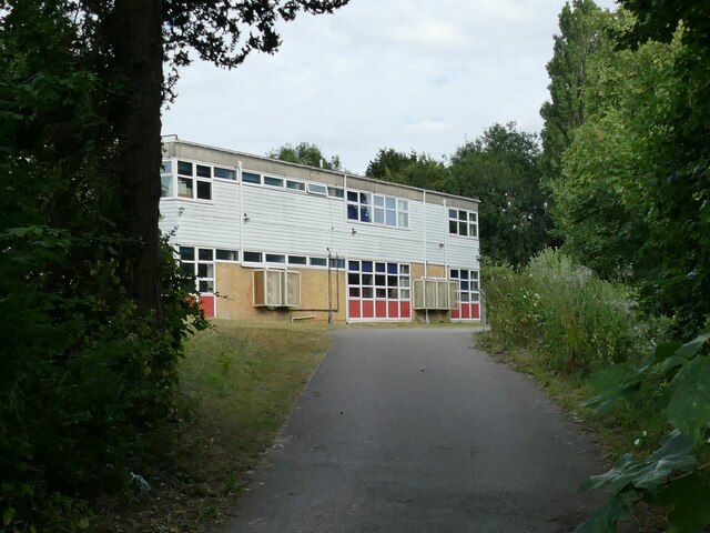
Priors Copse Images

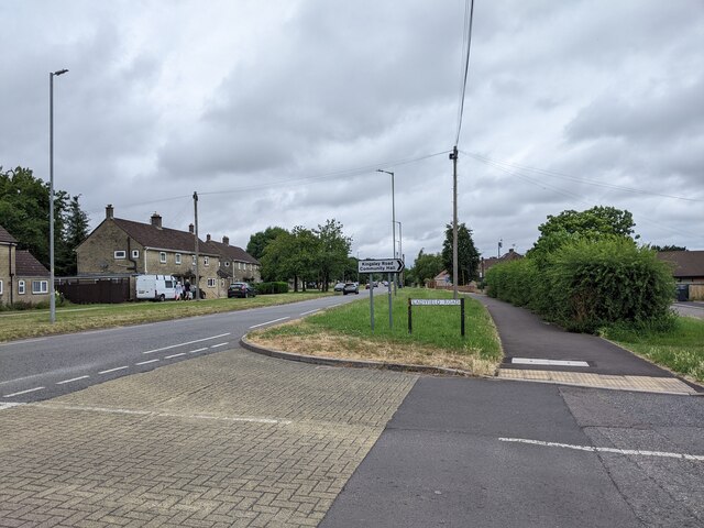
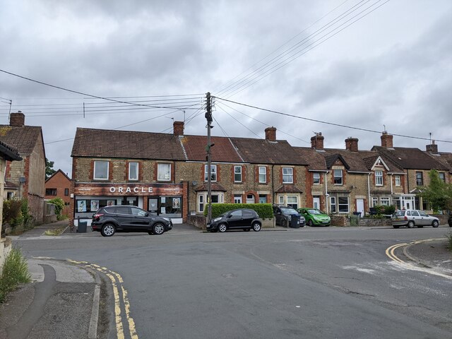
Images are sourced within 2km of 51.460166/-2.1545962 or Grid Reference ST8973. Thanks to Geograph Open Source API. All images are credited.

Modern Milestone, Chippenham Without Opposite a petrol station on the A420, Bristol Road. 
This is a replacement for the old milestone
see <a href="https://www.geograph.org.uk/photo/6072414">ST8974 : Old Milestone by the A420, Bristol Road, west of Chippenham</a> sometime between April 2021 & October 2021.

Inscription: 7 Miles / To / Marshfield / 2 miles / To / Chippenham

Milestone Society National ID: WI_CPMF02 R
Modern Milestone, Chippenham Without
Opposite a petrol station on the A420, Bristol Road. This is a replacement for the old milestone see ST8974 : Old Milestone by the A420, Bristol Road, west of Chippenham sometime between April 2021 & October 2021. Inscription: 7 Miles / To / Marshfield / 2 miles / To / Chippenham Milestone Society National ID: WI_CPMF02 R
Old Guide Stone by the A420, Bristol Road, Lanhill Marshfield iron plate by the A420, in parish of Chippenham Without (North Wiltshire District), Bristol Road, Lanhill at junction with the B4039, on wide grass verge within apex of junction, now near The Long Stone - probably moved when the junction was changed. An earlier photograph can be found here <a title="https://www.geograph.org.uk/photo/6094709" href="https://www.geograph.org.uk/photo/6094709">Link</a>.

Inscription reads:-
: {<-hand} TO MARSHFIELD AND BRISTOL.: : TO {HAND->} / CHIPPENHAM : : {<-HAND} TO / CHIPPENHAM : : TO YATTON KEYNELL, CRITTLETON. / BADMINTON AND SODBURY. {hand->} 
Carved bench mark and rivet on top of raised section.

Grade II listed.
List Entry Number: 1283421 <span class="nowrap"><a title="https://historicengland.org.uk/listing/the-list/list-entry/1283421" rel="nofollow ugc noopener" href="https://historicengland.org.uk/listing/the-list/list-entry/1283421">Link</a><img style="margin-left:2px;" alt="External link" title="External link - shift click to open in new window" src="https://s1.geograph.org.uk/img/external.png" width="10" height="10"/></span>

Milestone Society National ID: WI_CPMF02S
Old Guide Stone by the A420, Bristol Road, Lanhill
Marshfield iron plate by the A420, in parish of Chippenham Without (North Wiltshire District), Bristol Road, Lanhill at junction with the B4039, on wide grass verge within apex of junction, now near The Long Stone - probably moved when the junction was changed. An earlier photograph can be found here Link. Inscription reads:- : {<-hand} TO MARSHFIELD AND BRISTOL.: : TO {HAND->} / CHIPPENHAM : : {<-HAND} TO / CHIPPENHAM : : TO YATTON KEYNELL, CRITTLETON. / BADMINTON AND SODBURY. {hand->} Carved bench mark and rivet on top of raised section. Grade II listed. List Entry Number: 1283421 LinkExternal link Milestone Society National ID: WI_CPMF02S
Electricity near Chippenham
Unused picnic shelter, Allington Farm Shop Unsurprising on a bitterly cold January lunchtime
Unused picnic shelter, Allington Farm Shop
Unsurprising on a bitterly cold January lunchtime
Stainers Way with cycle path A segregated cycle path runs right through this housing estate, sometimes next to Stainers Way, sometimes diverging from it.
Stainers Way with cycle path
A segregated cycle path runs right through this housing estate, sometimes next to Stainers Way, sometimes diverging from it.
Open space off Stainers Way  When this housing estate at Hardenhuish was built, a generous amount of green space was left between areas of housing.
Open space off Stainers Way
When this housing estate at Hardenhuish was built, a generous amount of green space was left between areas of housing.
Playground by Stainers Way
Link path off Stainers Way  This short, straight section of footpath connects the housing estate to a longer foot and cycle path that runs for 1.3km alongside the Hardenhuish Brook from the ring road to Bristol Road on the outskirts of the town centre.
Link path off Stainers Way
This short, straight section of footpath connects the housing estate to a longer foot and cycle path that runs for 1.3km alongside the Hardenhuish Brook from the ring road to Bristol Road on the outskirts of the town centre.
The stone circle on Redwing Avenue I wondered whether this structure in a modern housing estate might be formed from parts of some historic house that once stood on the site, but a local person explained that the show houses for the estate were close by, and this was part of the developer&amp;#039;s promotional work.
The stone circle on Redwing Avenue
I wondered whether this structure in a modern housing estate might be formed from parts of some historic house that once stood on the site, but a local person explained that the show houses for the estate were close by, and this was part of the developer's promotional work.
Cycleway off Hardenhuish Lane Part of a longer foot and cycle path that runs for 1.3km alongside the Hardenhuish Brook from the ring road to Bristol Road on the outskirts of the town centre.
Cycleway off Hardenhuish Lane
Part of a longer foot and cycle path that runs for 1.3km alongside the Hardenhuish Brook from the ring road to Bristol Road on the outskirts of the town centre.
Sheldon School, Chippenham A view through the gates at the rear entrance on Hardenhuish Lane. The school, originally for boys only, is now a co-educational comprehensive and claims to be the largest school in Wiltshire.
Sheldon School, Chippenham
A view through the gates at the rear entrance on Hardenhuish Lane. The school, originally for boys only, is now a co-educational comprehensive and claims to be the largest school in Wiltshire.
The Hardenhuish Brook Probably never much of a watercourse at the best of times, but with only a trickle of a flow in the dry summer of 2022.
The Hardenhuish Brook
Probably never much of a watercourse at the best of times, but with only a trickle of a flow in the dry summer of 2022.
Cycleway parallel to the Hardenhuish Brook This foot and cycle path runs for 1.1km alongside the Hardenhuish Brook from Bristol Road on the outskirts of the town centre to Stainers Way, beyond which it continues as a public footpath only, to and beyond the ring road.
Cycleway parallel to the Hardenhuish Brook
This foot and cycle path runs for 1.1km alongside the Hardenhuish Brook from Bristol Road on the outskirts of the town centre to Stainers Way, beyond which it continues as a public footpath only, to and beyond the ring road.
Chippenham Cricket Club The ground is off Bristol Road.
Chippenham Cricket Club
The ground is off Bristol Road.
New bike path and new houses
Advertising new housing developments
B4528, heading north
Houses on Sheldon Road
Show me another place!

Priors Copse is located at Grid Ref: ST8973 (Lat: 51.460166, Lng: -2.1545962)

Unitary Authority: Wiltshire

Police Authority: Wiltshire

What 3 Words

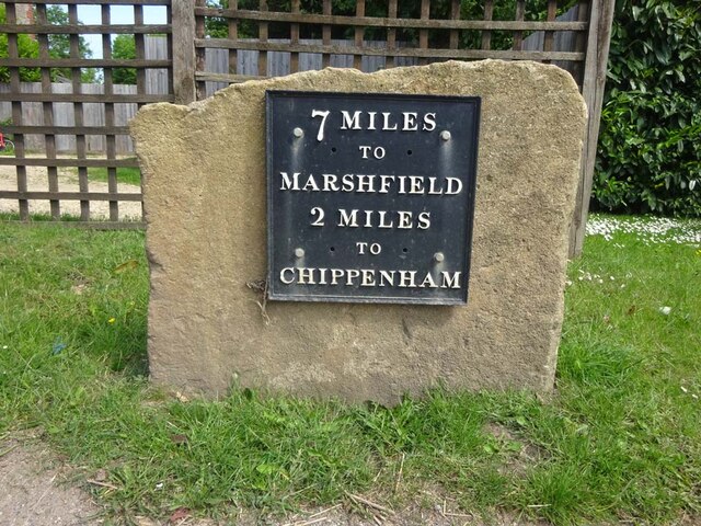
///steroids.excavate.trading. Near Chippenham, Wiltshire

Nearby Locations

Priors Copse

Related Wikis

Vincients Wood

Vincients Wood is a small nature reserve, a 12 acres (5 ha) area of semi-natural broadleaved woodland on the western edge of the town of Chippenham, Wiltshire...

Sheldon Manor

Sheldon Manor near Chippenham, Wiltshire, England, is Wiltshire's oldest inhabited manor house and dates back to Anglo-Saxon times. Its structure is mostly...

Chippenham Without

Chippenham Without is a civil parish in Wiltshire, England, created as a separate entity from the parish of Chippenham by the Local Government Act 1894...

Sheldon School

Sheldon School (formerly Chippenham Boys' High School) is a large mixed secondary school and sixth form in Chippenham, Wiltshire for students aged 11 to...

Nearby Amenities

Located within 500m of 51.460166,-2.1545962
Stop
Lat/Long: 51.4625252/-2.1505785
Post Box
Brand: Royal Mail
Brand Wikidata: Q638098
Collection Times: Mo-Fr 17:15; Sa 07:00
Mapillary: 251432976733395
Operator: Royal Mail
Operator Wikidata: Q638098
Post Box Mounting: pier
Post Box Type: lamp
Ref: SN14 242
Royal Cypher: EIIR
Royal Cypher Wikidata: Q33102113
Survey Date: 2019-12-22
Lat/Long: 51.4625484/-2.1595573
Barrier: bollard
Psv: yes
Vehicle: no
Lat/Long: 51.4622701/-2.1482545
Bench
2000
Backrest: yes
Check Date: 2021-02-16
Lat/Long: 51.463124/-2.1580855
Power: tower
Source: Bing
Lat/Long: 51.4580341/-2.1515958
Power: tower
Source: Bing
Lat/Long: 51.4614794/-2.1509017
Barrier: stile
Lat/Long: 51.4625294/-2.1498742
Barrier: bollard
Bollard: fixed
Lat/Long: 51.4625866/-2.1505516
Stop
Lat/Long: 51.4624198/-2.1499668
Barrier: bollard
Bicycle: yes
Foot: yes
Lat/Long: 51.4625436/-2.149922
Barrier: stile
Foot: yes
Lat/Long: 51.4603639/-2.1475973
Colour: yellow;black
Marker: aerial
Operator: GPSS
Utility: oil
Lat/Long: 51.4629527/-2.1587025
Colour: white
Marker: stone
Operator: GPSS
Utility: oil
Lat/Long: 51.46295/-2.1587078
Colour: white
Marker: stone
Operator: GPSS
Utility: oil
Lat/Long: 51.4628967/-2.1586339
Colour: yellow;black
Marker: aerial
Operator: GPSS
Utility: oil
Lat/Long: 51.4628927/-2.1586285
Colour: yellow;black
Marker: aerial
Operator: GPSS
Utility: oil
Lat/Long: 51.458754/-2.152854
Colour: yellow;black
Marker: aerial
Operator: GPSS
Utility: oil
Lat/Long: 51.4580976/-2.1514637
Colour: yellow;black
Marker: aerial
Operator: GPSS
Utility: oil
Lat/Long: 51.4580506/-2.1513556
Defibrillator
Emergency: defibrillator
Indoor: no
Lat/Long: 51.463714/-2.1571551
The data included in this document is from www.openstreetmap.org. The data is made available under ODbL.

Have you been to Priors Copse?

Leave your review of Priors Copse below (or comments, questions and feedback).