Ashes Covert
Wood, Forest in Staffordshire Stafford
England
Ashes Covert
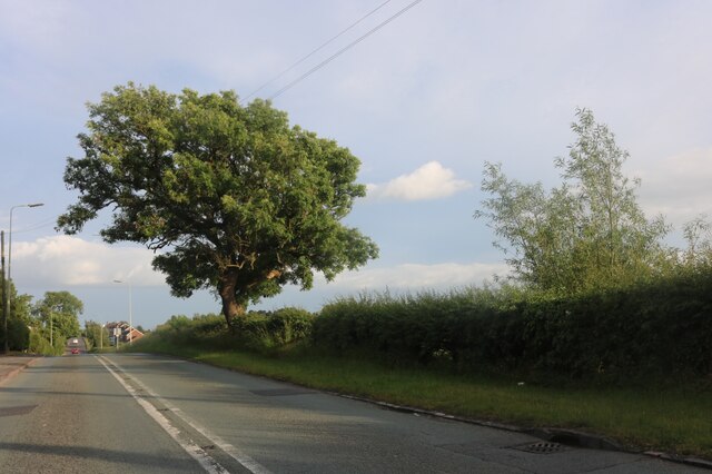
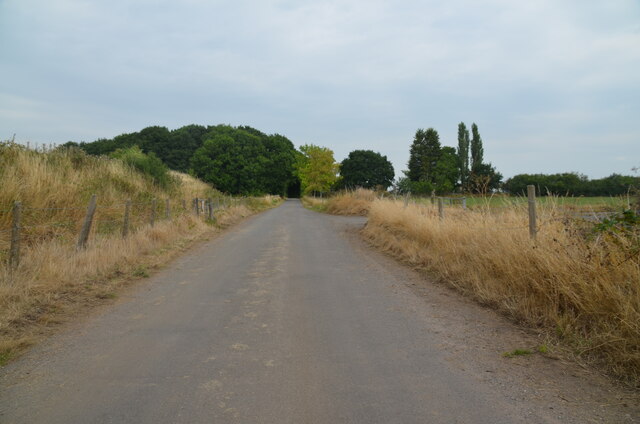
Ashes Covert is a picturesque woodland area located in Staffordshire, England. Covering an area of approximately 100 acres, it is nestled within the heart of the county and offers a tranquil escape from the bustling city life. The woodland is part of the larger Cannock Chase Forest, known for its rich biodiversity and natural beauty.
Ashes Covert is characterized by a dense canopy of broadleaf trees, primarily consisting of oak, birch, and beech. The forest floor is covered with a carpet of wildflowers, ferns, and mosses, creating a vibrant and enchanting atmosphere. The diverse ecosystem supports a wide variety of wildlife, including deer, foxes, badgers, and numerous bird species.
Visitors to Ashes Covert can enjoy a range of activities. The forest is crisscrossed by well-maintained trails, perfect for hiking and cycling. These trails offer breathtaking views of the surrounding landscape, with glimpses of rolling hills and meandering streams. Additionally, there are designated picnic areas where visitors can relax and immerse themselves in the peaceful surroundings.
Ashes Covert is also a popular destination for nature enthusiasts and photographers. Its natural beauty provides ample opportunities for capturing stunning landscapes and close-ups of flora and fauna. The forest is especially captivating during the autumn months when the trees transform into a kaleidoscope of vibrant colors.
Maintained by the Forestry Commission, Ashes Covert offers a balance between conservation and recreation. It serves as a valuable habitat for wildlife while providing a delightful escape for visitors seeking solace in nature.
If you have any feedback on the listing, please let us know in the comments section below.
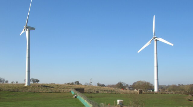
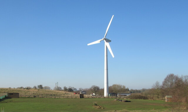
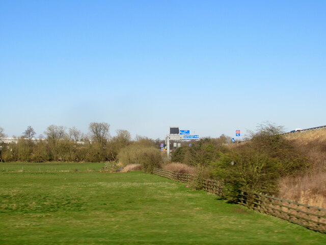
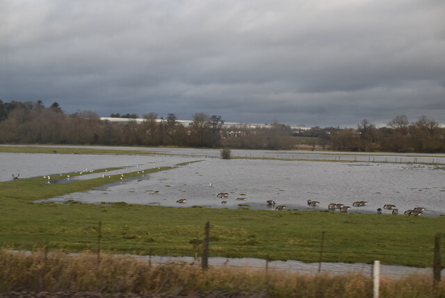
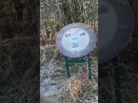
Ashes Covert Images
Images are sourced within 2km of 52.82012/-2.1621311 or Grid Reference SJ8924. Thanks to Geograph Open Source API. All images are credited.
Ashes Covert is located at Grid Ref: SJ8924 (Lat: 52.82012, Lng: -2.1621311)
Administrative County: Staffordshire
District: Stafford
Police Authority: Staffordshire
What 3 Words
///caked.began.stuff. Near Stafford, Staffordshire
Nearby Locations
Related Wikis

Creswell, Staffordshire
Creswell is a small village on the north-western edge of Stafford, the county town of Staffordshire, England situated on elevated ground above the wide...

Seighford
Seighford ( SY-fərd) is a village and civil parish about 3 miles (5 km) west of Stafford in Staffordshire, England. The population of this civil parish...

Doxey
Doxey is a village and civil parish in the borough of Stafford in Staffordshire, England. It is a north-western suburb of Stafford. The village became...

Great Bridgeford
Great Bridgeford is a village in the Borough of Stafford, Staffordshire, England, and a ward of Seighford civil parish. Population details taken at the...

Seighford Hall
Seighford Hall is a house that lies slightly to north-west of the core of Seighford, England. It appears to have later- 16th to early-17th origins but...

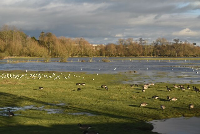
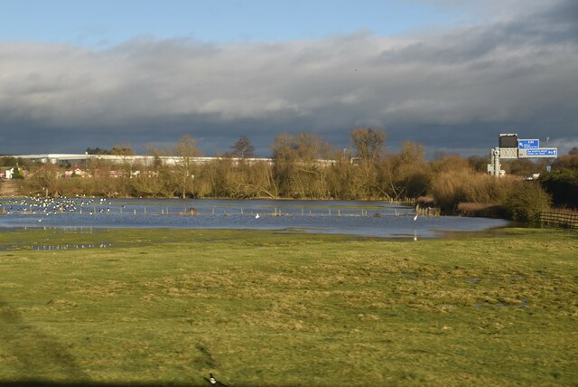
Doxey Marshes
Doxey Marshes is a 150 hectares (370 acres) nature reserve located within two miles of Stafford town centre, and is managed by Staffordshire Wildlife Trust...
Holmcroft
Holmcroft is the name of a Stafford, Staffordshire, England, residential estate approximately 1½ miles north of Stafford town centre, situated in a geographic...
Stafford Rural District
Stafford Rural District was a rural district in the county of Staffordshire. It was created in 1894 and abolished in 1974 by virtue of the Local Government...
Related Videos

Choo Choo to Isabel Trail parkrun tourism adventure
I was joined by Ewan rather than Iona this week for our parkrun tourism adventure and we visited Isabel Trail parkrun in Stafford.
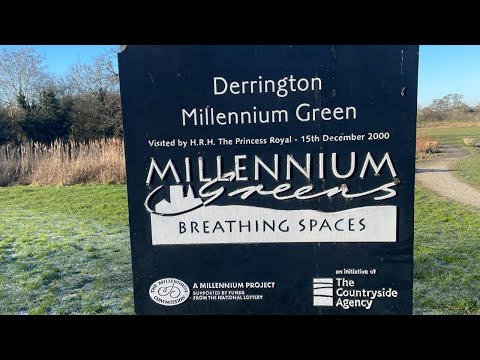
Walking to Derrington
Walking to Derrington Timestamps: 00:00 Castlefields and Palmbourne 11:13 Squrrels 21:47 Duddas Wood, Derrington 28:16 ...
Nearby Amenities
Located within 500m of 52.82012,-2.1621311Have you been to Ashes Covert?
Leave your review of Ashes Covert below (or comments, questions and feedback).