Tyneham Great Wood

Wood, Forest in Dorset

England

Tyneham Great Wood

Worbarrow building Worbarrow, what remains of the building
Worbarrow building Credit: Colin Prosser

Tyneham Great Wood is a picturesque forest located in the county of Dorset, England. Covering an area of approximately 80 hectares, it is nestled within the idyllic countryside of the Isle of Purbeck. The wood is part of the larger Tyneham Estate, which has a rich history dating back centuries.

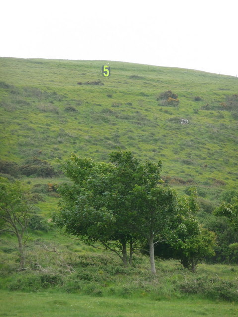
The forest is primarily made up of a mix of deciduous and coniferous trees, creating a diverse and vibrant landscape. Oak, beech, and ash trees dominate the wood, providing a lush canopy and shelter for a variety of wildlife. The forest floor is carpeted with a plethora of wildflowers, ferns, and mosses, adding to its enchanting beauty.

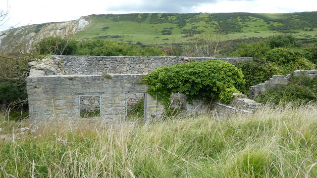
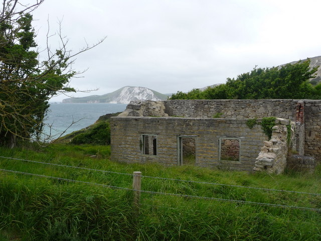
Walking through Tyneham Great Wood, visitors can explore a network of well-maintained footpaths that wind through its peaceful surroundings. These paths offer stunning views of the surrounding countryside, including glimpses of the nearby Tyneham Village, which was evacuated during World War II and is now a fascinating historical site.

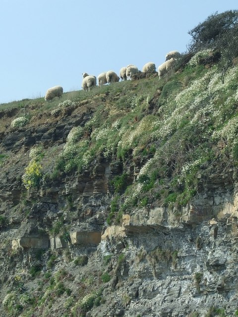
The wood is home to a diverse range of wildlife, including deer, badgers, and a wide array of bird species. Nature enthusiasts can often spot buzzards soaring overhead or hear the melodic songs of woodland birds.

Tyneham Great Wood offers a tranquil escape from the hustle and bustle of modern life. With its natural beauty, rich history, and abundant wildlife, it is a haven for those seeking solace in nature. Whether it's a leisurely stroll, a picnic, or birdwatching, this charming forest provides a delightful experience for visitors of all ages.

If you have any feedback on the listing, please let us know in the comments section below.

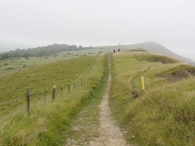
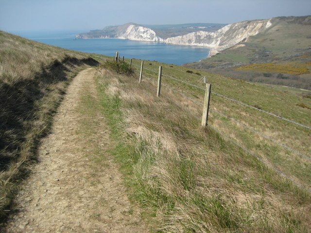
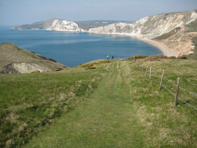
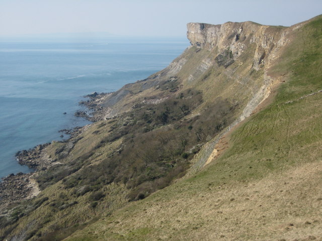
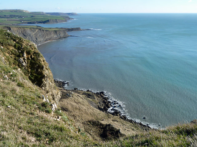
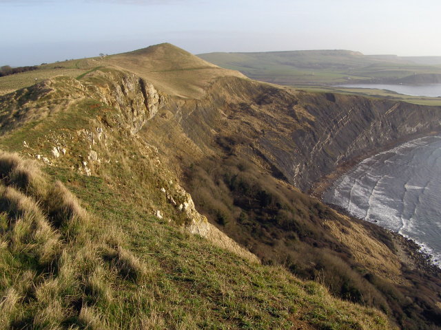
Tyneham Great Wood Images

Images are sourced within 2km of 50.620278/-2.154592 or Grid Reference SY8980. Thanks to Geograph Open Source API. All images are credited.

Worbarrow building Worbarrow, what remains of the building
Worbarrow building
Worbarrow, what remains of the building
Cliff Top Sheep, Kimmeridge Bay No Fear! - these sheep appeared totally at ease on the edge of the cliffs, which are known for rock falls.
Cliff Top Sheep, Kimmeridge Bay
No Fear! - these sheep appeared totally at ease on the edge of the cliffs, which are known for rock falls.
Tyneham: a ‘5’ on the firing range One of a series of large figures displayed along the slopes of Tyneham, which are targets of the military firing range.
Tyneham: a ‘5’ on the firing range
One of a series of large figures displayed along the slopes of Tyneham, which are targets of the military firing range.
Tyneham: ruined cottage and bay view Looking across Worbarrow Bay towards Bindon Hill, beyond one of the ruined cottages of Tyneham village.
Tyneham: ruined cottage and bay view
Looking across Worbarrow Bay towards Bindon Hill, beyond one of the ruined cottages of Tyneham village.
Tyneham: Gad Cliff from Worbarrow Tout Looking from the 55m summit of Worbarrow Tout across the face of Gad Cliff as it descends dramatically to the sea. The view extends towards St. Aldhelm's Head, the farmost headland.
Tyneham: Gad Cliff from Worbarrow Tout
Looking from the 55m summit of Worbarrow Tout across the face of Gad Cliff as it descends dramatically to the sea. The view extends towards St. Aldhelm's Head, the farmost headland.
The Coastal Footpath Along Gad Cliff
Field Boundary below Tyneham Cap Taken from the coastal path on the descent from Tyneham Cap.
Field Boundary below Tyneham Cap
Taken from the coastal path on the descent from Tyneham Cap.
Rough Grassland above Broad Bench Nothing here above the cliffs but rough grassland and a surveillance camera.
Rough Grassland above Broad Bench
Nothing here above the cliffs but rough grassland and a surveillance camera.
Worbarrow Bay viewed from the east Worbarrow Bay viewed from the South West Coast Path to the east as it descends Gold Down to the south-east of the evacuated village of Tyneham.
Worbarrow Bay viewed from the east
Worbarrow Bay viewed from the South West Coast Path to the east as it descends Gold Down to the south-east of the evacuated village of Tyneham.
Worbarrow Bay The South West Coast path descending towards Worbarrow Bay with Worbarrow Tout partially visible on the left.
Worbarrow Bay
The South West Coast path descending towards Worbarrow Bay with Worbarrow Tout partially visible on the left.
Gad Cliff and Brandy Bay View down to Brandy Bay at low tide from above Gad Cliff.
Gad Cliff and Brandy Bay
View down to Brandy Bay at low tide from above Gad Cliff.
Gad Cliff Gad Cliff viewed from the South West Coast below Tyneham Cap.
Gad Cliff
Gad Cliff viewed from the South West Coast below Tyneham Cap.
Low tide in Brandy Bay The rock strata in Brandy Bay exposed by the low tide, Gad Cliff can be seen above the bay.
Low tide in Brandy Bay
The rock strata in Brandy Bay exposed by the low tide, Gad Cliff can be seen above the bay.
Brandy Bay and Gad Cliff View of Brandy Bay and Gad Cliff from the South West Coast Path.  Here it is pictured at low tide when the erodded strata of the seabed is revealed.
Brandy Bay and Gad Cliff
View of Brandy Bay and Gad Cliff from the South West Coast Path. Here it is pictured at low tide when the erodded strata of the seabed is revealed.
Tyneham Cap Tyneham Cap viewed from the coast path to the south.  This land is a military range and normally out of bounds.
Tyneham Cap
Tyneham Cap viewed from the coast path to the south. This land is a military range and normally out of bounds.
Kimmeridge Bay from Broad Bench View across Kimmeridge Bay from the coast path at Broad Bench, the Clavel Tower can be seen on Hen Cliff on the far side of the bay.
Kimmeridge Bay from Broad Bench
View across Kimmeridge Bay from the coast path at Broad Bench, the Clavel Tower can be seen on Hen Cliff on the far side of the bay.
Storm Clouds over Weymouth Bay The distinctive Tyneham Cap can just be seen on the left.
Storm Clouds over Weymouth Bay
The distinctive Tyneham Cap can just be seen on the left.
Looking down Gad Cliff Kimmeridge Clay towards the bottom of the cliff.
Looking down Gad Cliff
Kimmeridge Clay towards the bottom of the cliff.
Show me another place!

Tyneham Great Wood is located at Grid Ref: SY8980 (Lat: 50.620278, Lng: -2.154592)

Unitary Authority: Dorset

Police Authority: Dorset

What 3 Words

///sleeper.shuffles.monitors. Near Corfe Castle, Dorset

Nearby Locations

Tyneham Great Wood

Related Wikis

Tyneham Cap

Tyneham Cap is a prominent, grassy knoll, 167 metres (548 ft) high, on the South West Coast Path in Dorset, England. It rises above Brandy Bay and has...

Brandy Bay, Dorset

Brandy Bay is a small secluded southwest-facing bay, with an oil shale and shingle beach immediately below Gad Cliff and Tyneham Cap, to the east of Worbarrow...

Tyneham

Tyneham is a ghost village abandoned in 1943 and former civil parish, now in the parish of Steeple with Tyneham, in the Dorset district, in the south of...

St Mary's Church, Tyneham

St Mary's Church is a former Church of England parish church in Tyneham, Dorset, England. The church, which is a Grade II listed building, has 13th-century...

Nearby Amenities

Located within 500m of 50.620278,-2.154592
Tyneham Range
Lat/Long: 50.6232113/-2.1579764
Bench
Lat/Long: 50.6164704/-2.1549598
Tyneham Cap
Ele: 160
Natural: peak
Lat/Long: 50.6172774/-2.1540811
The data included in this document is from www.openstreetmap.org. The data is made available under ODbL.

Have you been to Tyneham Great Wood?

Leave your review of Tyneham Great Wood below (or comments, questions and feedback).