Thornington Covert
Wood, Forest in Northumberland
England
Thornington Covert
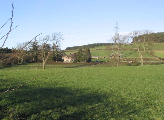
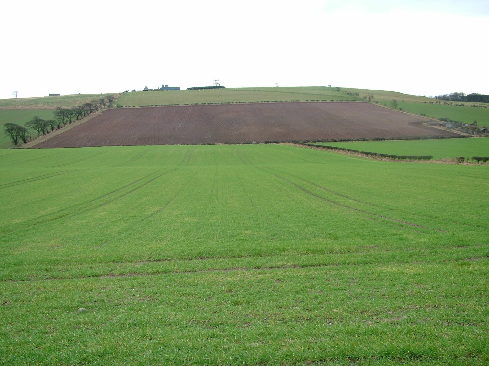
Thornington Covert is a picturesque woodland located in Northumberland, England. Covering an area of approximately 200 acres, this enchanting forest is nestled within the Northumberland National Park, renowned for its natural beauty and rich biodiversity.
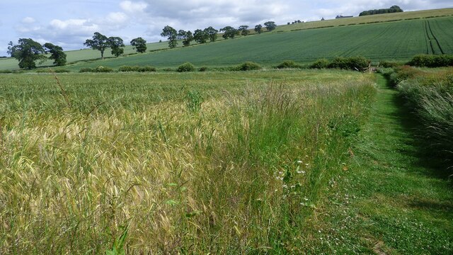
The woodland is characterized by its dense canopy of ancient trees, including towering oaks, beeches, and birches, which create a serene and tranquil atmosphere. The forest floor is carpeted with a diverse array of flora, such as bluebells, foxgloves, and ferns, adding vibrant colors to the landscape throughout the year.
Thornington Covert is home to a wide variety of wildlife, making it a haven for nature enthusiasts and bird watchers. The forest provides a habitat for species such as red squirrels, badgers, deer, and a plethora of bird species, including woodpeckers, owls, and warblers. The rustling leaves and melodic bird songs create a harmonious symphony that resonates throughout the forest.
The woodland offers a network of well-maintained trails that wind through the trees, providing visitors with the opportunity to explore and immerse themselves in the natural beauty of the area. These trails range from leisurely strolls to more challenging hikes, catering to all levels of fitness and experience.
Thornington Covert is a popular destination for outdoor activities, such as walking, cycling, and wildlife photography. The forest also attracts visitors seeking a peaceful retreat, where they can reconnect with nature and rejuvenate their spirits.
Overall, Thornington Covert is a captivating woodland that showcases the beauty of Northumberland's natural landscape. Its ancient trees, diverse wildlife, and tranquil ambiance make it a must-visit destination for nature lovers and those seeking a serene escape.
If you have any feedback on the listing, please let us know in the comments section below.
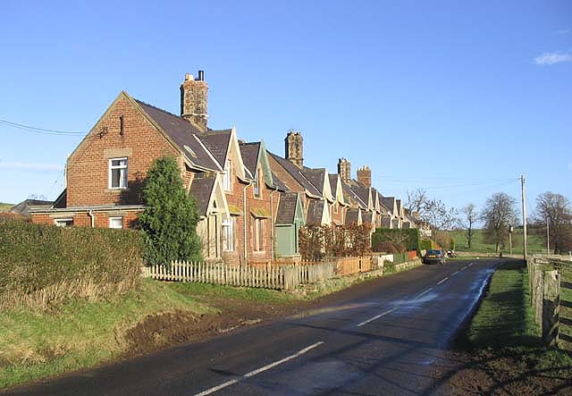
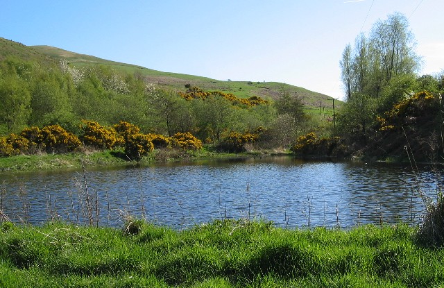
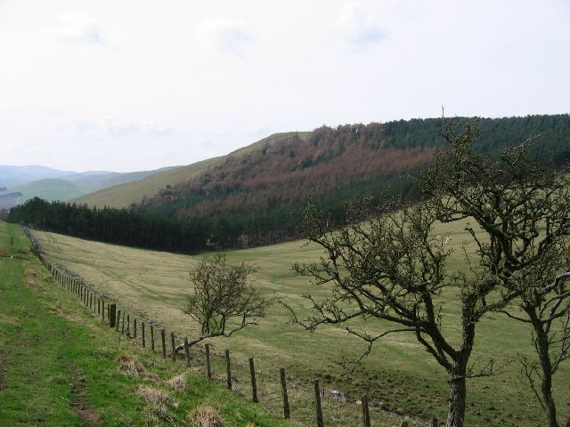
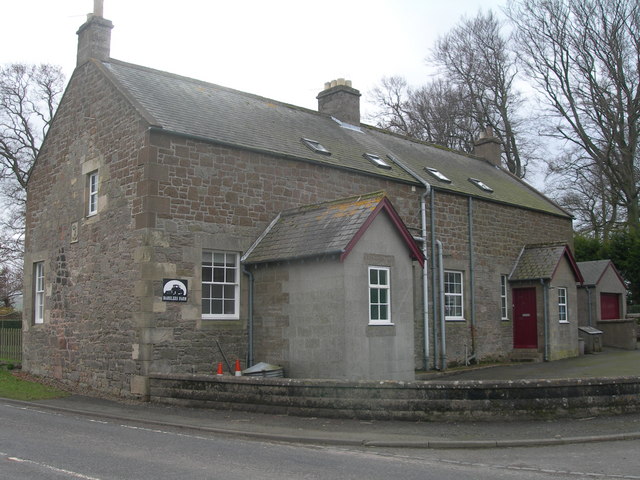
Thornington Covert Images
Images are sourced within 2km of 55.608093/-2.1754355 or Grid Reference NT8934. Thanks to Geograph Open Source API. All images are credited.


Thornington Covert is located at Grid Ref: NT8934 (Lat: 55.608093, Lng: -2.1754355)
Unitary Authority: Northumberland
Police Authority: Northumbria
What 3 Words
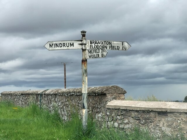
///escorting.fond.stormed. Near Ford, Northumberland
Nearby Locations
Related Wikis
Howtel
Howtel is a village and former civil parish, now in the parish of Kilham, in Northumberland, England about 8 miles (13 km) northwest of Wooler. The name...

Battle of Flodden
The Battle of Flodden, Flodden Field, or occasionally Branxton or Brainston Moor was a battle that was fought on 9 September 1513 during the War of the...
Kilham, Northumberland
Kilham is a hamlet and civil parish in the English county of Northumberland, located 8.0 miles (12.9 km) west of Wooler, 12.0 miles (19.3 km) east of Kelso...
Housedon Hill
Housedon Hill is a hill on the northwestern edge of the Cheviot Hills in Northumberland, England. It is the northernmost Marilyn in England, the summit...
Branxton, Northumberland
Branxton is a village and civil parish in northern Northumberland, England. It lies about 3 miles (5 km) from the England-Scotland border and about 4 miles...

Mindrum railway station
Mindrum railway station was a stone built railway station serving the hamlet of Mindrum and the surrounding villages in Northumberland. It was on the Alnwick...
Bareless
Bareless is a village in Northumberland, England. == Governance == Bareless is in the parliamentary constituency of Berwick-upon-Tweed. == References ==
Barelees Pond
Barelees Pond is the name given to a Site of Special Scientific Interest (SSSI) in north Northumberland, England. The site is a kettle hole, a deep pond...
Nearby Amenities
Located within 500m of 55.608093,-2.1754355Have you been to Thornington Covert?
Leave your review of Thornington Covert below (or comments, questions and feedback).