Whitewalls Wood

Wood, Forest in Wiltshire

England

Whitewalls Wood

Gated footpath to Hyam Wood
Gated footpath to Hyam Wood Credit: Alan Hughes

Whitewalls Wood, located in the county of Wiltshire, is a captivating forest that covers a vast area of approximately 100 hectares. This woodland gem is nestled within the picturesque landscape of the South West of England, making it a popular destination for nature enthusiasts, hikers, and those seeking tranquility away from the bustling cities.

Home to a diverse range of flora and fauna, Whitewalls Wood boasts an enchanting mix of broadleaf and coniferous trees, including oak, beech, and pine. Their towering presence provides a natural canopy, casting dappled sunlight onto the forest floor and creating a serene atmosphere. The woodland is also abundant in wildflowers, ferns, and mosses, adding bursts of color and texture to the landscape.

The forest's rich biodiversity supports a variety of wildlife species. Visitors may be lucky enough to spot elusive creatures such as deer, foxes, and badgers, as well as a plethora of bird species, including woodpeckers, owls, and buzzards. The tranquil surroundings provide an ideal habitat for these animals to thrive.

Whitewalls Wood offers a network of well-maintained trails, allowing visitors to explore the forest and immerse themselves in its natural beauty. These paths cater to different levels of fitness and provide opportunities for leisurely strolls, invigorating hikes, or even cycling. Along the way, informative signposts offer insights into the woodland's history, conservation efforts, and the flora and fauna that call it home.

With its captivating beauty, diverse wildlife, and peaceful ambiance, Whitewalls Wood is a true natural treasure in Wiltshire, offering a sanctuary for both wildlife and humans alike.

If you have any feedback on the listing, please let us know in the comments section below.

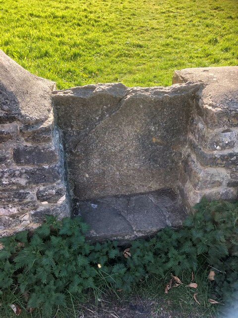
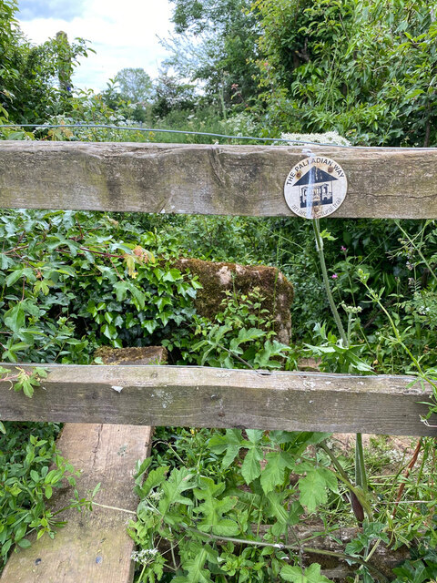
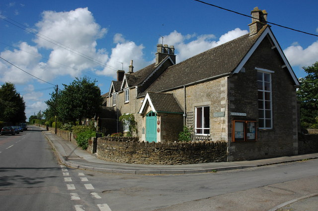
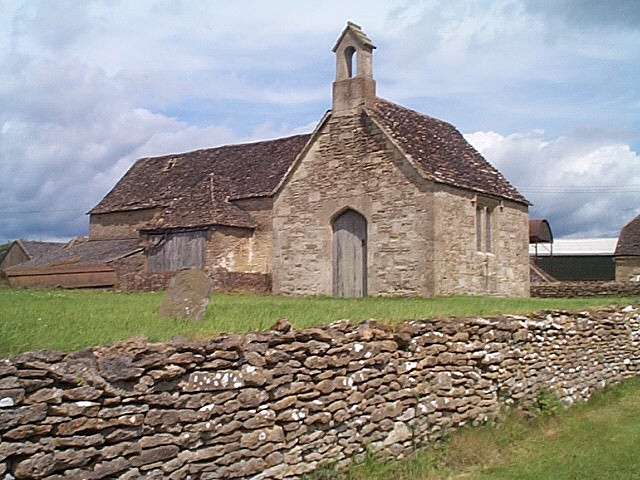
Whitewalls Wood Images

Images are sourced within 2km of 51.587001/-2.1603531 or Grid Reference ST8887. Thanks to Geograph Open Source API. All images are credited.

Gated footpath to Hyam Wood
Fosse Way near Malmesbury Looking northeast towards Fosse Cottages from where this roman road crosses the minor road southeast of Shipton Moyne.
Fosse Way near Malmesbury
Looking northeast towards Fosse Cottages from where this roman road crosses the minor road southeast of Shipton Moyne.
Hyam farm Arable fields, west of Malmesbury.
Hyam farm
Arable fields, west of Malmesbury.
Bridleway to Brokenborough This bridleway to Brokenborough is just to the east of the Fosse Way and just in the County of Wiltshire.
Bridleway to Brokenborough
This bridleway to Brokenborough is just to the east of the Fosse Way and just in the County of Wiltshire.
The Fosse Way and Fosse Cottages View north-eastwards up the Fosse Way, viewed from where the way crosses a lane between Shipton Moyne and Malmesbury. Fosse Cottages can be seen on the right.
The Fosse Way and Fosse Cottages
View north-eastwards up the Fosse Way, viewed from where the way crosses a lane between Shipton Moyne and Malmesbury. Fosse Cottages can be seen on the right.
Road junction, Easton Grey
Road junction near Rushmoor Covert
Stone Stile, Shipton Moyne Looking SW from a field South of St John the Baptist church. This is not on a registered footpath or a public right of way. It can be viewed from the churchyard.
The context view looking North to the church is <a href="https://www.geograph.org.uk/photo/7407057">ST8989 : Stone Stile, Shipton Moyne</a>.
Stone Stile, Shipton Moyne
Looking SW from a field South of St John the Baptist church. This is not on a registered footpath or a public right of way. It can be viewed from the churchyard. The context view looking North to the church is ST8989 : Stone Stile, Shipton Moyne.
Stone Stile, Shipton Moyne Looking East along Gloucestershire footpath NSM13 towards the Cat & Custard Pot pub, and a stone stile. The close view looking West is <a href="https://www.geograph.org.uk/photo/7205464">ST8889 : Stone Stile, Shipton Moyne</a>.
Stone Stile, Shipton Moyne
Looking East along Gloucestershire footpath NSM13 towards the Cat & Custard Pot pub, and a stone stile. The close view looking West is ST8889 : Stone Stile, Shipton Moyne.
Stone Stile, Shipton Moyne Looking West on Gloucestershire footpath NSM13 with the Cat & Custard Pot pub to the right of shot. The context view looking East is <a href="https://www.geograph.org.uk/photo/7205457">ST8889 : Stone Stile, Shipton Moyne</a>.
Stone Stile, Shipton Moyne
Looking West on Gloucestershire footpath NSM13 with the Cat & Custard Pot pub to the right of shot. The context view looking East is ST8889 : Stone Stile, Shipton Moyne.
Whitewalls Industrial Estate
Easton Grey Parish Church
Road through woodland to Easton Grey
Stone Stile, Shipton Moyne GS 2040 On Gloucestershire footpath NSM12 off the road from Easton Grey to Shipton Moyne. This view is looking NE, the view to the road and Nomeads Covert is <a href="https://www.geograph.org.uk/photo/7257020">ST8888 : Stone Stile, Shipton Moyne GS 2040</a>.
Stone Stile, Shipton Moyne GS 2040
On Gloucestershire footpath NSM12 off the road from Easton Grey to Shipton Moyne. This view is looking NE, the view to the road and Nomeads Covert is ST8888 : Stone Stile, Shipton Moyne GS 2040.
Stone Stile, Shipton Moyne GS 2040 On Gloucestershire footpath NSM12 off the road from Easton Grey to Shipton Moyne. This view is looking SW to the road and Nomeads Covert, view back is <a href="https://www.geograph.org.uk/photo/7257018">ST8888 : Stone Stile, Shipton Moyne GS 2040</a>.
Stone Stile, Shipton Moyne GS 2040
On Gloucestershire footpath NSM12 off the road from Easton Grey to Shipton Moyne. This view is looking SW to the road and Nomeads Covert, view back is ST8888 : Stone Stile, Shipton Moyne GS 2040.
Stone Stile, Shipton Moyne GS2041 On Gloucestershire footpath NSM12, off Hedgeditch Lane. The context view from the other side is <a href="https://www.geograph.org.uk/photo/7257129">ST8889 : Stone Stile, Shipton Moyne GS2041</a>.
Stone Stile, Shipton Moyne GS2041
On Gloucestershire footpath NSM12, off Hedgeditch Lane. The context view from the other side is ST8889 : Stone Stile, Shipton Moyne GS2041.
Stone Stile, Shipton Moyne GS2041 On Gloucestershire footpath NSM12, off Hedgeditch Lane. The slab is on the right of picture, the close-up view from the other side is <a href="https://www.geograph.org.uk/photo/7257128">ST8889 : Stone Stile, Shipton Moyne GS2041</a>.
Stone Stile, Shipton Moyne GS2041
On Gloucestershire footpath NSM12, off Hedgeditch Lane. The slab is on the right of picture, the close-up view from the other side is ST8889 : Stone Stile, Shipton Moyne GS2041.
Stone Stile, Shipton Moyne Not on a registered footpath, between private fields, near the church. This view looks NW, the view SE is <a href="https://www.geograph.org.uk/photo/7407051">ST8989 : Stone Stile, Shipton Moyne</a>.
Stone Stile, Shipton Moyne
Not on a registered footpath, between private fields, near the church. This view looks NW, the view SE is ST8989 : Stone Stile, Shipton Moyne.
Show me another place!

Whitewalls Wood is located at Grid Ref: ST8887 (Lat: 51.587001, Lng: -2.1603531)

Unitary Authority: Wiltshire

Police Authority: Wiltshire

What 3 Words

///joyously.factory.aquatics. Near Norton, Wiltshire

Related Wikis

Whatley Manor

Whatley Manor is a hotel, restaurant and spa housed in a former farm and estate buildings, near Easton Grey in the southern Cotswolds, about 2 miles (3...

Easton Grey

Easton Grey is a small village and civil parish in north Wiltshire, England, on the county boundary with Gloucestershire. The village lies just south of...

Shipton Moyne

Shipton Moyne is a village and civil parish in the Cotswold district of Gloucestershire, England, approximately 105 miles west of London. Its nearest towns...

Bremilham

Bremilham, also known as Cowage or Cowich, is a small settlement and former civil parish in north Wiltshire, England. It is near the hamlet of Foxley in...

Nearby Amenities

Located within 500m of 51.587001,-2.1603531
Description: Earthwork
Historic: archaeological_site
Source: NPE
Lat/Long: 51.5866395/-2.1604897
Barrier: kissing_gate
Foot: yes
Lat/Long: 51.5833395/-2.1639797
Pit Stop
Contact Phone: +44 1666 824084;+44 7501 464821
Contact Website: http://www.pitstopmts.com/
Shop: car_repair
Lat/Long: 51.5875894/-2.1582413
Note: "HP GAS"
Pipeline: marker
Substance: gas
Support: pole
Lat/Long: 51.5873081/-2.1533391
The data included in this document is from www.openstreetmap.org. The data is made available under ODbL.

Have you been to Whitewalls Wood?

Leave your review of Whitewalls Wood below (or comments, questions and feedback).