Hawkswell Rough

Wood, Forest in Staffordshire South Staffordshire

England

Hawkswell Rough

Railway Path The south staffordshire railway walk near Himley.
Railway Path Credit: Gordon Griffiths

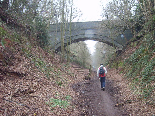
Hawkswell Rough, located in the county of Staffordshire, is a picturesque wood and forest area that spans over a vast expanse of land. Known for its natural beauty and tranquil atmosphere, Hawkswell Rough attracts nature enthusiasts, hikers, and those seeking a peaceful retreat from urban life.

The wood is characterized by its dense canopy of trees, primarily consisting of oak, ash, and birch, which provide a habitat for a diverse range of wildlife. Squirrels, rabbits, and various bird species can often be spotted amidst the foliage, adding to the area's charm and allure. The forest floor is adorned with a carpet of ferns, wildflowers, and mosses, creating a vibrant and enchanting landscape.

Hawkswell Rough offers a network of well-maintained walking trails, allowing visitors to explore the wood at their own pace. The paths wind through the trees, providing glimpses of scenic viewpoints, babbling brooks, and small clearings where one can rest and immerse themselves in the tranquility of the surroundings.

In addition to its natural beauty, Hawkswell Rough also holds historical significance. The wood has been a protected area for centuries, with evidence of human presence dating back to ancient times. Archaeological finds, such as pottery shards and stone tools, have been discovered, shedding light on the area's past inhabitants and their way of life.

Overall, Hawkswell Rough is a haven for those seeking solace in nature. Its captivating beauty, diverse wildlife, and historical significance make it a must-visit destination for anyone with an appreciation for the great outdoors.

If you have any feedback on the listing, please let us know in the comments section below.

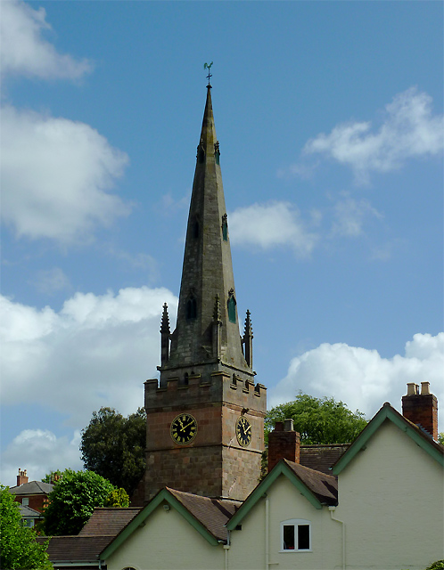
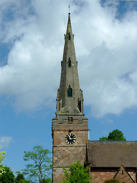
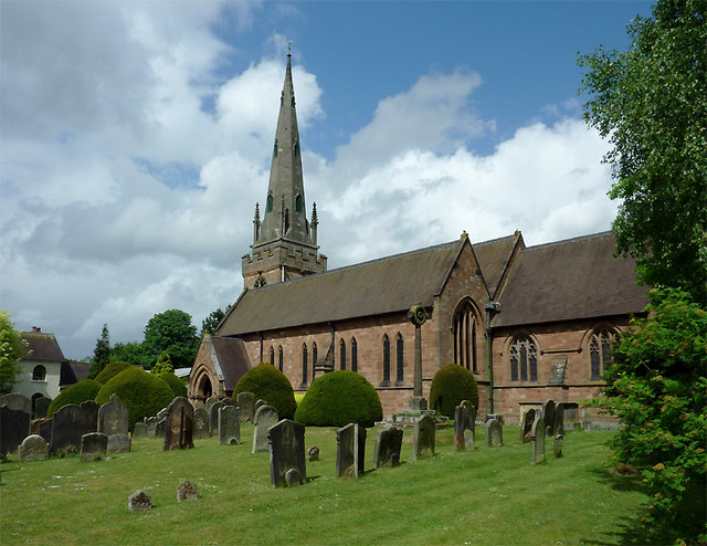
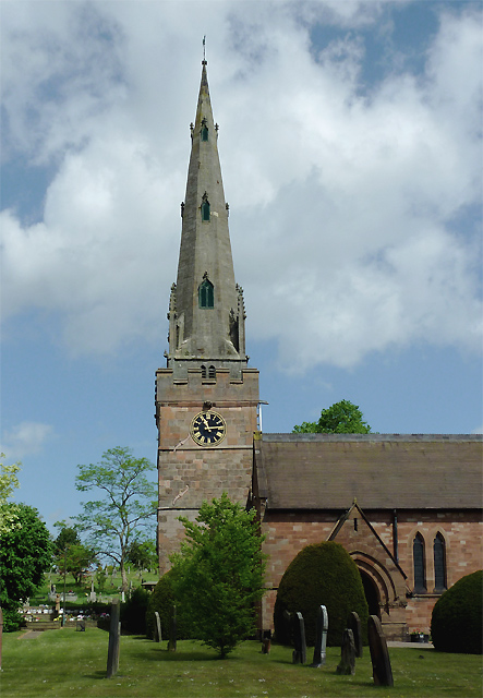
Hawkswell Rough Images

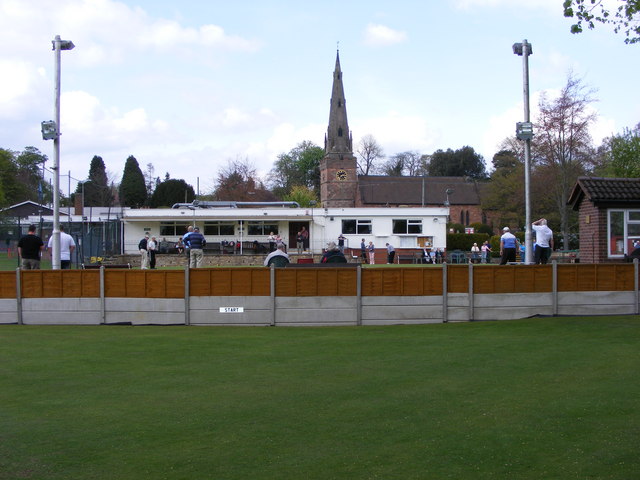
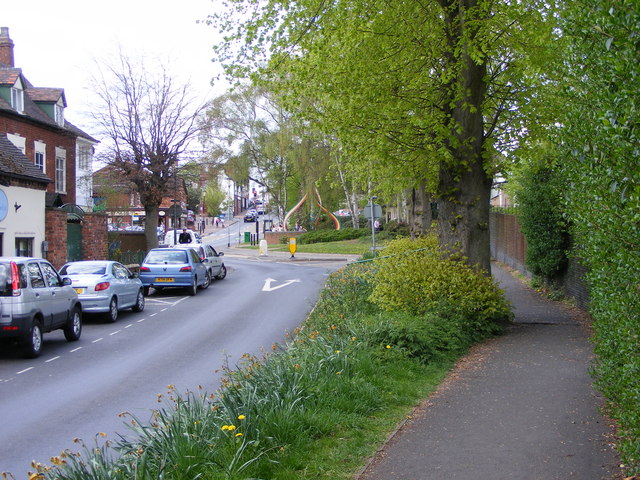
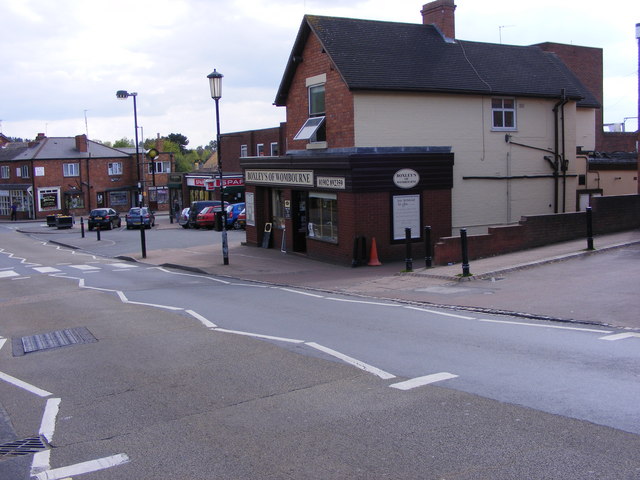
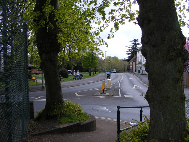
Images are sourced within 2km of 52.530098/-2.1728372 or Grid Reference SO8892. Thanks to Geograph Open Source API. All images are credited.

Railway Path The south staffordshire railway walk near Himley.
Railway Path
The south staffordshire railway walk near Himley.
Bridgnorth Road View The B4176 at Himley.
Bridgnorth Road View
The B4176 at Himley.
Wombourne Institute The 1863 Institute in Church Road stands next to St Benedict Church overlooking the Staffordshire Village Green.
Wombourne Institute
The 1863 Institute in Church Road stands next to St Benedict Church overlooking the Staffordshire Village Green.
Wombourne Church The St Benedict Biscop Church stands in Church Road overlooking the Village Green.
Wombourne Church
The St Benedict Biscop Church stands in Church Road overlooking the Village Green.
Green on the Green Wombourne Bowls Club stands on the Staffordshire Village Green, with St Benedict's Church in the background.
Green on the Green
Wombourne Bowls Club stands on the Staffordshire Village Green, with St Benedict's Church in the background.
Wombourne Path The view up Maypole Street alongside the Staffordshire Village Green.
Wombourne Path
The view up Maypole Street alongside the Staffordshire Village Green.
Wombourne Butchers The view of Boxley's of Wombourne in Windmill Bank near the Staffordshire Village Green.
Wombourne Butchers
The view of Boxley's of Wombourne in Windmill Bank near the Staffordshire Village Green.
Maypole and Street The view in Maypole Street Wombourne near the Staffordshire Village Green.
Maypole and Street
The view in Maypole Street Wombourne near the Staffordshire Village Green.
Wombourne View The view of Gravel Hill from the corner of the Staffordshire Village Green.
Wombourne View
The view of Gravel Hill from the corner of the Staffordshire Village Green.
The spire of St Benedict Biscop Church at Wombourne, Staffordshire In 1840 nearly all the then existing medieval church was demolished. The 14th century tower with its recessed stone spire was retained. The 1840 rebuild was itself taken down, and the present fine structure replaced it in 1867 - again retaining the original 14th century tower and spire.
The spire of St Benedict Biscop Church at Wombourne, Staffordshire
In 1840 nearly all the then existing medieval church was demolished. The 14th century tower with its recessed stone spire was retained. The 1840 rebuild was itself taken down, and the present fine structure replaced it in 1867 - again retaining the original 14th century tower and spire.
St Benedict Biscop Church in Wombourne, Staffordshire In 1840 nearly all the then existing medieval church was demolished. The 14th century tower with its recessed stone spire was retained. The 1840 rebuild was itself taken down, and the present fine structure replaced it in 1867 - again retaining the original 14th century tower and spire.
St Benedict Biscop Church in Wombourne, Staffordshire
In 1840 nearly all the then existing medieval church was demolished. The 14th century tower with its recessed stone spire was retained. The 1840 rebuild was itself taken down, and the present fine structure replaced it in 1867 - again retaining the original 14th century tower and spire.
St Benedict Biscop Church in Wombourne, Staffordshire In 1840 nearly all the then existing medieval church was demolished. The 14th century tower with its recessed stone spire was retained. The 1840 rebuild was itself taken down, and the present fine structure replaced it in 1867 - again retaining the original 14th century tower and spire.

<span class="nowrap"><a title="http://www.stbenedictbiscop.org.uk/" rel="nofollow ugc noopener" href="http://www.stbenedictbiscop.org.uk/">Link</a><img style="margin-left:2px;" alt="External link" title="External link - shift click to open in new window" src="https://s1.geograph.org.uk/img/external.png" width="10" height="10"/></span>
St Benedict Biscop Church in Wombourne, Staffordshire
In 1840 nearly all the then existing medieval church was demolished. The 14th century tower with its recessed stone spire was retained. The 1840 rebuild was itself taken down, and the present fine structure replaced it in 1867 - again retaining the original 14th century tower and spire. LinkExternal link
St Benedict's Church clock in Wombourne, Staffordshire The tower was originally built in the 14th century and has structural strengthening ironware showing here, as well as a gargoyle.

In 1840 nearly all the then existing medieval church was demolished. The tower with its recessed stone spire was retained. The 1840 rebuild was itself taken down, and the present fine structure replaced it in 1867 - again retaining the 14th century tower and spire.
St Benedict's Church clock in Wombourne, Staffordshire
The tower was originally built in the 14th century and has structural strengthening ironware showing here, as well as a gargoyle. In 1840 nearly all the then existing medieval church was demolished. The tower with its recessed stone spire was retained. The 1840 rebuild was itself taken down, and the present fine structure replaced it in 1867 - again retaining the 14th century tower and spire.
War memorial in St Benedict's churchyard in Wombourne, Staffordshire The inscription reads:

TO
THE GLORY OF GOD
AND IN MEMORY OF
THE MEN OF WOMBOURN
WHO GAVE THEIR LIVES
FOR THEIR COUNTRY
IN THE GREAT WAR
1914-1919
1939-1945
War memorial in St Benedict's churchyard in Wombourne, Staffordshire
The inscription reads: TO THE GLORY OF GOD AND IN MEMORY OF THE MEN OF WOMBOURN WHO GAVE THEIR LIVES FOR THEIR COUNTRY IN THE GREAT WAR 1914-1919 1939-1945
Griffiths Drive The view of the Close off Sytch Lane, Wombourne.
Griffiths Drive
The view of the Close off Sytch Lane, Wombourne.
Sytch Lane Cemetery Entrance The view of the entrance to the Wombourne Cemetery which opened in December 2009.
Sytch Lane Cemetery Entrance
The view of the entrance to the Wombourne Cemetery which opened in December 2009.
Wombourne Cemetery The view of Sytch Lane Cemetery which opened in December 2009.
Wombourne Cemetery
The view of Sytch Lane Cemetery which opened in December 2009.
Show me another place!

Hawkswell Rough is located at Grid Ref: SO8892 (Lat: 52.530098, Lng: -2.1728372)

Administrative County: Staffordshire

District: South Staffordshire

Police Authority: Staffordshire

What 3 Words

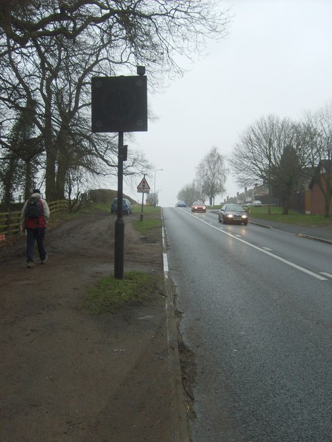
///snow.traded.elbow. Near Wombourn, Staffordshire

Nearby Locations

The Hill Hawkswell Rough

Related Wikis

Wombourne

Wombourne is a village and civil parish located in the district of South Staffordshire, in the county of Staffordshire, England. It is 4 miles (6 km) south...

Wom Brook

The Wom Brook is a stream in South Staffordshire, England. It flows through the large village of Wombourne, and has played an important part in its industrial...

The Wodehouse

The Wodehouse is a Grade II* listed English country house near Wombourne, Staffordshire, notable as the family seat of the Georgian landscape designer...

Baggeridge Country Park

Baggeridge Country Park is located within the South Staffordshire district of Staffordshire, England. Its entrance is on the A463 just west of Gospel End...

Himley

Himley is a small village and civil parish in Staffordshire, England, 4 miles (6.4 km) west of Dudley and 5 mi (8.0 km) southwest of Wolverhampton. At...

Himley railway station

Himley was a station on the Wombourne Branch Line. Unlike other stops along the route, it was deemed worthy of full station status. It was opened by the...

Baggeridge Colliery

Baggeridge Colliery was a colliery located in Sedgley, West Midlands England. == Colliery History == The Baggeridge Colliery was an enterprise of the Earls...

Wombourne High School

Wombourne High School (formerly Ounsdale High School) is a coeducational secondary school and sixth form located in Wombourne, Staffordshire, England....

Nearby Amenities

Located within 500m of 52.530098,-2.1728372
Barrier: stile
Lat/Long: 52.5345404/-2.1736781
Power: tower
Source: bing
Lat/Long: 52.5344849/-2.1714516
Power: tower
Source: bing
Lat/Long: 52.533904/-2.1692951
The data included in this document is from www.openstreetmap.org. The data is made available under ODbL.

Have you been to Hawkswell Rough?

Leave your review of Hawkswell Rough below (or comments, questions and feedback).