New Covert
Wood, Forest in Worcestershire Wychavon
England
New Covert

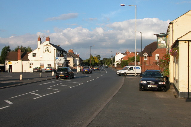
New Covert, Worcestershire (Wood, Forest) is a picturesque village located in the county of Worcestershire, England. Nestled amidst the charming woodlands and forests, this tranquil village offers a serene and idyllic setting for its residents and visitors alike.
The village is known for its abundant natural beauty, with lush greenery and tall trees that surround the area. The woodlands and forests provide a peaceful retreat, making it an ideal destination for nature lovers and outdoor enthusiasts. The village is often frequented by hikers, joggers, and cyclists who enjoy exploring the numerous trails and pathways that wind through the enchanting woodlands.
New Covert is a close-knit community, with a small population that fosters a warm and friendly atmosphere. The village is characterized by its charming cottages and traditional architecture, lending it a quintessentially English countryside feel. The residents take great pride in their village, and community events and gatherings are a common occurrence.
Despite its rural setting, New Covert is conveniently located near the town of Worcestershire, providing easy access to essential amenities and services. The village boasts a few local shops, cafes, and pubs, where residents can meet and socialize.
Overall, New Covert, Worcestershire (Wood, Forest) is a hidden gem that offers a peaceful and picturesque lifestyle. With its stunning natural surroundings and close-knit community, it provides a perfect retreat from the hustle and bustle of city life.
If you have any feedback on the listing, please let us know in the comments section below.
New Covert Images
Images are sourced within 2km of 52.225747/-2.1724564 or Grid Reference SO8858. Thanks to Geograph Open Source API. All images are credited.


New Covert is located at Grid Ref: SO8858 (Lat: 52.225747, Lng: -2.1724564)
Administrative County: Worcestershire
District: Wychavon
Police Authority: West Mercia
What 3 Words
///hears.cool.expert. Near Fernhill Heath, Worcestershire
Nearby Locations
Related Wikis
Hindlip
Hindlip or Hinlip is a village and civil parish 3 miles (4.8 km) north east of Worcester, in the Wychavon district, in the county of Worcestershire, England...
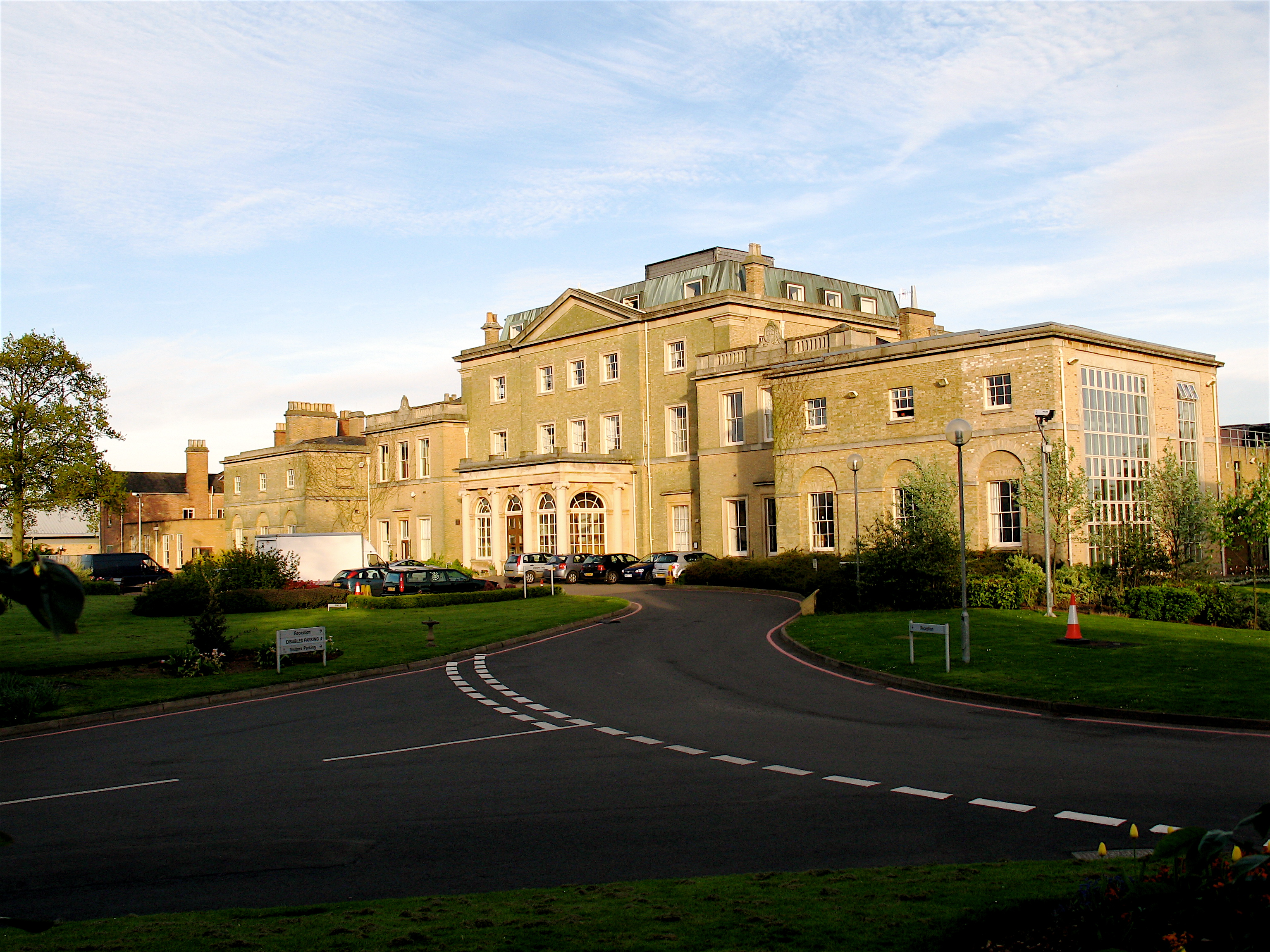
Hindlip Hall
Hindlip Hall is a stately home in Hindlip, Worcestershire, England. The first major hall was built before 1575, and it played a significant role in both...
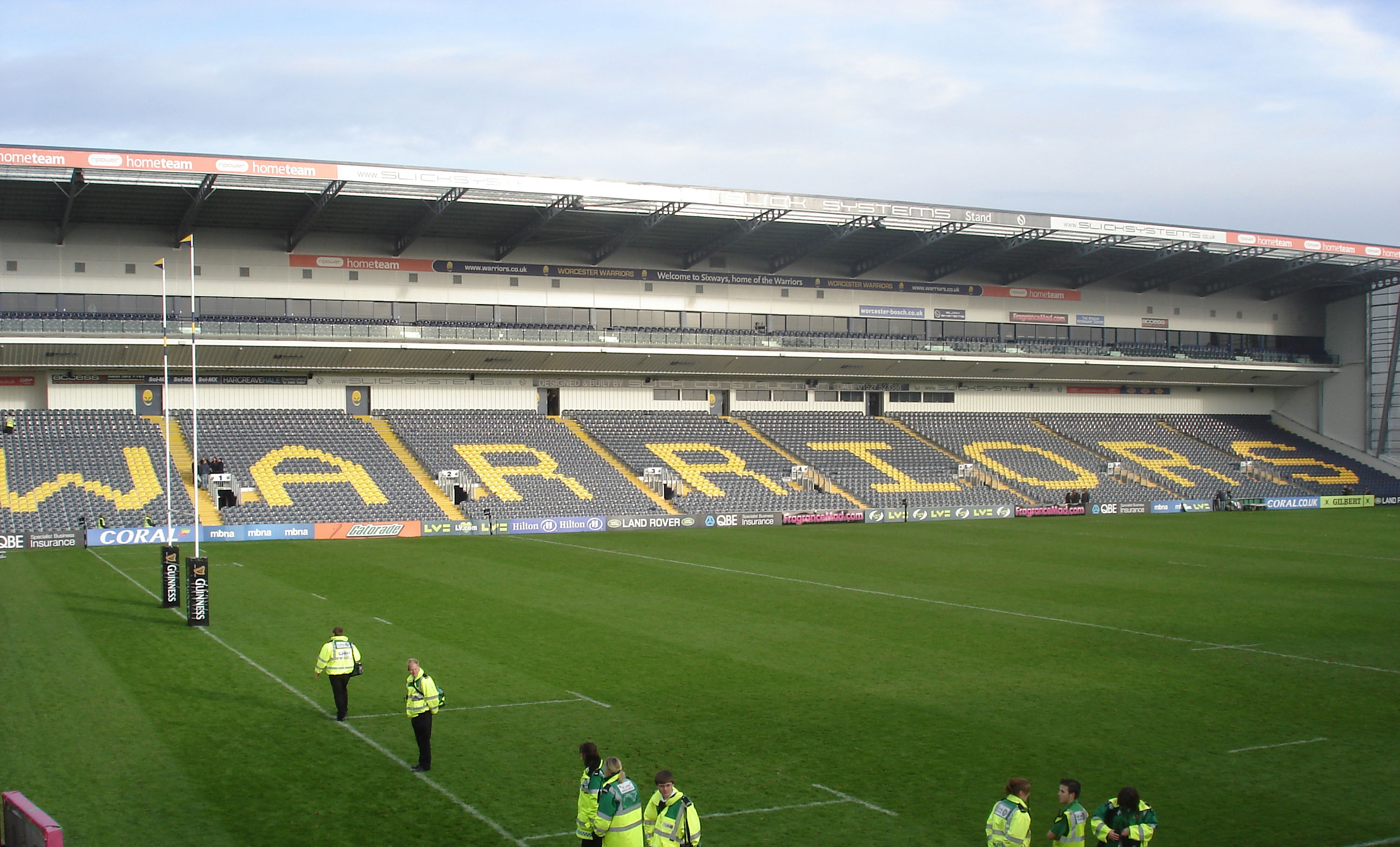
Sixways Stadium
Sixways Stadium is a stadium in Worcester, England. It is currently used for rugby union and association football matches and is the home stadium of Premier...

Worcester Raiders F.C.
Worcester Raiders Football Club is a football club based in Worcester, Worcestershire, England. They are currently members of the Hellenic League Premier...
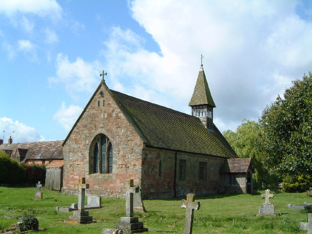
Church of St Michael and All Angels, Martin Hussingtree
The Church of St Michael and All Angels is a Grade I listed church in Martin Hussingtree, Worcestershire.The west wall is probably of 12th century origin...
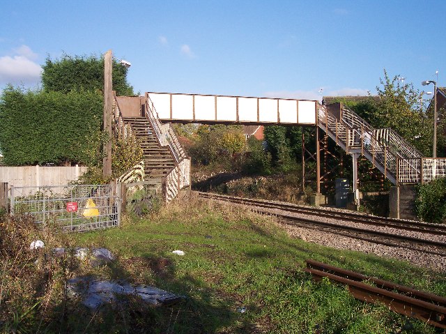
Fernhill Heath railway station
Fernhill Heath railway station was an intermediate railway station on the Oxford, Worcester and Wolverhampton Railway between Worcester (Tunnel Junction...
Fernhill Heath
Fernhill Heath is a village in Worcestershire, England. It is in the civil parish of North Claines in Wychavon district. Fernhill Heath is located on the...
Martin Hussingtree
Martin Hussingtree is a small village situated between Droitwich Spa and Worcester in the county of Worcestershire, England. It is north of another village...
Nearby Amenities
Located within 500m of 52.225747,-2.1724564Have you been to New Covert?
Leave your review of New Covert below (or comments, questions and feedback).