Cold Norton Gorse
Wood, Forest in Staffordshire Stafford
England
Cold Norton Gorse
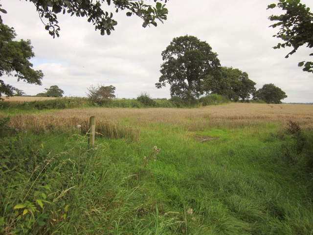
Cold Norton Gorse is a picturesque woodland area located in Staffordshire, England. Spread across an expansive area, it is known for its dense coverage of gorse bushes, which give the place its unique name. The gorse bushes, with their vibrant yellow flowers, create a stunning contrast against the green foliage of the surrounding trees.
The woodland is characterized by a variety of tree species, including oak, birch, and beech. These trees provide a rich habitat for a diverse range of wildlife. Visitors to Cold Norton Gorse may have the opportunity to spot various bird species, such as woodpeckers and song thrushes, as well as small mammals like squirrels and hedgehogs.
The woodland itself is crisscrossed with a network of footpaths, making it an ideal location for hikers and nature enthusiasts. These paths wind through the trees, offering visitors the chance to explore the area and enjoy the peacefulness of the natural surroundings. The gorse bushes also provide a natural barrier, creating secluded areas within the woodland for those seeking tranquility.
One of the standout features of Cold Norton Gorse is the presence of a small stream that meanders through the woodland. This stream adds to the beauty of the area and provides a source of water for the surrounding flora and fauna.
Overall, Cold Norton Gorse is a stunning woodland in Staffordshire, offering visitors the chance to immerse themselves in nature and enjoy the beauty of the British countryside. With its diverse range of wildlife, picturesque footpaths, and unique gorse bushes, it is a must-visit destination for anyone seeking a peaceful escape from the hustle and bustle of everyday life.
If you have any feedback on the listing, please let us know in the comments section below.
Cold Norton Gorse Images
Images are sourced within 2km of 52.882756/-2.1764376 or Grid Reference SJ8831. Thanks to Geograph Open Source API. All images are credited.


Cold Norton Gorse is located at Grid Ref: SJ8831 (Lat: 52.882756, Lng: -2.1764376)
Administrative County: Staffordshire
District: Stafford
Police Authority: Staffordshire
What 3 Words
///rolled.functions.tribe. Near Stone, Staffordshire
Nearby Locations
Related Wikis

Stafford services
Stafford services is a pair of motorway service stations on the M6 motorway near Stone, Staffordshire, England. In August 2011 it was rated as 4 stars...

Stone Dominoes F.C.
Stone Dominoes Football Club is a football club based in Stone, Staffordshire. They play at Wellbeing Park. == History == The club was established in 1987...
Stone Old Alleynians F.C.
Stone Old Alleynians Football Club is a football club based in the town of Stone, Staffordshire, England. The club plays in the Midland League Premier...
Yarnfield
Yarnfield is a village in Staffordshire, England. Population details as taken in the 2011 census can be found under Swynnerton It is considered part of...
Stone Rural District
Stone Rural District was a rural district in Staffordshire, England. It was created in 1894 and abolished by virtue of the Local Government Act 1972 in...
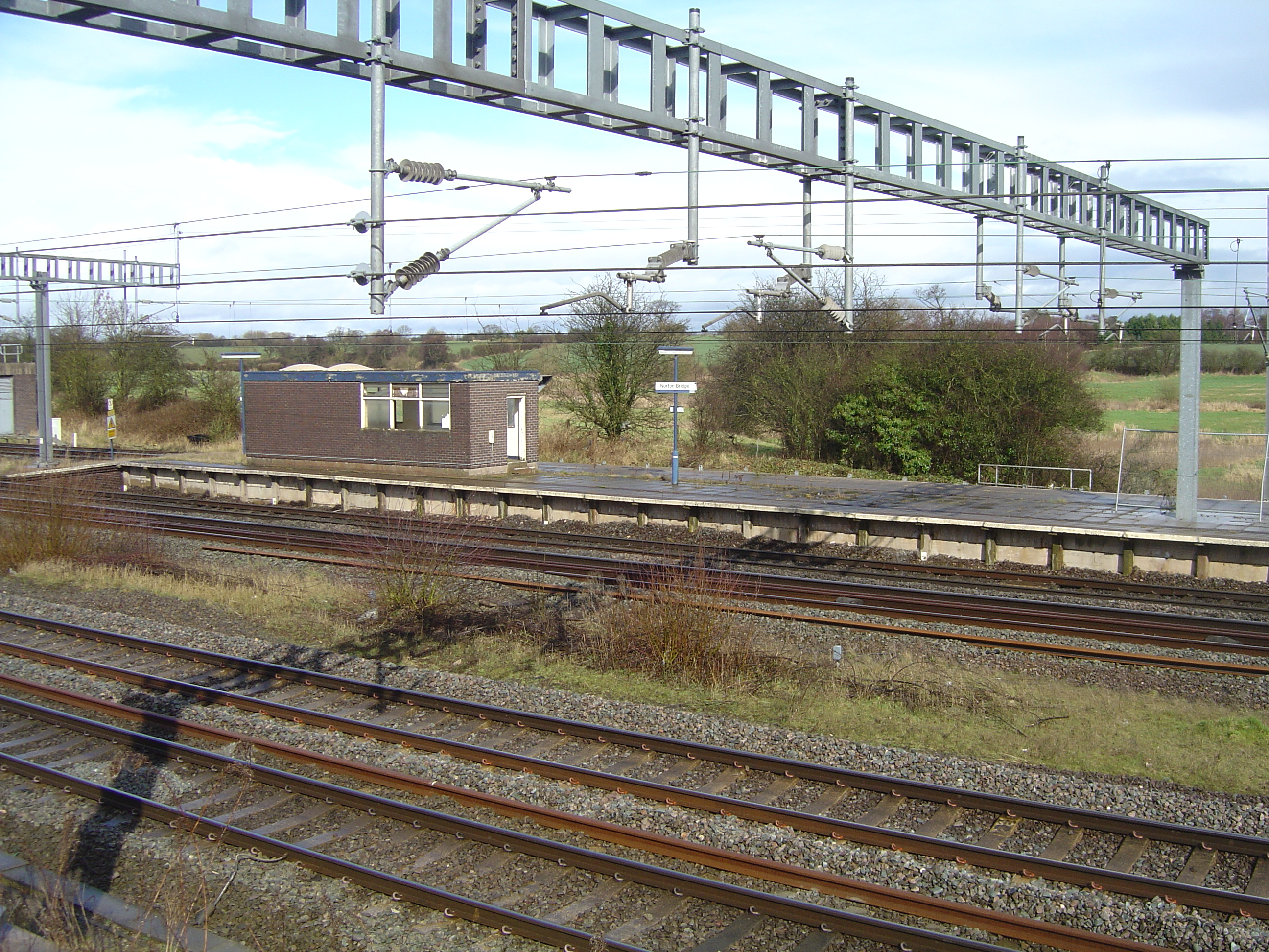
Norton Bridge railway station
Norton Bridge railway station was a railway station located on the West Coast Main Line and served both the village of Norton Bridge and the town of Eccleshall...
Norton Bridge, Staffordshire
Norton Bridge is a village in Staffordshire, England. Until May 2004 it was served by Norton Bridge railway station. == Amenities == At present, Norton...

Stone, Staffordshire
Stone is a market town and civil parish in Staffordshire, England, situated approximately 7 miles (11 km) north of the county town of Stafford, 7 miles...
Nearby Amenities
Located within 500m of 52.882756,-2.1764376Have you been to Cold Norton Gorse?
Leave your review of Cold Norton Gorse below (or comments, questions and feedback).