Skelda Wood
Wood, Forest in Yorkshire Craven
England
Skelda Wood
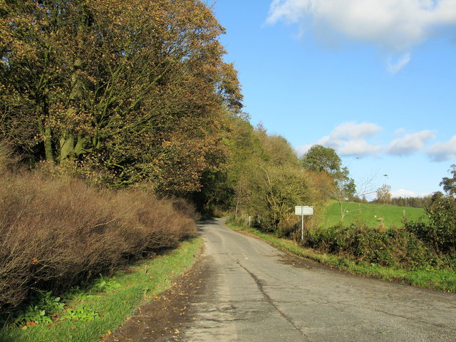
Skelda Wood is a picturesque woodland area located in the county of Yorkshire, England. Spread across an expansive area, the wood is known for its abundant natural beauty and diverse ecosystem. It is situated near the village of Skelda, and its tranquil surroundings make it a popular destination for nature enthusiasts and hikers.
The woodland is predominantly composed of native tree species such as oak, beech, and ash, which create a dense canopy overhead. The lush undergrowth is home to a variety of flora, including bluebells, wild garlic, and ferns, which add a vibrant touch to the woodland floor, especially during the spring season.
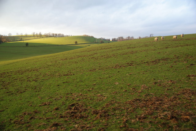
Skelda Wood is also renowned for its rich biodiversity. The forest provides a habitat for numerous woodland creatures, such as squirrels, rabbits, and a wide array of bird species, including woodpeckers and owls. The peaceful environment of the wood allows visitors to observe these animals in their natural habitat and enjoy the harmonious sounds of nature.
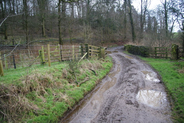
The woodland offers several walking trails and paths, allowing visitors to explore its beauty at their own pace. These well-maintained routes enable hikers to experience the tranquility of the woodland while enjoying the stunning views it has to offer. Additionally, there are designated picnic areas where visitors can relax and enjoy a meal surrounded by the serene atmosphere of the forest.
Skelda Wood is a true treasure of Yorkshire, offering a serene retreat from the hustle and bustle of daily life. Whether it's a leisurely stroll or a more adventurous hike, this idyllic woodland provides an immersive experience in nature for all who visit.
If you have any feedback on the listing, please let us know in the comments section below.
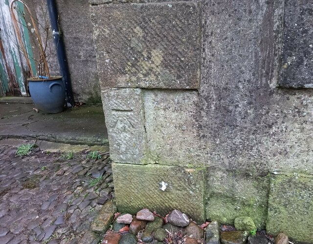
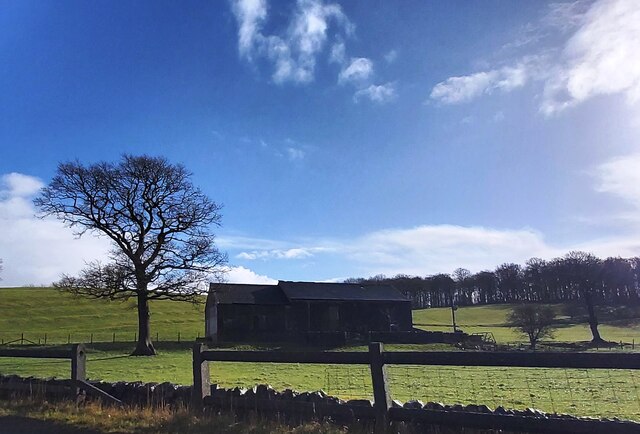
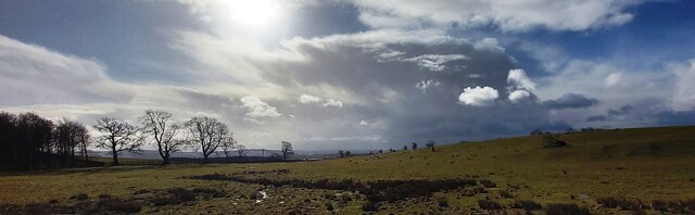
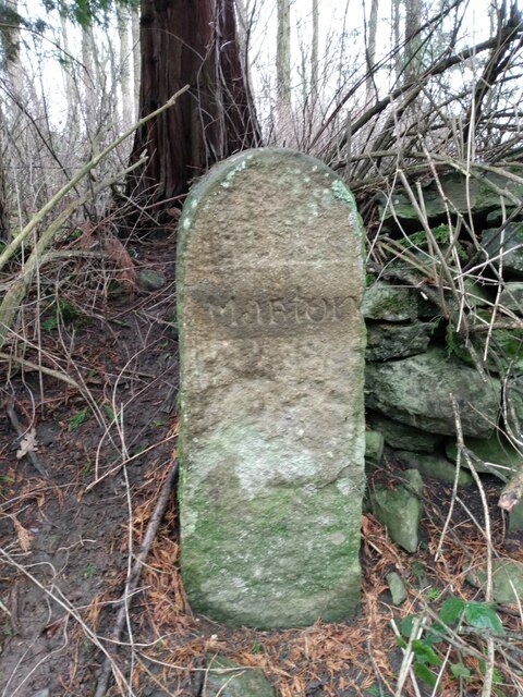
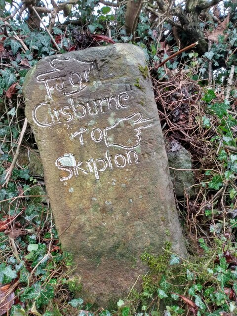
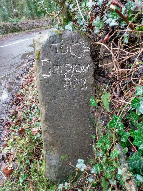
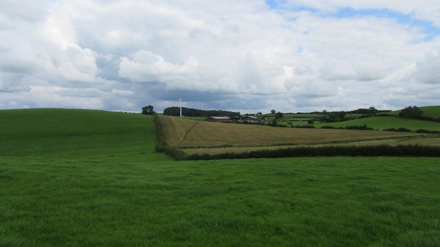
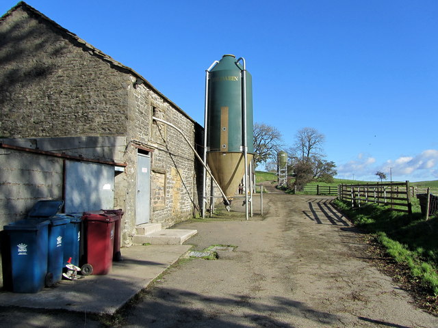
Skelda Wood Images
Images are sourced within 2km of 53.956955/-2.1846511 or Grid Reference SD8751. Thanks to Geograph Open Source API. All images are credited.


Skelda Wood is located at Grid Ref: SD8751 (Lat: 53.956955, Lng: -2.1846511)
Division: West Riding
Administrative County: North Yorkshire
District: Craven
Police Authority: North Yorkshire
What 3 Words
///stood.bristle.mats. Near Barnoldswick, Lancashire
Nearby Locations
Related Wikis

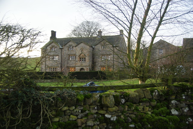
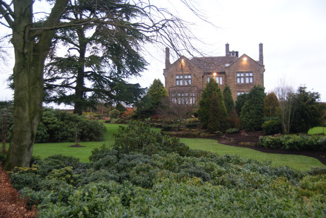
Gledstone Hall
Gledstone Hall is a 20th-century country house in West Marton, near Skipton, North Yorkshire, England. Designed by Edwin Lutyens it stands in a 12-hectare...

Martons Both
Martons Both is a civil parish in the Craven district of North Yorkshire, England. The civil parish is formed by the villages of East Marton and West Marton...
West Marton
West Marton is a village in the Craven district of North Yorkshire, England. It is on the A59 road about 6.5 miles (10.5 km) west of the market town of...

Horton, Lancashire
Horton, historically known as Horton-in-Craven, is a village and a civil parish in the Ribble Valley district of the English county of Lancashire (historically...
Nearby Amenities
Located within 500m of 53.956955,-2.1846511Have you been to Skelda Wood?
Leave your review of Skelda Wood below (or comments, questions and feedback).