King's Wood

Wood, Forest in Worcestershire Wychavon

England

King's Wood

The door of Doverdale church
The door of Doverdale church Credit: Jeff Gogarty

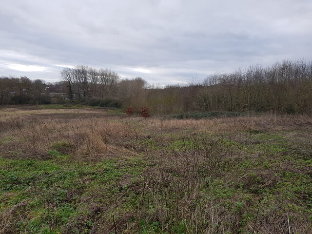
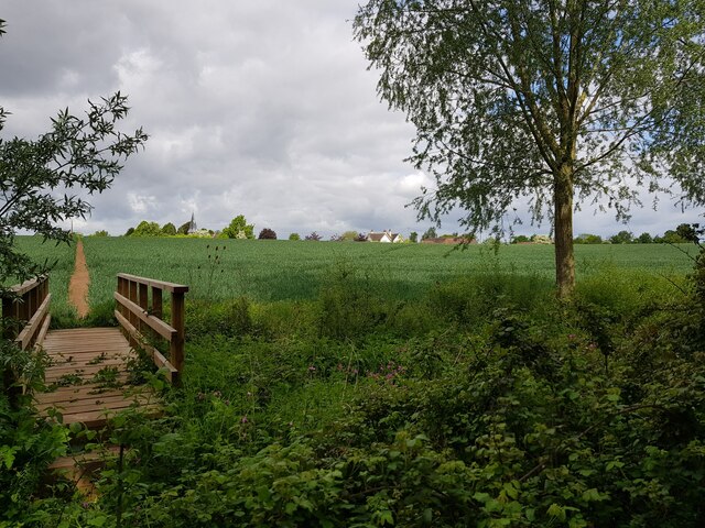
King's Wood is a sprawling forest located in the county of Worcestershire, England. Covering an area of approximately 1,200 acres, it is one of the largest woodlands in the region. The forest is situated near the town of Bewdley and lies within the Wyre Forest District.

The wood is predominantly made up of broadleaf trees, with oak, beech, and birch being the most prominent species. These towering trees create a dense canopy, providing a habitat for a diverse range of wildlife. Numerous bird species, including woodpeckers and owls, can be spotted here, and the forest is also home to small mammals such as foxes, badgers, and squirrels.

King's Wood has a rich history that dates back centuries. The name itself is believed to have originated from the time when the area was a royal hunting ground, frequented by kings and nobility for game hunting. Today, the forest retains its natural beauty and is managed by the Forestry Commission.

A network of well-maintained trails and footpaths crisscrosses the wood, making it a popular destination for walkers, hikers, and nature enthusiasts. Visitors can explore the forest and enjoy its tranquil ambiance while immersing themselves in the sights and sounds of nature. The wood is also a favored spot for picnics and family outings, providing ample space for recreational activities.

Overall, King's Wood is a picturesque woodland, offering a haven for wildlife and a peaceful retreat for individuals seeking solace in nature. Its historical significance and natural charm make it a cherished asset of Worcestershire's countryside.

If you have any feedback on the listing, please let us know in the comments section below.
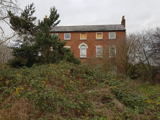
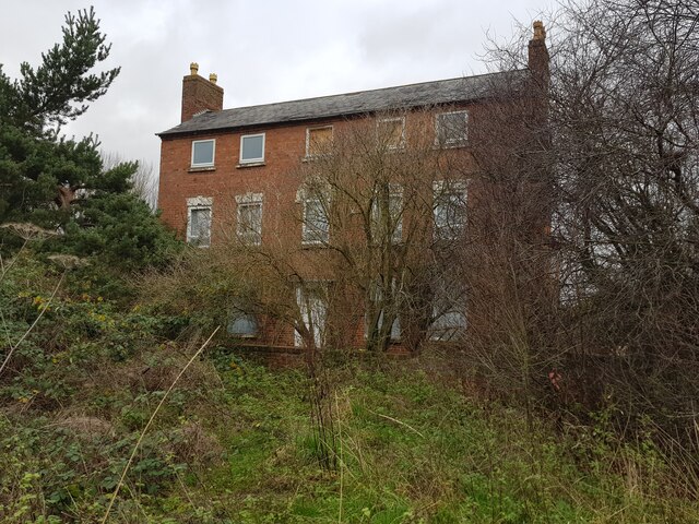
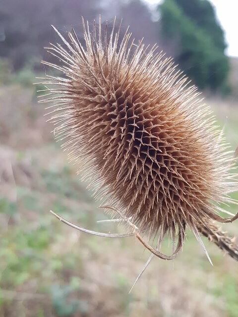
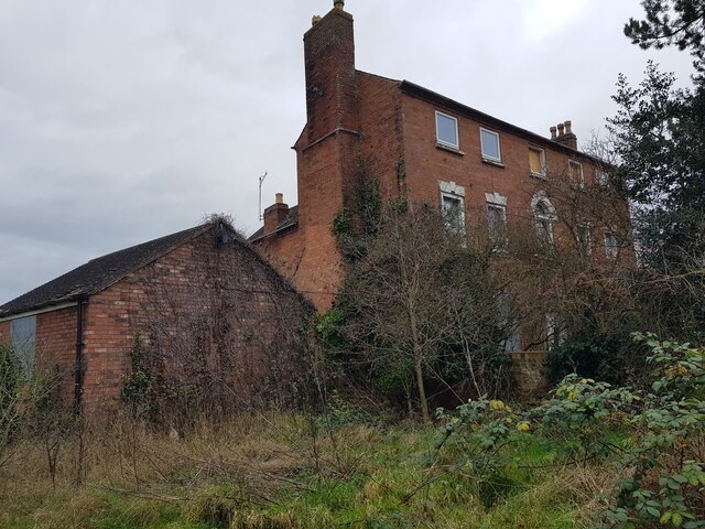
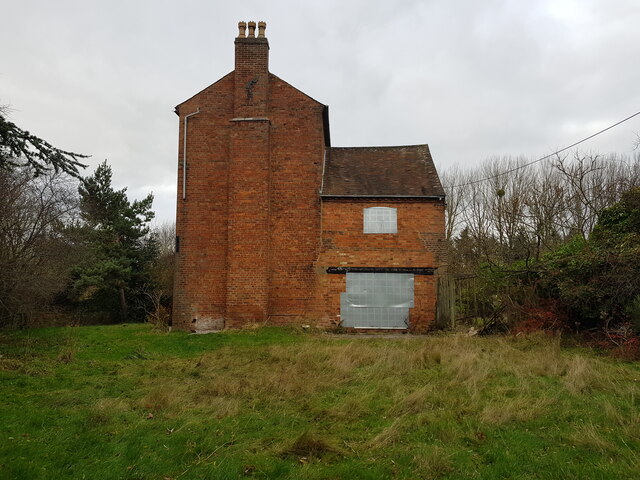
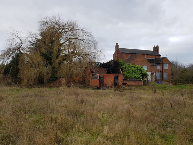
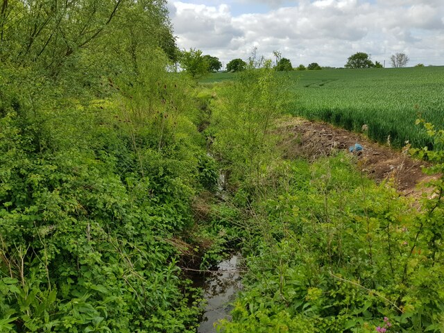
King's Wood Images

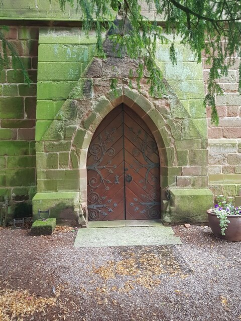
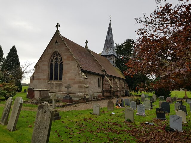
Images are sourced within 2km of 52.294309/-2.1776496 or Grid Reference SO8766. Thanks to Geograph Open Source API. All images are credited.

The door of Doverdale church
Church of St Mary, Doverdale (from the North East)
Autumn colour, Doverdale churchyard
Sundial, Doverdale church
Church of St Mary, Doverdale (from the South East)
St Mary's Doverdale from the car park
Jakeman's Hill Farm (1) Between Droitwich and the Hampton Lovett Industrial Estate.
Jakeman's Hill Farm (1)
Between Droitwich and the Hampton Lovett Industrial Estate.
Westlands estate Droitwich from Jakeman's Hill
Jakeman's Hill Farm (2)
Jakeman's Hill Farm (3)
Looking over Elmbridge Brook from Jakeman's Hill This is looking in the opposite direction to <a href="https://www.geograph.org.uk/photo/4577909">SO8864 : Jakeman's Hill Farm, Hampton Lovett from Stoney Bridge</a>.
Looking over Elmbridge Brook from Jakeman's Hill
This is looking in the opposite direction to SO8864 : Jakeman's Hill Farm, Hampton Lovett from Stoney Bridge.
Teasel at Jakeman's Hill, Droitwich
Jakeman's Hill Farm (4)
Jakeman's Hill Farm (5)
Jakeman's Hill Farm (6) The fire in the damaged building was the previous night.
Jakeman's Hill Farm (6)
The fire in the damaged building was the previous night.
Vax on Stonebridge Cross Business Park
Ditch with stream, near Church Farm, Doverdale
Footbridge and footpath through crops, Doverdale The spire of Doverdale Church <a href="https://www.geograph.org.uk/photo/5136945">SO8666 : St Mary's Church, Doverdale</a> can just be made out to the right of the path.
Footbridge and footpath through crops, Doverdale
The spire of Doverdale Church SO8666 : St Mary's Church, Doverdale can just be made out to the right of the path.
Show me another place!

King's Wood is located at Grid Ref: SO8766 (Lat: 52.294309, Lng: -2.1776496)

Administrative County: Worcestershire

District: Wychavon

Police Authority: West Mercia

What 3 Words

///mocking.butchers.rips. Near Droitwich, Worcestershire

Related Wikis

Hampton Lovett

Hampton Lovett is a village and civil parish in the Wychavon district of the county of Worcestershire, England. It is just north of Droitwich. The church...

Cutnall Green Halt railway station

Cutnall Green Halt was a railway station in Worcestershire, England, serving the nearby village of Hampton Lovett on the Oxford, Worcester and Wolverhampton...
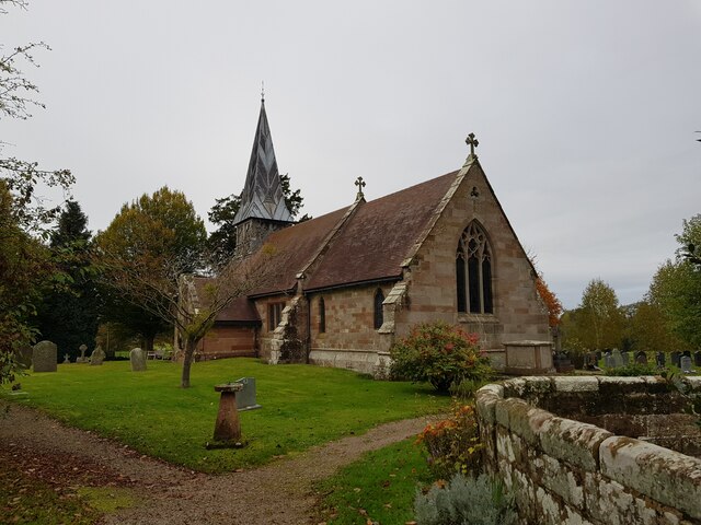
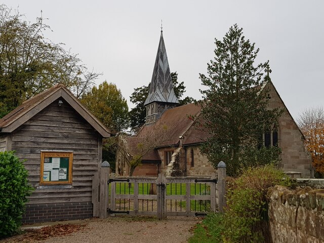
Doverdale

Doverdale is a small village and civil parish in Worcestershire, England, to the west of Droitwich. It has a parish church. Doverdale Manor is one of largest...

Snead's Green

Snead's Green, sometimes written Sneads Green, is an area of Droitwich Spa, Worcestershire, England.Francis Moule, of Snead's Green House, sold the manorial...

Nearby Amenities

Located within 500m of 52.294309,-2.1776496
Power: tower
Source: bing
Lat/Long: 52.2930071/-2.1726439
Power: tower
Source: bing
Lat/Long: 52.2919611/-2.1768534
Power: tower
Source: bing
Lat/Long: 52.2909533/-2.1809585
Power: pole
Lat/Long: 52.2919438/-2.1718393
Power: pole
Lat/Long: 52.2924633/-2.1723435
Power: pole
Lat/Long: 52.2930347/-2.172929
Power: pole
Lat/Long: 52.2935185/-2.1737502
Power: pole
Lat/Long: 52.294007/-2.1746357
Power: pole
Lat/Long: 52.2944963/-2.1755071
Power: pole
Lat/Long: 52.2949645/-2.1763941
Power: pole
Lat/Long: 52.2954524/-2.1772354
Fixme: continue
Lat/Long: 52.2956222/-2.1784723
Power: pole
Lat/Long: 52.2959239/-2.1780771
Power: pole
Lat/Long: 52.296156/-2.1791837
Fixme: continue
Lat/Long: 52.2961649/-2.1776678
Power: pole
Lat/Long: 52.2964079/-2.1803947
Power: pole
Lat/Long: 52.2966497/-2.1815671
Power: pole
Lat/Long: 52.2969174/-2.1828601
Power: pole
Lat/Long: 52.2925996/-2.170923
Power: pole
Lat/Long: 52.2908754/-2.1731794
Power: pole
Lat/Long: 52.291758/-2.1727127
The data included in this document is from www.openstreetmap.org. The data is made available under ODbL.

Have you been to King's Wood?

Leave your review of King's Wood below (or comments, questions and feedback).