Critchmere
Settlement in Surrey Waverley
England
Critchmere

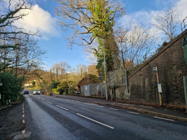
Critchmere is a small village located in the county of Surrey, England. Situated approximately 3 miles south of the market town of Farnham, Critchmere is nestled in the Surrey Hills Area of Outstanding Natural Beauty. The village is surrounded by picturesque countryside, offering stunning views and a tranquil atmosphere.
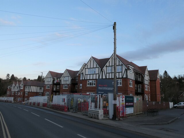
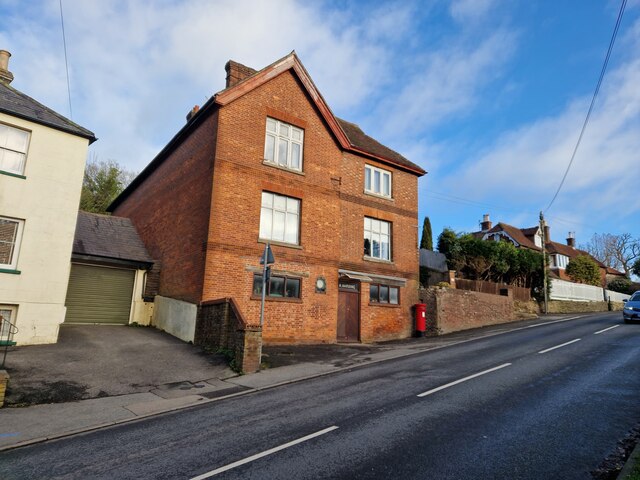
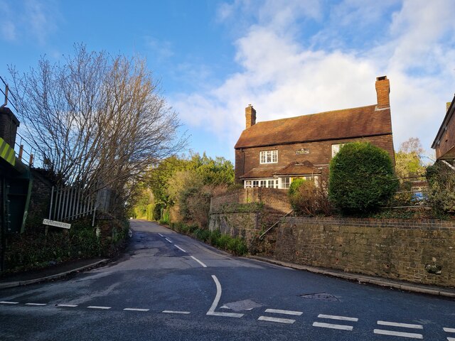
Critchmere is known for its rural charm and idyllic setting. The village is primarily residential, with a mix of traditional cottages, farmhouses, and newer properties. The community is close-knit, and residents enjoy a friendly and welcoming atmosphere.
The village benefits from its proximity to Farnham, which provides a range of amenities such as shops, supermarkets, schools, and healthcare facilities. Farnham also offers excellent transport links, with a mainline train station providing direct services to London Waterloo in under an hour.
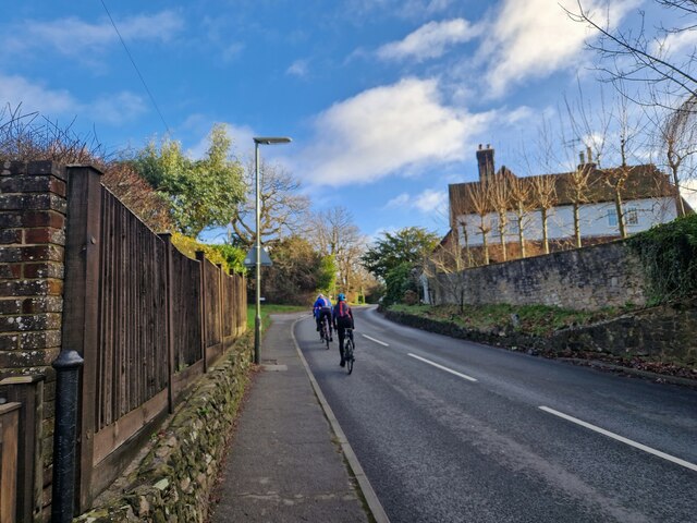
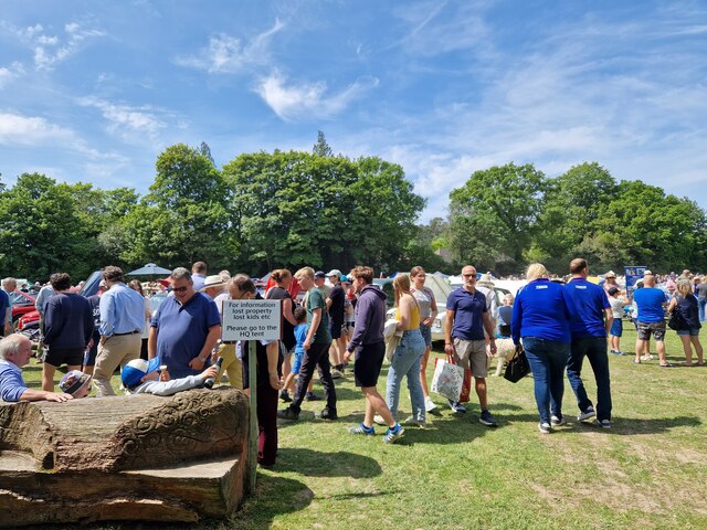
For nature enthusiasts, Critchmere offers ample opportunities for outdoor activities. The surrounding countryside is crisscrossed with footpaths and bridleways, making it ideal for walking, cycling, and horse riding. The nearby Bourne Wood is a popular destination for nature lovers, boasting a diverse range of flora and fauna.
Critchmere is also within easy reach of several tourist attractions and landmarks. The historic town of Guildford is a short drive away, offering a wealth of cultural and historical sites. The famous Frensham Ponds, with their sandy beaches and clear waters, are also nearby and provide a great spot for picnics and water-based activities.
In summary, Critchmere is a charming village in Surrey, offering a peaceful and picturesque setting, with easy access to amenities and beautiful countryside. It is an ideal place for those seeking a rural retreat while remaining close to urban conveniences.
If you have any feedback on the listing, please let us know in the comments section below.
Critchmere Images
Images are sourced within 2km of 51.090109/-0.741848 or Grid Reference SU8833. Thanks to Geograph Open Source API. All images are credited.


Critchmere is located at Grid Ref: SU8833 (Lat: 51.090109, Lng: -0.741848)
Administrative County: Surrey
District: Waverley
Police Authority: Surrey
What 3 Words
///corporate.cleanest.gangway. Near Haslemere, Surrey
Nearby Locations
Related Wikis

Woolmer Hill
Woolmer Hill is an area of high ground in the south-west corner of Surrey, England in the Borough of Waverley abutting Hampshire to the west and West Sussex...
Woolmer Hill School
Woolmer Hill School, formerly Woolmer Hill Technology College, is the main secondary school in the area of Haslemere, Surrey. == Funding == A non-fee paying...
Shottermill & Haslemere F.C.
Shottermill & Haslemere Football Club is a football club based in Haslemere, Surrey, England. The club are currently members of the Surrey Intermediate...

Hammer Bottom
Hammer Bottom or Hammer Vale is a hamlet in the civil parish of Bramshott and Liphook, in the East Hampshire district in the county of Hampshire, England...
Amesbury School
Amesbury School is a co-educational independent prep school in the Hindhead/Haslemere area of Surrey, England, educating pupils between the ages of 9 months...
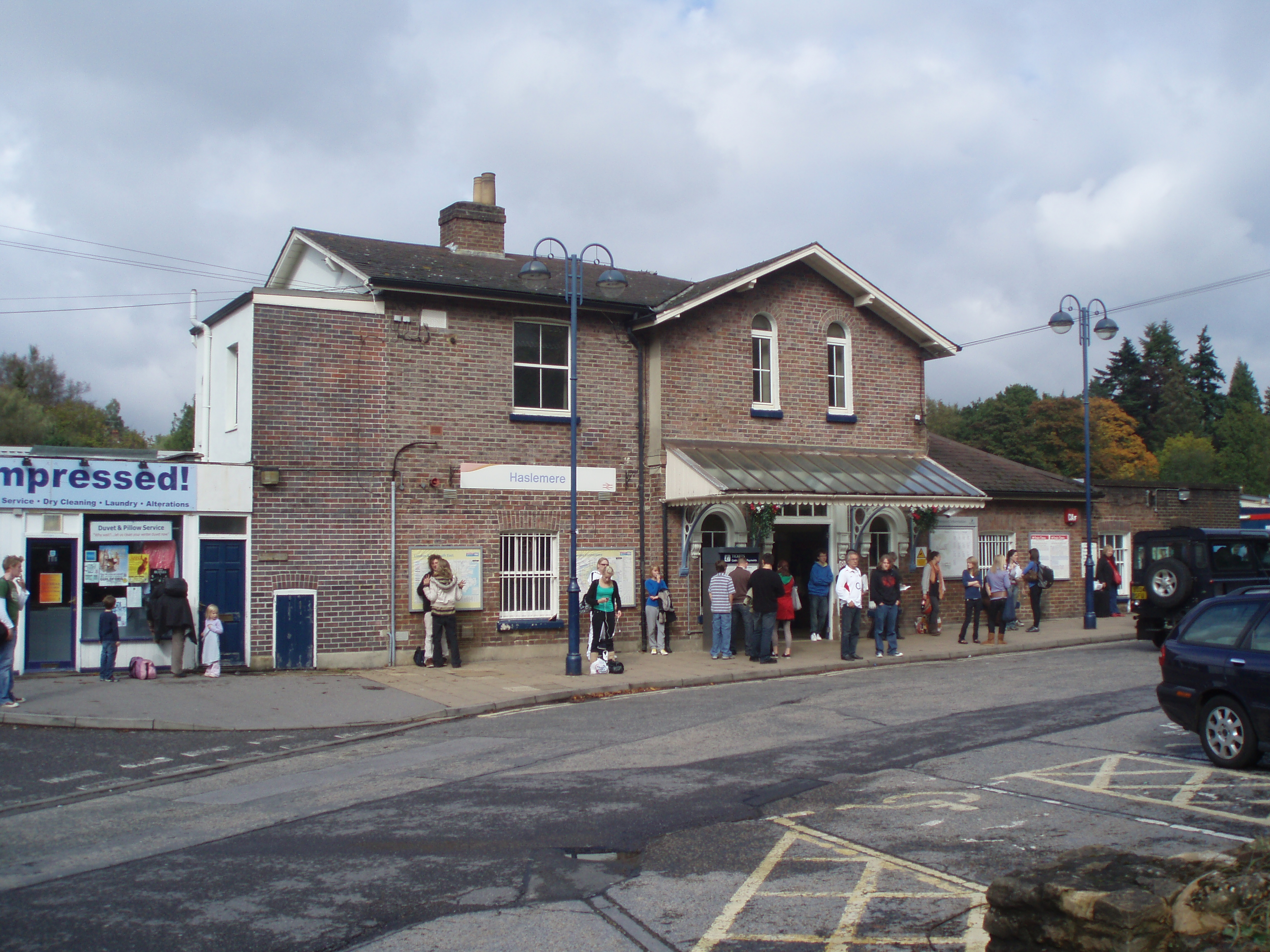
Haslemere railway station
Haslemere railway station is on the Portsmouth Direct Line, serving the town of Haslemere, Surrey, England. It is 42 miles 79 chains (69.2 km) down the...

St Edmund's School, Hindhead
St Edmund's School is a coeducational nursery, pre-prep, preparatory and senior school located in Hindhead, Surrey, around 10.5 miles south-west from the...

Haslemere Educational Museum
Haslemere Educational Museum was founded in 1888 by the eminent surgeon Sir Jonathan Hutchinson to display his growing collection of natural history specimens...
Nearby Amenities
Located within 500m of 51.090109,-0.741848Have you been to Critchmere?
Leave your review of Critchmere below (or comments, questions and feedback).