Kimerley Wood
Wood, Forest in Dorset
England
Kimerley Wood
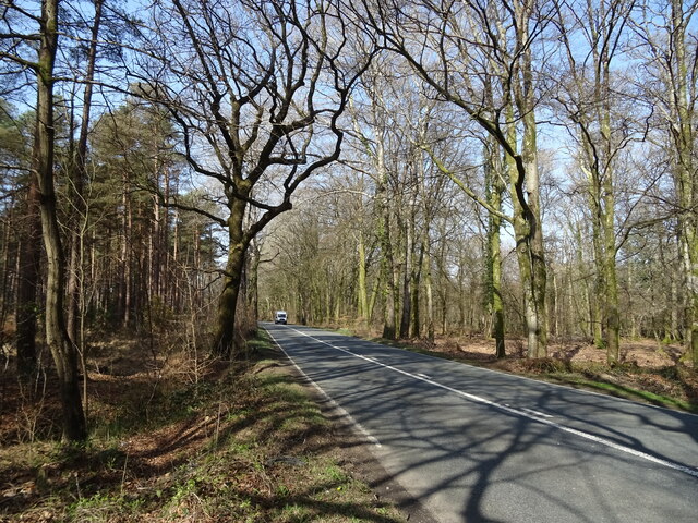
Kimberley Wood is a charming forest located in the county of Dorset, England. Situated near the village of Kimmeridge, the wood covers an area of approximately 15 hectares (37 acres) and is renowned for its natural beauty and diverse wildlife.
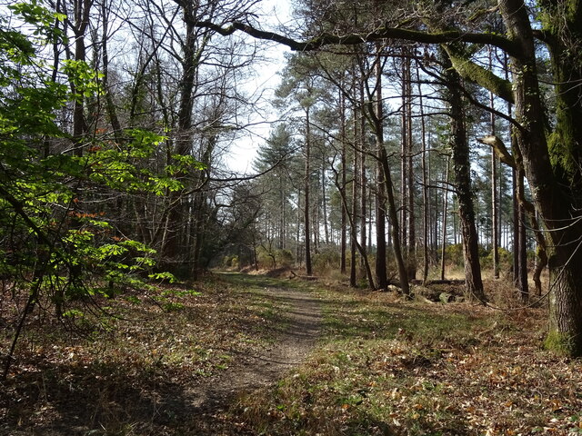
The wood is predominantly composed of mixed broadleaf trees, including oak, beech, and ash, which create a picturesque canopy overhead. The forest floor is adorned with a rich carpet of bluebells during the spring, creating a stunning display of color. In addition to the bluebells, the wood is also home to a variety of other wildflowers, such as primroses and wood anemones.
Kimmerley Wood is a haven for nature enthusiasts and birdwatchers, as it provides a habitat for numerous bird species. Visitors may be fortunate enough to spot woodland birds such as woodpeckers, nuthatches, and tawny owls. The wood is also home to a thriving population of butterflies, which can be seen fluttering among the trees during the warmer months.
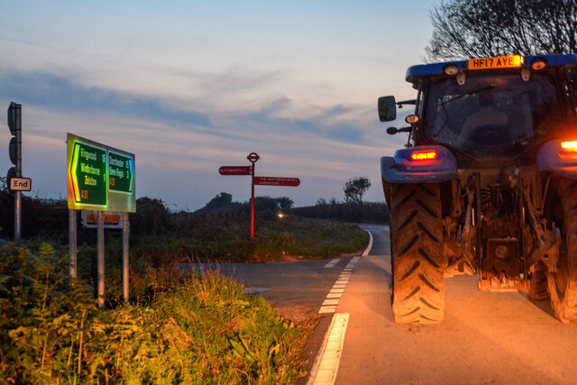
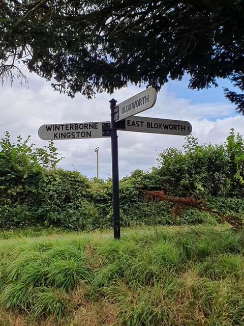
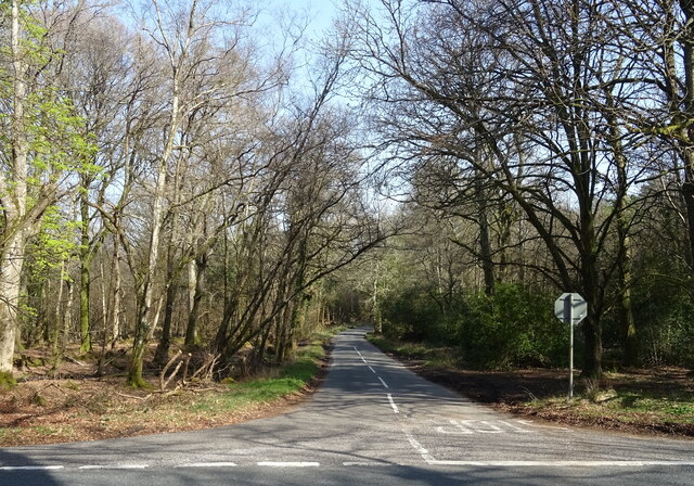
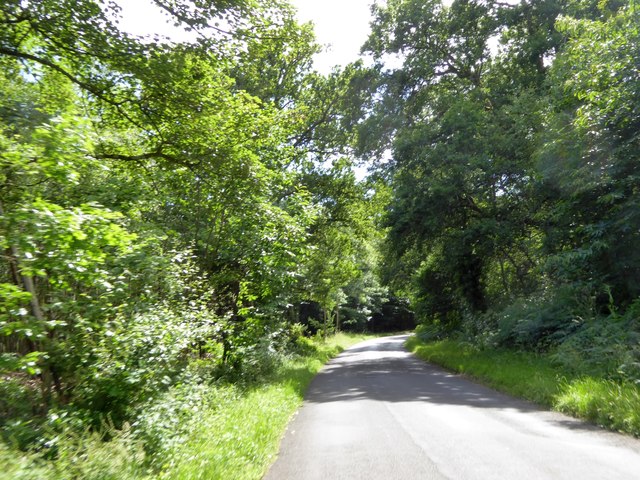
The wood is open to the public and offers a network of well-maintained footpaths, allowing visitors to explore its natural wonders. These paths meander through the forest, providing opportunities for peaceful walks and picnics amidst the tranquility of nature.
With its serene atmosphere and abundance of wildlife, Kimberley Wood offers a delightful escape from the hustle and bustle of daily life. Whether it's a leisurely stroll or a birdwatching adventure, the wood promises a truly enchanting experience for all who visit.
If you have any feedback on the listing, please let us know in the comments section below.
Kimerley Wood Images
Images are sourced within 2km of 50.757795/-2.1798269 or Grid Reference SY8795. Thanks to Geograph Open Source API. All images are credited.


Kimerley Wood is located at Grid Ref: SY8795 (Lat: 50.757795, Lng: -2.1798269)
Unitary Authority: Dorset
Police Authority: Dorset
What 3 Words
///broadcast.organisms.panics. Near Bere Regis, Dorset
Nearby Locations
Related Wikis

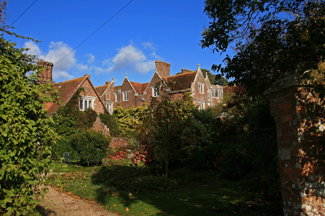
Bloxworth House
Bloxworth House is a Grade I listed manor house just northwest of the village of Bloxworth in Dorset, England. It was built in 1608 by George Savage and...

Bloxworth
Bloxworth is a village and civil parish in the English county of Dorset, within Wareham Forest on the A35 road 5 miles (8 km) west of Poole. In the 2011...

Woodbury Hill, Dorset
Woodbury Hill is a hill near Bere Regis in Dorset, England. It is the site of an Iron Age hillfort (a scheduled monument), and the location of an annual...
Anderson, Dorset
Anderson, sometimes known as Winterborne Anderson, is a small village and civil parish in Dorset, England, situated in the North Dorset administrative...

Winterborne Muston
Winterborne Muston is a village in Dorset, England. The first name of "Winterborne" comes from the River Winterborne, which flows from west to east through...
Bere Regis Hundred
Bere Regis Hundred was a hundred in the county of Dorset, England, containing the following parishes: Bere Regis Winterborne KingstonMilborne Stileham...
Winterborne Tomson
Winterborne Tomson is a village and former civil parish, now in the parish of Anderson, in the Dorset, district, in the ceremonial county of Dorset, England...

St Andrew's Church, Winterborne Tomson
St Andrew's Church in Winterborne Tomson, Dorset, England, was built in the 12th century. It is recorded in the National Heritage List for England as a...
Nearby Amenities
Located within 500m of 50.757795,-2.1798269Have you been to Kimerley Wood?
Leave your review of Kimerley Wood below (or comments, questions and feedback).