Fell Plantation
Wood, Forest in Northumberland
England
Fell Plantation
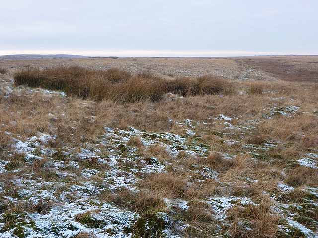
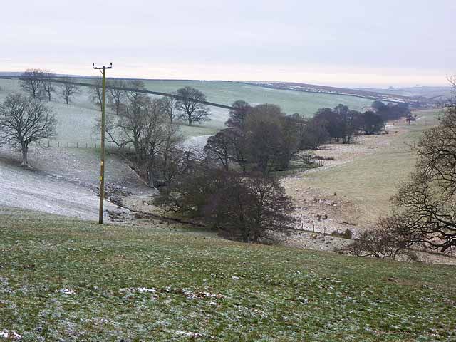
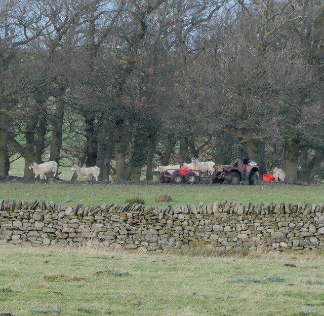
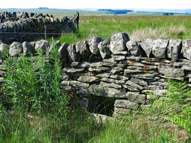
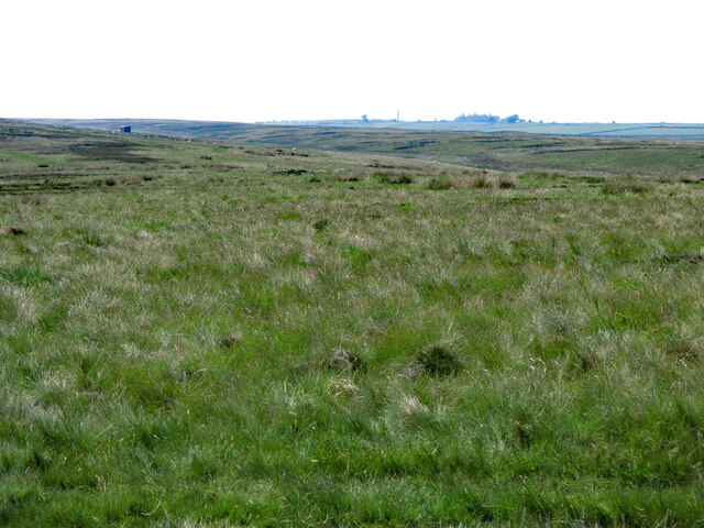
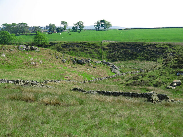
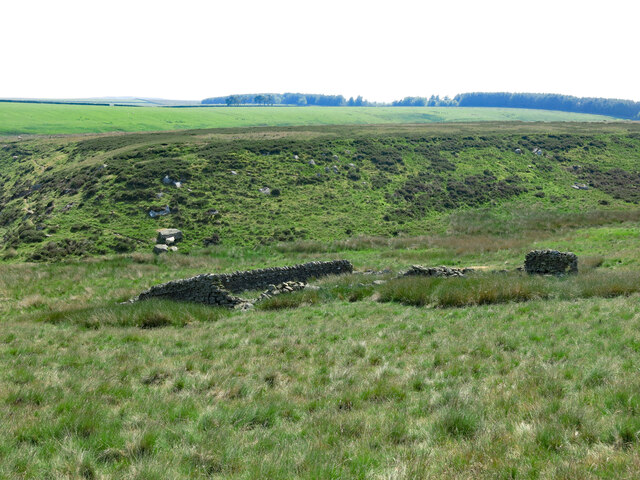
Fell Plantation is a vast woodland area located in Northumberland, England. Covering an extensive area of approximately 500 acres, it is a stunning example of a well-preserved forest with a diverse range of plant and animal species.
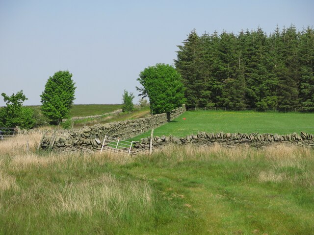
The plantation is characterized by its dense growth of various tree species, including oak, beech, and pine. These tall, majestic trees provide a canopy that offers shade and shelter to the numerous wildlife species that call Fell Plantation their home. The forest floor is covered with a thick carpet of moss and ferns, creating a lush and picturesque environment.
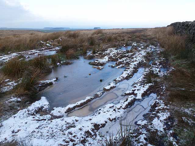
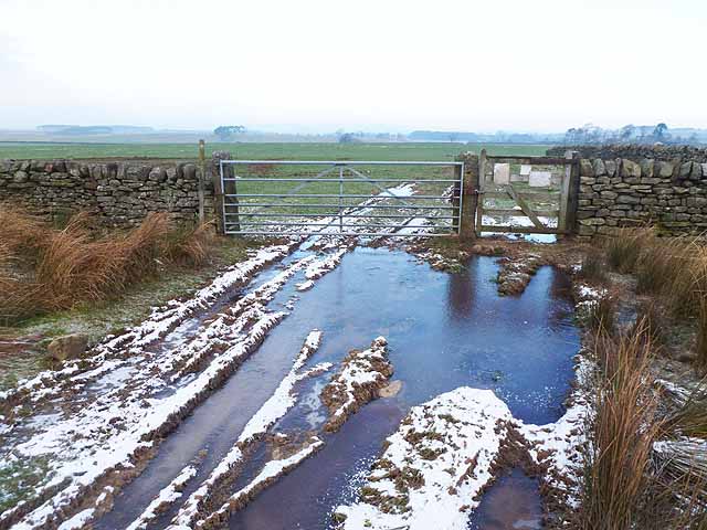
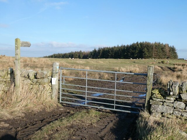
Nature enthusiasts and hikers are drawn to Fell Plantation due to its network of well-maintained trails that meander through the woodland. These trails offer visitors the opportunity to explore the plantation's beauty while observing the abundant wildlife, such as deer, foxes, and a wide variety of bird species. The plantation is also home to several rare and protected species, making it an important conservation area.
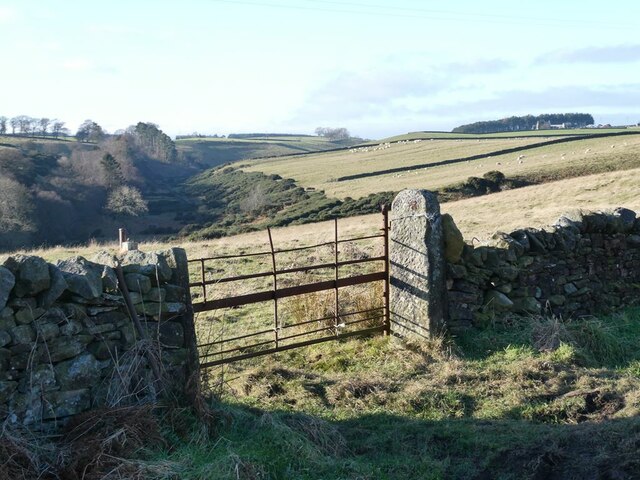
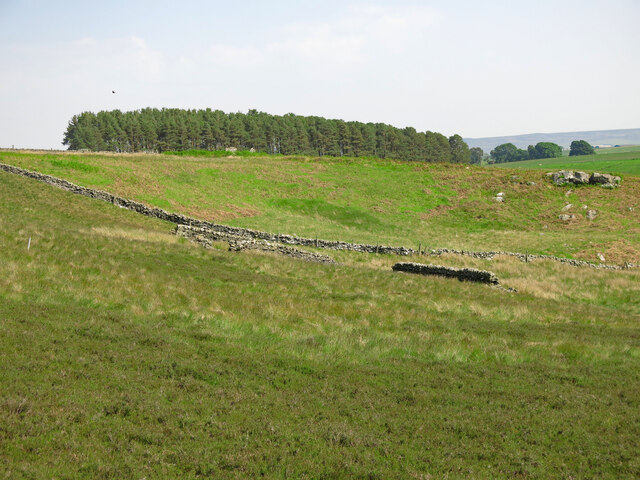
In addition to its natural beauty, Fell Plantation has historical significance. It has been a part of the local landscape for centuries and was once used for timber production. Today, remnants of old logging tracks can still be seen, adding to the plantation's charm and historical value.
Fell Plantation, with its breathtaking scenery and rich biodiversity, is not only a haven for nature lovers but also a vital ecosystem that contributes to the region's ecological balance. It stands as a testament to the importance of preserving and appreciating the natural treasures that Northumberland has to offer.
If you have any feedback on the listing, please let us know in the comments section below.
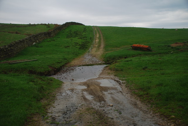
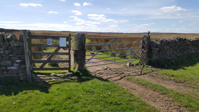
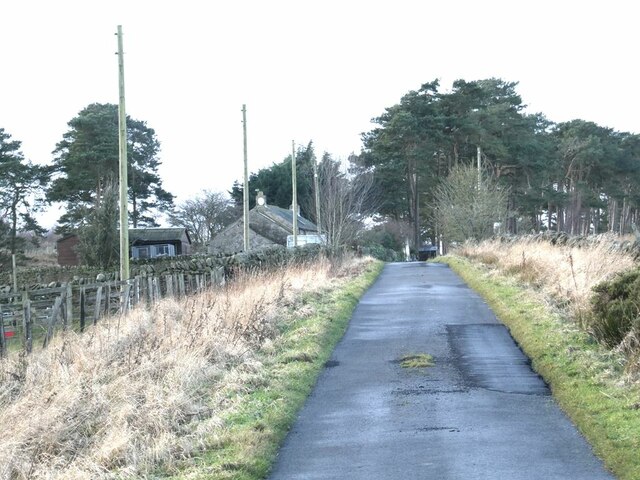
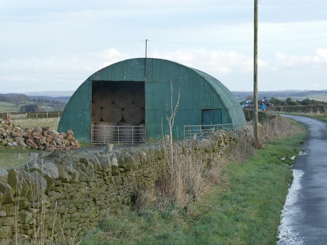
Fell Plantation Images
Images are sourced within 2km of 54.927341/-2.1981251 or Grid Reference NY8759. Thanks to Geograph Open Source API. All images are credited.
Fell Plantation is located at Grid Ref: NY8759 (Lat: 54.927341, Lng: -2.1981251)
Unitary Authority: Northumberland
Police Authority: Northumbria
What 3 Words
///confining.apparatus.rocker. Near Haydon Bridge, Northumberland
Nearby Locations
Related Wikis

Elrington Halt railway station
Elrington Halt station is a closed stone-built railway station situated on a single-track branch railway line in Northumberland, England, that runs from...

Allendale railway station
Allendale railway station was the terminus of the single track branch of the Hexham and Allendale Railway, in north east England. The line connected villages...
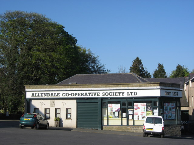
Allendale Co-operative Society
Allendale Co-operative Society is a small consumer co-operative in the village of Allendale, Northumberland, England. Founded in 1874 as the Allendale...

Langley-on-Tyne railway station
Langley-on-Tyne is a closed stone built railway station situated on a single track branch railway line in Northumberland, England, that ran from Allendale...
Have you been to Fell Plantation?
Leave your review of Fell Plantation below (or comments, questions and feedback).