Ballast Clump
Wood, Forest in Gloucestershire Cotswold
England
Ballast Clump
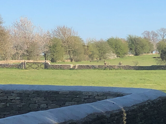
Ballast Clump is a picturesque woodland area located in the county of Gloucestershire, England. Situated within the larger Forest of Dean, this wooded area is known for its natural beauty and tranquil atmosphere.
Covering an area of approximately 100 acres, Ballast Clump is characterized by its dense vegetation, consisting mainly of oak, beech, and birch trees. These towering trees create a lush canopy that provides shade and shelter for a diverse range of flora and fauna. The forest floor is carpeted with a variety of wildflowers, ferns, and mosses, adding to the area's enchanting allure.
The woodland is crisscrossed by several well-maintained footpaths and trails, allowing visitors to explore its hidden nooks and crannies. These paths lead to a small pond nestled within the woodland, which attracts a plethora of bird species, making it a popular spot for birdwatching enthusiasts.
Ballast Clump offers a peaceful retreat for nature lovers and outdoor enthusiasts alike. The forest's tranquility is enhanced by the absence of vehicular traffic, making it an ideal destination for those seeking a break from the hustle and bustle of daily life.
Managed by the Forestry Commission, Ballast Clump is open to the public throughout the year. Visitors can enjoy activities such as hiking, photography, and simply immersing themselves in the beauty of nature. The forest's accessibility, combined with its stunning natural features, makes Ballast Clump a beloved destination for locals and tourists seeking solace in Gloucestershire's woodland charm.
If you have any feedback on the listing, please let us know in the comments section below.
Ballast Clump Images
Images are sourced within 2km of 51.603707/-2.1842074 or Grid Reference ST8789. Thanks to Geograph Open Source API. All images are credited.


Ballast Clump is located at Grid Ref: ST8789 (Lat: 51.603707, Lng: -2.1842074)
Administrative County: Gloucestershire
District: Cotswold
Police Authority: Gloucestershire
What 3 Words
///online.overture.frames. Near Sherston, Wiltshire
Nearby Locations
Related Wikis
Westonbirt School
Westonbirt School is a co-educational independent day and boarding school for boys and girls aged 11 to 18 located near Tetbury in Gloucestershire in South...

Westonbirt House
Westonbirt House is a country house in Gloucestershire, England, about 3 miles (5 km) southwest of the town of Tetbury. It belonged to the Holford family...
Shipton Moyne
Shipton Moyne is a village and civil parish in the Cotswold district of Gloucestershire, England, approximately 105 miles west of London. Its nearest towns...

Easton Grey
Easton Grey is a small village and civil parish in north Wiltshire, England, on the county boundary with Gloucestershire. The village lies just south of...
Doughton Manor
Doughton Manor is a country house in Doughton, in the civil parish of Tetbury Upton, in the Cotswold district of Gloucestershire, England. It is recorded...
Highgrove House
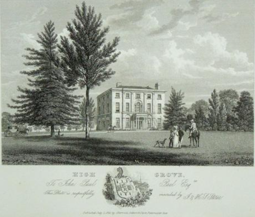
Highgrove House is the family residence of King Charles III and Queen Camilla. It lies southwest of Tetbury in Gloucestershire, England. Built in the late...

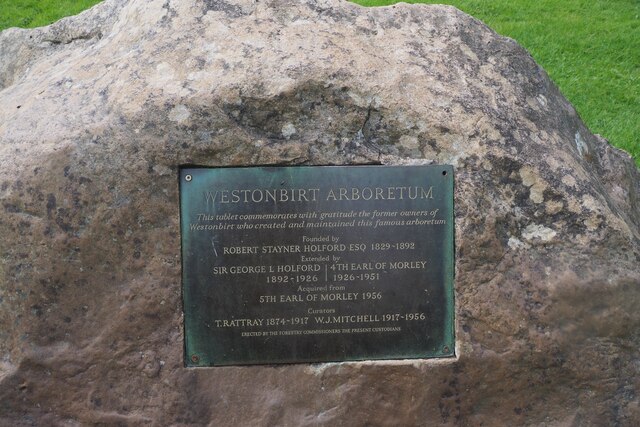
Westonbirt Arboretum
Westonbirt, The National Arboretum is an arboretum in Gloucestershire, England, about 3 miles (5 km) southwest of the town of Tetbury. Managed by Forestry...

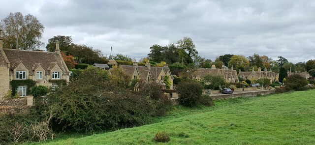
Westonbirt
Westonbirt is a village in the civil parish of Westonbirt with Lasborough, in the district of Cotswold, in the county of Gloucestershire, England. ��2...
Nearby Amenities
Located within 500m of 51.603707,-2.1842074Have you been to Ballast Clump?
Leave your review of Ballast Clump below (or comments, questions and feedback).