Brock's Plantation

Wood, Forest in Wiltshire

England

Brock's Plantation

Track to Semley Gates Crossing The white gate of the level crossing can just be seen between the houses.
Track to Semley Gates Crossing Credit: David Martin

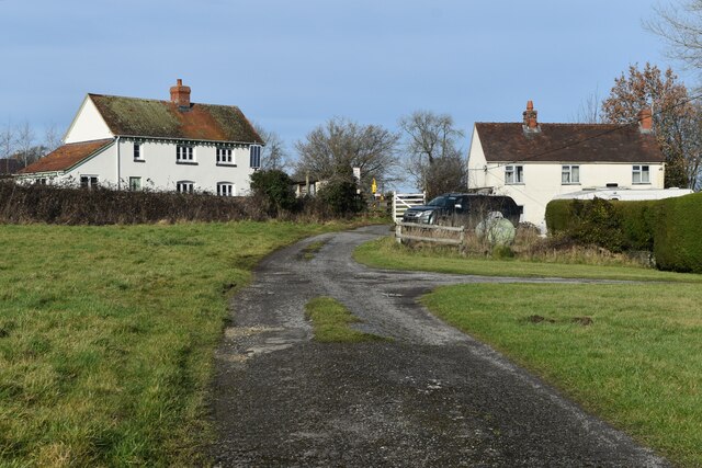
Brock's Plantation, located in Wiltshire, England, is a picturesque woodland area known for its natural beauty and diverse flora and fauna. Situated in the heart of the county, the plantation covers a substantial area and is a popular destination for nature enthusiasts and hikers alike.

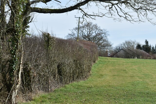
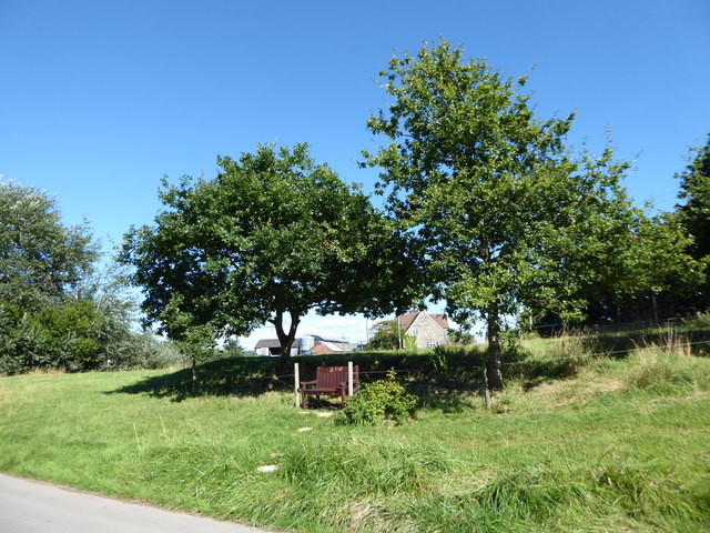
The plantation is predominantly composed of dense woodlands, characterized by a variety of tree species, including oak, beech, and pine. These trees create a vibrant and lush canopy that provides shade and shelter for the numerous plant and animal species that call the area home. The forest floor is covered in a rich carpet of mosses, ferns, and wildflowers, further enhancing the plantation's natural charm.

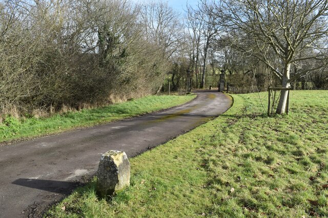
Visitors to Brock's Plantation can explore the area through a network of well-maintained walking trails that wind their way through the woodland. These trails offer breathtaking views of the surrounding countryside and provide opportunities to spot a diverse range of wildlife, including deer, foxes, and numerous bird species.

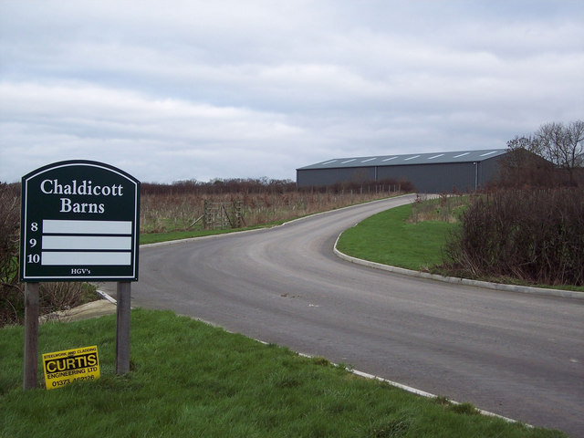
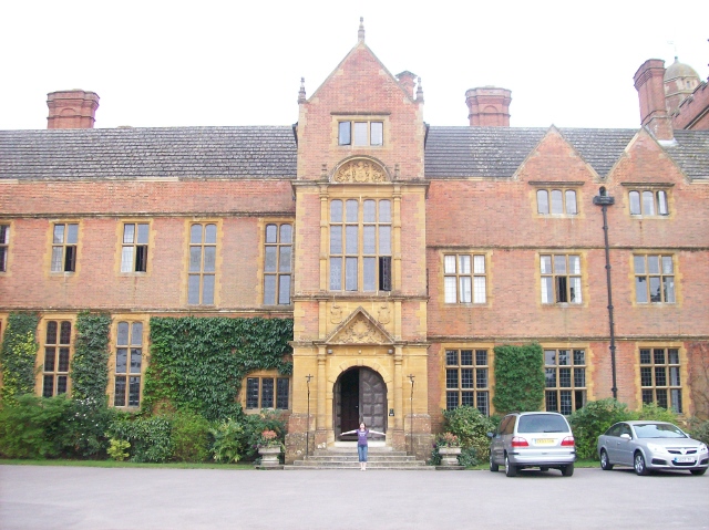
In addition to its natural beauty, Brock's Plantation also holds historical significance. It is believed that the area was once part of a larger estate and that remnants of an ancient manor house can still be found within the plantation. These historical elements add an additional layer of intrigue to the site, attracting history enthusiasts and archaeologists.

Overall, Brock's Plantation in Wiltshire is a captivating woodland area that offers visitors an opportunity to immerse themselves in nature, explore its diverse ecosystems, and appreciate its historical significance. It serves as a haven for both local wildlife and humans seeking tranquility and a connection to the natural world.

If you have any feedback on the listing, please let us know in the comments section below.

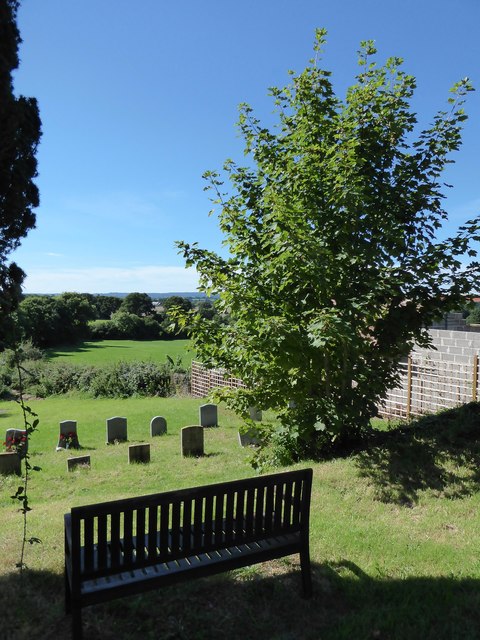
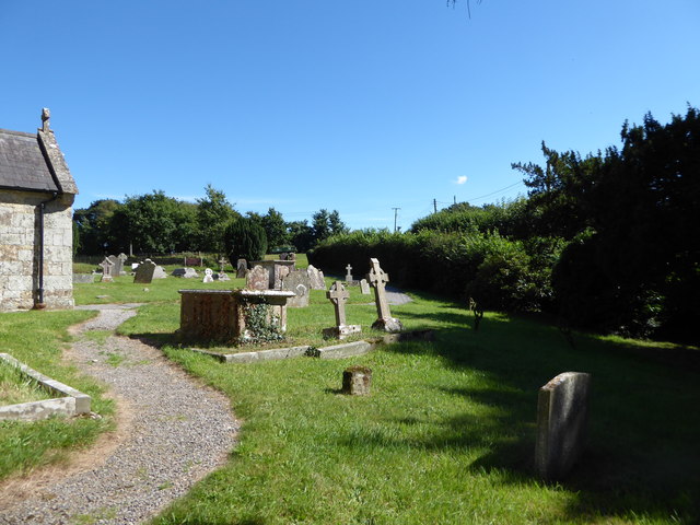
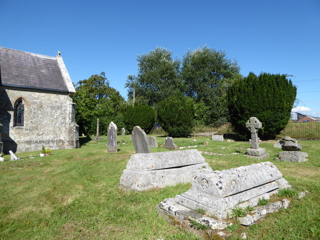
Brock's Plantation Images

Images are sourced within 2km of 51.036432/-2.1863957 or Grid Reference ST8726. Thanks to Geograph Open Source API. All images are credited.

Track to Semley Gates Crossing The white gate of the level crossing can just be seen between the houses.
Track to Semley Gates Crossing
The white gate of the level crossing can just be seen between the houses.
Footpath and drive to The Grange, Semley The footpath turns off to the left by the post and crosses the stream by a small bridge.
Footpath and drive to The Grange, Semley
The footpath turns off to the left by the post and crosses the stream by a small bridge.
Field edge footpath near Glebe Farm
St Catherine, Sedgehill: late August 2016
Rush hour in Sedgehill
St Catherine, Sedgehill: churchyard (1)
St Catherine, Sedgehill: churchyard (2)
St Catherine, Sedgehill: churchyard (3) Also see <span class="nowrap"><a title="https://en.wikipedia.org/wiki/Priscilla_Napier" rel="nofollow ugc noopener" href="https://en.wikipedia.org/wiki/Priscilla_Napier">Link</a><img style="margin-left:2px;" alt="External link" title="External link - shift click to open in new window" src="https://s1.geograph.org.uk/img/external.png" width="10" height="10"/></span> <span class="nowrap"><a title="http://uboat.net/allies/commanders/1815.html" rel="nofollow ugc noopener" href="http://uboat.net/allies/commanders/1815.html">Link</a><img style="margin-left:2px;" alt="External link" title="External link - shift click to open in new window" src="https://s1.geograph.org.uk/img/external.png" width="10" height="10"/></span> and <span class="nowrap"><a title="http://www.cwgc.org/find-war-dead/casualty/2710207/NAPIER,%20TREVYLYAN%20MICHAEL" rel="nofollow ugc noopener" href="http://www.cwgc.org/find-war-dead/casualty/2710207/NAPIER,%20TREVYLYAN%20MICHAEL">Link</a><img style="margin-left:2px;" alt="External link" title="External link - shift click to open in new window" src="https://s1.geograph.org.uk/img/external.png" width="10" height="10"/></span>
St Catherine, Sedgehill: churchyard (3)
Also see LinkExternal link LinkExternal link and LinkExternal link
St Catherine, Sedgehill: churchyard (4)
St Catherine, Sedgehill: churchyard (5) Also see <span class="nowrap"><a title="http://www.cwgc.org/find-war-dead/casualty/405789/GRAY,%20E%20C" rel="nofollow ugc noopener" href="http://www.cwgc.org/find-war-dead/casualty/405789/GRAY,%20E%20C">Link</a><img style="margin-left:2px;" alt="External link" title="External link - shift click to open in new window" src="https://s1.geograph.org.uk/img/external.png" width="10" height="10"/></span>
St Catherine, Sedgehill: churchyard (5)
Also see LinkExternal link
Old Milestone by the A350, Sedgehill and Semley Parish Carved stone post by the A350, in parish of SEDGEHILL AND SEMLEY (SALISBURY District), 200m North of turning to Sedgehill on verge, by the road, on East side of road. Shaston stone, erected by the Shaftesbury & New Road to Blandford turnpike trust in the 18th century. 

Inscription reads:-
: (SEDGEHILL) : : III / Miles from / SHA(S)TON / 1766 : : (SEDGEHILL) : 

Grade II listed. List Entry Number: 1131126
<span class="nowrap"><a title="https://historicengland.org.uk/listing/the-list/list-entry/1131126" rel="nofollow ugc noopener" href="https://historicengland.org.uk/listing/the-list/list-entry/1131126">Link</a><img style="margin-left:2px;" alt="External link" title="External link - shift click to open in new window" src="https://s1.geograph.org.uk/img/external.png" width="10" height="10"/></span>

Milestone Society National ID: WI_WMSH12.
Old Milestone by the A350, Sedgehill and Semley Parish
Carved stone post by the A350, in parish of SEDGEHILL AND SEMLEY (SALISBURY District), 200m North of turning to Sedgehill on verge, by the road, on East side of road. Shaston stone, erected by the Shaftesbury & New Road to Blandford turnpike trust in the 18th century. Inscription reads:- : (SEDGEHILL) : : III / Miles from / SHA(S)TON / 1766 : : (SEDGEHILL) : Grade II listed. List Entry Number: 1131126 LinkExternal link Milestone Society National ID: WI_WMSH12.
Old Milestone by the A350, Semley Common Shaston stone by the A350, in parish of Sedgehill and Semley (Salisbury District), Semley Common, by the road.

Lost since 1970.

Inscription reads:-
II
Miles From
SHASTON
1766
(Shaston is the old name for Shaftesbury)

Milestone Society National ID: WI_WMSH13
Old Milestone by the A350, Semley Common
Shaston stone by the A350, in parish of Sedgehill and Semley (Salisbury District), Semley Common, by the road. Lost since 1970. Inscription reads:- II Miles From SHASTON 1766 (Shaston is the old name for Shaftesbury) Milestone Society National ID: WI_WMSH13
Old Milestone by the A350, Semley Road, north of Shaftesbury Carved stone post by the A350, in parish of DONHEAD ST MARY (SALISBURY District), Semley Road, Shaftesbury; 30m North of lay-by outside reservoir, by the road, on East side of road. Dorset 3 (limestone), erected by the Shaftesbury & New Road to Blandford turnpike trust in the 18th century. 

Inscription reads:-
: (DO)NHEAD / (ST MARY) : : 1 / Mile From / SHASTON / XIII To / BLANDFORD / 1766 : : DONHEAD / ST (MARY) :
Carved benchmark bottom right of front face.

Milestone Society National ID: WI_WMSH14.
Old Milestone by the A350, Semley Road, north of Shaftesbury
Carved stone post by the A350, in parish of DONHEAD ST MARY (SALISBURY District), Semley Road, Shaftesbury; 30m North of lay-by outside reservoir, by the road, on East side of road. Dorset 3 (limestone), erected by the Shaftesbury & New Road to Blandford turnpike trust in the 18th century. Inscription reads:- : (DO)NHEAD / (ST MARY) : : 1 / Mile From / SHASTON / XIII To / BLANDFORD / 1766 : : DONHEAD / ST (MARY) : Carved benchmark bottom right of front face. Milestone Society National ID: WI_WMSH14.
North Gate Toll House, Shaftesbury Toll House by the A350, Grosvenor Road, in the parish of Shaftesbury (North Dorset District), at entrance to Travis Perkins Builders Yard, Littledown, SP7.

Demolished after October 2011.

Surveyed

Milestone Society National ID: DO.SHA01
North Gate Toll House, Shaftesbury
Toll House by the A350, Grosvenor Road, in the parish of Shaftesbury (North Dorset District), at entrance to Travis Perkins Builders Yard, Littledown, SP7. Demolished after October 2011. Surveyed Milestone Society National ID: DO.SHA01
Sedgehill Church Ancient Church of Sedgehill view from the Green
Sedgehill Church
Ancient Church of Sedgehill view from the Green
Builders Flytip Found just off the A350 Shaftesbury to Warminster Road, on the lane towards Donhead St Mary.
Builders Flytip
Found just off the A350 Shaftesbury to Warminster Road, on the lane towards Donhead St Mary.
Grazing Donkeys at Semley Common These donkeys are about forty years old and have grazed on the common for most of their lives.  The srapyard is in the background.
Grazing Donkeys at Semley Common
These donkeys are about forty years old and have grazed on the common for most of their lives. The srapyard is in the background.
Barn Workshops at Chaldicott Farm
Show me another place!

Brock's Plantation is located at Grid Ref: ST8726 (Lat: 51.036432, Lng: -2.1863957)

Unitary Authority: Wiltshire

Police Authority: Wiltshire

What 3 Words

///vent.lousy.cubs. Near Motcombe, Dorset

Nearby Locations

Brock's Plantation

Related Wikis

Semley railway station

Semley was a railway station in Wiltshire, England. It was served by trains on the West of England Main Line and was the railhead for the town of Shaftesbury...

Sedgehill and Semley

Sedgehill and Semley is a civil parish in the English county of Wiltshire, about 3 miles (4.8 km) north of the town of Shaftesbury on the main A350 road...

Sedgehill

Sedgehill is a small village and former civil parish, now in the parish of Sedgehill and Semley, in the southwest of the county of Wiltshire, England....

Semley

Semley is a village and former civil parish, now in the parish of Sedgehill and Semley, in Wiltshire, England, about 3 miles (4.8 km) north-east of Shaftesbury...

Motcombe

Motcombe is a village and civil parish in north Dorset, England. It lies about two miles (three kilometres) north of Shaftesbury. It is sited on Kimmeridge...

Higher Wincombe

Higher Wincombe is a farm and small hamlet in the parish of Donhead St Mary, Wiltshire, England. It lies at the head of the Nadder Valley, just beyond...

Gutch Common

Gutch Common (grid reference ST896259) is a 35.1 hectare biological Site of Special Scientific Interest in Wiltshire, notified in 1951. == Sources == Natural...

Port Regis School

Port Regis School is a co-educational preparatory school located in 140 acres of parkland on the Dorset-Wiltshire border in southern England, situated...

Nearby Amenities

Located within 500m of 51.036432,-2.1863957
Material: wood
Power: pole
Source: bing
Lat/Long: 51.0348692/-2.1852644
Material: wood
Power: pole
Source: bing
Lat/Long: 51.0344497/-2.1829125
Material: wood
Power: pole
Source: bing
Lat/Long: 51.0350268/-2.1835765
Material: wood
Power: pole
Source: bing
Lat/Long: 51.0354762/-2.1834716
Material: wood
Power: pole
Source: bing
Lat/Long: 51.0359087/-2.1833705
Material: wood
Power: pole
Source: bing
Lat/Long: 51.0359544/-2.1824148
Material: wood
Power: pole
Source: bing
Lat/Long: 51.0359898/-2.1812143
Material: wood
Power: pole
Source: bing
Lat/Long: 51.0367886/-2.1831561
Material: wood
Power: pole
Source: bing
Lat/Long: 51.0371171/-2.1835973
Material: wood
Power: pole
Source: bing
Lat/Long: 51.0383786/-2.1843035
Material: wood
Power: pole
Source: bing
Lat/Long: 51.0385944/-2.1851722
Material: wood
Power: pole
Source: bing
Lat/Long: 51.0388678/-2.1857997
Langfords Car Spares
Shop: trade
Trade: car_spares
Lat/Long: 51.0389729/-2.1843488
Power: tower
Source: bing
Lat/Long: 51.032568/-2.1848943
Material: wood
Power: pole
Source: bing
Lat/Long: 51.0332579/-2.1905001
Power: tower
Source: bing
Lat/Long: 51.0332849/-2.1880325
Power: tower
Source: bing
Lat/Long: 51.0339781/-2.1910393
Material: wood
Power: pole
Source: bing
Lat/Long: 51.0350745/-2.1909051
Material: wood
Power: pole
Source: bing
Lat/Long: 51.0356378/-2.18542
Material: wood
Power: pole
Source: bing
Lat/Long: 51.0356648/-2.1870857
Material: wood
Power: pole
Source: bing
Lat/Long: 51.0356851/-2.1910205
Material: wood
Power: pole
Source: bing
Lat/Long: 51.0357812/-2.1844115
Material: wood
Power: pole
Source: bing
Lat/Long: 51.0357998/-2.1880513
Material: wood
Power: pole
Source: bing
Lat/Long: 51.0359752/-2.1890196
Material: wood
Power: pole
Source: bing
Lat/Long: 51.0361253/-2.1900871
Material: wood
Power: pole
Source: bing
Lat/Long: 51.0362771/-2.1911921
Material: wood
Power: pole
Source: bing
Lat/Long: 51.0368219/-2.1920344
Material: wood
Power: pole
Source: bing
Lat/Long: 51.0373565/-2.1928766
The data included in this document is from www.openstreetmap.org. The data is made available under ODbL.

Have you been to Brock's Plantation?

Leave your review of Brock's Plantation below (or comments, questions and feedback).