Trows Plantation

Wood, Forest in Northumberland

England

Trows Plantation

Bridleway on Barrow Law Firm, frosted terrain encountered passing the lower slopes of Barrow Law.

This photograph was taken during the Coronavirus (COVID-19) pandemic of 2020/21/22.
Bridleway on Barrow Law Credit: James T M Towill

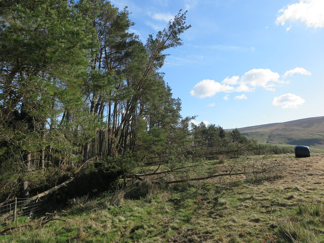
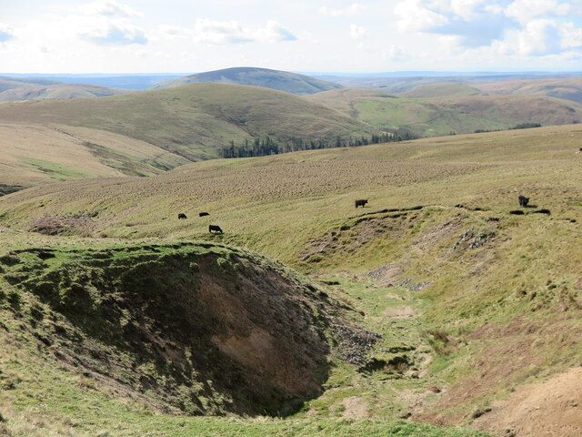
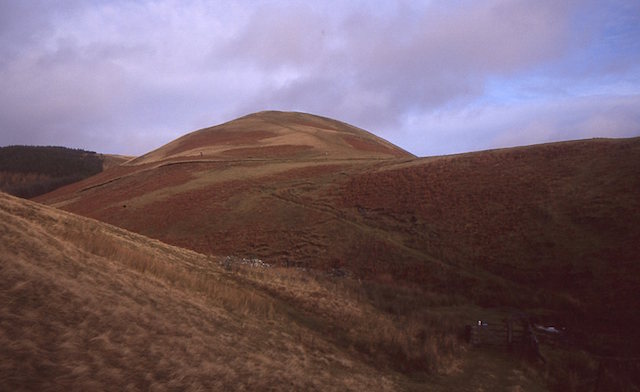
Trows Plantation is a picturesque woodland located in the county of Northumberland, England. Situated within the larger Kielder Forest, it covers an area of approximately 200 hectares and is renowned for its natural beauty and diverse flora and fauna.

The plantation is predominantly made up of native broadleaf trees such as oak, beech, birch, and ash, which create a dense canopy overhead. This canopy provides shelter and a habitat for a variety of wildlife species, including deer, red squirrels, and numerous bird species. The understory of the woodland is rich in ferns, mosses, and wildflowers, adding to its enchanting atmosphere.

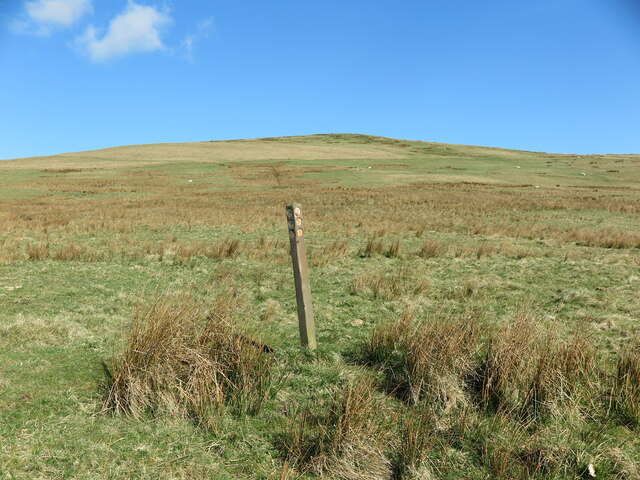
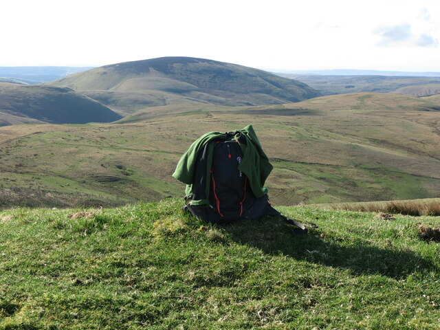
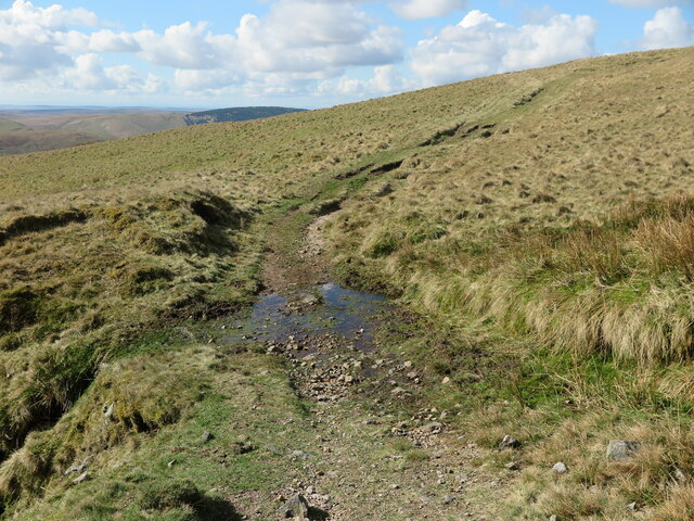
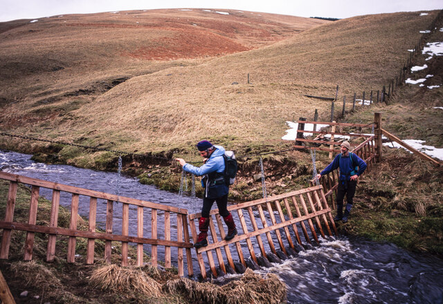
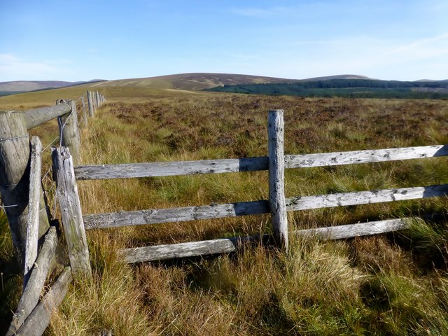
Trows Plantation is popular among nature enthusiasts, walkers, and cyclists who can explore the numerous trails that wind through the woodland. These trails offer stunning views of the surrounding Northumberland countryside and provide an excellent opportunity for visitors to immerse themselves in the tranquility of the forest.

As part of Kielder Forest, Trows Plantation is also managed for timber production, with sustainable forestry practices in place. This ensures a healthy and thriving woodland ecosystem while also supporting the local economy.

The plantation is easily accessible, with nearby parking facilities and well-maintained paths. Moreover, it benefits from its proximity to other attractions in Northumberland, such as Kielder Water and Forest Park, making it a popular destination for day trips and outdoor adventures.

In summary, Trows Plantation is a captivating woodland in Northumberland, offering a rich natural environment, recreational activities, and a chance to connect with nature in one of England's most beautiful regions.

If you have any feedback on the listing, please let us know in the comments section below.

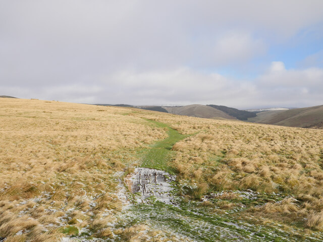
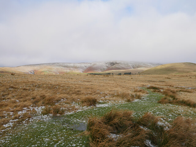
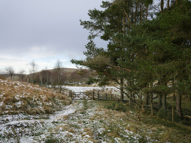
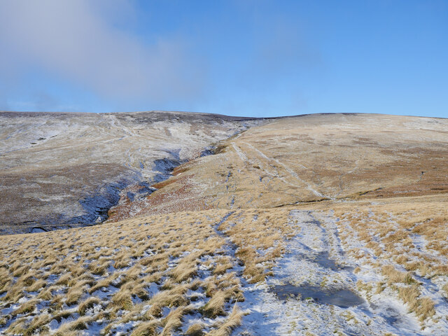
Trows Plantation Images

Images are sourced within 2km of 55.415298/-2.206755 or Grid Reference NT8713. Thanks to Geograph Open Source API. All images are credited.

Bridleway on Barrow Law Firm, frosted terrain encountered passing the lower slopes of Barrow Law.

This photograph was taken during the Coronavirus (COVID-19) pandemic of 2020/21/22.
Bridleway on Barrow Law
Firm, frosted terrain encountered passing the lower slopes of Barrow Law. This photograph was taken during the Coronavirus (COVID-19) pandemic of 2020/21/22.
Bridleway bound for Murder Cleugh Passing sleet showers were encountered on this stretch, with the distant Border Ridge being subject to such showers as shown in this photograph.

This photograph was taken during the Coronavirus (COVID-19) pandemic of 2020/21/22.
Bridleway bound for Murder Cleugh
Passing sleet showers were encountered on this stretch, with the distant Border Ridge being subject to such showers as shown in this photograph. This photograph was taken during the Coronavirus (COVID-19) pandemic of 2020/21/22.
Gateway by Murder Cleugh The gateway by Murder Cleugh, a small afforested gully.  The commemorative stone <a href="https://www.geograph.org.uk/photo/1926980">NT8613 : Murder Cleugh</a> has been narrowly missed by a falling tree, most likely downed during Storm Arwen (26/27 November 2021) which can be seen to the right, straddling the fence.

This photograph was taken during the Coronavirus (COVID-19) pandemic of 2020/21/22.
Gateway by Murder Cleugh
The gateway by Murder Cleugh, a small afforested gully. The commemorative stone NT8613 : Murder Cleugh has been narrowly missed by a falling tree, most likely downed during Storm Arwen (26/27 November 2021) which can be seen to the right, straddling the fence. This photograph was taken during the Coronavirus (COVID-19) pandemic of 2020/21/22.
Passing Little Ward Law Scotchman's Ford and the Border Ridge are in view.

This photograph was taken during the Coronavirus (COVID-19) pandemic of 2020/21/22.
Passing Little Ward Law
Scotchman's Ford and the Border Ridge are in view. This photograph was taken during the Coronavirus (COVID-19) pandemic of 2020/21/22.
Looking back over Scotchman's Ford On the approach to Windy Gyle, Scotchman's Ford has to be crossed.  Not much to speak of at the moment, but one could imagine it being a boot soaker after heavy rain or a thaw.  This view is taken on the approach to Windy Gyle, looking back to the ford.

This photograph was taken during the Coronavirus (COVID-19) pandemic of 2020/21/22.
Looking back over Scotchman's Ford
On the approach to Windy Gyle, Scotchman's Ford has to be crossed. Not much to speak of at the moment, but one could imagine it being a boot soaker after heavy rain or a thaw. This view is taken on the approach to Windy Gyle, looking back to the ford. This photograph was taken during the Coronavirus (COVID-19) pandemic of 2020/21/22.
Plantation at Murder Cleugh The name Murder Cleugh derives from a gruesome deed which took place near here in 1610.This photo shows some of the devastation to this plantation caused by Storm Arwen in November 2021. The damage caused by the storm was compounded by the fact that "sustained winds with gusts in excess of 90 mph were, unusually, from the north-east, affecting trees that do not normally have to yield to those winds."  For a selection of detailed free to download walking routes in the area visit <span class="nowrap"><a title="www.cheviotwalks.co.uk" rel="nofollow ugc noopener" href="http://www.cheviotwalks.co.uk">Link</a><img style="margin-left:2px;" alt="External link" title="External link - shift click to open in new window" src="https://s1.geograph.org.uk/img/external.png" width="10" height="10"/></span>
Plantation at Murder Cleugh
The name Murder Cleugh derives from a gruesome deed which took place near here in 1610.This photo shows some of the devastation to this plantation caused by Storm Arwen in November 2021. The damage caused by the storm was compounded by the fact that "sustained winds with gusts in excess of 90 mph were, unusually, from the north-east, affecting trees that do not normally have to yield to those winds." For a selection of detailed free to download walking routes in the area visit LinkExternal link
Directional Marker Post near Murder Cleugh This marker post, which appears to pre-date the narrow trackside plantation which lies immediately to the south of the post, appears to relate to two converging Public Bridleways. Neither is visible on the ground. The hill in the background is Ward Law. For a selection of detailed free to download walking routes in the area visit <span class="nowrap"><a title="www.cheviotwalks.co.uk" rel="nofollow ugc noopener" href="http://www.cheviotwalks.co.uk">Link</a><img style="margin-left:2px;" alt="External link" title="External link - shift click to open in new window" src="https://s1.geograph.org.uk/img/external.png" width="10" height="10"/></span>
Directional Marker Post near Murder Cleugh
This marker post, which appears to pre-date the narrow trackside plantation which lies immediately to the south of the post, appears to relate to two converging Public Bridleways. Neither is visible on the ground. The hill in the background is Ward Law. For a selection of detailed free to download walking routes in the area visit LinkExternal link
Ward Law Summit The sac marks the top of the 482 metre high Ward Law with the bulk of Shillhope Law in the background. For a selection of detailed free to download walking routes in the area visit <span class="nowrap"><a title="www.cheviotwalks.co.uk" rel="nofollow ugc noopener" href="http://www.cheviotwalks.co.uk">Link</a><img style="margin-left:2px;" alt="External link" title="External link - shift click to open in new window" src="https://s1.geograph.org.uk/img/external.png" width="10" height="10"/></span>
Ward Law Summit
The sac marks the top of the 482 metre high Ward Law with the bulk of Shillhope Law in the background. For a selection of detailed free to download walking routes in the area visit LinkExternal link
Summit of Little Ward Law The sac marks the 495 metre high top of Little Ward Law with Windy Gyle in the background. For a selection of detailed free to download walking routes in the area visit <span class="nowrap"><a title="www.cheviotwalks.co.uk" rel="nofollow ugc noopener" href="http://www.cheviotwalks.co.uk">Link</a><img style="margin-left:2px;" alt="External link" title="External link - shift click to open in new window" src="https://s1.geograph.org.uk/img/external.png" width="10" height="10"/></span>
Summit of Little Ward Law
The sac marks the 495 metre high top of Little Ward Law with Windy Gyle in the background. For a selection of detailed free to download walking routes in the area visit LinkExternal link
Wardlaw Burn The Wardlaw Burn runs through this deep set valley to eventually merge with the Trows Burn. When this photograph was taken there appeared to be a mere trickle of water flowing downstream. For a selection of detailed free to download walking routes in the area visit <span class="nowrap"><a title="www.cheviotwalks.co.uk" rel="nofollow ugc noopener" href="http://www.cheviotwalks.co.uk">Link</a><img style="margin-left:2px;" alt="External link" title="External link - shift click to open in new window" src="https://s1.geograph.org.uk/img/external.png" width="10" height="10"/></span>
Wardlaw Burn
The Wardlaw Burn runs through this deep set valley to eventually merge with the Trows Burn. When this photograph was taken there appeared to be a mere trickle of water flowing downstream. For a selection of detailed free to download walking routes in the area visit LinkExternal link
Scotchman's Ford This ford crosses the infant Wardlaw Burn which rises less than 300 metres away on the upper slopes of Windy Gyle. When this photograph was taken there was very little water flowing over the ford. For a selection of detailed free to download walking routes in the area visit <span class="nowrap"><a title="www.cheviotwalks.co.uk" rel="nofollow ugc noopener" href="http://www.cheviotwalks.co.uk">Link</a><img style="margin-left:2px;" alt="External link" title="External link - shift click to open in new window" src="https://s1.geograph.org.uk/img/external.png" width="10" height="10"/></span>
Scotchman's Ford
This ford crosses the infant Wardlaw Burn which rises less than 300 metres away on the upper slopes of Windy Gyle. When this photograph was taken there was very little water flowing over the ford. For a selection of detailed free to download walking routes in the area visit LinkExternal link
Crossing the Usway Burn It was in March 1996 that it became necessary to make a late afternoon crossing of the Usway Burn which was eased greatly by the convenience and condition of a stream gate across the modest flow of water. Well Cleugh is the groove beyond.
Crossing the Usway Burn
It was in March 1996 that it became necessary to make a late afternoon crossing of the Usway Burn which was eased greatly by the convenience and condition of a stream gate across the modest flow of water. Well Cleugh is the groove beyond.
Ordnance Survey Cut Mark This OS cut mark can be found on a barn at Trows Farm. It marks a point 288.579m above mean sea level.
Ordnance Survey Cut Mark
This OS cut mark can be found on a barn at Trows Farm. It marks a point 288.579m above mean sea level.
Yarnspath Law Parked SW of Barrow Law then up track past Rowhope and Trows to Uswayford then uphill to bag Bloodybush Edge with Dusty. Then four TUMPs on our high return route over Yarnspath Law, The Middle, Middle Hill and finally Kyloe Shin.
Name: Yarnspath Law
Hill number: 3549
Height: 543m / 1781ft
Parent (Ma/M): 2302  The Cheviot
Section: 33: The Scottish Border to the River Tyne
Area: The Cheviots
County/UA: Northumberland (CoU)
Class: Dewey
Grid ref: NT 88427 13236
Summit feature: no feature: ground c 4m from fence
Drop: 37m
Col: 506m  NT893139  
Observations: top 400m NE at NT 88710 13539 may be as high
Survey: Abney level
Yarnspath Law
Parked SW of Barrow Law then up track past Rowhope and Trows to Uswayford then uphill to bag Bloodybush Edge with Dusty. Then four TUMPs on our high return route over Yarnspath Law, The Middle, Middle Hill and finally Kyloe Shin. Name: Yarnspath Law Hill number: 3549 Height: 543m / 1781ft Parent (Ma/M): 2302 The Cheviot Section: 33: The Scottish Border to the River Tyne Area: The Cheviots County/UA: Northumberland (CoU) Class: Dewey Grid ref: NT 88427 13236 Summit feature: no feature: ground c 4m from fence Drop: 37m Col: 506m NT893139 Observations: top 400m NE at NT 88710 13539 may be as high Survey: Abney level
The Middle View towards Hazely Law from the summit of The Middle. Parked SW of Barrow Law then up track past Rowhope and Trows to Uswayford then uphill to bag Bloodybush Edge with Dusty. Then four TUMPs on our high return route over Yarnspath Law, The Middle, Middle Hill and finally Kyloe Shin.
Name: The Middle
Hill number: 15951
Height: 399m / 1309ft
Parent (Ma/M): 2302  The Cheviot
Section: 33: The Scottish Border to the River Tyne
Area: The Cheviots
County/UA: Northumberland (CoU)
Class: Tump (300-399m)
Grid ref: NT873133 (est)
Drop: 36m
Col: 363m  NT874136
The Middle
View towards Hazely Law from the summit of The Middle. Parked SW of Barrow Law then up track past Rowhope and Trows to Uswayford then uphill to bag Bloodybush Edge with Dusty. Then four TUMPs on our high return route over Yarnspath Law, The Middle, Middle Hill and finally Kyloe Shin. Name: The Middle Hill number: 15951 Height: 399m / 1309ft Parent (Ma/M): 2302 The Cheviot Section: 33: The Scottish Border to the River Tyne Area: The Cheviots County/UA: Northumberland (CoU) Class: Tump (300-399m) Grid ref: NT873133 (est) Drop: 36m Col: 363m NT874136
Middle Hill Parked SW of Barrow Law then up track past Rowhope and Trows to Uswayford then uphill to bag Bloodybush Edge with Dusty. Then four TUMPs on our high return route over Yarnspath Law, The Middle, Middle Hill and finally Kyloe Shin.
Name: Middle Hill
Hill number: 15954
Height: 396m / 1299ft
Parent (Ma/M): 2314  Shillhope Law
Section: 33: The Scottish Border to the River Tyne
Area: The Cheviots
County/UA: Northumberland (CoU)
Class: Tump (300-399m)
Grid ref: NT 87319 12649
Summit feature: no feature: tussock grass
Drop: 49m
Col: 347m  NT873121  
Observations: summit is in unplanted clearing
Survey: obvious summit
Middle Hill
Parked SW of Barrow Law then up track past Rowhope and Trows to Uswayford then uphill to bag Bloodybush Edge with Dusty. Then four TUMPs on our high return route over Yarnspath Law, The Middle, Middle Hill and finally Kyloe Shin. Name: Middle Hill Hill number: 15954 Height: 396m / 1299ft Parent (Ma/M): 2314 Shillhope Law Section: 33: The Scottish Border to the River Tyne Area: The Cheviots County/UA: Northumberland (CoU) Class: Tump (300-399m) Grid ref: NT 87319 12649 Summit feature: no feature: tussock grass Drop: 49m Col: 347m NT873121 Observations: summit is in unplanted clearing Survey: obvious summit
Below Hazely Hill A ridge which has avoided planting with trees.
Below Hazely Hill
A ridge which has avoided planting with trees.
Track, Shorthope Cheviot hill pasture.
Track, Shorthope
Cheviot hill pasture.
Show me another place!

Trows Plantation is located at Grid Ref: NT8713 (Lat: 55.415298, Lng: -2.206755)

Unitary Authority: Northumberland

Police Authority: Northumbria

What 3 Words

///wiping.gentlemen.workforce. Near Kirknewton, Northumberland

Nearby Locations

Trows Plantation

Related Wikis

Windy Gyle

Windy Gyle is a mountain in the Cheviot Hills range, on the border between England and Scotland. Like the other hills in the area, it is rounded and grass...

Barrow Burn Meadows

Barrow Burn Meadows is a Site of Special Scientific Interest (SSSI) in north Northumberland, England. The site is a species-rich hay meadow of a sort now...

Barrow Burn

Barrowburn is a hamlet in Upper Coquetdale in the county of Northumberland, England. It comprises a working farm with associated buildings and two holiday...

Shillhope Law

Shillhope Law is a hill in the southern Cheviots, a range of hills in Northumberland, England. Shillhope Law is a relatively unremarkable member of this...

Nearby Amenities

Located within 500m of 55.415298,-2.206755
Ward Law
Place: locality
Lat/Long: 55.416576/-2.2138841
Murder Cleugh
Place: locality
Lat/Long: 55.4129922/-2.2071159
The Middle
Place: locality
Lat/Long: 55.4142529/-2.201099
Barrier: cattle_grid
Lat/Long: 55.4145033/-2.2058183
Ford: yes
Lat/Long: 55.4161725/-2.2024468
The data included in this document is from www.openstreetmap.org. The data is made available under ODbL.

Have you been to Trows Plantation?

Leave your review of Trows Plantation below (or comments, questions and feedback).