Hazel Coppice

Wood, Forest in Dorset

England

Hazel Coppice

Direction Sign – Signpost at Long Cross Pit, Bloxworth Located at Long Cross Pit, on the southwest side of the junction with Newport Lane in Bloxworth parish. 3 arms and cap finial. See also <a title="https://www.geograph.org.uk/photo/4646227" href="https://www.geograph.org.uk/photo/4646227">Link</a>.

Milestone Society National ID: DO_SY8895
Direction Sign – Signpost at Long Cross Pit, Bloxworth Credit: C Payne

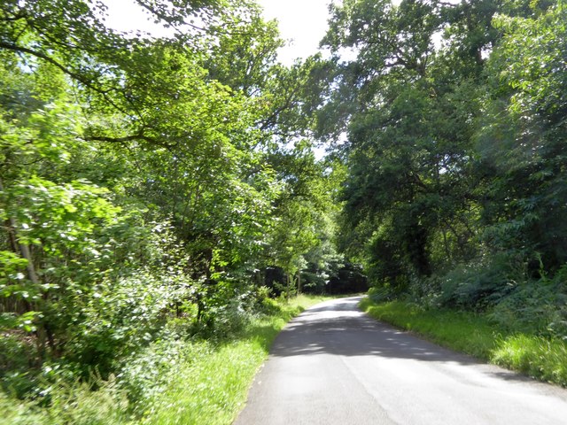
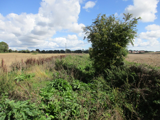
Hazel Coppice is a small woodland area located in the county of Dorset, England. Situated near the village of Hazelbury Bryan, the coppice covers an area of approximately 10 acres. It is predominantly characterized by the presence of hazel trees, which give the woodland its name.

The hazel trees in Hazel Coppice are managed through a traditional practice known as coppicing. This involves cutting back the trees to ground level every few years, allowing new shoots to grow from the stumps. The harvested wood is then used for various purposes, such as firewood, fencing, and crafts.

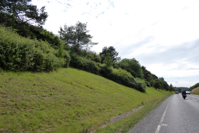
The woodland is home to a diverse range of flora and fauna. Apart from the hazel trees, other tree species found in Hazel Coppice include oak, ash, and birch. The undergrowth comprises a mixture of wildflowers, ferns, and grasses, creating a rich and colorful carpet on the forest floor.

The woodland provides a habitat for various wildlife species. Birds such as woodpeckers, tits, and finches can be spotted among the trees, while mammals like squirrels, rabbits, and deer are also present. The coppice is particularly known for its population of dormice, a protected species in the UK.

Hazel Coppice is a popular destination for nature lovers, walkers, and photographers. It offers peaceful and scenic surroundings, with well-maintained footpaths and trails that allow visitors to explore the woodland and its diverse ecosystem. The site also hosts educational events and workshops, providing opportunities for people to learn about traditional woodland management and conservation.

If you have any feedback on the listing, please let us know in the comments section below.

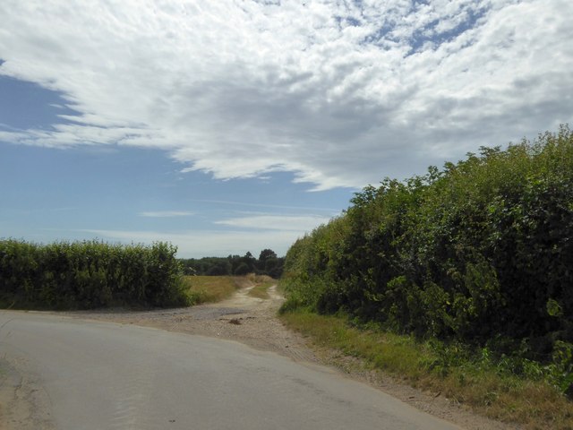
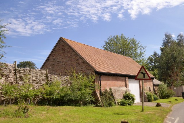
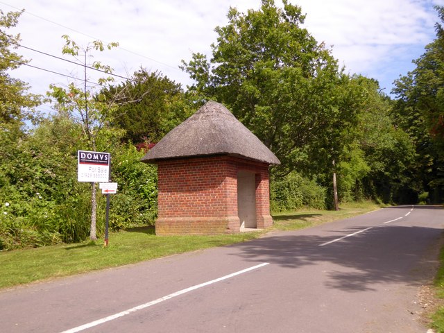
Hazel Coppice Images

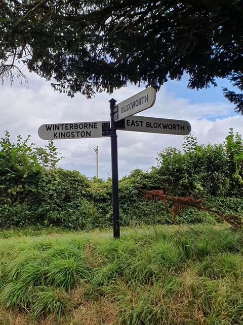
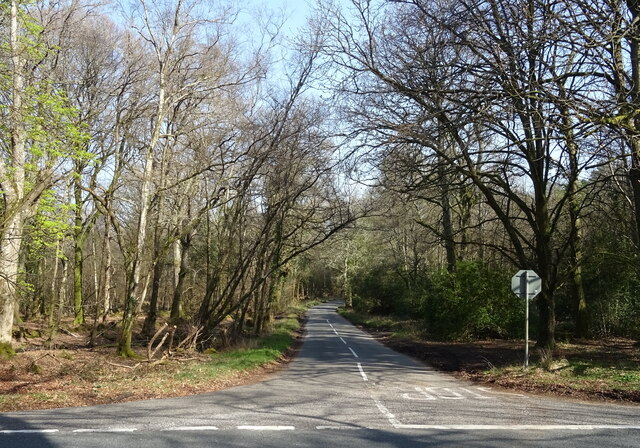
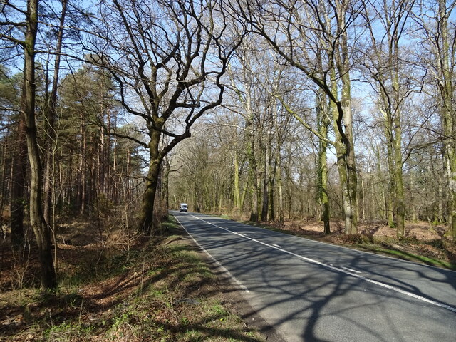
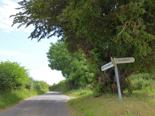
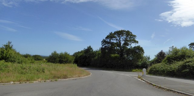
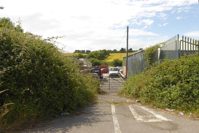
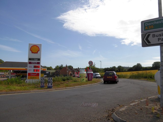
Images are sourced within 2km of 50.759742/-2.1881142 or Grid Reference SY8695. Thanks to Geograph Open Source API. All images are credited.

Direction Sign – Signpost at Long Cross Pit, Bloxworth Located at Long Cross Pit, on the southwest side of the junction with Newport Lane in Bloxworth parish. 3 arms and cap finial. See also <a title="https://www.geograph.org.uk/photo/4646227" href="https://www.geograph.org.uk/photo/4646227">Link</a>.

Milestone Society National ID: DO_SY8895
Direction Sign – Signpost at Long Cross Pit, Bloxworth
Located at Long Cross Pit, on the southwest side of the junction with Newport Lane in Bloxworth parish. 3 arms and cap finial. See also Link. Milestone Society National ID: DO_SY8895
Minor road towards Bloxworth
A35 towards Dorchester
Field and hedgerow near Lower Woodbury Farm
A31 near Bolton's Barrow
Botany Bay Farm buildings Supposedly where prisoners were lodged overnight en route for the ships to deport them to Australia
Botany Bay Farm buildings
Supposedly where prisoners were lodged overnight en route for the ships to deport them to Australia
Blocked field entrance south of Botany Bay Farm
Road junction and signpost at Long Cross Pit
Farm track to Waterley Wood This track is aligned with the road, which turns south here.  The road has followed the edge of a large field, and the track follows the same hedge to the woodland
Farm track to Waterley Wood
This track is aligned with the road, which turns south here. The road has followed the edge of a large field, and the track follows the same hedge to the woodland
Barn on the north of Bloxworth
Thatched bus shelter in Bloxworth
Road through Humber's Coppice south of Bloxworth
Road junction on A35 east of Bere Regis The minor side road and A35 both have long straight stretches on each side of this junction.  They meet at a sharp acute angle, so for safety the junction has been altered to be staggered with the roads square to each other.  The former route is on the right, above the traffic bollard
Road junction on A35 east of Bere Regis
The minor side road and A35 both have long straight stretches on each side of this junction. They meet at a sharp acute angle, so for safety the junction has been altered to be staggered with the roads square to each other. The former route is on the right, above the traffic bollard
The remains of a road junction, Bere Regis This junction has been closed and the space beside the former road given to commercial use.  It is part of the rearrangement of roads (A35 and A31) to avoid the centre of Bere Regis
The remains of a road junction, Bere Regis
This junction has been closed and the space beside the former road given to commercial use. It is part of the rearrangement of roads (A35 and A31) to avoid the centre of Bere Regis
Filling station at Bere Regis At the roundabout junction of the A31 and A35 north-east of Bere Regis
Filling station at Bere Regis
At the roundabout junction of the A31 and A35 north-east of Bere Regis
A35 cutting through Burrow Hill
The River Winterborne Damp but with no flowing surface water at this time of the year.
The River Winterborne
Damp but with no flowing surface water at this time of the year.
View towards trees alongside a tributary of the River Winterborne
Show me another place!

Hazel Coppice is located at Grid Ref: SY8695 (Lat: 50.759742, Lng: -2.1881142)

Unitary Authority: Dorset

Police Authority: Dorset

What 3 Words

///tolls.icicles.mingles. Near Bere Regis, Dorset

Nearby Locations

Bere Wood Hazel Coppice

Related Wikis

Bloxworth House

Bloxworth House is a Grade I listed manor house just northwest of the village of Bloxworth in Dorset, England. It was built in 1608 by George Savage and...

Woodbury Hill, Dorset

Woodbury Hill is a hill near Bere Regis in Dorset, England. It is the site of an Iron Age hillfort (a scheduled monument), and the location of an annual...

Bere Regis Hundred

Bere Regis Hundred was a hundred in the county of Dorset, England, containing the following parishes: Bere Regis Winterborne KingstonMilborne Stileham...

Bloxworth

Bloxworth is a village and civil parish in the English county of Dorset, within Wareham Forest on the A35 road 5 miles (8 km) west of Poole. In the 2011...

Nearby Amenities

Located within 500m of 50.759742,-2.1881142
BEREREGIS
Disused: yes
Man Made: petroleum_well
Ref GB Decc: L97/10-1
Source: DECC
Lat/Long: 50.761/-2.19225
The data included in this document is from www.openstreetmap.org. The data is made available under ODbL.

Have you been to Hazel Coppice?

Leave your review of Hazel Coppice below (or comments, questions and feedback).