Bissell Wood
Wood, Forest in Worcestershire Wyre Forest
England
Bissell Wood
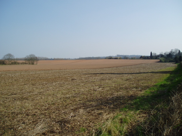
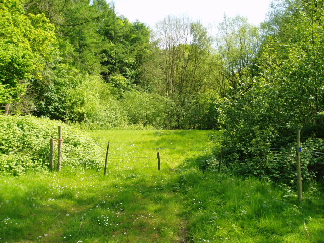
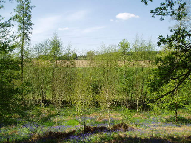
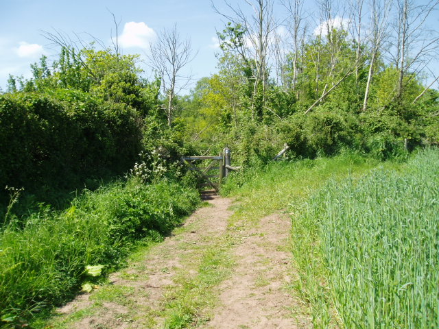
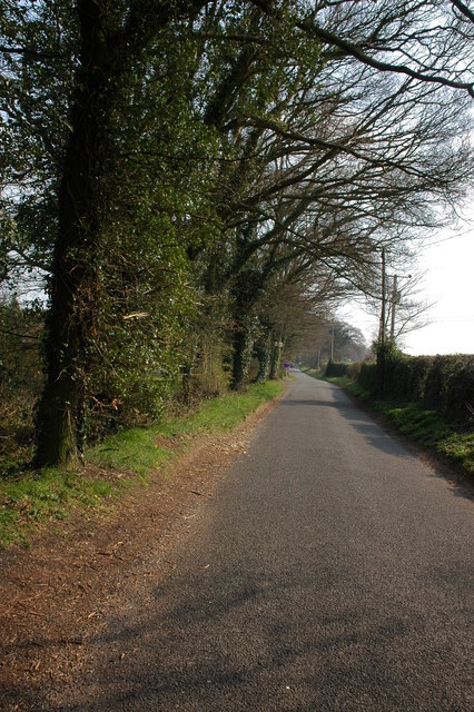
Bissell Wood is a picturesque woodland located in the county of Worcestershire, England. Encompassing an area of approximately 45 hectares, it is situated within the wider Bissell Estate and lies adjacent to the larger Feckenham Forest. The woodland boasts a diverse range of tree species, including oak, ash, birch, and beech, creating a rich and varied ecosystem.
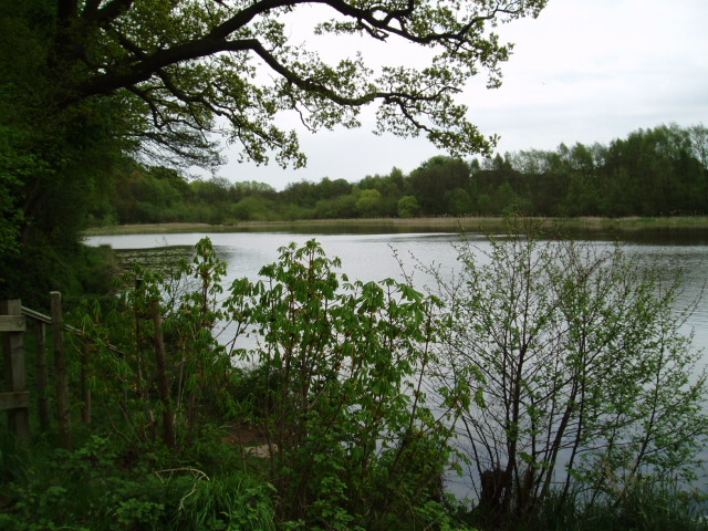
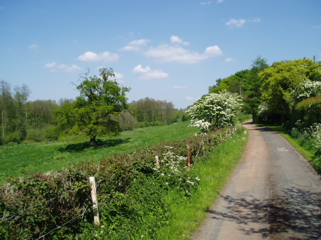
Bissell Wood is renowned for its natural beauty and tranquil atmosphere, making it a popular destination for nature lovers and outdoor enthusiasts. The wood provides a peaceful escape from the hustle and bustle of everyday life, offering visitors the chance to immerse themselves in the beauty of nature.
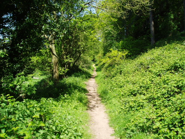
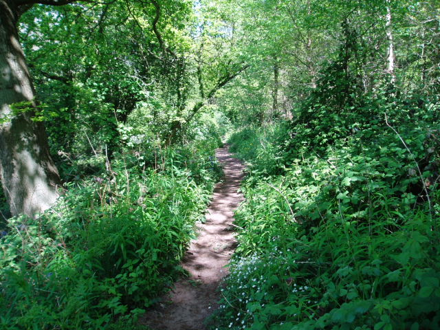
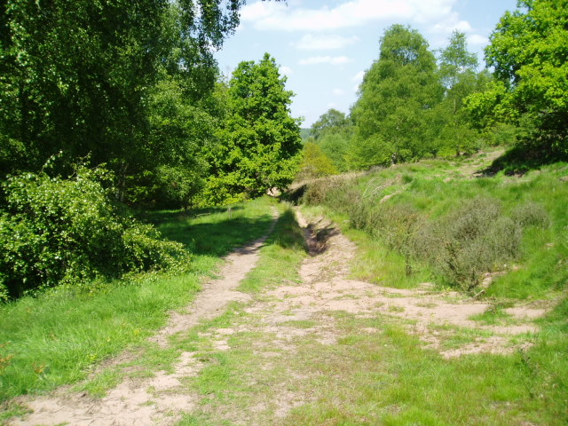
The woodland is crisscrossed by a network of well-maintained footpaths, allowing visitors to explore its many trails and discover the hidden gems within. These paths wind through the ancient trees, offering glimpses of wildlife such as deer, squirrels, and a variety of bird species.
In addition to its natural beauty, Bissell Wood is also steeped in history. It is believed to have been part of the ancient Forest of Feckenham, which was once a royal hunting ground. Today, remnants of this historic past can still be seen in the form of ancient boundary banks and ditches.
Overall, Bissell Wood is a haven of tranquility and natural beauty, offering visitors the opportunity to connect with nature and enjoy the wonders of Worcestershire's countryside. Whether it be for a leisurely stroll, wildlife spotting, or simply taking in the breathtaking scenery, Bissell Wood is a must-visit destination for nature enthusiasts of all ages.
If you have any feedback on the listing, please let us know in the comments section below.
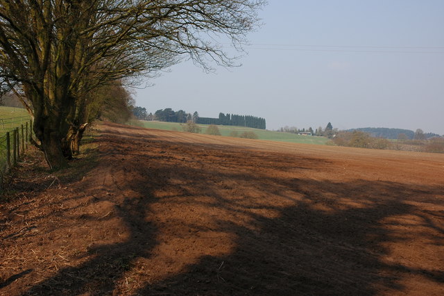
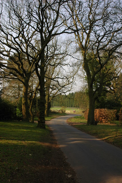
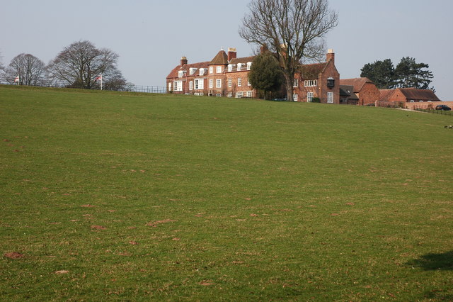
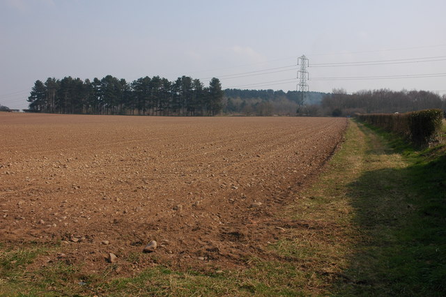
Bissell Wood Images
Images are sourced within 2km of 52.392148/-2.1949859 or Grid Reference SO8677. Thanks to Geograph Open Source API. All images are credited.
Bissell Wood is located at Grid Ref: SO8677 (Lat: 52.392148, Lng: -2.1949859)
Administrative County: Worcestershire
District: Wyre Forest
Police Authority: West Mercia
What 3 Words
///dwarf.business.voucher. Near Kidderminster, Worcestershire
Nearby Locations
Related Wikis

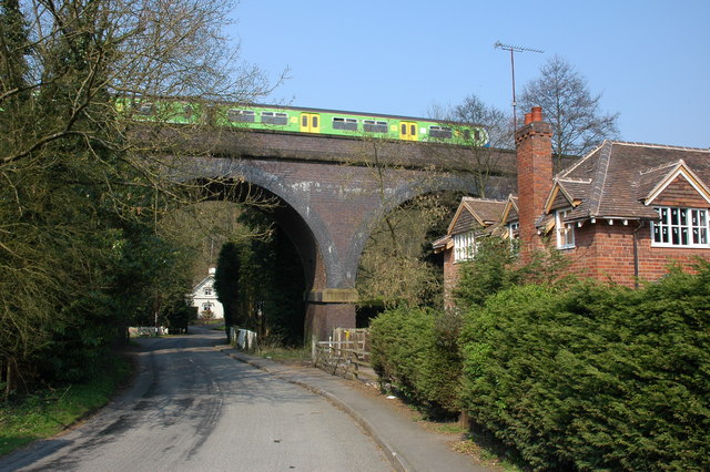
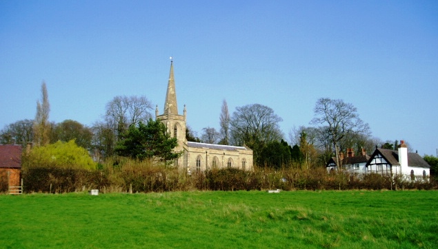
Blakedown
Blakedown is a village in the Wyre Forest District lying along the A456 in the north of the county of Worcestershire, England. Following enclosures and...

Blakedown railway station
Blakedown railway station serves the English village of Blakedown, Worcestershire. It was opened as Churchill in 1852, later becoming known for a time...
Stone, Worcestershire
Stone is a village and civil parish in the Wyre Forest District of Worcestershire, England. Of Anglo-Saxon origin, it lies two miles south-east of Kidderminster...

Chester Road North Ground, Kidderminster
The Chester Road North Ground, often referred to simply as Chester Road or Kidderminster, is a cricket ground in Kidderminster, Worcestershire, England...
Wyre Forest School
Wyre Forest School (formerly Stourminster Special School) is a school in Kidderminster, Worcestershire, for students with complex special needs, and...

Axborough
Axborough is a low wooded hill east of Cookley in north Worcestershire, England. == History == Its Saxon name meant hassock grass barrow. This does not...
Hackmans Gate
Hackmans Gate is a hamlet in the parish of Broome, and the district of Wyre Forest District of Worcestershire, England.

The Shrubbery, Kidderminster
The Shrubbery is a former military installation in Kidderminster, Worcestershire. It is a Grade II listed building. == History == The building is an early...
Nearby Amenities
Located within 500m of 52.392148,-2.1949859Have you been to Bissell Wood?
Leave your review of Bissell Wood below (or comments, questions and feedback).