Clapcote Brake

Wood, Forest in Wiltshire

England

Clapcote Brake

The  Street  Grittleton Looking west not a lot of activity
The Street Grittleton Credit: Martin Dawes

Clapcote Brake is a picturesque woodland area located in the county of Wiltshire, England. Situated amidst the beautiful countryside, it covers an approximate area of 200 acres and is known for its diverse range of flora and fauna.

The woodland is predominantly composed of various species of broadleaf trees, including oak, beech, and ash, which provide a dense canopy and create a serene and tranquil atmosphere. The forest floor is adorned with a rich carpet of bluebells during spring, adding a burst of vibrant color to the surroundings.

Clapcote Brake is home to a wide range of wildlife, making it a popular spot for nature enthusiasts and birdwatchers. Visitors may catch a glimpse of various bird species, including woodpeckers, nuthatches, and tawny owls. Mammals such as foxes, badgers, and deer can also be spotted roaming the woodland.

The forest offers a network of well-maintained trails, providing opportunities for walking, hiking, and cycling. The paths wind through the woodland, offering glimpses of hidden glades and meandering streams. There are also designated picnic areas, allowing visitors to take a break and enjoy the peaceful surroundings.

Managed by the local authorities, Clapcote Brake aims to preserve the natural beauty of the woodland while providing a safe and enjoyable experience for visitors. The forest is open to the public throughout the year and offers free entry. Facilities such as parking, toilets, and information boards are available to enhance the visitor experience.

Overall, Clapcote Brake is a charming woodland retreat that offers a blend of natural beauty, wildlife, and recreational activities, making it a must-visit destination for nature lovers and those seeking a peaceful escape in Wiltshire.

If you have any feedback on the listing, please let us know in the comments section below.

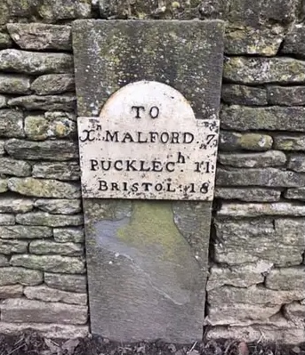
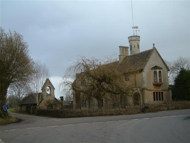
Clapcote Brake Images

Images are sourced within 2km of 51.532276/-2.1922368 or Grid Reference ST8681. Thanks to Geograph Open Source API. All images are credited.

The  Street  Grittleton Looking west not a lot of activity
The Street Grittleton
Looking west not a lot of activity
Grittleton School: late June 2015
Old Milestone by The Street, Grittleton Metal plate attached to stone post by the UC road, in parish of GRITTLETON (NORTH WILTSHIRE District), The Street; Grittleton; opposite Grittleton House School by "Masons", partially inset into wall, on North side of road. Erected by the Christian Malford to Shillingford turnpike trust in the 19th century. 

Inscription reads:- 
TO
Xn. MALFORD. 7
PUCKLECh. 11
BRISTOL. 18

Grade II listed. 
List Entry Number: 1363847 <span class="nowrap"><a title="https://historicengland.org.uk/listing/the-list/list-entry/1363847" rel="nofollow ugc noopener" href="https://historicengland.org.uk/listing/the-list/list-entry/1363847">Link</a><img style="margin-left:2px;" alt="External link" title="External link - shift click to open in new window" src="https://s1.geograph.org.uk/img/external.png" width="10" height="10"/></span>

Milestone Society National ID: WI_CMBR07
Old Milestone by The Street, Grittleton
Metal plate attached to stone post by the UC road, in parish of GRITTLETON (NORTH WILTSHIRE District), The Street; Grittleton; opposite Grittleton House School by "Masons", partially inset into wall, on North side of road. Erected by the Christian Malford to Shillingford turnpike trust in the 19th century. Inscription reads:- TO Xn. MALFORD. 7 PUCKLECh. 11 BRISTOL. 18 Grade II listed. List Entry Number: 1363847 LinkExternal link Milestone Society National ID: WI_CMBR07
Grittleton : St Mary the Virgin Anglican parish church, c1200 origins, C15 tower, heavily restored 1865-7 by A.W. Blomfield.
Grittleton : St Mary the Virgin
Anglican parish church, c1200 origins, C15 tower, heavily restored 1865-7 by A.W. Blomfield.
Grittleton : St Mary the Virgin Church Anglican parish church, c1200 origins, C15 tower, heavily restored 1865-7 by A.W. Blomfield.
Grittleton : St Mary the Virgin Church
Anglican parish church, c1200 origins, C15 tower, heavily restored 1865-7 by A.W. Blomfield.
Grittleton : Track A road to Newlands Farm.
Grittleton : Track
A road to Newlands Farm.
Grittleton : Road A small lane off Grittleton Road.
Grittleton : Road
A small lane off Grittleton Road.
Hullavington : Grittleton Road A road the road junction.
Hullavington : Grittleton Road
A road the road junction.
Straw Bales in Grittleton This square is mostly farmland, with a minor road and some footpaths, as well as some residences of the village of Grittleton. These straw bales were stacked outside the barn, in the south eastern corner of the square and south of the footpath.
Straw Bales in Grittleton
This square is mostly farmland, with a minor road and some footpaths, as well as some residences of the village of Grittleton. These straw bales were stacked outside the barn, in the south eastern corner of the square and south of the footpath.
Pump in Grittleton This old pump (not sure what it's all about) is outside a residence in the minor road in the square.
Pump in Grittleton
This old pump (not sure what it's all about) is outside a residence in the minor road in the square.
St Mary's Grittleton This historic church receives support from the historic churches trust and has undergone considerable development over time. It is reputed to have been around since the 1200s and before that there was another church on the site. It is in the south western section of the square.
St Mary's Grittleton
This historic church receives support from the historic churches trust and has undergone considerable development over time. It is reputed to have been around since the 1200s and before that there was another church on the site. It is in the south western section of the square.
St Mary's Grittleton A view of St Mary's from the graveyard on the south west of the building.
St Mary's Grittleton
A view of St Mary's from the graveyard on the south west of the building.
Residence Grittleton A house in keeping with style of the school gatehouse and the school itself.
Residence Grittleton
A house in keeping with style of the school gatehouse and the school itself.
Avenue of Lime Trees: Grittleton This impressive avenue of lime trees starts in this square at this point and proceeds for some distance in the south western section of this square into the next square.
Avenue of Lime Trees: Grittleton
This impressive avenue of lime trees starts in this square at this point and proceeds for some distance in the south western section of this square into the next square.
Pasture near Grittleton This pasture lies south of the minor road in the square. The square is all farmland.
Pasture near Grittleton
This pasture lies south of the minor road in the square. The square is all farmland.
Road to Roberts Berry Farm This is the entrance and drive to Roberts Berry Farm, north of the minor road in this square. Most of this square is farmland.
Road to Roberts Berry Farm
This is the entrance and drive to Roberts Berry Farm, north of the minor road in this square. Most of this square is farmland.
Farmland in Grittleton This square is mostly farmland. This field is in the south eastern section of the square, next to the barns.
Farmland in Grittleton
This square is mostly farmland. This field is in the south eastern section of the square, next to the barns.
Fosse Lodge and Chapel
Show me another place!

Clapcote Brake is located at Grid Ref: ST8681 (Lat: 51.532276, Lng: -2.1922368)

Unitary Authority: Wiltshire

Police Authority: Wiltshire

What 3 Words

///things.boardroom.retraced. Near Norton, Wiltshire

Related Wikis

Grittleton Strict Baptist Chapel

Grittleton Strict Baptist Chapel is a Baptist chapel in The Street, Grittleton, Wiltshire, England. It is recorded in the National Heritage List for England...

Grittleton House

Grittleton House is a country house in the village of Grittleton, Wiltshire, England, about 5+1⁄2 miles (9 km) northwest of the town of Chippenham. It...

Grittleton House School

Grittleton House School was an independent school in Wiltshire, England, between 1951 and 2016, at Grittleton House. == History == A small, independent...

Grittleton

Grittleton is a village and civil parish in Wiltshire, England, 6 miles (10 km) northwest of Chippenham. The parish includes the hamlets of Foscote,...

Nearby Amenities

Located within 500m of 51.532276,-2.1922368
The data included in this document is from www.openstreetmap.org. The data is made available under ODbL.

Have you been to Clapcote Brake?

Leave your review of Clapcote Brake below (or comments, questions and feedback).