Horse Paddock Wood
Wood, Forest in Staffordshire South Staffordshire
England
Horse Paddock Wood

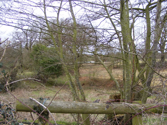
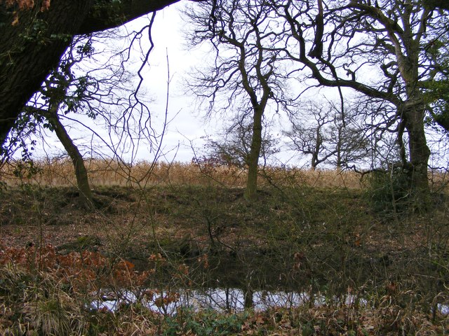
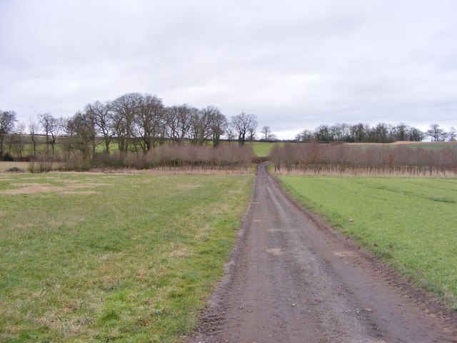
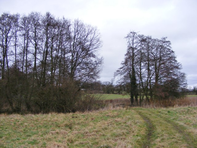
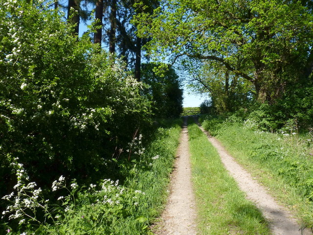
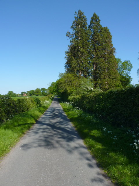
Horse Paddock Wood, located in Staffordshire, is a picturesque woodland area known for its natural beauty and tranquil surroundings. Covering a vast expanse of land, the wood is home to a diverse range of flora and fauna, making it a popular destination for nature enthusiasts and outdoor enthusiasts alike.
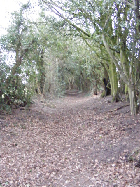
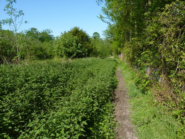
The wood boasts a variety of tree species, including oak, ash, and birch, which provide a lush canopy and create a soothing ambiance. Walking through the wood, visitors can enjoy the pleasant fragrance of pine and the gentle rustling of leaves underfoot. The forest floor is adorned with an array of wildflowers, adding vibrant colors to the landscape during the spring and summer months.
The wood is also a haven for wildlife, with numerous species of birds, mammals, and insects calling it home. Birdwatchers can spot a variety of feathered creatures, including woodpeckers, owls, and robins. Squirrels and rabbits are often seen darting through the underbrush, while butterflies and bees flit from flower to flower.
For those seeking recreational activities, Horse Paddock Wood offers several walking trails and paths, allowing visitors to explore its enchanting surroundings at their own pace. The wood is also a popular spot for horse riding, with designated trails and ample space for equestrian enthusiasts to enjoy a leisurely ride.
Horse Paddock Wood, with its stunning natural beauty and diverse ecosystem, provides a peaceful retreat for those looking to connect with nature and escape the hustle and bustle of everyday life.
If you have any feedback on the listing, please let us know in the comments section below.
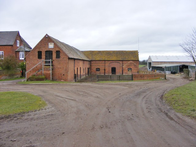
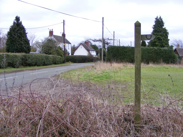
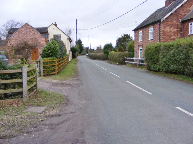
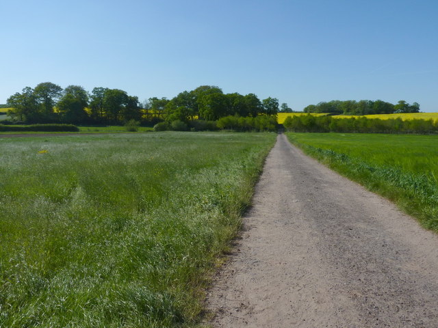
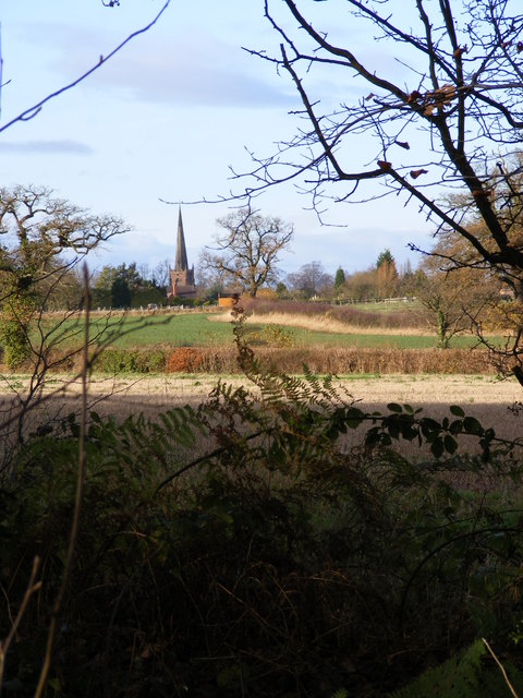
Horse Paddock Wood Images
Images are sourced within 2km of 52.662138/-2.1973253 or Grid Reference SJ8607. Thanks to Geograph Open Source API. All images are credited.
Horse Paddock Wood is located at Grid Ref: SJ8607 (Lat: 52.662138, Lng: -2.1973253)
Administrative County: Staffordshire
District: South Staffordshire
Police Authority: Staffordshire
What 3 Words
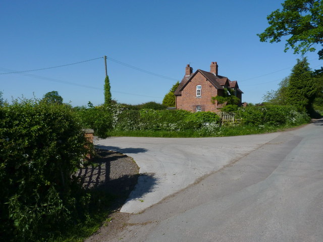
///pack.smart.mock. Near Brewood, Staffordshire
Nearby Locations
Related Wikis

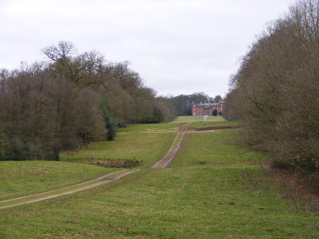
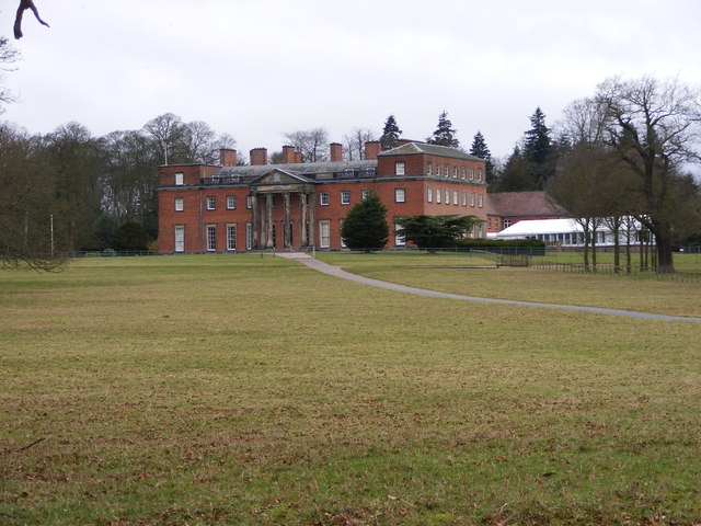
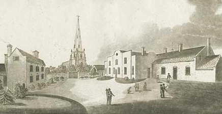
Chillington Hall
Chillington Hall is a Georgian country house near Brewood, Staffordshire, England, four miles northwest of Wolverhampton. It is the residence of the Giffard...
Brewood Grammar School
Brewood Grammar School was a boys' school in the village of Brewood in South Staffordshire, England. Founded in the mid 15th century by the Bishop of Lichfield...

St Dominic's Grammar School
St Dominic's Grammar School (formerly St Dominic's Brewood and St Dominic's High School For Girls and boys ) is a private day school for girls and boys...
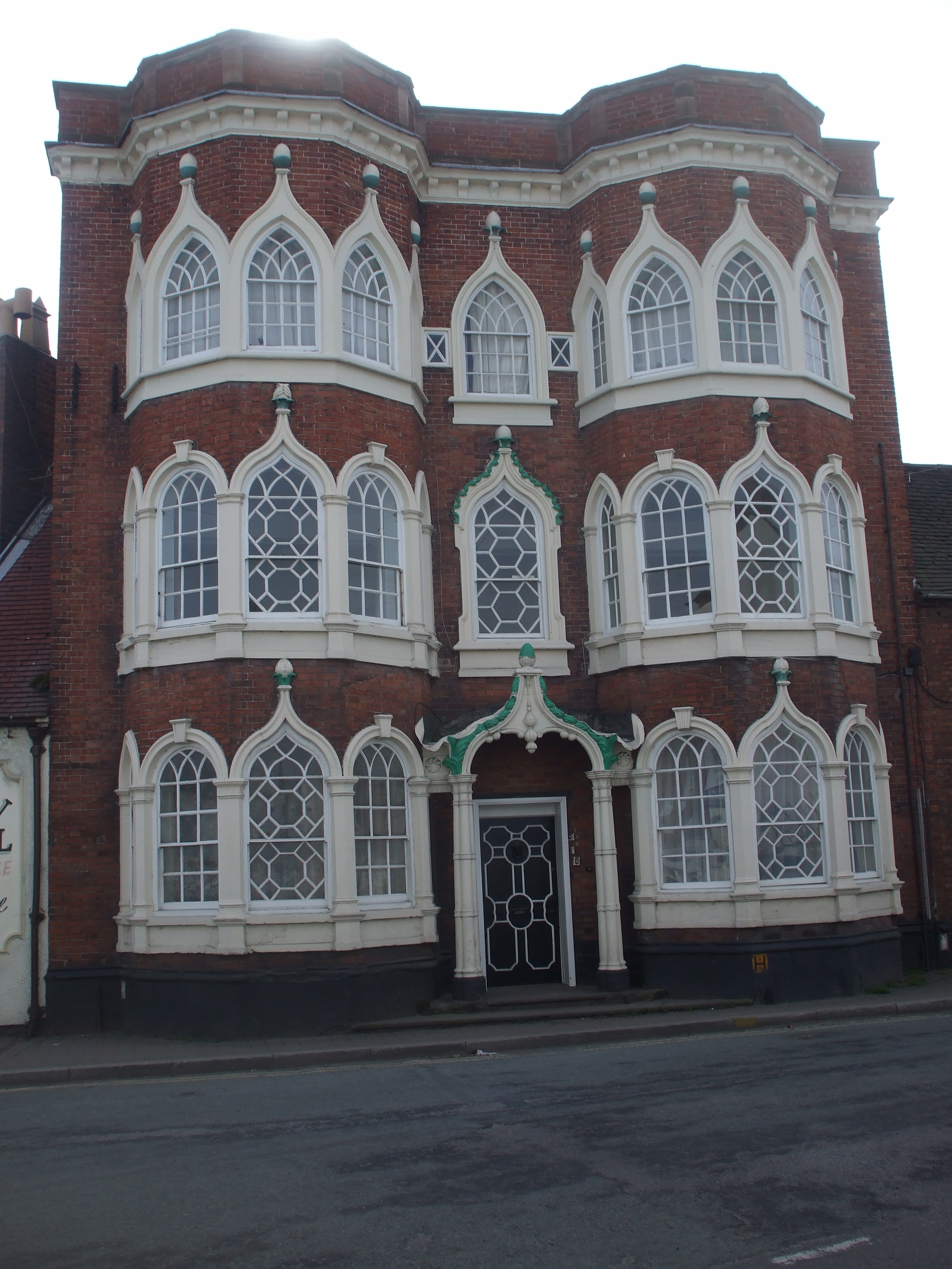
Speedwell Castle
Speedwell Castle is a mid-18th-century house at the centre of Brewood, Staffordshire, between Wolverhampton and Stafford. Described by Pevsner as a "peach...
Brewood
Brewood is an ancient market town in the civil parish of Brewood and Coven, in the South Staffordshire district, in the county of Staffordshire, England...
Gunstone
Gunstone is a hamlet in the South Staffordshire district of Staffordshire, England. It is situated north east of the village of Codsall. == Place name... ==

Belvide Reservoir
Belvide Reservoir is a reservoir in South Staffordshire, England. It was built in 1833 to supply the Birmingham and Liverpool Junction Canal, and has been...

Black Ladies Priory
Black Ladies Priory was a house of Benedictine nuns, located about 4 km west of Brewood in Staffordshire, on the northern edge of the hamlet of Kiddemore...
Nearby Amenities
Located within 500m of 52.662138,-2.1973253Have you been to Horse Paddock Wood?
Leave your review of Horse Paddock Wood below (or comments, questions and feedback).