Brick Kiln Covert
Wood, Forest in Staffordshire South Staffordshire
England
Brick Kiln Covert
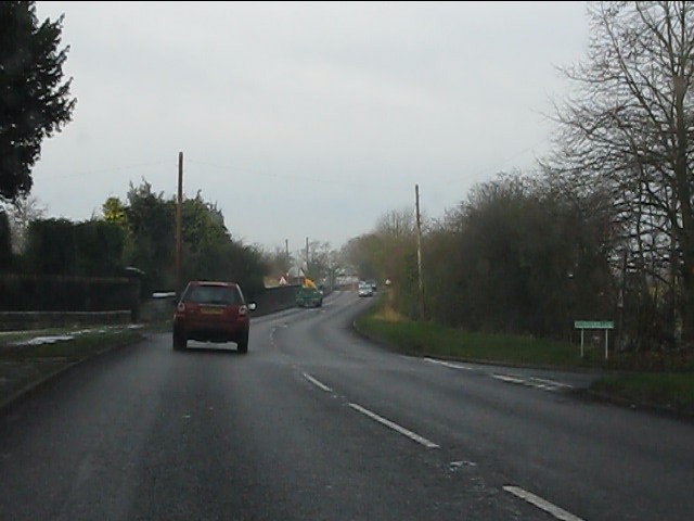
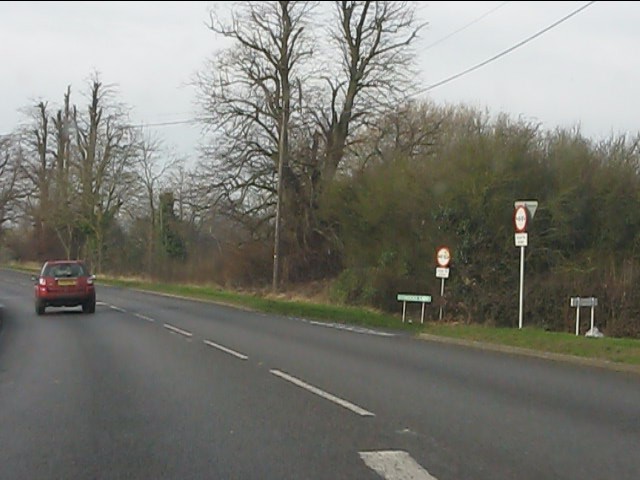
Brick Kiln Covert is a picturesque woodland located in Staffordshire, England. Covering an area of approximately 50 acres, it forms part of the larger Cannock Chase Forest, renowned for its natural beauty and diverse wildlife.
The woodland is predominantly composed of deciduous trees such as oak, birch, and beech, which create a dense canopy overhead. This provides a tranquil and shady environment, perfect for escaping the hustle and bustle of everyday life. The forest floor is adorned with an array of wildflowers, including bluebells and wood anemones, adding a splash of color to the landscape during the spring months.
A network of well-maintained footpaths weaves through Brick Kiln Covert, allowing visitors to explore the woodland at their own pace. These paths lead to secluded spots, offering stunning views of the surrounding countryside and providing opportunities for peaceful picnics or wildlife watching. The woodland is home to a diverse range of fauna, including deer, foxes, badgers, and a variety of bird species, making it a haven for nature enthusiasts and photographers alike.
Brick Kiln Covert also holds historical significance, with remnants of its past as a brick kiln site. Visitors can stumble upon old brickworks, kiln chimneys, and other remnants from Staffordshire's brick-making industry, which flourished in the 19th century.
In summary, Brick Kiln Covert is a serene woodland in Staffordshire, offering a tranquil escape for nature lovers, history enthusiasts, and those seeking a peaceful retreat in the heart of nature.
If you have any feedback on the listing, please let us know in the comments section below.
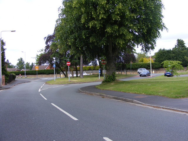
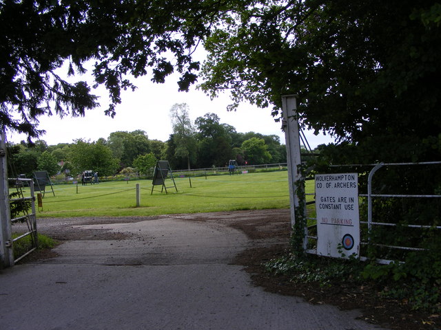
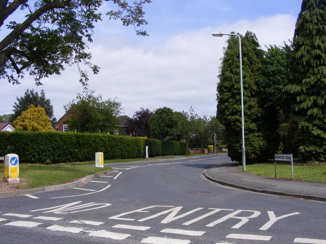
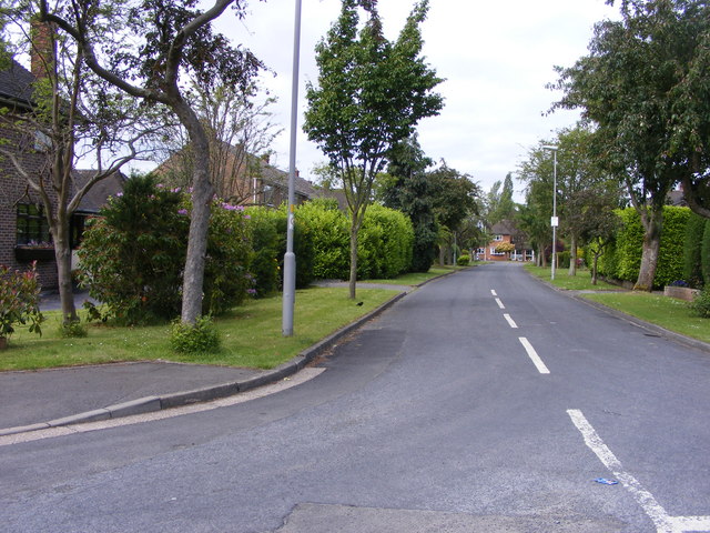
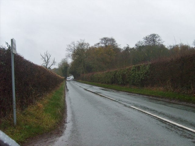
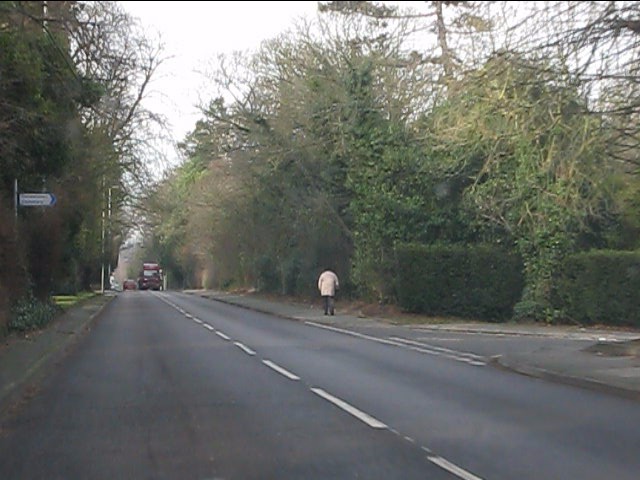
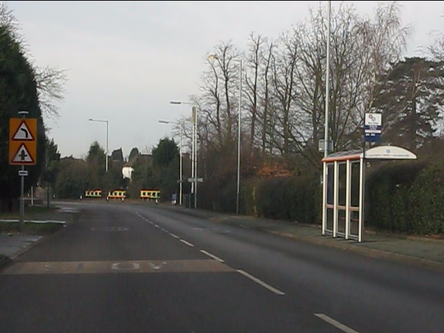
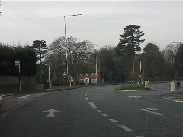
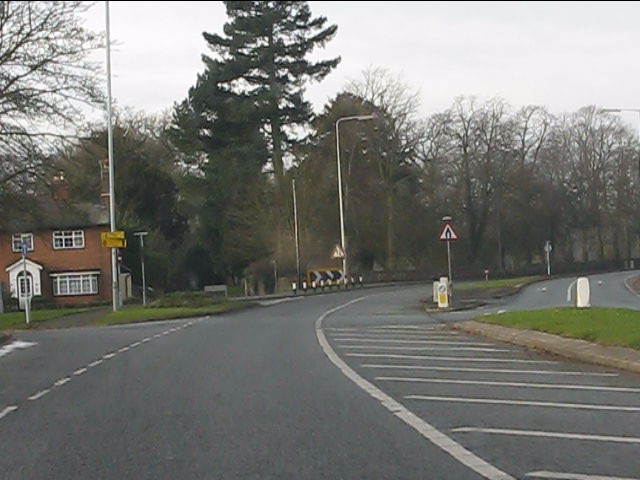
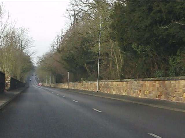
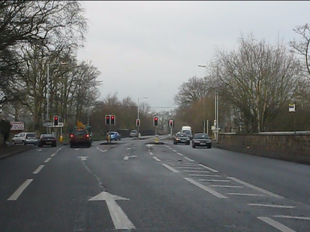
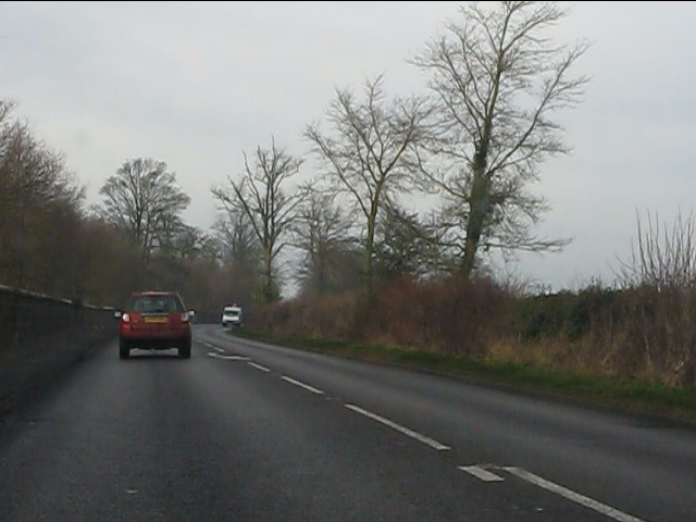
Brick Kiln Covert Images
Images are sourced within 2km of 52.611333/-2.1997252 or Grid Reference SJ8601. Thanks to Geograph Open Source API. All images are credited.
Brick Kiln Covert is located at Grid Ref: SJ8601 (Lat: 52.611333, Lng: -2.1997252)
Administrative County: Staffordshire
District: South Staffordshire
Police Authority: Staffordshire
What 3 Words
///drag.poster.voter. Near Codsall, Staffordshire
Nearby Locations
Related Wikis

Oaken
Oaken is a small village in Staffordshire, England. The first mention of the Oaken place-name was in 1086 when it was listed in the Domesday book as Ache...
Wrottesley Hall
Wrottesley Hall is a 1923-built Grade II listed house in the civil parish of Perton, and historically part of Tettenhall in Staffordshire, England. The...
Birches Bridge
Birches Bridge is an area of Codsall, Staffordshire. It is situated to the northwest of Wolverhampton between Bilbrook and Codsall. == Name and origins... ==

Bilbrook railway station
Bilbrook railway station is a railway station which serves the village of Bilbrook in Staffordshire, England. It was known as Birches and Bilbrook Halt...

South Staffordshire
South Staffordshire is a local government district in Staffordshire, England. The district lies to the north and west of the West Midlands county, bordering...

Codsall railway station
Codsall railway station serves the village of Codsall in Staffordshire, England. == History == The original listed GWR footbridge, between the two platforms...
Codsall
Codsall is a large village in the South Staffordshire district of Staffordshire, England. It is situated 5 miles northwest of Wolverhampton and 13 miles...

St Regis Church of England Academy
St Regis Church of England Academy is a coeducational Church of England secondary school and sixth form located at Tettenhall, 2.5 miles (4.0 km) north...
Nearby Amenities
Located within 500m of 52.611333,-2.1997252Have you been to Brick Kiln Covert?
Leave your review of Brick Kiln Covert below (or comments, questions and feedback).