Bagmylodge Wood

Wood, Forest in Northumberland

England

Bagmylodge Wood

Methodist Church, Wark
Methodist Church, Wark Credit: JThomas

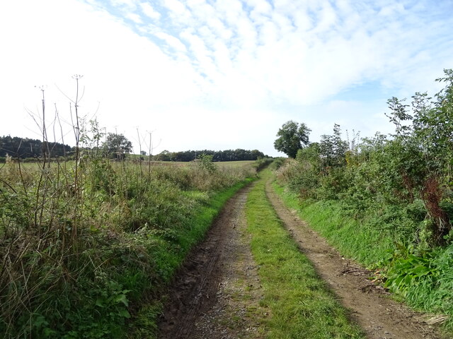
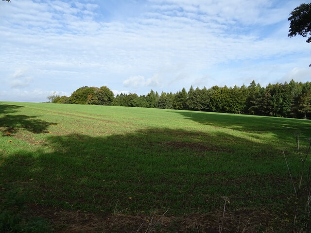
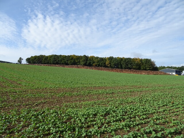
Bagmylodge Wood is a picturesque forest located in Northumberland, England. Covering an area of approximately 100 acres, it is a popular destination for nature lovers and outdoor enthusiasts. The wood is characterized by its diverse range of flora and fauna, offering visitors a unique and immersive experience.

The forest is predominantly composed of native broadleaf trees, including oak, ash, and beech, which create a dense and enchanting canopy. These trees provide shelter and a thriving habitat for a variety of wildlife, such as deer, squirrels, and a plethora of bird species. The wood is also home to several rare and protected species, making it an important conservation site.

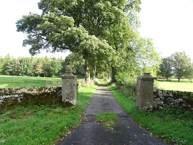
Visitors can explore the wood through a network of well-maintained footpaths and trails, which wind their way through the enchanting woodland. These paths offer stunning views of the surrounding countryside and lead to hidden gems, such as a tranquil pond and a secluded picnic area.

Bagmylodge Wood is not only a haven for wildlife but also a place of historical significance. The wood contains the remnants of an ancient settlement, with archaeological evidence suggesting human habitation dating back thousands of years. This adds an extra layer of intrigue and fascination for history enthusiasts.

Whether one is seeking a peaceful stroll, a wildlife-spotting adventure, or a glimpse into the past, Bagmylodge Wood offers a truly immersive and captivating experience. Its natural beauty, rich biodiversity, and historical significance make it a must-visit destination in Northumberland.

If you have any feedback on the listing, please let us know in the comments section below.

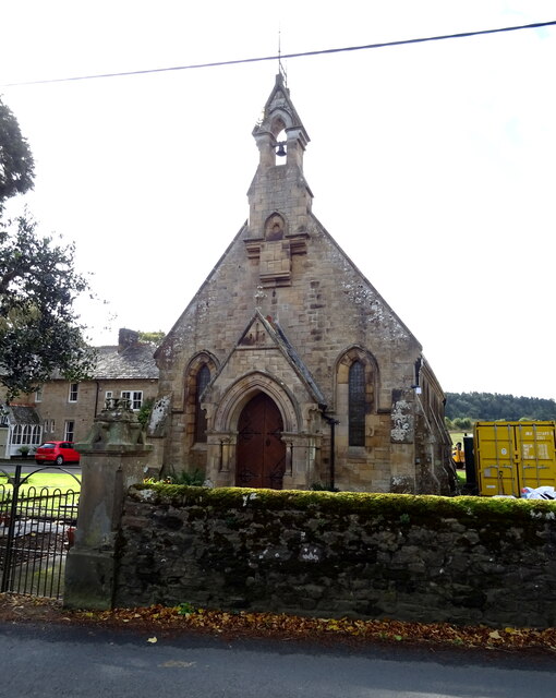
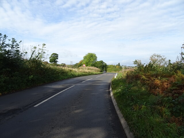
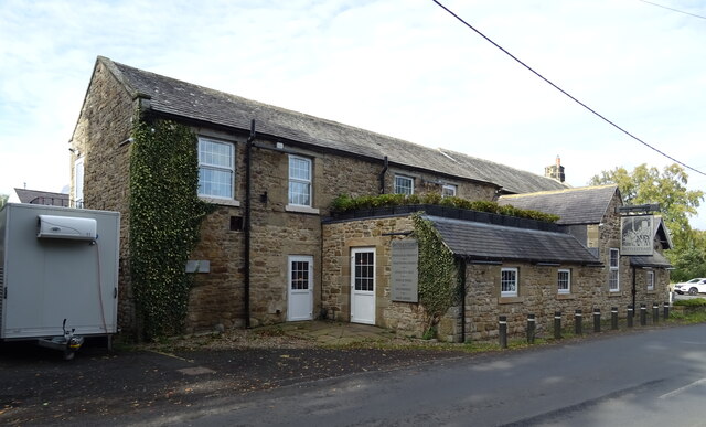
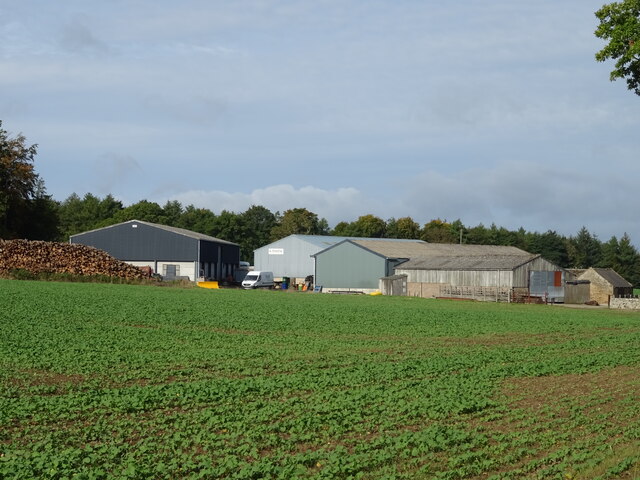
Bagmylodge Wood Images

Images are sourced within 2km of 55.079535/-2.2118467 or Grid Reference NY8676. Thanks to Geograph Open Source API. All images are credited.

Methodist Church, Wark
B6320 towards Wark
B6320 towards Wark
Farm track (footpath), Wark Footpath goes to Low Moralee.
Farm track (footpath), Wark
Footpath goes to Low Moralee.
Battlesteads Hotel and Restaurant, Wark On Hexham Road.
Battlesteads Hotel and Restaurant, Wark
On Hexham Road.
Sign for the Battlesteads Hotel and Restaurant, Wark
George VI postbox on Main Street, Wark On the Post Office.
Postbox No. NE48 79.

See <a href="https://www.geograph.org.uk/photo/7026684">NY8677 : Post Office, Newsagents and store on Main Street, Wark</a> for context.
George VI postbox on Main Street, Wark
On the Post Office. Postbox No. NE48 79. See NY8677 : Post Office, Newsagents and store on Main Street, Wark for context.
Post Office, Newsagents and store on Main Street, Wark Showing position of Postbox No. NE48 79.

See <a href="https://www.geograph.org.uk/photo/7026680">NY8677 : George VI postbox on Main Street, Wark</a> for postbox.
Post Office, Newsagents and store on Main Street, Wark
Showing position of Postbox No. NE48 79. See NY8677 : George VI postbox on Main Street, Wark for postbox.
The Grey Bull Inn on Main Street, Wark
Post Office, Newsagents and store on Main Street, Wark
Cottages on Main Street, Wark
The Black Bull Hotel & Restaurant on Main Street, Wark
Sign for the Black Bull Hotel & Restaurant on Main Street, Wark
Emerging crop and woodland Near Little Park End.
Emerging crop and woodland
Near Little Park End.
Track to Little Park End Off the B6320.
Track to Little Park End
Off the B6320.
Elizabeth II postbox on the B6320, Park End Postbox No. NE48 33.

See <a href="https://www.geograph.org.uk/photo/7027501">NY8775 : B6320, Park End</a> for context.
Elizabeth II postbox on the B6320, Park End
Postbox No. NE48 33. See NY8775 : B6320, Park End for context.
B6320, Park End Towards Wark.
Showing position of Postbox No. NE48 33.

See <a href="https://www.geograph.org.uk/photo/7027500">NY8775 : Elizabeth II postbox on the B6320, Park End</a> for postbox.
B6320, Park End
Towards Wark. Showing position of Postbox No. NE48 33. See NY8775 : Elizabeth II postbox on the B6320, Park End for postbox.
Crop field towards Sandybank Wood, Park End
Farm buildings, Park End Farm
Show me another place!

Bagmylodge Wood is located at Grid Ref: NY8676 (Lat: 55.079535, Lng: -2.2118467)

Unitary Authority: Northumberland

Police Authority: Northumbria

What 3 Words

///sleep.chambers.dreamers. Near Birtley, Northumberland

Related Wikis

Wark in Tyndale Castle

Wark in Tyndale Castle was a medieval building in the English county of Northumberland (grid reference NY861768). It was first mentioned in 1399–1400,...

Wark railway station

Wark railway station is a disused railway station which served the village of Wark on Tyne, Northumberland, England. Located on the Border Counties Railway...

Wark Town Hall

Wark Town Hall is a municipal building on The Green in Wark on Tyne, Northumberland, England. The building, which is used as a community events venue,...

Wark on Tyne

Wark on Tyne is a small village and civil parish in Northumberland, England, 12 miles (19 km) north of Hexham. == History == The name is derived from the...

Chipchase Castle

Chipchase Castle is a 17th-century Jacobean mansion incorporating a substantial 14th-century pele tower, which stands north of Hadrian's Wall, near Wark...

Birtley, Northumberland

Birtley is a village in Northumberland, England southeast of Bellingham. It is about 10 miles (16 km) north of Hexham. == References == == External... ==

Nunwick Hall

Nunwick Hall is a privately owned 18th-century country house near Simonburn, Northumberland in North East England. The estate has been the home of the...

Simonburn

Simonburn is a small human settlement in Northumberland, England. == Early history == Simonburn lies to the north of Hadrian's Wall, the most noted Roman...

Nearby Amenities

Located within 500m of 55.079535,-2.2118467
Power: pole
Lat/Long: 55.0752609/-2.2125854
Power: pole
Lat/Long: 55.0759519/-2.2129365
Power: pole
Lat/Long: 55.0761745/-2.2117295
Power: pole
Lat/Long: 55.0767004/-2.2132845
Power: pole
Lat/Long: 55.0773788/-2.2136388
Power: pole
Lat/Long: 55.0779531/-2.213946
Power: pole
Lat/Long: 55.0785634/-2.2142408
Power: pole
Lat/Long: 55.0793189/-2.214617
Power: pole
Lat/Long: 55.0800386/-2.2149712
Power: pole
Lat/Long: 55.080647/-2.215407
Power: pole
Lat/Long: 55.0813648/-2.2159087
Power: pole
Lat/Long: 55.0820791/-2.2164134
Power: pole
Lat/Long: 55.0824165/-2.217517
Power: pole
Lat/Long: 55.0826067/-2.2159055
Power: pole
Lat/Long: 55.0834268/-2.2151907
Power: pole
Lat/Long: 55.0763798/-2.2105867
Power: pole
Lat/Long: 55.0787667/-2.2162328
Power: pole
Lat/Long: 55.0786623/-2.2152511
Direction: SW
Generator Method: photovoltaic
Generator Output Electricity: yes
Generator Solar Modules: 11
Generator Source: solar
Generator Type: solar_photovoltaic_panel
Location: roof
Power: generator
Lat/Long: 55.076732/-2.2098988
Direction: SW
Generator Method: photovoltaic
Generator Output Electricity: yes
Generator Solar Modules: 11
Generator Source: solar
Generator Type: solar_photovoltaic_panel
Location: roof
Power: generator
Lat/Long: 55.0767493/-2.2099314
Direction: SW
Generator Method: photovoltaic
Generator Output Electricity: yes
Generator Solar Modules: 11
Generator Source: solar
Generator Type: solar_photovoltaic_panel
Location: roof
Power: generator
Lat/Long: 55.0767666/-2.2099639
Direction: SW
Generator Method: photovoltaic
Generator Output Electricity: yes
Generator Solar Modules: 11
Generator Source: solar
Generator Type: solar_photovoltaic_panel
Location: roof
Power: generator
Lat/Long: 55.0767839/-2.2099965
Direction: SW
Generator Method: photovoltaic
Generator Output Electricity: yes
Generator Solar Modules: 11
Generator Source: solar
Generator Type: solar_photovoltaic_panel
Location: roof
Power: generator
Lat/Long: 55.0768012/-2.2100291
Direction: SW
Generator Method: photovoltaic
Generator Output Electricity: yes
Generator Solar Modules: 11
Generator Source: solar
Generator Type: solar_photovoltaic_panel
Location: roof
Power: generator
Lat/Long: 55.0768185/-2.2100616
Direction: SW
Generator Method: photovoltaic
Generator Output Electricity: yes
Generator Solar Modules: 11
Generator Source: solar
Generator Type: solar_photovoltaic_panel
Location: roof
Power: generator
Lat/Long: 55.0768359/-2.2100942
Direction: SW
Generator Method: photovoltaic
Generator Output Electricity: yes
Generator Solar Modules: 11
Generator Source: solar
Generator Type: solar_photovoltaic_panel
Location: roof
Power: generator
Lat/Long: 55.0768532/-2.2101267
Direction: SW
Generator Method: photovoltaic
Generator Output Electricity: yes
Generator Solar Modules: 11
Generator Source: solar
Generator Type: solar_photovoltaic_panel
Location: roof
Power: generator
Lat/Long: 55.0768705/-2.2101593
Direction: SW
Generator Method: photovoltaic
Generator Output Electricity: yes
Generator Solar Modules: 11
Generator Source: solar
Generator Type: solar_photovoltaic_panel
Location: roof
Power: generator
Lat/Long: 55.0768878/-2.2101919
Ford: yes
Lat/Long: 55.0787404/-2.2184073
The data included in this document is from www.openstreetmap.org. The data is made available under ODbL.

Have you been to Bagmylodge Wood?

Leave your review of Bagmylodge Wood below (or comments, questions and feedback).