Queenhill Rough
Wood, Forest in Worcestershire Malvern Hills
England
Queenhill Rough
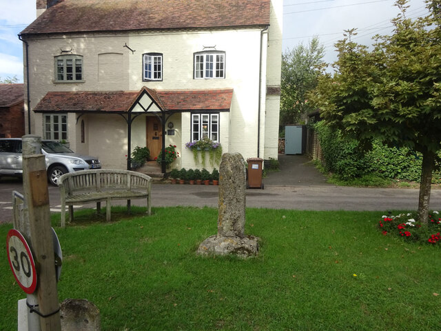
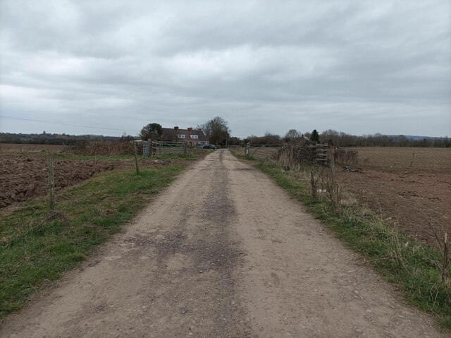
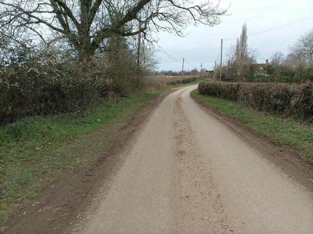
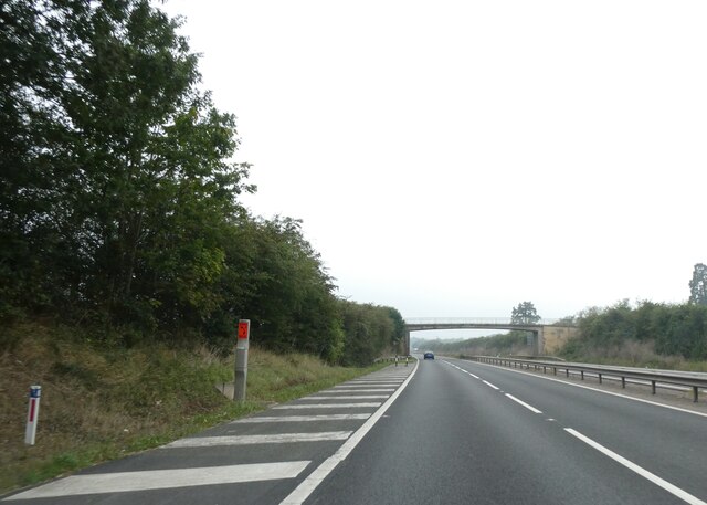
Queenhill Rough is a picturesque woodland area located in Worcestershire, England. Situated near the village of Queenhill, the rough covers an expansive area of dense forest, making it a haven for nature enthusiasts and outdoor adventurers alike.
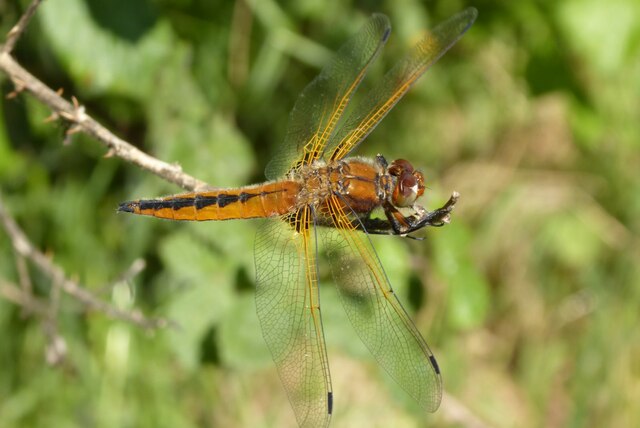
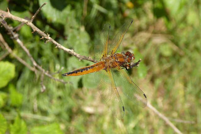
The woodland is characterized by a diverse range of trees, including oak, beech, and birch, which create a lush and vibrant environment. The forest floor is blanketed with a thick layer of leaf litter and moss, adding to the magical atmosphere of the area. Wildlife thrives in Queenhill Rough, with a variety of bird species, such as woodpeckers and owls, making their homes within the trees. Squirrels, rabbits, and deer can also be spotted darting through the undergrowth.
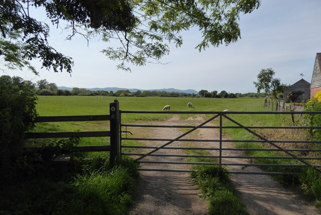
The rough offers a network of well-maintained paths and trails, allowing visitors to explore the woods at their leisure. These paths wind through the trees, providing stunning views of the surrounding landscape and offering a peaceful escape from the bustle of everyday life. The area is particularly popular with hikers, dog walkers, and families looking to immerse themselves in nature.
Queenhill Rough also boasts a picnic area, complete with benches and tables, where visitors can relax and enjoy a meal surrounded by the beauty of the woodland. Additionally, there are designated areas for camping and barbecuing, making it a fantastic spot for overnight stays and outdoor gatherings.
Overall, Queenhill Rough is a natural treasure in Worcestershire, offering a tranquil and enchanting experience for those seeking solace in nature's embrace.
If you have any feedback on the listing, please let us know in the comments section below.
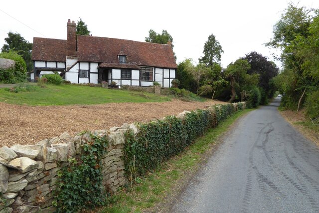
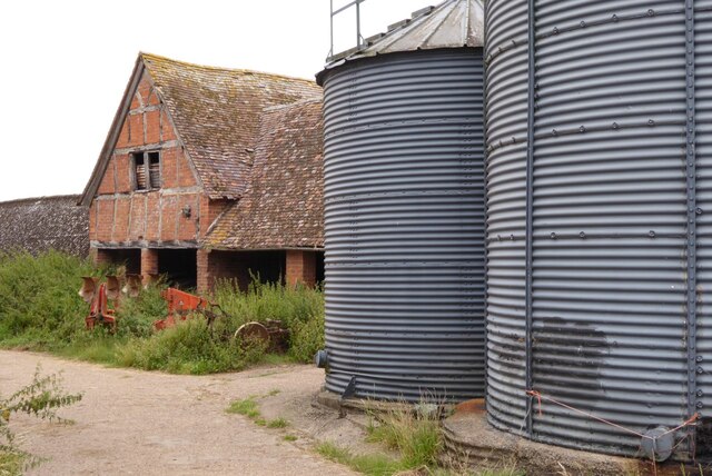
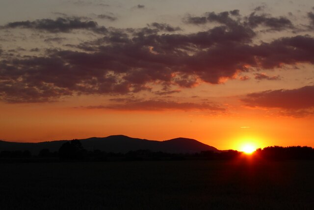
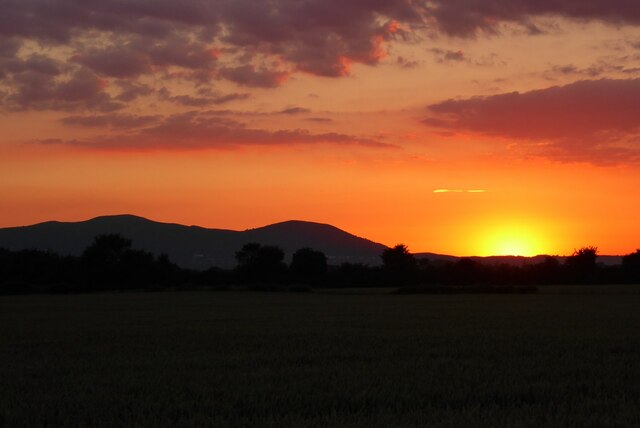
Queenhill Rough Images
Images are sourced within 2km of 52.0322/-2.2004401 or Grid Reference SO8637. Thanks to Geograph Open Source API. All images are credited.


Queenhill Rough is located at Grid Ref: SO8637 (Lat: 52.0322, Lng: -2.2004401)
Administrative County: Worcestershire
District: Malvern Hills
Police Authority: West Mercia
What 3 Words
///blotches.shorten.codes. Near Upton upon Severn, Worcestershire
Nearby Locations
Related Wikis

Queenhill
Queenhill is a civil parish and hamlet in the Malvern Hills District of the county of Worcestershire, England. It is one of three parishes administered...
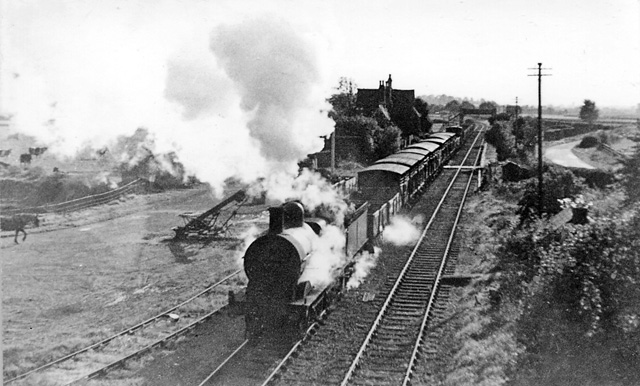
Ripple railway station
Ripple railway station was a station on the Midland Railway between Great Malvern and Evesham. It opened on 16 May 1864 by the Tewkesbury and Malvern...

Bredon School
Bredon School, formerly Pull Court, is a private school in Bushley, Worcestershire, England. The house was built for the Reverend Canon E. C. Dowdeswell...

Ripple, Worcestershire
Ripple is a village and civil parish in the county of Worcestershire, England. Ripple is one of the most southerly parishes in the county and is situated...

Holdfast, Worcestershire
Holdfast is a civil parish in the Malvern Hills District of the county of Worcestershire, England. It is one of three administered by the Parish Council...
Battle of Ripple Field
The Battle of Ripple Field, fought on 13 April 1643, was an engagement in the First English Civil War. In the battle, a Royalist cavalry force led by Prince...

Lordship of Saxons Lode
The Lordship of Saxons Lode or warlord of Saxons Lode (Old English for 'Lord of Viking's Iron') (Icelandic: Lávarður Saxa Lode, Danish: Herre af Sakserne...
Longdon, Worcestershire
Longdon is a village and a civil parish in the Malvern Hills District and council ward of the county of Worcestershire, England and lies about 5 km (3...
Nearby Amenities
Located within 500m of 52.0322,-2.2004401Have you been to Queenhill Rough?
Leave your review of Queenhill Rough below (or comments, questions and feedback).