The Bog
Wood, Forest in Northumberland
England
The Bog
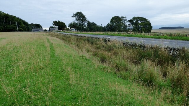
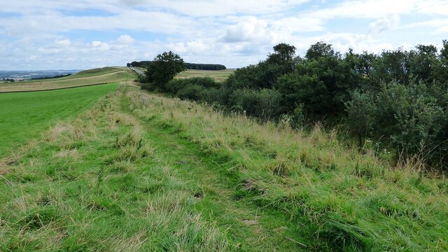
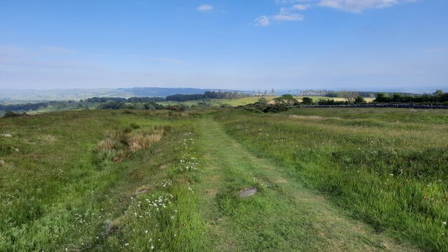
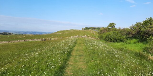
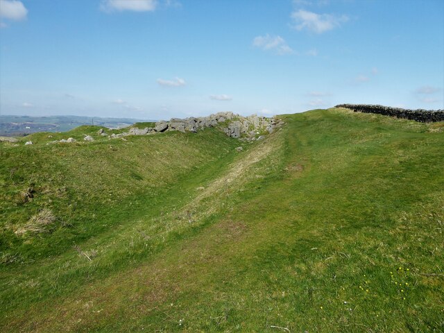
The Bog is a captivating and picturesque wood located in the county of Northumberland, England. Situated in the northern part of the county, this enchanting forest covers an area of approximately 200 acres. It is renowned for its mesmerizing and diverse ecosystem, making it a haven for nature enthusiasts and avid hikers.
The Bog boasts a rich and varied flora and fauna, with an assortment of both native and exotic species. Towering ancient trees, including oak, beech, and birch, dominate the landscape, providing a lush and verdant canopy. The forest floor is adorned with a tapestry of vibrant wildflowers, ferns, and mosses, creating a charming and magical ambiance.
The meandering pathways through The Bog offer visitors the opportunity to explore its hidden treasures. As they traverse the winding trails, they will encounter babbling brooks, small ponds, and tranquil clearings, each offering a unique and serene experience. Wildlife enthusiasts will be delighted to spot a plethora of creatures inhabiting the forest, such as deer, foxes, rabbits, and a variety of bird species.
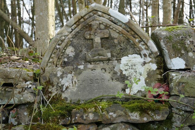
The Bog holds a significant place in Northumberland's history and folklore, with tales of mythical creatures and ancient rituals passed down through generations. Its ethereal beauty and mysterious atmosphere have inspired many artists, writers, and poets over the years.
Whether it be for a leisurely stroll, a peaceful picnic, or an adventurous hike, The Bog in Northumberland promises visitors an unforgettable and enchanting experience, immersing them in the captivating wonders of nature.
If you have any feedback on the listing, please let us know in the comments section below.
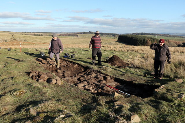
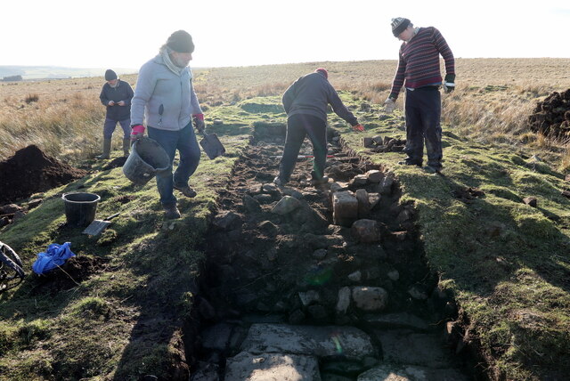
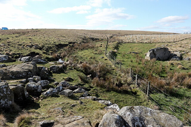
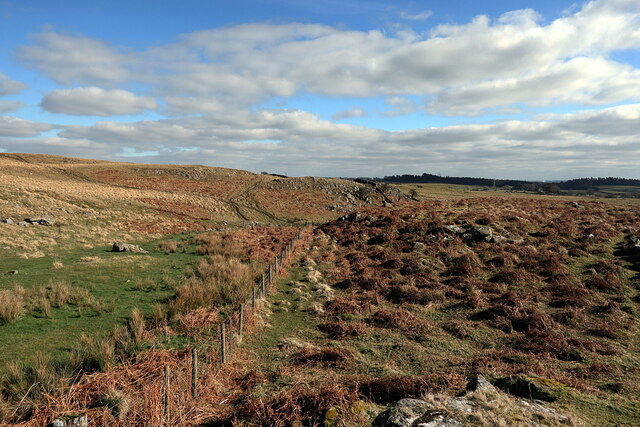
The Bog Images
Images are sourced within 2km of 55.030962/-2.2185049 or Grid Reference NY8670. Thanks to Geograph Open Source API. All images are credited.
The Bog is located at Grid Ref: NY8670 (Lat: 55.030962, Lng: -2.2185049)
Unitary Authority: Northumberland
Police Authority: Northumbria
What 3 Words
///daffodils.clearcut.stoops. Near Birtley, Northumberland
Nearby Locations
Related Wikis

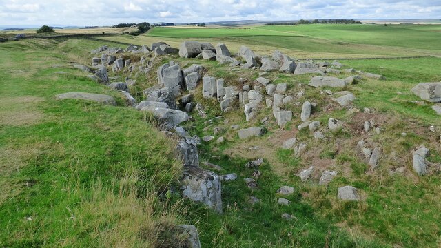
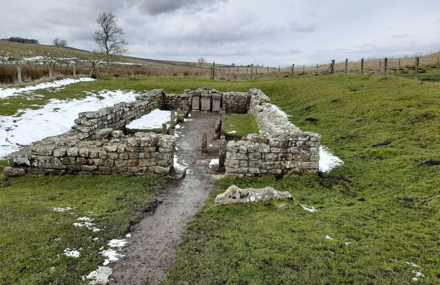
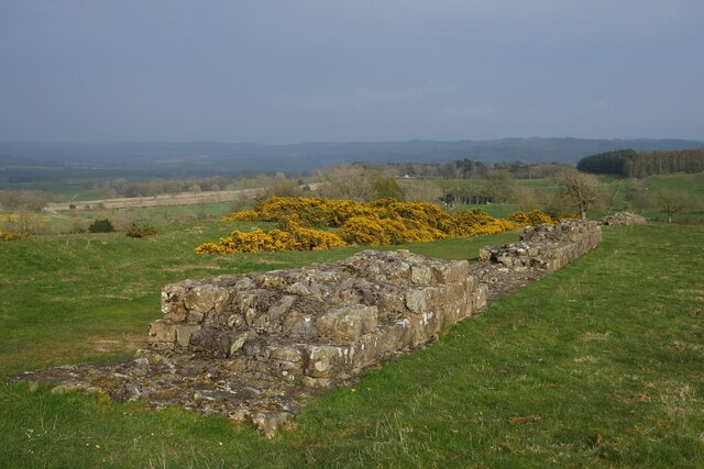
Carrawburgh
Carrawburgh is a settlement in Northumberland. In Roman times, it was the site of a 3+1⁄2-acre (1.5 ha) auxiliary fort on Hadrian's Wall called Brocolitia...

Milecastle 31
Milecastle 31 (Carrawburgh) was a milecastle of the Roman Hadrian's Wall. Its remains exist as a turf covered platform beside (and partially covered by...

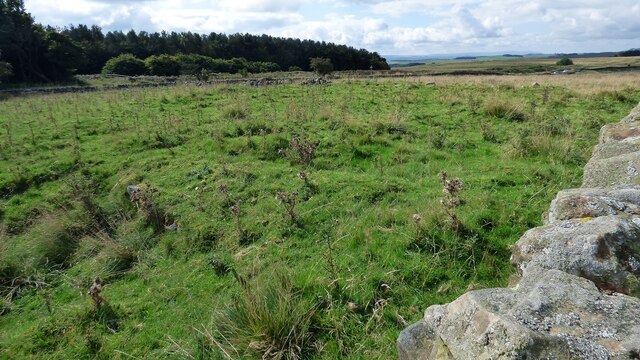
Milecastle 32
Milecastle 32 (Carraw) was a milecastle of the Roman Hadrian's Wall. Its remains exist as earthworks and with no exposed masonry. The layout of the milecastle...

Milecastle 30
Milecastle 30 (Limestone Corner) was a milecastle of the Roman Hadrian's Wall. Its remains exist as an outward-facing scarp with a maximum height of 0...
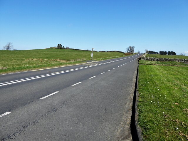
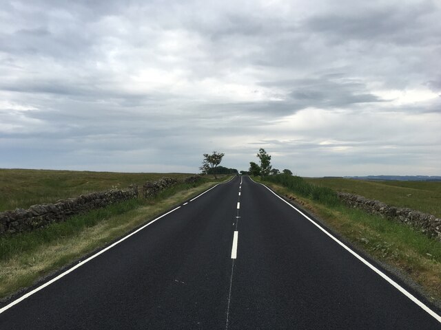
Military Road (Northumberland)
The Military Road is a name given locally to part of the B6318 road in Northumberland, England, which runs from Heddon-on-the-Wall (54.9974°N 1.7929°W...
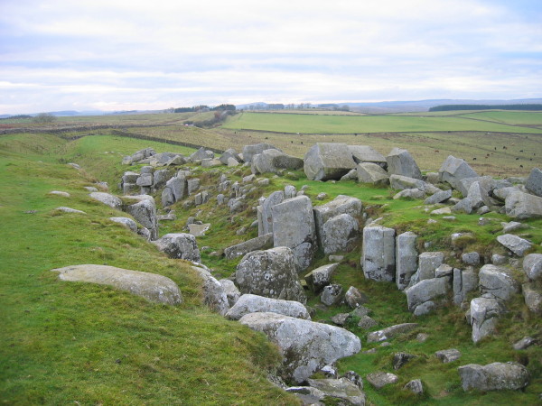
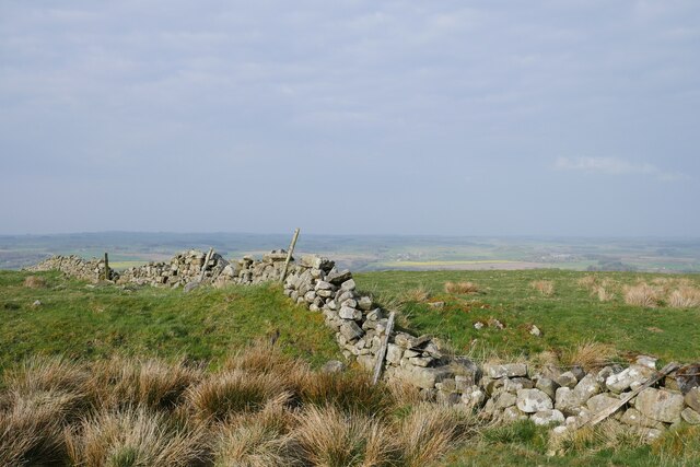
Limestone Corner
Limestone Corner is an area of Hadrian's Wall (and associated defences) at its most northerly point, in present-day northern England. It represents the...

Greenhaugh
Greenhaugh is a small village in Northumberland, England. It is located northwest of Bellingham and borders the Northumberland National Park. It is in...

Milecastle 29
Milecastle 29 (Tower Tye) was a milecastle of the Roman Hadrian's Wall. Its remains exist as a mutilated earth platform accentuated by deep robber-trenches...
Nearby Amenities
Located within 500m of 55.030962,-2.2185049Have you been to The Bog?
Leave your review of The Bog below (or comments, questions and feedback).