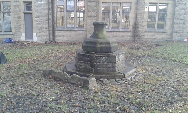
Scrogg's Wood
Wood, Forest in Lancashire Burnley
England
Scrogg's Wood
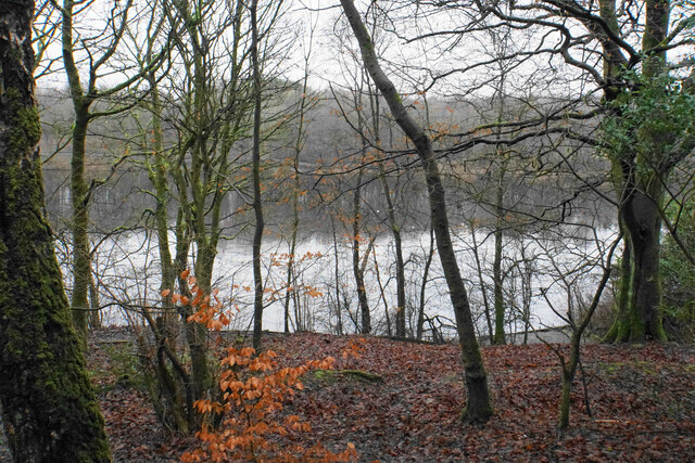
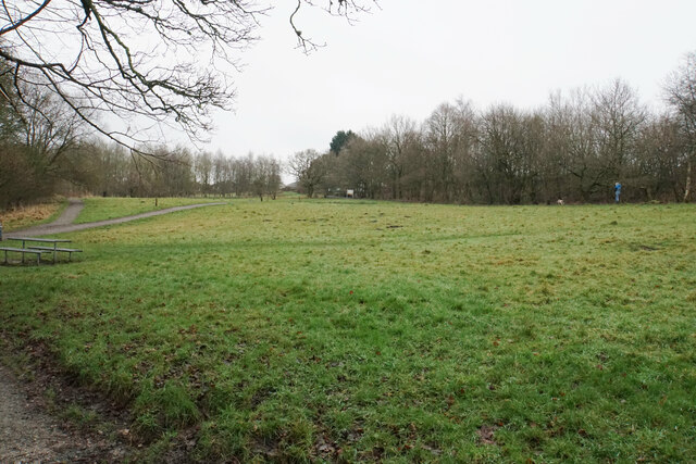
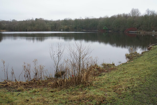
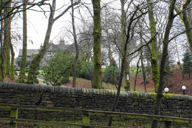
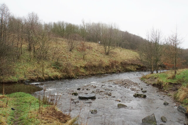
Scrogg's Wood is a picturesque forest located in the county of Lancashire in England. Covering an area of approximately 100 acres, it is a haven for nature enthusiasts and a popular destination for outdoor activities.
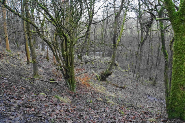
The wood is predominantly made up of native broadleaf trees, such as oak, beech, and ash, creating a diverse and enchanting environment. The canopy formed by the towering trees provides shade and a sense of tranquility, making it a perfect spot for peaceful walks or picnics.
Scrogg's Wood is home to a rich variety of flora and fauna. Wildflowers, including bluebells and primroses, carpet the forest floor during spring, adding vibrant colors to the landscape. The wood is also inhabited by a range of bird species, such as woodpeckers, thrushes, and owls, making it a great location for birdwatching.
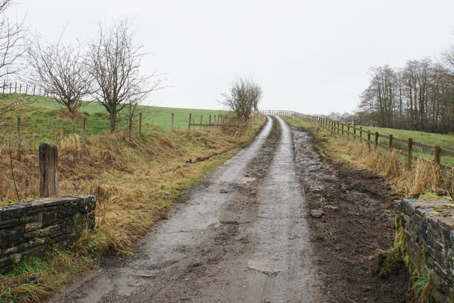
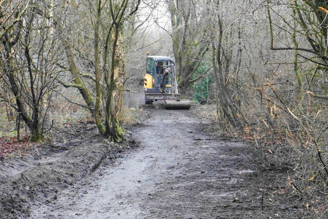
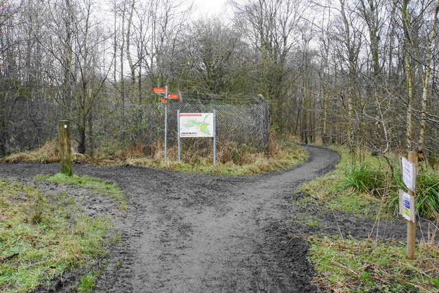
The forest is crisscrossed by a network of well-maintained trails, allowing visitors to explore its beauty and immerse themselves in nature. These trails cater to both casual strollers and avid hikers, offering options for different levels of difficulty and length.
Scrogg's Wood is managed by the local forestry commission, ensuring its preservation and the conservation of its natural habitats. The commission also organizes educational programs and guided tours, providing visitors with an opportunity to learn about the wood's history, ecology, and the importance of sustainable forestry practices.
Overall, Scrogg's Wood offers a serene escape from the hustle and bustle of everyday life, inviting visitors to reconnect with nature and experience the beauty of Lancashire's woodlands.
If you have any feedback on the listing, please let us know in the comments section below.
Scrogg's Wood Images
Images are sourced within 2km of 53.798143/-2.2149076 or Grid Reference SD8533. Thanks to Geograph Open Source API. All images are credited.

,_Burnley.jpg)

Scrogg's Wood is located at Grid Ref: SD8533 (Lat: 53.798143, Lng: -2.2149076)
Administrative County: Lancashire
District: Burnley
Police Authority: Lancashire
What 3 Words
///sound.soup.adopt. Near Burnley, Lancashire
Nearby Locations
Related Wikis

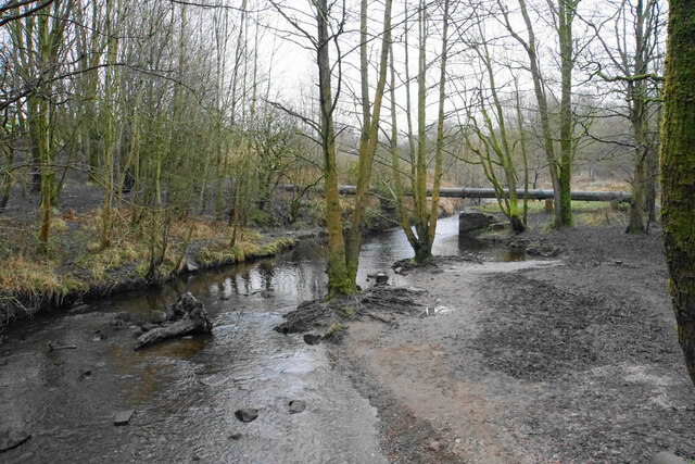
River Don, Lancashire
The River Don is a river in Lancashire, England. It is 6.64 miles (10.69 km) long and has a catchment area of 4.18 square miles (1,082.31 ha).Rising on...

Sir John Thursby Community College
Sir John Thursby Community College is a mixed 11-16 comprehensive school in Burnley, Lancashire, England. It is named for Sir John Hardy Thursby (1826...
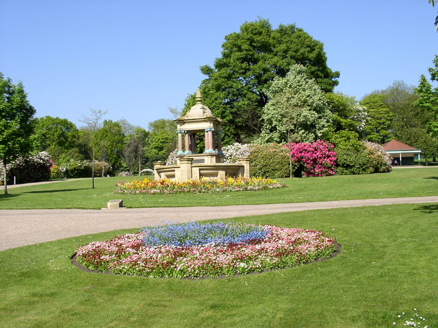
Queens Park, Burnley
Queens Park is a public park in Burnley, Lancashire. It covers 11.2 hectares and was opened in 1893, making it Burnley's oldest park. Located approximately...

Blessed Trinity Roman Catholic College
Blessed Trinity Roman Catholic College is a coeducational Roman Catholic secondary school located in Burnley, Lancashire, England. == History == The school...
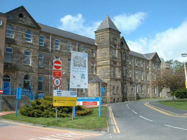
Burnley General Teaching Hospital
The Burnley General Teaching Hospital is an acute District General Hospital in Burnley, Lancashire operated by the East Lancashire Hospitals NHS Trust...
Bank Hall Colliery
Bank Hall Colliery was a coal mine on the Burnley Coalfield in Burnley, Lancashire near the Leeds and Liverpool Canal. Sunk in the late 1860s, it was the...

St Andrew's Church, Burnley
St Andrew's Church is in Colne Road, Burnley, Lancashire, England. It is an active Anglican parish church in the deanery of Burnley, the archdeaconry...

Turf Moor
Turf Moor is an association football stadium in Burnley, Lancashire, England, which has been the home of Burnley Football Club since 1883. This unbroken...
Nearby Amenities
Located within 500m of 53.798143,-2.2149076Have you been to Scrogg's Wood?
Leave your review of Scrogg's Wood below (or comments, questions and feedback).