Grant's Copse

Wood, Forest in Dorset

England

Grant's Copse

Dressed for an occasion A 1947 Jaguar Mk IV saloon shows itself off as a wedding car on weekends. This 3.5 litre example was actually sold to an owner in Belgium, where it spent 51 years on the road before being returned to England. There it received an extensive overhaul and rebuild by 2010. It's first run was in the London to Brighton event and was awarded a 'Best Car' prize.
Dressed for an occasion Credit: Neil Owen

Grant's Copse is a serene and enchanting wood located in the county of Dorset, England. This ancient woodland covers an area of approximately 10 hectares and is nestled within the picturesque landscape of the Cranborne Chase and West Wiltshire Downs Area of Outstanding Natural Beauty.

The copse is characterized by its diverse range of tree species, including oak, beech, ash, and hazel, which create a lush and verdant canopy overhead. The woodland floor is adorned with a rich carpet of bluebells and primroses in the spring, adding a delicate touch of color to the surroundings.

Walking through Grant's Copse is a delightful experience, with well-maintained footpaths guiding visitors through the dense foliage. The tranquil atmosphere is enhanced by the gentle sound of birdsong and the occasional rustling of leaves underfoot.

This wood is not only a haven for nature enthusiasts but also serves as an important habitat for various wildlife species. It offers a sanctuary for numerous bird species, including woodpeckers, owls, and warblers. Small mammals, such as squirrels, rabbits, and foxes, can also be spotted scurrying through the undergrowth.

Grant's Copse has a rich history, with some areas of the wood dating back centuries. It has remained relatively untouched by human activity, preserving its natural beauty and providing a glimpse into the ancient woodlands that once covered much of the country.

Whether it is for a leisurely stroll, birdwatching, or simply immersing oneself in nature's tranquility, Grant's Copse in Dorset offers a peaceful retreat for all who visit.

If you have any feedback on the listing, please let us know in the comments section below.

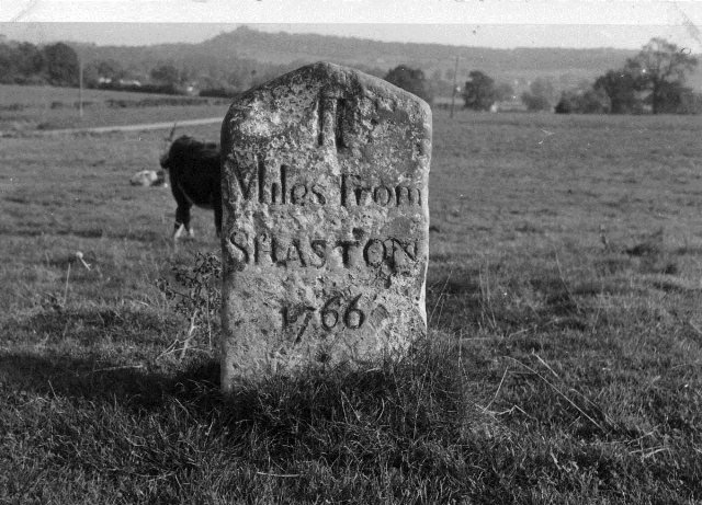
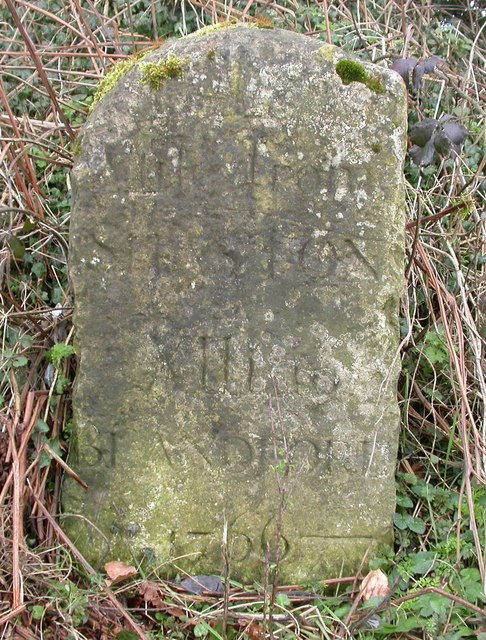
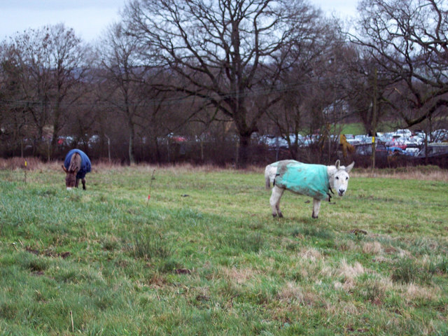
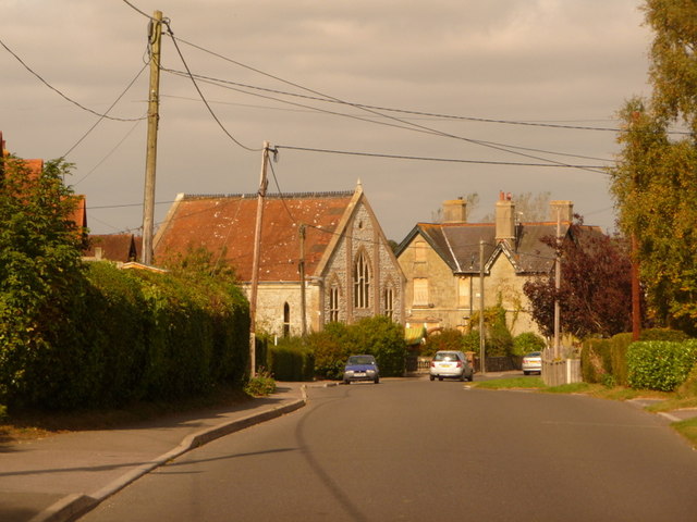
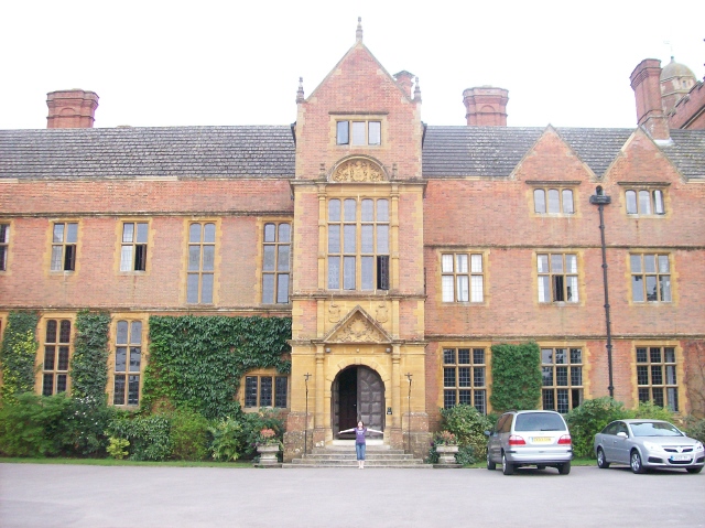
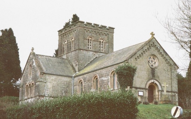
Grant's Copse Images

Images are sourced within 2km of 51.028186/-2.2025613 or Grid Reference ST8525. Thanks to Geograph Open Source API. All images are credited.

Dressed for an occasion A 1947 Jaguar Mk IV saloon shows itself off as a wedding car on weekends. This 3.5 litre example was actually sold to an owner in Belgium, where it spent 51 years on the road before being returned to England. There it received an extensive overhaul and rebuild by 2010. It's first run was in the London to Brighton event and was awarded a 'Best Car' prize.
Dressed for an occasion
A 1947 Jaguar Mk IV saloon shows itself off as a wedding car on weekends. This 3.5 litre example was actually sold to an owner in Belgium, where it spent 51 years on the road before being returned to England. There it received an extensive overhaul and rebuild by 2010. It's first run was in the London to Brighton event and was awarded a 'Best Car' prize.
Best behaviour Judging in one of the equine competitions: keeping everything under control for the slow parts.
Best behaviour
Judging in one of the equine competitions: keeping everything under control for the slow parts.
A handsome chap in the pen A ram is fettled and ready for showing. Even the brasses are polished.
A handsome chap in the pen
A ram is fettled and ready for showing. Even the brasses are polished.
Shaftesbury: dense fog on the A350 It is 1:50 on a Monday morning and my southbound trip on the A350 between Warminster and Blandford Forum is marked by thick fog. 

Here, the street lighting as we enter the suburbs of Shaftesbury, at least provide reasonable visibility but I have been slowed to 25mph for longish stretches in the rural unlit parts, despite knowing the roads well and traffic being almost non-existent at this time of the day. 

Being able to see only three white lines ahead, it is quite disconcerting to realise that, on a road that you think you know in great detail right down to slight bends and awkward potholes, you don't actually know which way the next bend is going to turn.
Shaftesbury: dense fog on the A350
It is 1:50 on a Monday morning and my southbound trip on the A350 between Warminster and Blandford Forum is marked by thick fog. Here, the street lighting as we enter the suburbs of Shaftesbury, at least provide reasonable visibility but I have been slowed to 25mph for longish stretches in the rural unlit parts, despite knowing the roads well and traffic being almost non-existent at this time of the day. Being able to see only three white lines ahead, it is quite disconcerting to realise that, on a road that you think you know in great detail right down to slight bends and awkward potholes, you don't actually know which way the next bend is going to turn.
Old Milepost in Motcombe Metal post with attached metal plate by the UC road, in parish of MOTCOMBE (NORTH DORSET District), opposite village hall exit, against hedge, on West side of road. Erected by the Wincanton turnpike trust in the 19th century. 

Inscription reads:-
SHAFTESBURY
2
MERE
5½ 

Milestone Society National ID: DO_SFME02.
Old Milepost in Motcombe
Metal post with attached metal plate by the UC road, in parish of MOTCOMBE (NORTH DORSET District), opposite village hall exit, against hedge, on West side of road. Erected by the Wincanton turnpike trust in the 19th century. Inscription reads:- SHAFTESBURY 2 MERE 5½ Milestone Society National ID: DO_SFME02.
Old Milestone west of Elm Hill, north of Motcombe Metal plate attached to stone post by the UC road, in parish of MOTCOMBE (NORTH DORSET District), northern end of village, just East of 90 degree bend, by entrance to some farm buildings, by the road, on South side of road. Dorset 3 and 4 (iron plated), erected by the Wincanton turnpike trust in the 19th century. 

Inscription reads:-
SHAFTESBURY
3
MERE
4½ 

Milestone Society National ID: DO_SFME03.
Old Milestone west of Elm Hill, north of Motcombe
Metal plate attached to stone post by the UC road, in parish of MOTCOMBE (NORTH DORSET District), northern end of village, just East of 90 degree bend, by entrance to some farm buildings, by the road, on South side of road. Dorset 3 and 4 (iron plated), erected by the Wincanton turnpike trust in the 19th century. Inscription reads:- SHAFTESBURY 3 MERE 4½ Milestone Society National ID: DO_SFME03.
Bungalow on Homefield, Shaftesbury
Old Milestone by the A350, Semley Common Shaston stone by the A350, in parish of Sedgehill and Semley (Salisbury District), Semley Common, by the road.

Lost since 1970.

Inscription reads:-
II
Miles From
SHASTON
1766
(Shaston is the old name for Shaftesbury)

Milestone Society National ID: WI_WMSH13
Old Milestone by the A350, Semley Common
Shaston stone by the A350, in parish of Sedgehill and Semley (Salisbury District), Semley Common, by the road. Lost since 1970. Inscription reads:- II Miles From SHASTON 1766 (Shaston is the old name for Shaftesbury) Milestone Society National ID: WI_WMSH13
Old Milestone by the A350, Semley Road, north of Shaftesbury Carved stone post by the A350, in parish of DONHEAD ST MARY (SALISBURY District), Semley Road, Shaftesbury; 30m North of lay-by outside reservoir, by the road, on East side of road. Dorset 3 (limestone), erected by the Shaftesbury & New Road to Blandford turnpike trust in the 18th century. 

Inscription reads:-
: (DO)NHEAD / (ST MARY) : : 1 / Mile From / SHASTON / XIII To / BLANDFORD / 1766 : : DONHEAD / ST (MARY) :
Carved benchmark bottom right of front face.

Milestone Society National ID: WI_WMSH14.
Old Milestone by the A350, Semley Road, north of Shaftesbury
Carved stone post by the A350, in parish of DONHEAD ST MARY (SALISBURY District), Semley Road, Shaftesbury; 30m North of lay-by outside reservoir, by the road, on East side of road. Dorset 3 (limestone), erected by the Shaftesbury & New Road to Blandford turnpike trust in the 18th century. Inscription reads:- : (DO)NHEAD / (ST MARY) : : 1 / Mile From / SHASTON / XIII To / BLANDFORD / 1766 : : DONHEAD / ST (MARY) : Carved benchmark bottom right of front face. Milestone Society National ID: WI_WMSH14.
North Gate Toll House, Shaftesbury Toll House by the A350, Grosvenor Road, in the parish of Shaftesbury (North Dorset District), at entrance to Travis Perkins Builders Yard, Littledown, SP7.

Demolished after October 2011.

Surveyed

Milestone Society National ID: DO.SHA01
North Gate Toll House, Shaftesbury
Toll House by the A350, Grosvenor Road, in the parish of Shaftesbury (North Dorset District), at entrance to Travis Perkins Builders Yard, Littledown, SP7. Demolished after October 2011. Surveyed Milestone Society National ID: DO.SHA01
Field adjacent to the Coppleridge Inn, Motcombe Taken from a platform used for outdoor weddings at this site.
Field adjacent to the Coppleridge Inn, Motcombe
Taken from a platform used for outdoor weddings at this site.
Builders Flytip Found just off the A350 Shaftesbury to Warminster Road, on the lane towards Donhead St Mary.
Builders Flytip
Found just off the A350 Shaftesbury to Warminster Road, on the lane towards Donhead St Mary.
Grazing Donkeys at Semley Common These donkeys are about forty years old and have grazed on the common for most of their lives.  The srapyard is in the background.
Grazing Donkeys at Semley Common
These donkeys are about forty years old and have grazed on the common for most of their lives. The srapyard is in the background.
St Mary's Church, Motcombe The church was built in 1846.
St Mary's Church, Motcombe
The church was built in 1846.
St Mary's Churchyard Remains of a cross in the churchyard and the school in the background.
St Mary's Churchyard
Remains of a cross in the churchyard and the school in the background.
Churchyard of St Mary's Church
Lichen covered Tomb at St Mary's Church
Font in St Mary's Church The font dates from the 13th century and the cover from the 17th century.
Font in St Mary's Church
The font dates from the 13th century and the cover from the 17th century.
Show me another place!

Grant's Copse is located at Grid Ref: ST8525 (Lat: 51.028186, Lng: -2.2025613)

Unitary Authority: Dorset

Police Authority: Dorset

What 3 Words

///confetti.firelight.positives. Near Motcombe, Dorset

Nearby Locations

Grant's Copse

Related Wikis

Motcombe

Motcombe is a village and civil parish in north Dorset, England. It lies about two miles (three kilometres) north of Shaftesbury. It is sited on Kimmeridge...

Port Regis School

Port Regis School is a co-educational preparatory school located in 140 acres of parkland on the Dorset-Wiltshire border in southern England, situated...

Semley railway station

Semley was a railway station in Wiltshire, England. It was served by trains on the West of England Main Line and was the railhead for the town of Shaftesbury...

Higher Wincombe

Higher Wincombe is a farm and small hamlet in the parish of Donhead St Mary, Wiltshire, England. It lies at the head of the Nadder Valley, just beyond...

The Breeze (North Dorset)

Greatest Hits Radio Dorset (North Dorset) is an Independent Local Radio station serving North Dorset. == History == Launched on 25 June 1995 as Gold Radio...

St John's Church, Enmore Green

St John's Church is a Church of England parish church in Enmore Green, Dorset, England. The church was designed by George Alexander and built in 1842–43...

Shaftesbury

Shaftesbury () is a town and civil parish in Dorset, England. It is on the A30 road, 20 miles (32 kilometres) west of Salisbury and 19.4 miles (31 kilometres...

North Dorset (UK Parliament constituency)

North Dorset is a constituency represented in the House of Commons of the UK Parliament since 2015 by Simon Hoare, a Conservative. == History == This seat...

Nearby Amenities

Located within 500m of 51.028186,-2.2025613
Barrier: stile
Lat/Long: 51.0309849/-2.2053887
Barrier: stile
Lat/Long: 51.0309292/-2.2041286
Barrier: stile
Lat/Long: 51.0315105/-2.2012712
Power: tower
Source: bing
Lat/Long: 51.0241658/-2.200411
Power: tower
Source: bing
Lat/Long: 51.0257726/-2.1996208
Power: tower
Source: bing
Lat/Long: 51.0274431/-2.1986928
Power: tower
Source: bing
Lat/Long: 51.0289942/-2.1978959
Power: tower
Source: bing
Lat/Long: 51.0303865/-2.1971616
Barrier: stile
Lat/Long: 51.0309249/-2.2043181
Barrier: stile
Lat/Long: 51.0315083/-2.2013424
The data included in this document is from www.openstreetmap.org. The data is made available under ODbL.

Have you been to Grant's Copse?

Leave your review of Grant's Copse below (or comments, questions and feedback).