The Majors Wood
Wood, Forest in Staffordshire Stafford
England
The Majors Wood
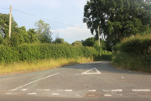
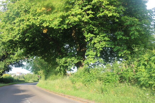
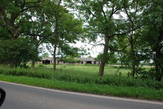
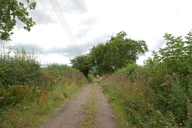
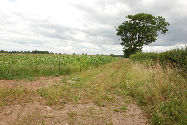
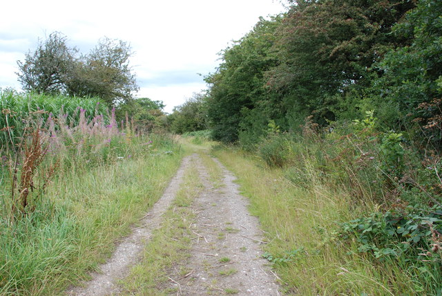
The Majors Wood, located in Staffordshire, is an expansive forest area known for its natural beauty and recreational opportunities. Covering a vast area of woodland, it provides a tranquil escape from the bustling city life and offers a variety of activities for visitors to enjoy.
The woodland is primarily composed of broadleaf trees, including oak, birch, and beech, which create a dense canopy overhead. This provides a shaded and cool environment, making it an ideal spot for nature enthusiasts, hikers, and picnickers. The forest floor is carpeted with a rich layer of moss, ferns, and wildflowers, creating a picturesque landscape.
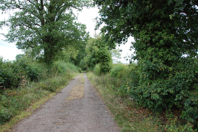
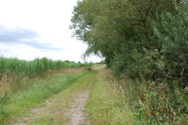
Several well-maintained trails wind through The Majors Wood, allowing visitors to explore its diverse ecosystem. These trails cater to all levels of fitness, from easy strolls to more challenging hikes. Along the way, one may encounter a wide variety of wildlife, including deer, squirrels, and a myriad of bird species.
In addition to its natural beauty, The Majors Wood also offers recreational facilities such as picnic areas and designated camping spots. These amenities make it an attractive destination for families, outdoor enthusiasts, and those seeking a peaceful retreat.
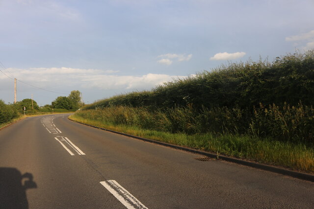
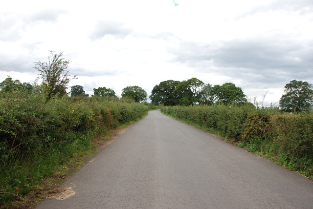
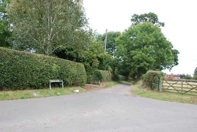
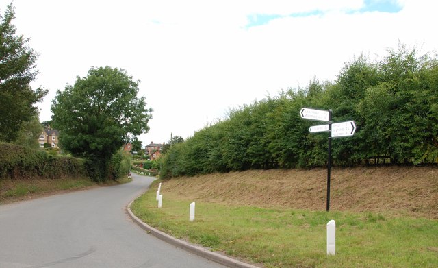
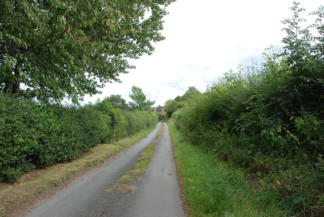
The forest is easily accessible, located just a short drive from the nearby town. Its proximity to Staffordshire's urban areas makes it a popular destination for day trips or weekend getaways. Whether one seeks solitude in nature or an active day out, The Majors Wood in Staffordshire provides a stunning setting to relax and connect with the natural world.
If you have any feedback on the listing, please let us know in the comments section below.
The Majors Wood Images
Images are sourced within 2km of 52.840707/-2.2124759 or Grid Reference SJ8527. Thanks to Geograph Open Source API. All images are credited.

The Majors Wood is located at Grid Ref: SJ8527 (Lat: 52.840707, Lng: -2.2124759)
Administrative County: Staffordshire
District: Stafford
Police Authority: Staffordshire
What 3 Words
///divorcing.fruitcake.explorer. Near Eccleshall, Staffordshire
Nearby Locations
Related Wikis

Walton Hall Academy
Walton Hall Academy (formerly Walton Hall Community Special School) is a mixed special school of approximately 150 pupils. The school is based in Eccleshall...
Ellenhall
Ellenhall is a small Staffordshire village roughly 2.5 miles south of Eccleshall originally comprising part of the extensive estates of the Earl of Lichfield...
Chebsey
Chebsey is a small village in Staffordshire 2.5 miles southeast of Eccleshall on a confluence of Eccleshall water and the River Sow some 5 miles northwest...

Seighford Hall
Seighford Hall is a house that lies slightly to north-west of the core of Seighford, England. It appears to have later- 16th to early-17th origins but...

Great Bridgeford railway station
Great Bridgeford railway station served the village of Great Bridgeford, Staffordshire, England from 1837 to 1959 on the Stafford-Manchester line. ��2...

Izaak Walton's Cottage
The Izaak Walton Cottage is a seventeenth-century timber framed building in Shallowford, Chebsey, Staffordshire, England. It belonged to the writer Izaak...

Ranton, Staffordshire
Ranton is a small hamlet in Staffordshire, England, situated 3.5 miles (5.6 km) west of Stafford, 2.5 miles (4.0 km) east of Woodseaves and 2 miles (3...
Norton Bridge, Staffordshire
Norton Bridge is a village in Staffordshire, England. Until May 2004 it was served by Norton Bridge railway station. == Amenities == At present, Norton...
Have you been to The Majors Wood?
Leave your review of The Majors Wood below (or comments, questions and feedback).