Long Covert
Wood, Forest in Staffordshire Stafford
England
Long Covert
Long Covert is a small village located in Staffordshire, England. Situated within a dense woodland area, it is known for its picturesque surroundings and tranquil atmosphere. The village is bordered by ancient forests, which contribute to its unique charm and appeal.
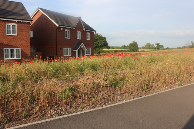
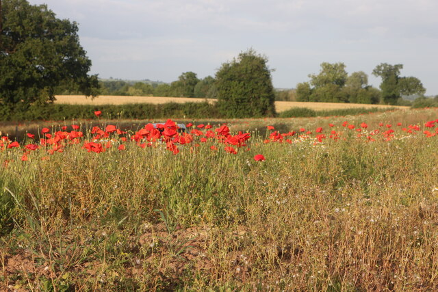
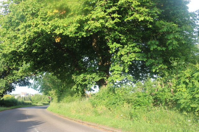
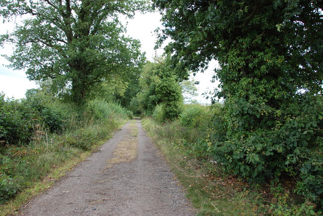
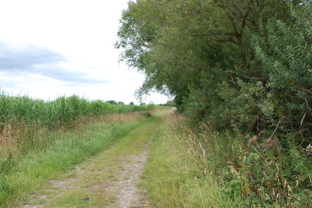
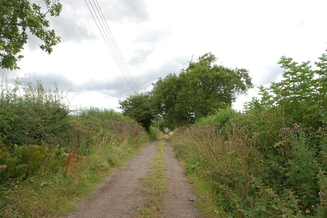
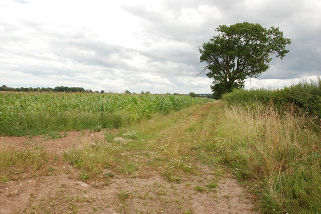
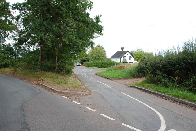
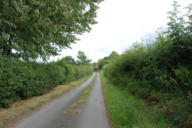
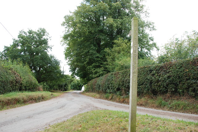
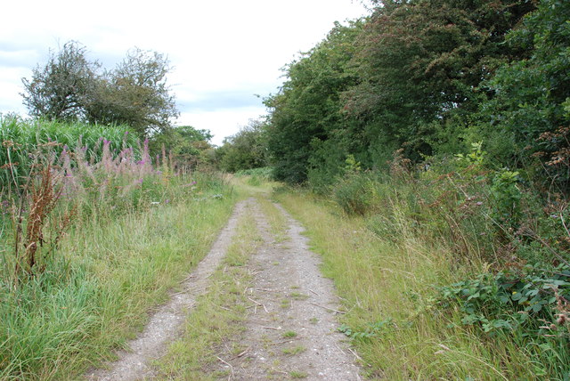
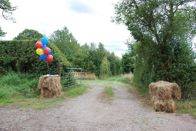
The main feature of Long Covert is its expansive woodlands, which cover a significant portion of the village's landscape. These dense forests are home to a variety of wildlife, including deer, squirrels, and various bird species. The area is a popular destination for nature enthusiasts, offering opportunities for hiking, birdwatching, and peaceful walks amidst the serene surroundings.
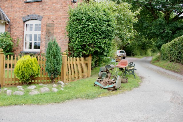
The village itself is relatively small, with a population of around 500 residents. The local community is tight-knit and friendly, with a strong sense of community spirit. Long Covert boasts a few essential amenities, including a village hall, a small convenience store, and a charming local pub.
The history of Long Covert dates back centuries, with evidence of human habitation in the area since medieval times. The village has managed to retain its traditional character, with many of its buildings still reflecting the architectural style of the past.
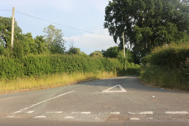
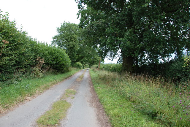
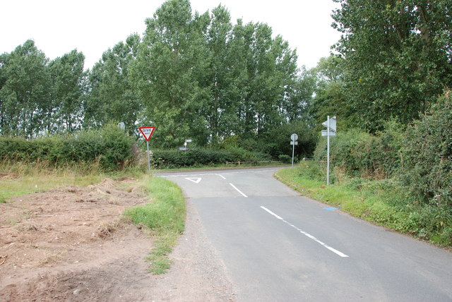
Long Covert is well-connected to nearby towns and cities, with accessible road links and public transportation options. Despite its rural location, the village offers a peaceful retreat from the bustling city life, making it an ideal place for those seeking tranquility and a closer connection to nature.
If you have any feedback on the listing, please let us know in the comments section below.
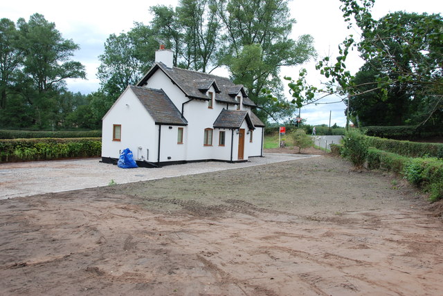
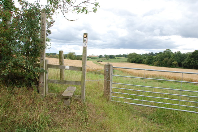
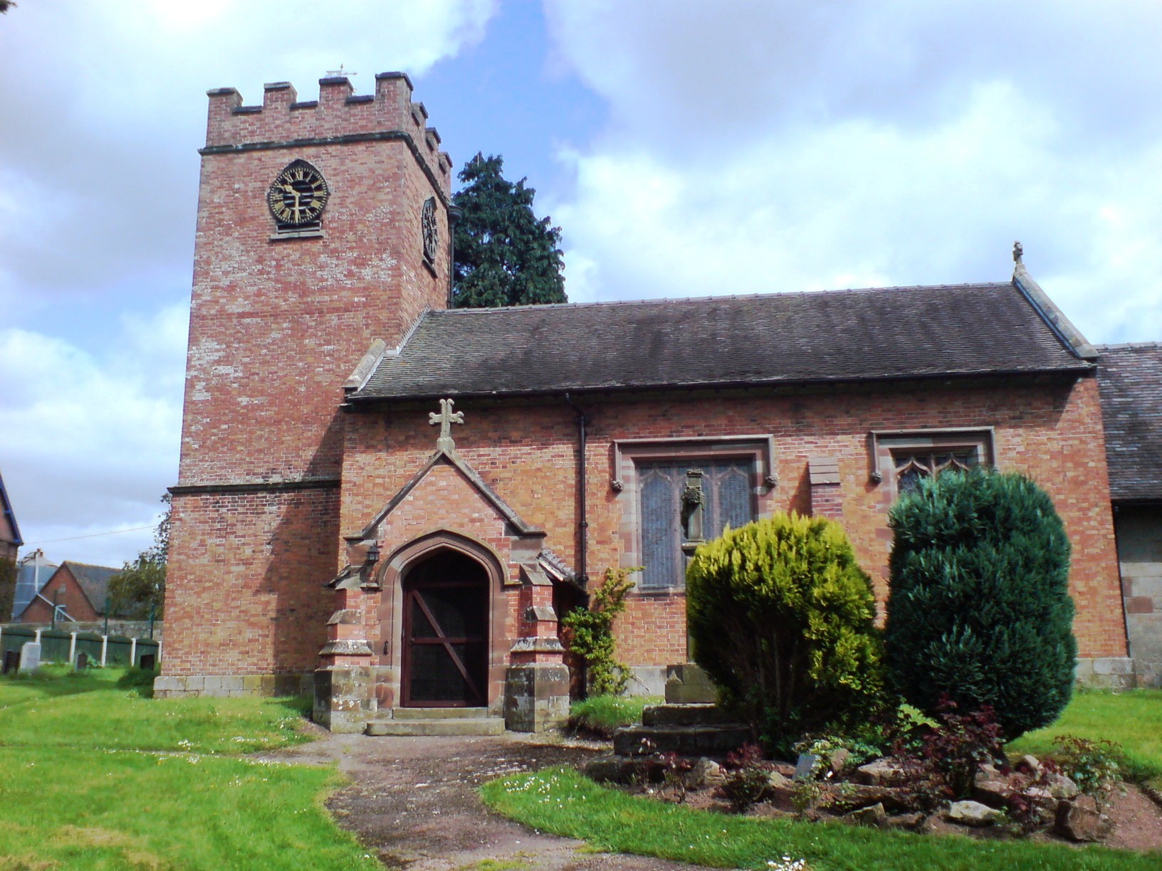
Long Covert Images
Images are sourced within 2km of 52.848708/-2.2173556 or Grid Reference SJ8527. Thanks to Geograph Open Source API. All images are credited.
Long Covert is located at Grid Ref: SJ8527 (Lat: 52.848708, Lng: -2.2173556)
Administrative County: Staffordshire
District: Stafford
Police Authority: Staffordshire
What 3 Words
///meant.moderated.tribal. Near Eccleshall, Staffordshire
Nearby Locations
Related Wikis

Walton Hall Academy
Walton Hall Academy (formerly Walton Hall Community Special School) is a mixed special school of approximately 150 pupils. The school is based in Eccleshall...
Chebsey
Chebsey is a small village in Staffordshire 2.5 miles southeast of Eccleshall on a confluence of Eccleshall water and the River Sow some 5 miles northwest...
Ellenhall
Ellenhall is a small Staffordshire village roughly 2.5 miles south of Eccleshall originally comprising part of the extensive estates of the Earl of Lichfield...
Norton Bridge, Staffordshire
Norton Bridge is a village in Staffordshire, England. Until May 2004 it was served by Norton Bridge railway station. == Amenities == At present, Norton...

Izaak Walton's Cottage
The Izaak Walton Cottage is a seventeenth-century timber framed building in Shallowford, Chebsey, Staffordshire, England. It belonged to the writer Izaak...

Eccleshall
Eccleshall () is a town and civil parish in the Stafford district, in the county of Staffordshire, England. It is located seven miles northwest of Stafford...
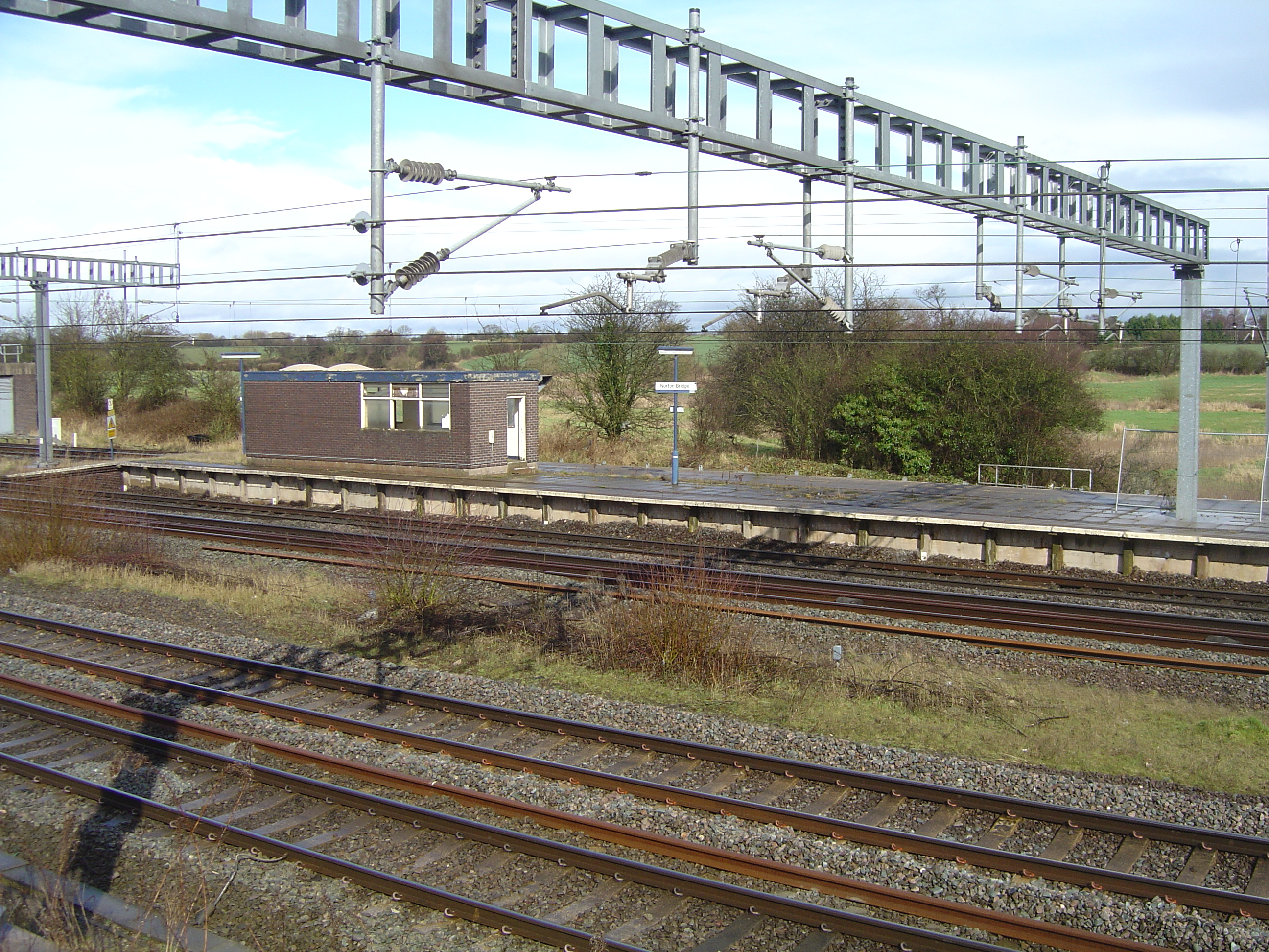
Norton Bridge railway station
Norton Bridge railway station was a railway station located on the West Coast Main Line and served both the village of Norton Bridge and the town of Eccleshall...

Eagle House, Eccleshall
Eagle House is a Grade II listed building in the Staffordshire town of Eccleshall, England, which is currently an award winning bed and breakfast. ��2...
Nearby Amenities
Located within 500m of 52.848708,-2.2173556Have you been to Long Covert?
Leave your review of Long Covert below (or comments, questions and feedback).