Hextall Covert

Wood, Forest in Staffordshire Stafford

England

Hextall Covert

Old entrance to Abbey House, Ranton The lodge remains.
Old entrance to Abbey House, Ranton Credit: Jeremy Bolwell

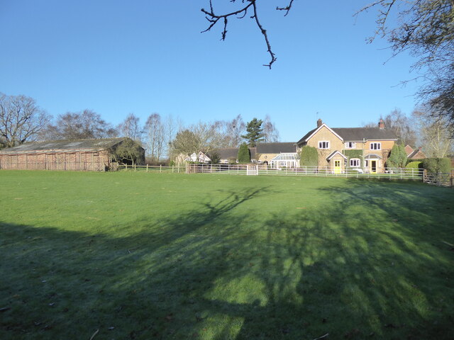
Hextall Covert is a charming woodland area located in the county of Staffordshire, England. Nestled amidst the picturesque countryside, this forested haven is a popular destination for nature lovers and outdoor enthusiasts alike.

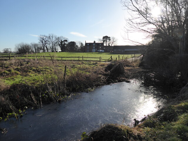
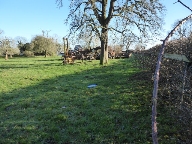
Covering an expansive area, Hextall Covert boasts a diverse range of flora and fauna. Towering oak and beech trees dominate the landscape, providing a rich canopy that shields visitors from the elements. The forest floor is adorned with a carpet of vibrant wildflowers, adding a splash of color to the surroundings. Wildlife thrives within these woodlands, with an array of birds, mammals, and insects calling Hextall Covert their home.

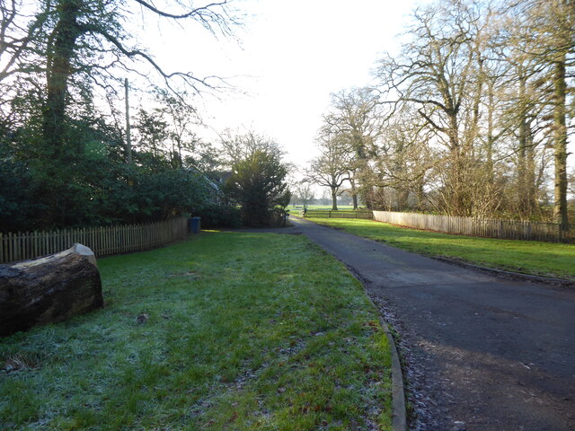
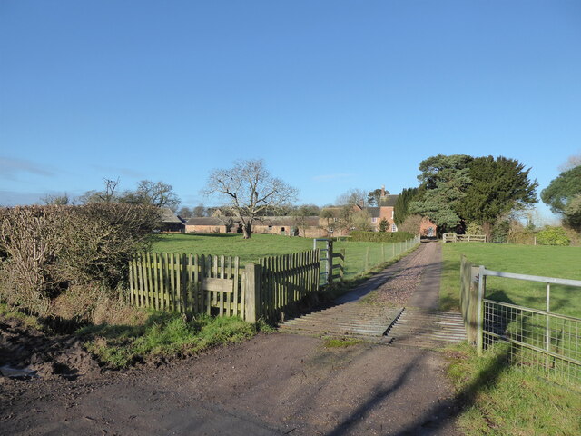
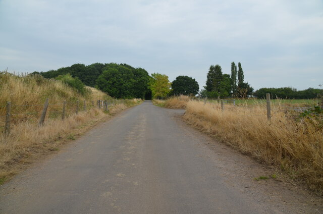
The forest offers a network of well-maintained walking trails, allowing visitors to explore its natural beauty at their own pace. These paths wind through dense foliage, offering glimpses of the tranquil streams and ponds that dot the landscape. The air is filled with the soothing sounds of chirping birds and rustling leaves, providing a serene ambiance for those seeking solace in nature.

In addition to its natural beauty, Hextall Covert also boasts several recreational facilities. Picnic areas are scattered throughout the forest, providing a perfect spot for families and friends to enjoy a leisurely outdoor meal. The forest also offers designated camping areas, allowing visitors to spend the night under the starry sky, surrounded by the peaceful sounds of the woodland.

Overall, Hextall Covert is a true gem in the heart of Staffordshire. Its breathtaking scenery, abundant wildlife, and recreational opportunities make it a must-visit destination for anyone looking to reconnect with nature and experience the tranquility of a woodland retreat.

If you have any feedback on the listing, please let us know in the comments section below.

Hextall Covert Images

Images are sourced within 2km of 52.824839/-2.2136449 or Grid Reference SJ8525. Thanks to Geograph Open Source API. All images are credited.

Old entrance to Abbey House, Ranton The lodge remains.
Old entrance to Abbey House, Ranton
The lodge remains.
Frozen culvert near Ranton Hall farm I love and relish wintry walks. They are sometimes too rare. Even a drainage ditch is rendered an excess of grace and beauty after a frosty morning.
Frozen culvert near Ranton Hall farm
I love and relish wintry walks. They are sometimes too rare. Even a drainage ditch is rendered an excess of grace and beauty after a frosty morning.
Beef cattle at Ranton Hall farm These happy, healthy looking beef cattle are enjoying life at Ranton Hall farm.
Beef cattle at Ranton Hall farm
These happy, healthy looking beef cattle are enjoying life at Ranton Hall farm.
Ranton Hall farm Nice place. Remnant of a moat way back there somewhere too.
Ranton Hall farm
Nice place. Remnant of a moat way back there somewhere too.
Pile of junk in front of Ranton Hall farm Looks like they've had a clear out; there is quite an assortment here, from old corners are god knows where.
Pile of junk in front of Ranton Hall farm
Looks like they've had a clear out; there is quite an assortment here, from old corners are god knows where.
Stile with a view into the field My footpath lies somewhere down there, I think.
Stile with a view into the field
My footpath lies somewhere down there, I think.
Footpath line across the field Good to see this path is often walked.
Footpath line across the field
Good to see this path is often walked.
Redundant stile in the field boundary This noble old stile caught my eye, with its moss covered step. Long bypassed by a hole in the hedge. I thought I would commemorate the stile with a photo.
Redundant stile in the field boundary
This noble old stile caught my eye, with its moss covered step. Long bypassed by a hole in the hedge. I thought I would commemorate the stile with a photo.
Footpath line across fields Oooh! I need to wander off down there then...
Footpath line across fields
Oooh! I need to wander off down there then...
View to Brook House Farm from the nearby footpath Really nice place.
View to Brook House Farm from the nearby footpath
Really nice place.
Reed bed in sunshine I really love a reedbed, especially in a good light.
Reed bed in sunshine
I really love a reedbed, especially in a good light.
Frozen patch of ice on the lane that looks like a map of Wales Is it just me or does this patch of ice resemble a view of Wales from space?
Frozen patch of ice on the lane that looks like a map of Wales
Is it just me or does this patch of ice resemble a view of Wales from space?
Former RAF Seighford  / 6th Gear Car Driving Experience, Seighford Built in 1942 as a satellite/relief landing ground for RAF Hixon, 7.5 miles (12.1 km) to the east. It is currently used as a car driving experience day. I was there to lap in an Audi R8 / Aston Martin Vantage V8 Roadster / Lamborghini Gallardo LP570-4 Superleggera.. Good fun :)
Former RAF Seighford / 6th Gear Car Driving Experience, Seighford
Built in 1942 as a satellite/relief landing ground for RAF Hixon, 7.5 miles (12.1 km) to the east. It is currently used as a car driving experience day. I was there to lap in an Audi R8 / Aston Martin Vantage V8 Roadster / Lamborghini Gallardo LP570-4 Superleggera.. Good fun :)
Road crossing end of Seighford Airfield disused runway Clanford Lane near Seighford crossing the south-west end of the former RAF Airfield runway. Tarmac covers the original concrete slabs of the runway and their outline can be seen in the tarmac. On the left, hidden from view by an earth bank, is the main part of the runway, which is used for driving experiences in top-of-the-range cars.
Road crossing end of Seighford Airfield disused runway
Clanford Lane near Seighford crossing the south-west end of the former RAF Airfield runway. Tarmac covers the original concrete slabs of the runway and their outline can be seen in the tarmac. On the left, hidden from view by an earth bank, is the main part of the runway, which is used for driving experiences in top-of-the-range cars.
Disused runway of Seighford airfield, Staffordshire Looking south-west to the end of the runway. The outline of the original concrete slabs making up the runway can be seen in the pattern of weeds and raised parts of the surface (or by looking on Google Earth). This part was used for HGV (trucks) and PSV (buses and coaches) training. There were portable offices on-site. All that remains are some abandoned traffic cones
Disused runway of Seighford airfield, Staffordshire
Looking south-west to the end of the runway. The outline of the original concrete slabs making up the runway can be seen in the pattern of weeds and raised parts of the surface (or by looking on Google Earth). This part was used for HGV (trucks) and PSV (buses and coaches) training. There were portable offices on-site. All that remains are some abandoned traffic cones
Victorian wall-mounted postbox, Seighford near Stafford A Victorian wall-mounted postbox on Clanford Road, Seighford near Stafford.
Victorian wall-mounted postbox, Seighford near Stafford
A Victorian wall-mounted postbox on Clanford Road, Seighford near Stafford.
Approaching Ranton House, Ranton
The Road into Ranton Village
Show me another place!

Hextall Covert is located at Grid Ref: SJ8525 (Lat: 52.824839, Lng: -2.2136449)

Administrative County: Staffordshire

District: Stafford

Police Authority: Staffordshire

What 3 Words

///messed.sideburns.swarm. Near Eccleshall, Staffordshire

Related Wikis

Ranton, Staffordshire

Ranton is a small hamlet in Staffordshire, England, situated 3.5 miles (5.6 km) west of Stafford, 2.5 miles (4.0 km) east of Woodseaves and 2 miles (3...
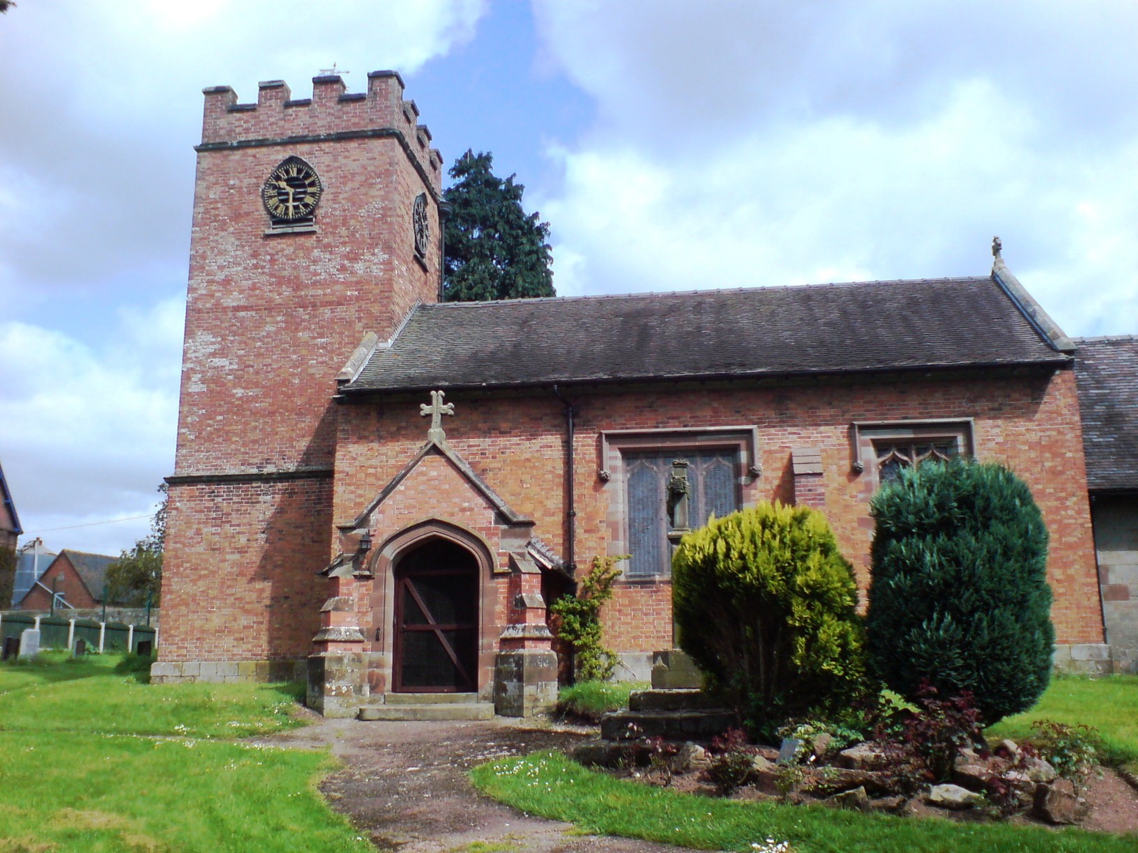
Ellenhall

Ellenhall is a small Staffordshire village roughly 2.5 miles south of Eccleshall originally comprising part of the extensive estates of the Earl of Lichfield...

Seighford Hall

Seighford Hall is a house that lies slightly to north-west of the core of Seighford, England. It appears to have later- 16th to early-17th origins but...

Abbey House, Ranton

Abbey House is an early 19th-century ruined stately home in Ranton, Staffordshire, England. == History == The red-brick Regency house was built in 1820...
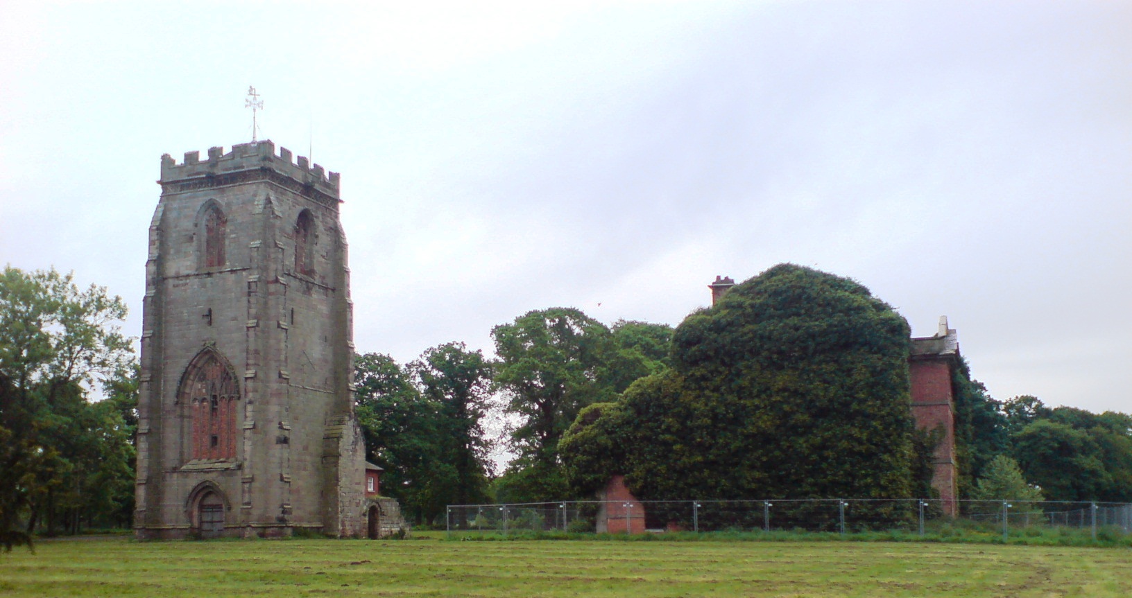
Ranton Abbey

Ranton Abbey or Ranton Priory was an Augustinian Priory in Ranton, Staffordshire, England, built c.1150 by Robert fitz Noel of Ellenhall. The priory flourished...

Seighford

Seighford ( SY-fərd) is a village and civil parish about 3 miles (5 km) west of Stafford in Staffordshire, England. The population of this civil parish...

Coton Clanford

Coton Clanford is a small dispersed Staffordshire village lying in gently rolling countryside 3 miles due west of Stafford, England, and 1 mile southeast...

Ranton Green

Ranton Green is a small village in Staffordshire about a mile southwest of Ranton, Staffordshire and a mile northeast of Gnosall. It consists of a few...

Nearby Amenities

Located within 500m of 52.824839,-2.2136449
Bus Stop
Five Lanes Ends
Bus: yes
Naptan AtcoCode: 3800C703400
Naptan Bearing: N
Naptan CommonName: Five Lanes Ends
Naptan Indicator: Adj
Naptan Landmark: Five Lanes Ends
Naptan Street: Hextall Lane
Naptan Verified: no
Public Transport: platform
Source: naptan_import
Lat/Long: 52.8261596/-2.2157773
Bus Stop
Hextall Lane
Bus: yes
Naptan AtcoCode: 3800C703401
Naptan Bearing: S
Naptan CommonName: Hextall Lane
Naptan Indicator: Adj
Naptan Landmark: B5405
Naptan Street: Hextall Lane
Naptan Verified: no
Public Transport: platform
Source: naptan_import
Lat/Long: 52.8263757/-2.2155706
The data included in this document is from www.openstreetmap.org. The data is made available under ODbL.

Have you been to Hextall Covert?

Leave your review of Hextall Covert below (or comments, questions and feedback).