Broad Carr Wood
Wood, Forest in Yorkshire Richmondshire
England
Broad Carr Wood
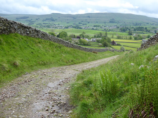
Broad Carr Wood is a picturesque woodland located in Yorkshire, England. Covering an area of approximately 50 hectares, this enchanting forest is a haven for nature enthusiasts and a popular destination for outdoor activities.
The wood is characterized by a diverse range of trees, including oak, birch, and beech, which create a dense canopy that provides a cool and tranquil atmosphere. The forest floor is covered in a lush carpet of ferns, mosses, and wildflowers, adding to its ethereal beauty.
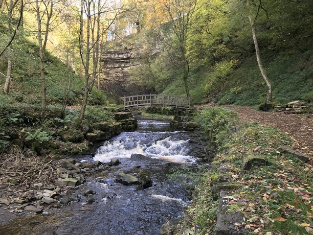
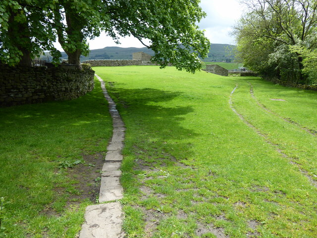
Traversing through Broad Carr Wood, visitors can explore a network of well-maintained footpaths that wind their way through the woodland. These paths offer breathtaking views of the surrounding countryside, with glimpses of rolling hills and meandering streams.
The wood also boasts a wide variety of wildlife, making it a haven for birdwatchers and nature photographers. Species such as woodpeckers, owls, and deer can often be spotted amongst the trees, adding a touch of magic to any visit.
Furthermore, Broad Carr Wood is a popular spot for recreational activities such as hiking, picnicking, and nature walks. Its peaceful ambiance and secluded location make it an ideal place for families and individuals looking to escape the hustle and bustle of everyday life.
Overall, Broad Carr Wood is a hidden gem in Yorkshire, offering a serene and enchanting experience for those seeking solace in nature. With its diverse flora and fauna, breathtaking views, and a range of outdoor activities, it is a must-visit destination for both locals and tourists alike.
If you have any feedback on the listing, please let us know in the comments section below.
Broad Carr Wood Images
Images are sourced within 2km of 54.320427/-2.2213904 or Grid Reference SD8591. Thanks to Geograph Open Source API. All images are credited.


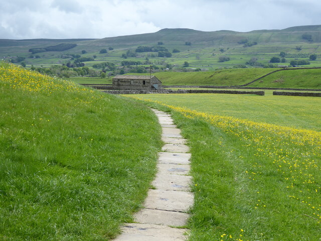
![Pry House, Appersett Farmland in upper Wensleydale.
[Image formed from 2 photos merged together.]](https://s0.geograph.org.uk/geophotos/07/23/49/7234920_6836e27c.jpg)


Broad Carr Wood is located at Grid Ref: SD8591 (Lat: 54.320427, Lng: -2.2213904)
Division: North Riding
Administrative County: North Yorkshire
District: Richmondshire
Police Authority: North Yorkshire
What 3 Words
///adjusted.quoted.present. Near Kirkby Stephen, Cumbria
Nearby Locations
Related Wikis

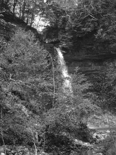
Cotter Force
Cotter Force is a small waterfall on Cotterdale Beck, a minor tributary of the River Ure, near the mouth of Cotterdale, a side dale in Wensleydale, North...

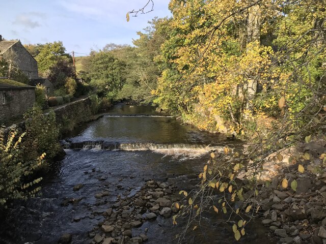
Appersett
Appersett is a hamlet in the Yorkshire Dales in the Richmondshire district of North Yorkshire, England one mile (1.6 km) west of Hawes. It lies on the...

Hardraw
Hardraw is a hamlet near Hawes within the Yorkshire Dales in North Yorkshire, England. It takes its name from the nearby Hardraw Force waterfall. The old...

St Mary and St John's Church, Hardraw
St Mary and St John's Church, Hardraw (also Hardrow) is a Grade II listed parish church in the Church of England: 181 in Hardraw, North Yorkshire. �...

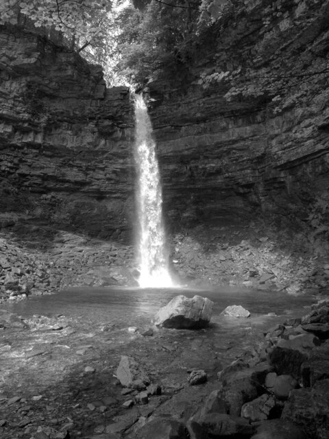
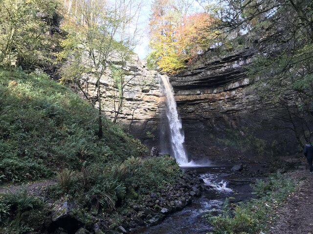
Hardraw Force
Hardraw Force (OS grid ref: SD869917) is a waterfall on Hardraw Beck in Hardraw Scar, a wooded ravine just outside the hamlet of Hardraw, 0.9 miles (1...

Simonstone, North Yorkshire
Simonstone is a hamlet near Hawes and Hardraw Force within the Yorkshire Dales in North Yorkshire, England. == References ==
Stone House, Hawes
Stone House is a Grade II listed building in the civil parish of High Abbotside, near Hawes, North Yorkshire, England. == History == Stone House was built...

Hawes
Hawes is a market town and civil parish in North Yorkshire, England, at the head of Wensleydale in the Yorkshire Dales, and historically in the North Riding...
Nearby Amenities
Located within 500m of 54.320427,-2.2213904Have you been to Broad Carr Wood?
Leave your review of Broad Carr Wood below (or comments, questions and feedback).