Hen and Chicken Covert

Wood, Forest in Worcestershire Malvern Hills

England

Hen and Chicken Covert

Timber-framed cottage Trees have been cut down opening this timber-framed cottage to the passing road at Queenhill.  The cottage is Grade II listed <span class="nowrap"><a title="https://historicengland.org.uk/listing/the-list/list-entry/1273873" rel="nofollow ugc noopener" href="https://historicengland.org.uk/listing/the-list/list-entry/1273873">Link</a><img style="margin-left:2px;" alt="External link" title="External link - shift click to open in new window" src="https://s1.geograph.org.uk/img/external.png" width="10" height="10"/></span>  It dates from the 17th century and in the 19th century was altered into a School House.
Timber-framed cottage Credit: Philip Halling

Hen and Chicken Covert is a woodland area located in Worcestershire, England. Situated within the larger expanse of the Wyre Forest, it covers an area of approximately 50 hectares. The covert derives its name from a prominent rock formation resembling a hen and her chicks, which can be found at the site.

The woodland is predominantly composed of broadleaf trees, including oak, birch, and beech, creating a diverse and verdant habitat. It is known for its rich biodiversity, supporting a range of plant and animal species. Bluebells, wood anemones, and wild garlic carpet the forest floor during spring, creating a stunning display of colors.

A network of well-maintained footpaths and trails allows visitors to explore the covert and enjoy its natural beauty. The area is popular among hikers, nature enthusiasts, and families seeking a peaceful retreat. Hen and Chicken Covert also offers opportunities for wildlife observation, with various bird species, such as woodpeckers and tawny owls, frequently spotted in the trees.

The woodland is managed by the Forestry Commission, which ensures its conservation and public accessibility. In addition to its ecological significance, Hen and Chicken Covert holds historical value, as it was once part of the Royal Forest of Feckenham, which provided hunting grounds for the monarchy.

Overall, Hen and Chicken Covert is a remarkable woodland area in Worcestershire, offering a tranquil escape amidst nature's beauty. Its diverse flora and fauna, combined with its historical significance, make it a cherished destination for both locals and visitors.

If you have any feedback on the listing, please let us know in the comments section below.

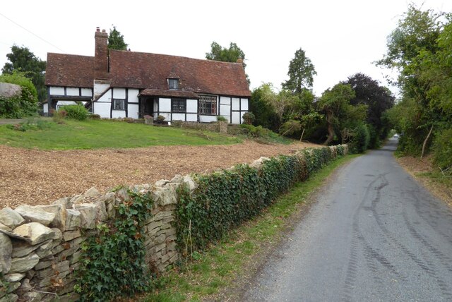
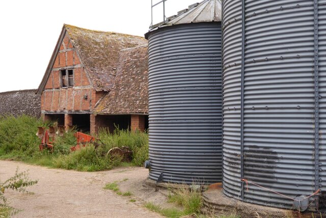
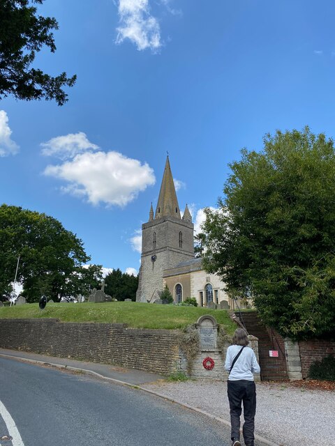
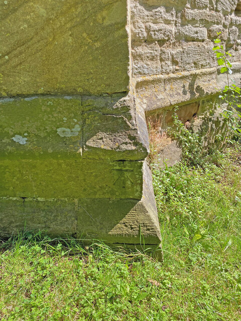
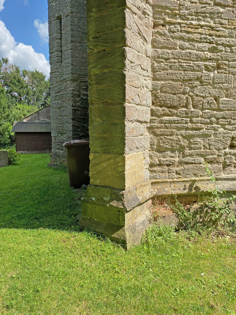
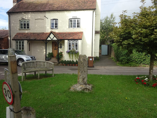
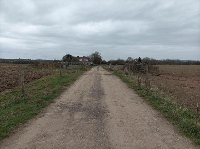
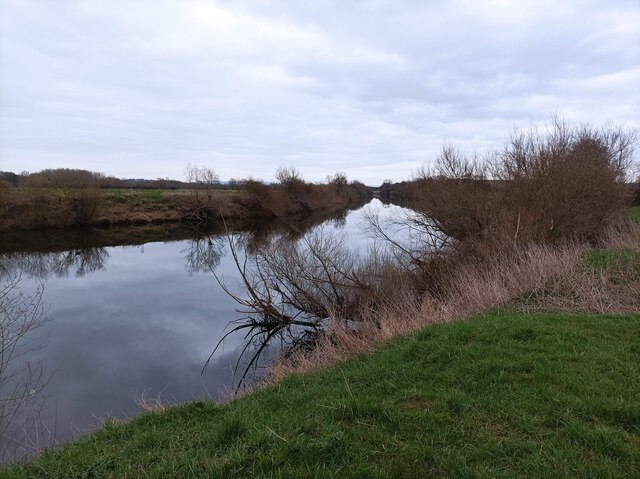
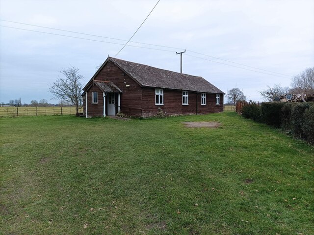
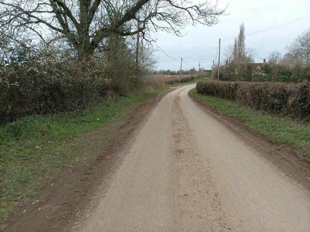
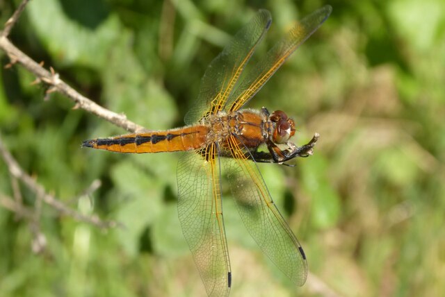
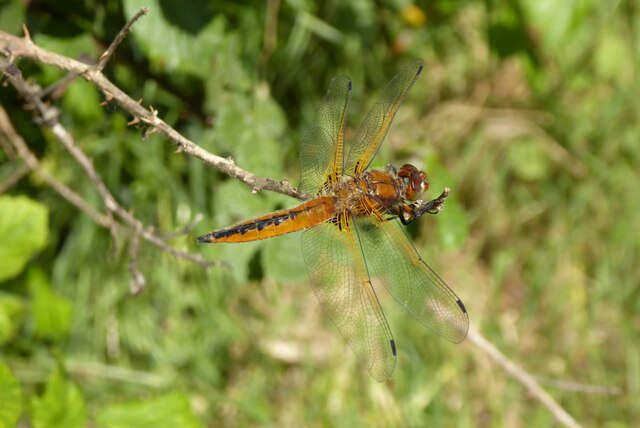
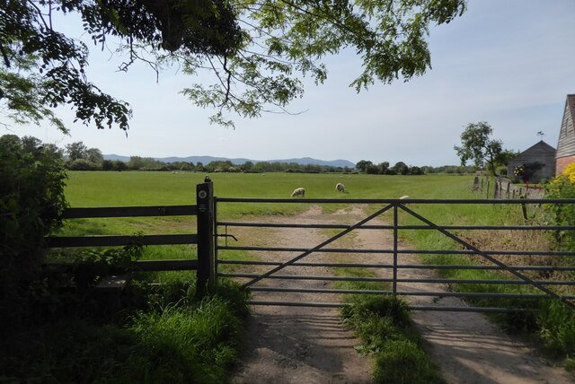
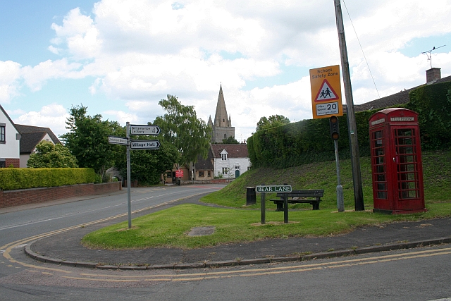
Hen and Chicken Covert Images

Images are sourced within 2km of 52.031859/-2.2155544 or Grid Reference SO8537. Thanks to Geograph Open Source API. All images are credited.

Timber-framed cottage Trees have been cut down opening this timber-framed cottage to the passing road at Queenhill.  The cottage is Grade II listed <span class="nowrap"><a title="https://historicengland.org.uk/listing/the-list/list-entry/1273873" rel="nofollow ugc noopener" href="https://historicengland.org.uk/listing/the-list/list-entry/1273873">Link</a><img style="margin-left:2px;" alt="External link" title="External link - shift click to open in new window" src="https://s1.geograph.org.uk/img/external.png" width="10" height="10"/></span>  It dates from the 17th century and in the 19th century was altered into a School House.
Timber-framed cottage
Trees have been cut down opening this timber-framed cottage to the passing road at Queenhill. The cottage is Grade II listed LinkExternal link It dates from the 17th century and in the 19th century was altered into a School House.
Traditional timber-framed barn Traditional timber-framed barn at Heath Hill Farm.  Viewed here from the road passing the farm.
Traditional timber-framed barn
Traditional timber-framed barn at Heath Hill Farm. Viewed here from the road passing the farm.
Longdon Church
Longdon Church
OS Cut Mark - Longdon, St Mary's Church <span class="nowrap"><a title="https://www.bench-marks.org.uk/bm64871" rel="nofollow ugc noopener" href="https://www.bench-marks.org.uk/bm64871">Link</a><img style="margin-left:2px;" alt="External link" title="External link - shift click to open in new window" src="https://s1.geograph.org.uk/img/external.png" width="10" height="10"/></span>
OS Cut Mark - Longdon, St Mary's Church
Section of St Mary's Church, Longdon
Longdon Houses in the village of Longdon along with the church spire viewed from Longdon Marsh.
Longdon
Houses in the village of Longdon along with the church spire viewed from Longdon Marsh.
Wayside Cross, Ripple On a triangle of grass at the road junction in the Uckinghall hamlet of Ripple village, Worcestershire. This view looks west to "Old Cross House". The road on the left is a dead end leading to the River Severn. The old shaft & base are contemporary, and medieval. There is another Wayside Cross in the village and a market cross in the churchyard. See images <a title="https://www.geograph.org.uk/article/Wayside-Crosses-Ripple-Worcestershire" href="https://www.geograph.org.uk/article/Wayside-Crosses-Ripple-Worcestershire">Link</a> .

A "Scheduled Monument" List No. 1014906 <span class="nowrap"><a title="https://historicengland.org.uk/listing/the-list/list-entry/1014906" rel="nofollow ugc noopener" href="https://historicengland.org.uk/listing/the-list/list-entry/1014906">Link</a><img style="margin-left:2px;" alt="External link" title="External link - shift click to open in new window" src="https://s1.geograph.org.uk/img/external.png" width="10" height="10"/></span> and a Grade II Listed Building No. 1302491 <span class="nowrap"><a title="https://historicengland.org.uk/listing/the-list/list-entry/1302491" rel="nofollow ugc noopener" href="https://historicengland.org.uk/listing/the-list/list-entry/1302491">Link</a><img style="margin-left:2px;" alt="External link" title="External link - shift click to open in new window" src="https://s1.geograph.org.uk/img/external.png" width="10" height="10"/></span>.

Milestone Society National ID: WOMH_RIP01
Wayside Cross, Ripple
On a triangle of grass at the road junction in the Uckinghall hamlet of Ripple village, Worcestershire. This view looks west to "Old Cross House". The road on the left is a dead end leading to the River Severn. The old shaft & base are contemporary, and medieval. There is another Wayside Cross in the village and a market cross in the churchyard. See images Link . A "Scheduled Monument" List No. 1014906 LinkExternal link and a Grade II Listed Building No. 1302491 LinkExternal link. Milestone Society National ID: WOMH_RIP01
The Plough Inn, Longdon The Plough Inn at Longdon pictured here in 1974.  Closed for many years and now a private house I can remember going to this pub when I was younger and also played skittles here.  The skittles alley was in the building on the left.
The Plough Inn, Longdon
The Plough Inn at Longdon pictured here in 1974. Closed for many years and now a private house I can remember going to this pub when I was younger and also played skittles here. The skittles alley was in the building on the left.
Longdon church Longdon church pictured here in 1974.  The Esso petrol station on the right is long gone, the Green Shield stamps sign takes me back.
Longdon church
Longdon church pictured here in 1974. The Esso petrol station on the right is long gone, the Green Shield stamps sign takes me back.
Path towards River Severn A path/track leading down to the River Severn.
Path towards River Severn
A path/track leading down to the River Severn.
River Severn from footpath The River Severn, looking towards Sandy Point, as seen from the Severn Way footpath.
River Severn from footpath
The River Severn, looking towards Sandy Point, as seen from the Severn Way footpath.
WI hall A hall near Newbridge Green where WI meetings are held.
WI hall
A hall near Newbridge Green where WI meetings are held.
Lane in Holdfast A small country lane in Holdfast.
Lane in Holdfast
A small country lane in Holdfast.
Scarce chaser dragonfly Scarce chaser (Libellula fulva) dragonfly.
Scarce chaser dragonfly
Scarce chaser (Libellula fulva) dragonfly.
Scarce chaser dragonfly Scarce chaser (Libellula fulva) dragonfly.
Scarce chaser dragonfly
Scarce chaser (Libellula fulva) dragonfly.
View to the Malvern Hills View to the Malvern Hills from Uckinghall.
View to the Malvern Hills
View to the Malvern Hills from Uckinghall.
The B4211 passing Longdon Heath crossroads
The B4211 passing junction for Queenhill
Show me another place!

Hen and Chicken Covert is located at Grid Ref: SO8537 (Lat: 52.031859, Lng: -2.2155544)

Administrative County: Worcestershire

District: Malvern Hills

Police Authority: West Mercia

What 3 Words

///gratuity.storms.chill. Near Upton upon Severn, Worcestershire

Related Wikis

Queenhill

Queenhill is a civil parish and hamlet in the Malvern Hills District of the county of Worcestershire, England. It is one of three parishes administered...

Holdfast, Worcestershire

Holdfast is a civil parish in the Malvern Hills District of the county of Worcestershire, England. It is one of three administered by the Parish Council...

Bredon School

Bredon School, formerly Pull Court, is a private school in Bushley, Worcestershire, England. The house was built for the Reverend Canon E. C. Dowdeswell...

Longdon, Worcestershire

Longdon is a village and a civil parish in the Malvern Hills District and council ward of the county of Worcestershire, England and lies about 5 km (3...

Nearby Amenities

Located within 500m of 52.031859,-2.2155544
Queenhill
Place: village
Source: OS 1:25k
Wikidata: Q2263301
Lat/Long: 52.0309733/-2.2089675
Barrier: stile
Lat/Long: 52.0349442/-2.2139189
Barrier: stile
Lat/Long: 52.0334747/-2.2192127
Barrier: stile
Lat/Long: 52.0335584/-2.2187361
Barrier: stile
Lat/Long: 52.0335637/-2.2185138
Heath Hill
Natural: peak
Lat/Long: 52.0347614/-2.220695
Power: pole
Lat/Long: 52.0345815/-2.2103789
Green Farm
Power: pole
Transformer: distribution
Voltage Primary: 11000
Lat/Long: 52.0344771/-2.2116718
Oak Cottage
Power: pole
Transformer: distribution
Voltage Primary: 11000
Lat/Long: 52.0336974/-2.2220922
Power: pole
Lat/Long: 52.0323782/-2.2227654
Power: pole
Lat/Long: 52.0316216/-2.2227372
Power: pole
Lat/Long: 52.0309202/-2.2218856
Power: pole
Lat/Long: 52.0308877/-2.2210414
Power: pole
Lat/Long: 52.0308555/-2.2201462
Power: pole
Lat/Long: 52.0308188/-2.2192128
Power: pole
Lat/Long: 52.0309957/-2.2180152
Power: pole
Lat/Long: 52.0311698/-2.2168156
Power: pole
Lat/Long: 52.0312874/-2.216023
Power: pole
Lat/Long: 52.031405/-2.215219
Power: pole
Lat/Long: 52.03153/-2.2143546
Power: pole
Lat/Long: 52.0317231/-2.2130397
Power: pole
Lat/Long: 52.0318963/-2.2118421
Power: pole
Lat/Long: 52.0320267/-2.2109315
Power: pole
Lat/Long: 52.0321793/-2.2098948
Power: pole
Lat/Long: 52.0322635/-2.2093195
Power: pole
Lat/Long: 52.0323435/-2.2087938
Barrier: stile
Lat/Long: 52.0332937/-2.2211728
The data included in this document is from www.openstreetmap.org. The data is made available under ODbL.

Have you been to Hen and Chicken Covert?

Leave your review of Hen and Chicken Covert below (or comments, questions and feedback).