Clouts Covert

Wood, Forest in Worcestershire Wyre Forest

England

Clouts Covert

Cookley Village Hall & Sports Club (1), Lea Lane, Cookley This £945,000 project was officially opened on the 5th February 2011. Over 300 people attended the opening. The facility replaced the old Parish Hall. The building comprises a sports club lounge, two meeting rooms with computers and internet, a kitchen, a snooker room and a 200 metre square hall, with a stage for performances.

<a href="https://www.geograph.org.uk/photo/2337173">SO8480 : Cookley Village Hall & Sports Club (2), Lea Lane, Cookley</a>.
Cookley Village Hall & Sports Club (1), Lea Lane, Cookley Credit: P L Chadwick

Clouts Covert is a charming woodland located in the county of Worcestershire, England. Situated in the heart of the county, it is a popular destination for nature enthusiasts and those seeking a tranquil escape from the hustle and bustle of everyday life. The covert is nestled within the picturesque landscape of the Worcestershire Woodlands, a designated Area of Outstanding Natural Beauty.

Covering an area of approximately 50 acres, Clouts Covert is an enchanting mix of ancient woodland and newer plantations. The woodland is predominantly composed of deciduous trees, including oak, beech, ash, and birch, creating a diverse and rich habitat for flora and fauna. Bluebells carpet the forest floor during the spring months, adding a splash of color to the already breathtaking scenery.

The woodland is crisscrossed by a network of well-maintained footpaths and trails, making it easily accessible for walkers and hikers of all abilities. These paths guide visitors through the woods, providing opportunities to spot various wildlife such as deer, squirrels, and a wide variety of bird species. Nature lovers can also enjoy the tranquil atmosphere and listen to the soothing sounds of birdsong.

Clouts Covert offers a peaceful retreat for visitors, whether they wish to embark on a leisurely stroll, have a picnic amidst the natural beauty, or simply find a serene spot to relax and unwind. With its idyllic surroundings and abundant wildlife, Clouts Covert is a true gem within the Worcestershire Woodlands, offering a slice of nature's tranquility to all who visit.

If you have any feedback on the listing, please let us know in the comments section below.

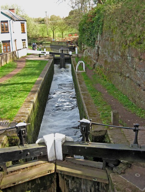
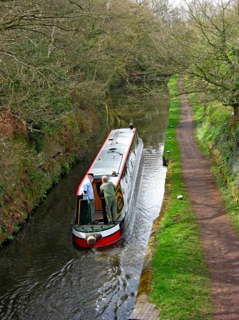
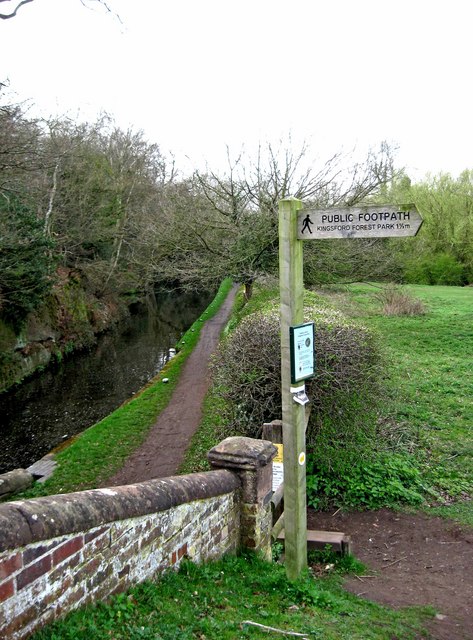
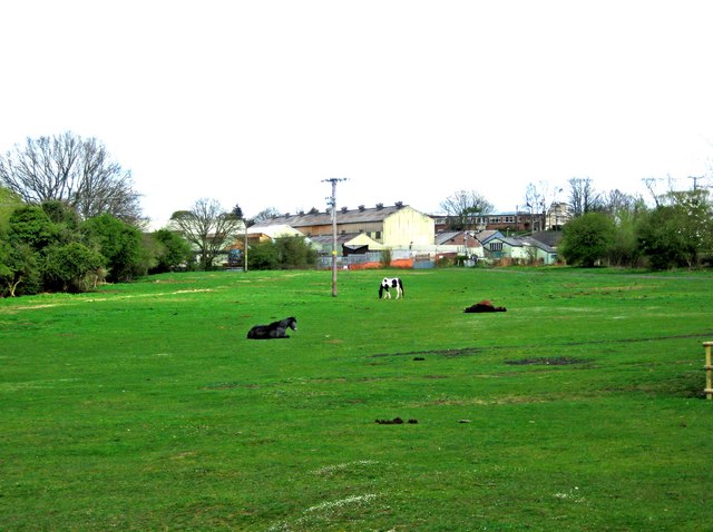
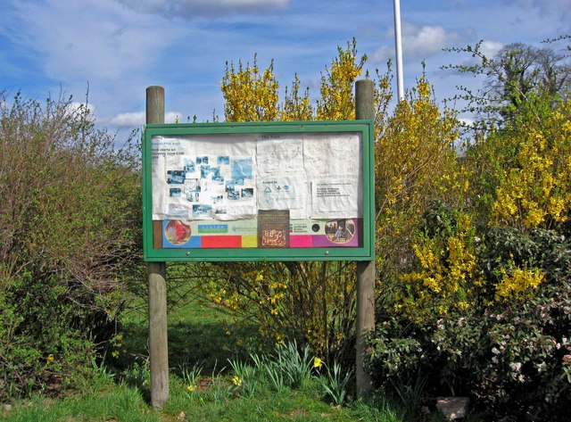
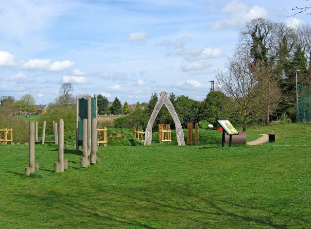
Clouts Covert Images

Images are sourced within 2km of 52.431926/-2.2176356 or Grid Reference SO8581. Thanks to Geograph Open Source API. All images are credited.

Cookley Village Hall & Sports Club (1), Lea Lane, Cookley This £945,000 project was officially opened on the 5th February 2011. Over 300 people attended the opening. The facility replaced the old Parish Hall. The building comprises a sports club lounge, two meeting rooms with computers and internet, a kitchen, a snooker room and a 200 metre square hall, with a stage for performances.

<a href="https://www.geograph.org.uk/photo/2337173">SO8480 : Cookley Village Hall & Sports Club (2), Lea Lane, Cookley</a>.
Cookley Village Hall & Sports Club (1), Lea Lane, Cookley
This £945,000 project was officially opened on the 5th February 2011. Over 300 people attended the opening. The facility replaced the old Parish Hall. The building comprises a sports club lounge, two meeting rooms with computers and internet, a kitchen, a snooker room and a 200 metre square hall, with a stage for performances. SO8480 : Cookley Village Hall & Sports Club (2), Lea Lane, Cookley.
Cookley Village Hall & Sports Club (2), Lea Lane, Cookley Outside the new village hall are various sports facilities, a play area for children, and an area for BMX bikes etc and skateboarding, called the Wheels Area.

<a href="https://www.geograph.org.uk/photo/2337154">SO8480 : Cookley Village Hall & Sports Club (1), Lea Lane, Cookley</a>.
Cookley Village Hall & Sports Club (2), Lea Lane, Cookley
Outside the new village hall are various sports facilities, a play area for children, and an area for BMX bikes etc and skateboarding, called the Wheels Area. SO8480 : Cookley Village Hall & Sports Club (1), Lea Lane, Cookley.
Lea Lane, Cookley At the approach to the village of Cookley. On the left is the new Village Hall.

<a href="https://www.geograph.org.uk/photo/2337154">SO8480 : Cookley Village Hall & Sports Club (1), Lea Lane, Cookley</a>.
Lea Lane, Cookley
At the approach to the village of Cookley. On the left is the new Village Hall. SO8480 : Cookley Village Hall & Sports Club (1), Lea Lane, Cookley.
The Old Grammar School The school from 1511 stands alongside the Holloway in Kinver and is now a private house.
The Old Grammar School
The school from 1511 stands alongside the Holloway in Kinver and is now a private house.
The Cross Inn The Kinver Pub stands on the corner of Church Hill and Dark Lane.
The Cross Inn
The Kinver Pub stands on the corner of Church Hill and Dark Lane.
Inside the Cross Inn The Kinver Pub on Church Hill.
Inside the Cross Inn
The Kinver Pub on Church Hill.
Grammar School Plaque The plaque on the front of the former school house in Dark Lane Kinver. See <a href="https://www.geograph.org.uk/photo/2338355">SO8483 : The Old Grammar School</a>
Grammar School Plaque
The plaque on the front of the former school house in Dark Lane Kinver. See SO8483 : The Old Grammar School
Former Lock Keeper's Cottage, Debdale Lock, Staffs & Worcs Canal near Cookley In the long ago days of freight being carried on the canal, there would have been a resident lock keeper living here.

A different view:- <a href="https://www.geograph.org.uk/photo/3217505">SO8480 : Former Lock Keeper's Cottage, Debdale Lock, near Cookley</a>.
Former Lock Keeper's Cottage, Debdale Lock, Staffs & Worcs Canal near Cookley
In the long ago days of freight being carried on the canal, there would have been a resident lock keeper living here. A different view:- SO8480 : Former Lock Keeper's Cottage, Debdale Lock, near Cookley.
Debdale Lock, Staffs & Worcs Canal, near Cookley A footpath continues from the bridge up to Cookley Playing Fields. In the other direction it goes to Kingsford Forest Park.
Debdale Lock, Staffs & Worcs Canal, near Cookley
A footpath continues from the bridge up to Cookley Playing Fields. In the other direction it goes to Kingsford Forest Park.
Boat in Debdale Lock, Staffs & Worcs Canal, near Cookley There is a cavern beside this lock, which apparently used to be used as a stables for horses pulling boats along the canal. There is room for about four horses to lie down.
Boat in Debdale Lock, Staffs & Worcs Canal, near Cookley
There is a cavern beside this lock, which apparently used to be used as a stables for horses pulling boats along the canal. There is room for about four horses to lie down.
Plaque at Debdale Bridge (No. 22), Staffs & Worcs Canal, near Cookley The small bridge at Debdale Lock is, not surprisingly, called Debdale Bridge, and numbered 22. Usually these plaques are affixed to the bridge, but this one is attached to the lock wall under the bridge. The style of the plaque would seem to indicate it is probably a replacement, rather than an original.

<a href="https://www.geograph.org.uk/photo/2340638">SO8480 : Debdale Lock, Staffs & Worcs Canal, near Cookley</a>.
Plaque at Debdale Bridge (No. 22), Staffs & Worcs Canal, near Cookley
The small bridge at Debdale Lock is, not surprisingly, called Debdale Bridge, and numbered 22. Usually these plaques are affixed to the bridge, but this one is attached to the lock wall under the bridge. The style of the plaque would seem to indicate it is probably a replacement, rather than an original. SO8480 : Debdale Lock, Staffs & Worcs Canal, near Cookley.
Debdale Lock, Staffs & Worcs Canal, near Cookley A narrowboat can be seen approaching the lock. The former lock keeper's cottage is on the left.

<a href="https://www.geograph.org.uk/photo/2340591">SO8480 : Former Lock Keeper's Cottage, Debdale Lock, Staffs & Worcs Canal near Cookley</a>.
Debdale Lock, Staffs & Worcs Canal, near Cookley
A narrowboat can be seen approaching the lock. The former lock keeper's cottage is on the left. SO8480 : Former Lock Keeper's Cottage, Debdale Lock, Staffs & Worcs Canal near Cookley.
Debdale Lock, Staffs & Worcs Canal, near Cookley Another view of the lock:- <a href="https://www.geograph.org.uk/photo/2340721">SO8480 : Debdale Lock, Staffs & Worcs Canal, near Cookley</a>, and <a href="https://www.geograph.org.uk/photo/2340638">SO8480 : Debdale Lock, Staffs & Worcs Canal, near Cookley</a>.
Debdale Lock, Staffs & Worcs Canal, near Cookley
Narrowboat west of Debdale Lock, Staffs & Worcs Canal, near Cookley The narrowboat has just left Debdale Lock. The canal is particularly narrow at this point, and it wouldn't be much fun meeting another boat around here. Photographed from Debdale Bridge.

<a href="https://www.geograph.org.uk/photo/2340658">SO8480 : Boat in Debdale Lock, Staffs & Worcs Canal, near Cookley</a>.
Narrowboat west of Debdale Lock, Staffs & Worcs Canal, near Cookley
The narrowboat has just left Debdale Lock. The canal is particularly narrow at this point, and it wouldn't be much fun meeting another boat around here. Photographed from Debdale Bridge. SO8480 : Boat in Debdale Lock, Staffs & Worcs Canal, near Cookley.
Signpost by Debdale Bridge, Staffs & Worcs Canal, near Cookley The signpost points across a field, where there is a public footpath to Kingsford Forest Park, about a mile and a half away. Behind the signpost can be seen the canal and towpath.

<a href="https://www.geograph.org.uk/photo/2340826">SO8480 : Footpath across a field, near Cookley</a>.
Signpost by Debdale Bridge, Staffs & Worcs Canal, near Cookley
The signpost points across a field, where there is a public footpath to Kingsford Forest Park, about a mile and a half away. Behind the signpost can be seen the canal and towpath. SO8480 : Footpath across a field, near Cookley.
Footpath across a field, near Cookley There is a public footpath across this field, although it isn't immediately obvious quite where the footpath is. It leads to the popular Kingsford Forest Park, which is a nice place for walking, riding and other outdoor pursuits. In the distance can be seen some industrial buildings, which are on the edge of the village of Cookley.

<a href="https://www.geograph.org.uk/photo/2340802">SO8480 : Signpost by Debdale Bridge, Staffs & Worcs Canal, near Cookley</a>.
Footpath across a field, near Cookley
There is a public footpath across this field, although it isn't immediately obvious quite where the footpath is. It leads to the popular Kingsford Forest Park, which is a nice place for walking, riding and other outdoor pursuits. In the distance can be seen some industrial buildings, which are on the edge of the village of Cookley. SO8480 : Signpost by Debdale Bridge, Staffs & Worcs Canal, near Cookley.
Notice board, Cookley Playing Fields, Cookley Much of what is still on the board concerns the construction of a "natural play area", work on which was due to start on the 11th June 2009. It is now complete.

<a href="https://www.geograph.org.uk/photo/2341532">SO8480 : Natural Play Area, Cookley Playing Fields, Cookley</a>.
Notice board, Cookley Playing Fields, Cookley
Much of what is still on the board concerns the construction of a "natural play area", work on which was due to start on the 11th June 2009. It is now complete. SO8480 : Natural Play Area, Cookley Playing Fields, Cookley.
Natural Play Area, Cookley Playing Fields, Cookley This is part of the Natural Play Area, on which work started in June 2009.

<a href="https://www.geograph.org.uk/photo/2341513">SO8480 : Notice board, Cookley Playing Fields, Cookley</a>.
Natural Play Area, Cookley Playing Fields, Cookley
This is part of the Natural Play Area, on which work started in June 2009. SO8480 : Notice board, Cookley Playing Fields, Cookley.
Show me another place!

Clouts Covert is located at Grid Ref: SO8581 (Lat: 52.431926, Lng: -2.2176356)

Administrative County: Worcestershire

District: Wyre Forest

Police Authority: West Mercia

What 3 Words

///playback.gather.airtime. Near Kinvere, Staffordshire

Nearby Locations

Far Coppice Clouts Covert

Related Wikis

Caunsall

Caunsall is a hamlet in Worcestershire, England a few miles to the north of Kidderminster and close to the villages of Kinver, Cookley and Wolverley. It...

Kinver

Kinver is a large village in the District of South Staffordshire in Staffordshire, England. It is in the far south-west of the county, at the end of the...

Cookley

Cookley is a village in the Wyre Forest District of Worcestershire, England, a few miles to the north of Kidderminster. Also, a few miles south-west of...

Blakeshall

Blakeshall is a hamlet in Worcestershire, England. It is one of the ancient townships of the manor of Wolverley, whose extent was similar to that of the...

Axborough

Axborough is a low wooded hill east of Cookley in north Worcestershire, England. == History == Its Saxon name meant hassock grass barrow. This does not...

Dunsley, Staffordshire

Dunsley is a hamlet in Kinver, Staffordshire, England. The settled part of the hamlet is the part of the village of Kinver, lying east of the River Stour...

Kingsford Country Park

Kingsford Country Park, officially Kingsford Forest Park, was in Worcestershire, England, U.K. and managed by Worcestershire County Council. It adjoined...

Kinver Edge Hillfort

Kinver Edge Hillfort, is a univallate Iron Age hillfort with a massive rampart and outer ditch along the south-west and south-east sides, with natural...

Nearby Amenities

Located within 500m of 52.431926,-2.2176356
Heath Barn
Place: locality
Source: OS_OpenData_StreetView
Lat/Long: 52.4328846/-2.2106202
Power: pole
Lat/Long: 52.4350605/-2.2216335
Power: pole
Lat/Long: 52.4358781/-2.2202629
The data included in this document is from www.openstreetmap.org. The data is made available under ODbL.

Have you been to Clouts Covert?

Leave your review of Clouts Covert below (or comments, questions and feedback).