Newpark Shaw
Wood, Forest in Westmorland Eden
England
Newpark Shaw
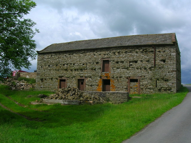
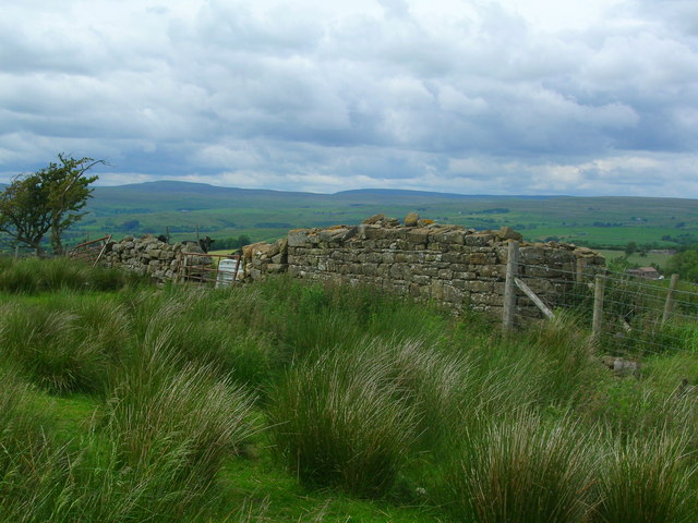
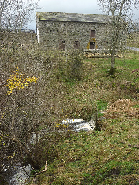
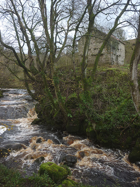
Newpark Shaw, located in the Westmorland region, is a picturesque woodland area known for its natural beauty and tranquil atmosphere. Nestled within the larger Westmorland Forest, Newpark Shaw is a haven for nature enthusiasts and those seeking a peaceful retreat from the bustle of city life.
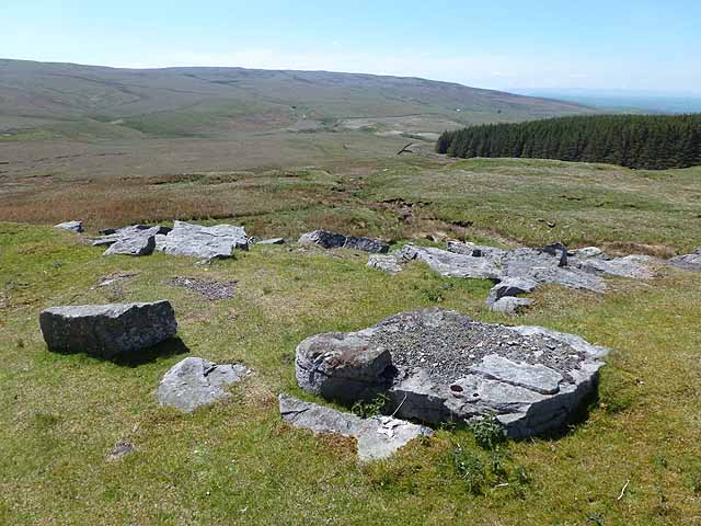
The woodland is characterized by its dense and diverse vegetation, consisting of towering oak, beech, and pine trees that create a lush green canopy overhead. The forest floor is adorned with a rich carpet of moss, ferns, and wildflowers, adding to the area's charm and natural allure.
Newpark Shaw is home to a wide variety of wildlife, including deer, foxes, and a myriad of bird species. Nature lovers will find themselves captivated by the sights and sounds of the forest, with opportunities for bird-watching and wildlife photography abound.
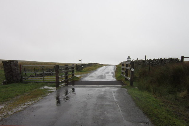
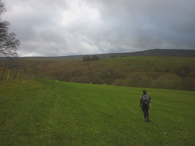
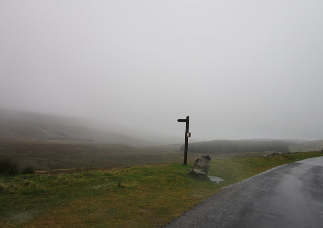
Visitors to Newpark Shaw can explore the area through a network of well-maintained walking trails, allowing them to immerse themselves in the serenity of the woodland. These trails cater to all levels of fitness and offer breathtaking views of the surrounding countryside.
The forest also provides a range of recreational activities such as camping, picnicking, and nature walks, attracting families and outdoor enthusiasts alike. Additionally, the area is often used for educational purposes, with schools and organizations organizing field trips and nature workshops to promote environmental awareness and conservation.
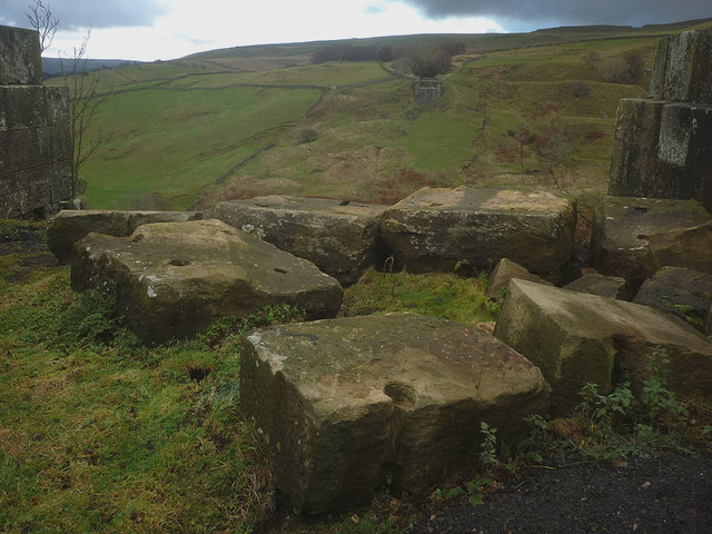
Overall, Newpark Shaw is a hidden gem within the Westmorland region, offering a tranquil escape into nature for those seeking solace and a chance to connect with the natural world.
If you have any feedback on the listing, please let us know in the comments section below.
Newpark Shaw Images
Images are sourced within 2km of 54.486764/-2.2285098 or Grid Reference NY8510. Thanks to Geograph Open Source API. All images are credited.


Newpark Shaw is located at Grid Ref: NY8510 (Lat: 54.486764, Lng: -2.2285098)
Administrative County: Cumbria
District: Eden
Police Authority: Cumbria
What 3 Words
///entitles.fully.single. Near Kirkby Stephen, Cumbria
Nearby Locations
Related Wikis

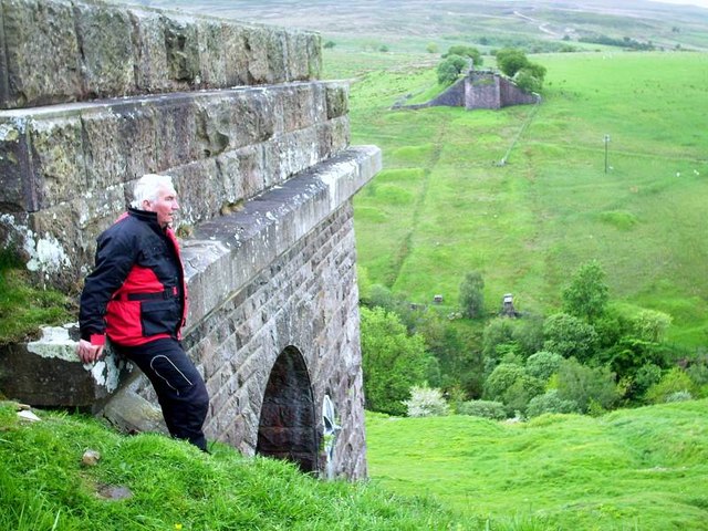
Belah Viaduct
The Belah Viaduct was a railway viaduct on the South Durham and Lancashire Union Railway, crossing the River Belah, in Cumbria, England, about 1 mile...

Barras railway station
Barras railway station was situated on the South Durham & Lancashire Union Railway between Barnard Castle and Kirkby Stephen East. == History == The station...

Barras, Cumbria
Barras is a hamlet close to the River Belah, about 4 miles (6 kilometres) south-east of Brough, Cumbria, England. Until the creation of the new county...

Snowdrift at Bleath Gill
Snowdrift at Bleath Gill is a 1955 British Transport Film documentary directed by Kenneth Fairbairn. The 10-minute-long film presents a first-hand account...

Stainmore Summit
Stainmore Summit is the highest point on the trans-Pennine South Durham & Lancashire Union Railway, also known as the Stainmore Railway in Northern England...
Battle of Stainmore
The Battle of Stainmore was probably fought between the Earldom of Bernicia, led by Oswulf, and the forces of the last Norse king of Jórvík (York), Eric...
Nine Standards Rigg
Nine Standards Rigg is the summit of Hartley Fell in the Pennine Hills of England. It lies near the boundary between Cumbria and North Yorkshire, a few...

Stainmore
Stainmore is a remote geographic area in the Pennines on the border of Cumbria, County Durham and North Yorkshire. The name is used for a civil parish...
Have you been to Newpark Shaw?
Leave your review of Newpark Shaw below (or comments, questions and feedback).