Bagraw Plantation
Wood, Forest in Northumberland
England
Bagraw Plantation

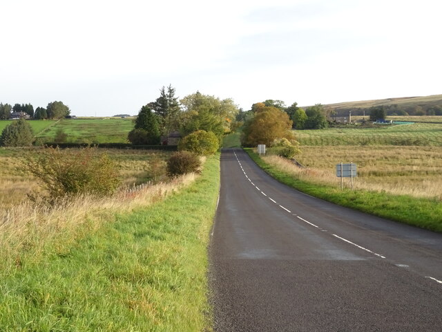
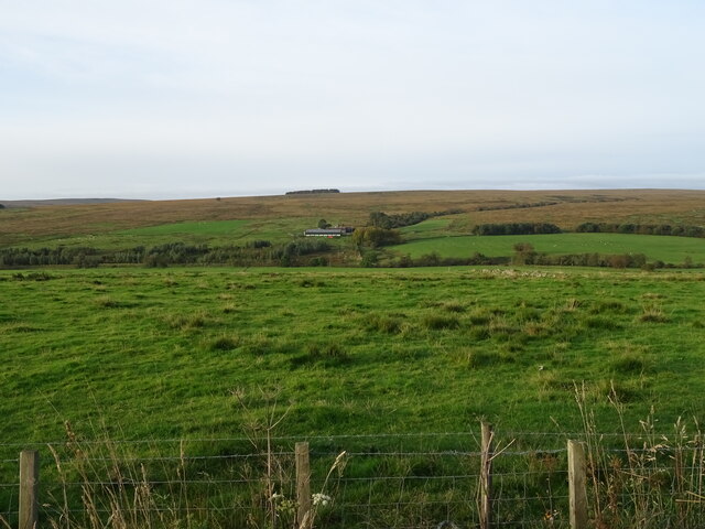
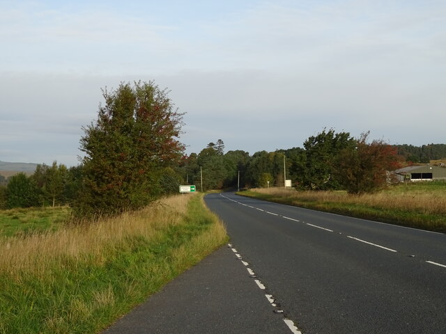
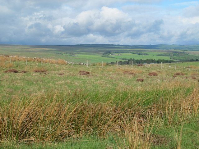
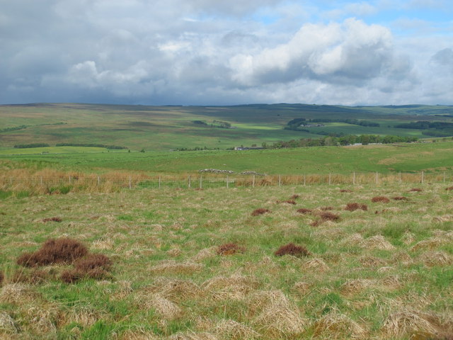
Bagraw Plantation is a charming woodland area located in the county of Northumberland, England. Situated in the heart of the county, the plantation covers a vast expanse of land, offering visitors a peaceful and picturesque escape into nature.
The plantation is predominantly made up of a dense forest, with towering trees providing a canopy of shade and seclusion. The Wood, as it is commonly referred to, is home to a diverse range of flora and fauna, making it a haven for nature enthusiasts and wildlife lovers alike. Visitors can expect to encounter a variety of bird species, small mammals, and even the occasional deer while exploring the plantation.
Tranquil walking trails wind their way through the woodland, allowing visitors to explore the plantation at their own pace. These paths lead to hidden clearings and viewpoints, providing breathtaking vistas of the surrounding countryside. Hikers can also venture further afield, as the plantation is conveniently located near several other nature reserves and scenic spots, such as the nearby Cheviot Hills.
Bagraw Plantation is well-maintained, with regular upkeep and conservation efforts ensuring the preservation of its natural beauty for future generations. Visitors are encouraged to respect the environment and adhere to any guidelines or restrictions put in place to protect the woodland.
Overall, Bagraw Plantation offers a peaceful retreat into the tranquility of nature, providing visitors with the opportunity to immerse themselves in the beauty of Northumberland's woodlands. Whether it's a leisurely stroll, birdwatching, or simply enjoying the serenity of the forest, Bagraw Plantation has something to offer for everyone seeking solace in nature.
If you have any feedback on the listing, please let us know in the comments section below.
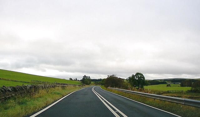
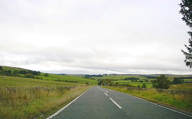
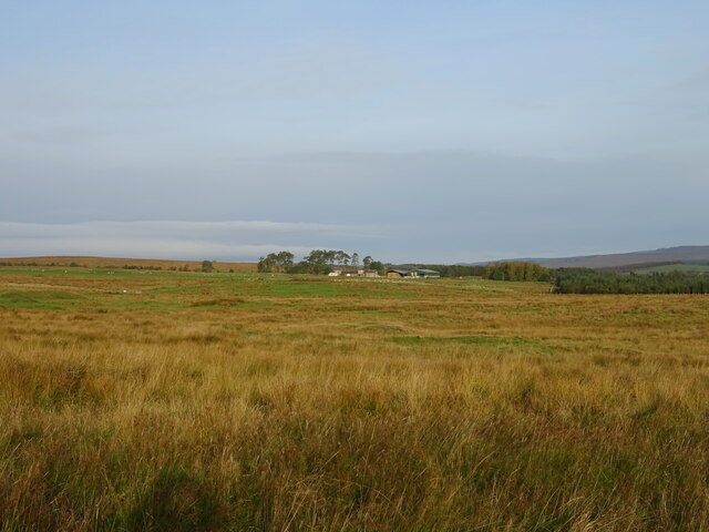
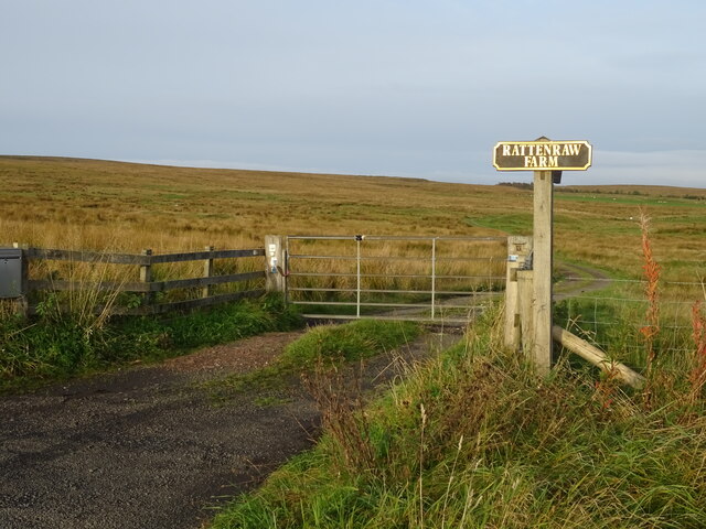
Bagraw Plantation Images
Images are sourced within 2km of 55.259474/-2.233746 or Grid Reference NY8596. Thanks to Geograph Open Source API. All images are credited.


Bagraw Plantation is located at Grid Ref: NY8596 (Lat: 55.259474, Lng: -2.233746)
Unitary Authority: Northumberland
Police Authority: Northumbria
What 3 Words
///deal.threading.romance. Near Rochester, Northumberland
Nearby Locations
Related Wikis

Rochester, Northumberland
Rochester is a small village and civil parish in north Northumberland, England. It is 5 miles (8 km) north-west of Otterburn on the A68 road between Corbridge...

Bremenium
Bremenium is an ancient Roman fort (castrum) located at Rochester, Northumberland, England. The fort is one of the defensive structures built along Dere...
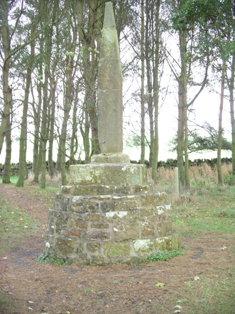
Percy Cross
The Percy Cross (also Battle Stone) is located just off the A696, 1 kilometre (0.62 mi) from Otterburn, Northumberland, England. It was erected before...
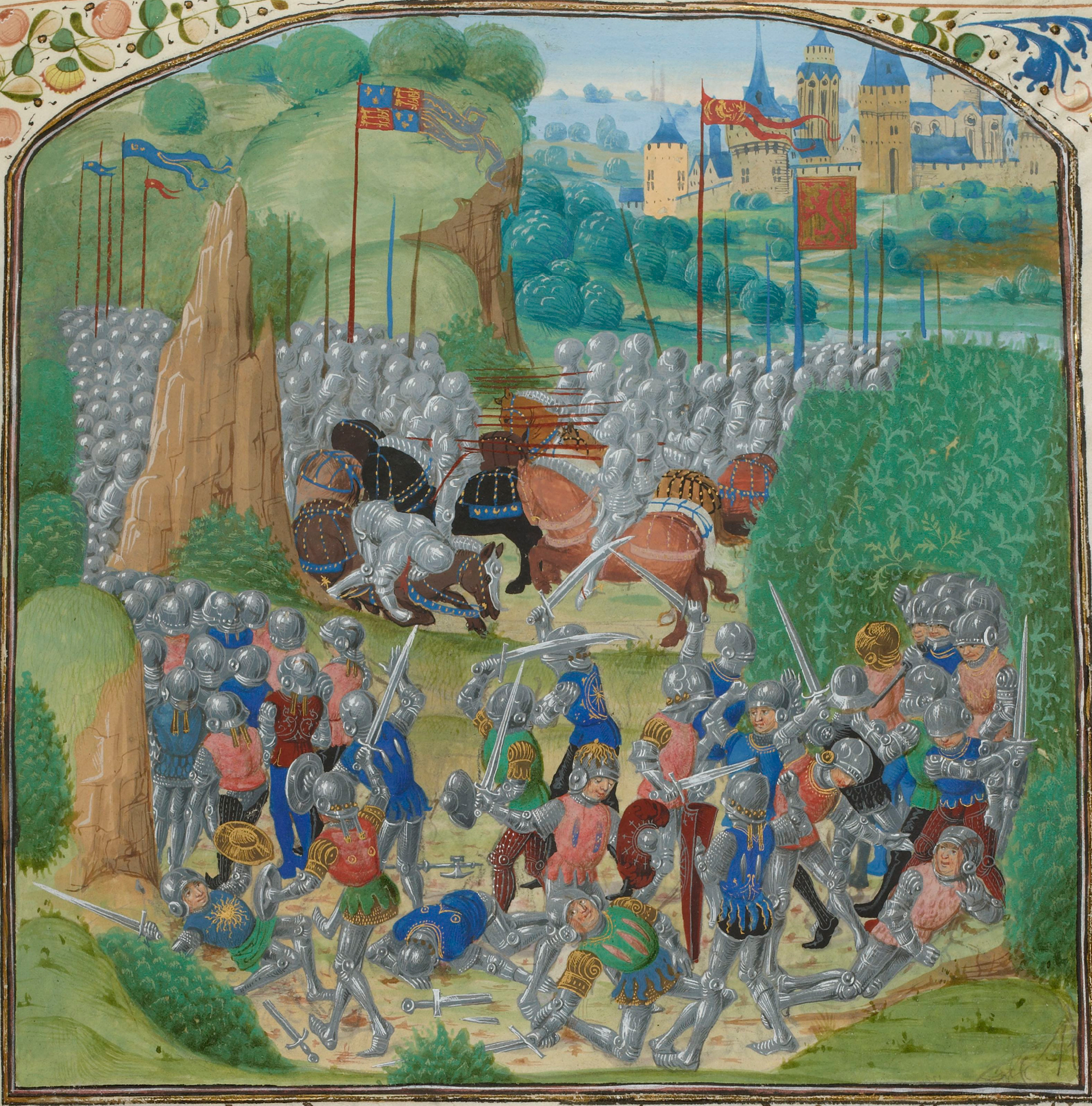
Battle of Otterburn
The Battle of Otterburn took place according to Scottish sources on 5 August 1388, or 19 August according to English sources, as part of the continuing...

Otterburn Hall
Otterburn Hall is an English country house and estate in Otterburn, Northumberland. It is situated in 500 acres (200 ha) of deer park and woodland in...

Otterburn, Northumberland
Otterburn is a small village in Northumberland, England, 31 miles (50 km) northwest of Newcastle upon Tyne on the banks of the River Rede, near the confluence...
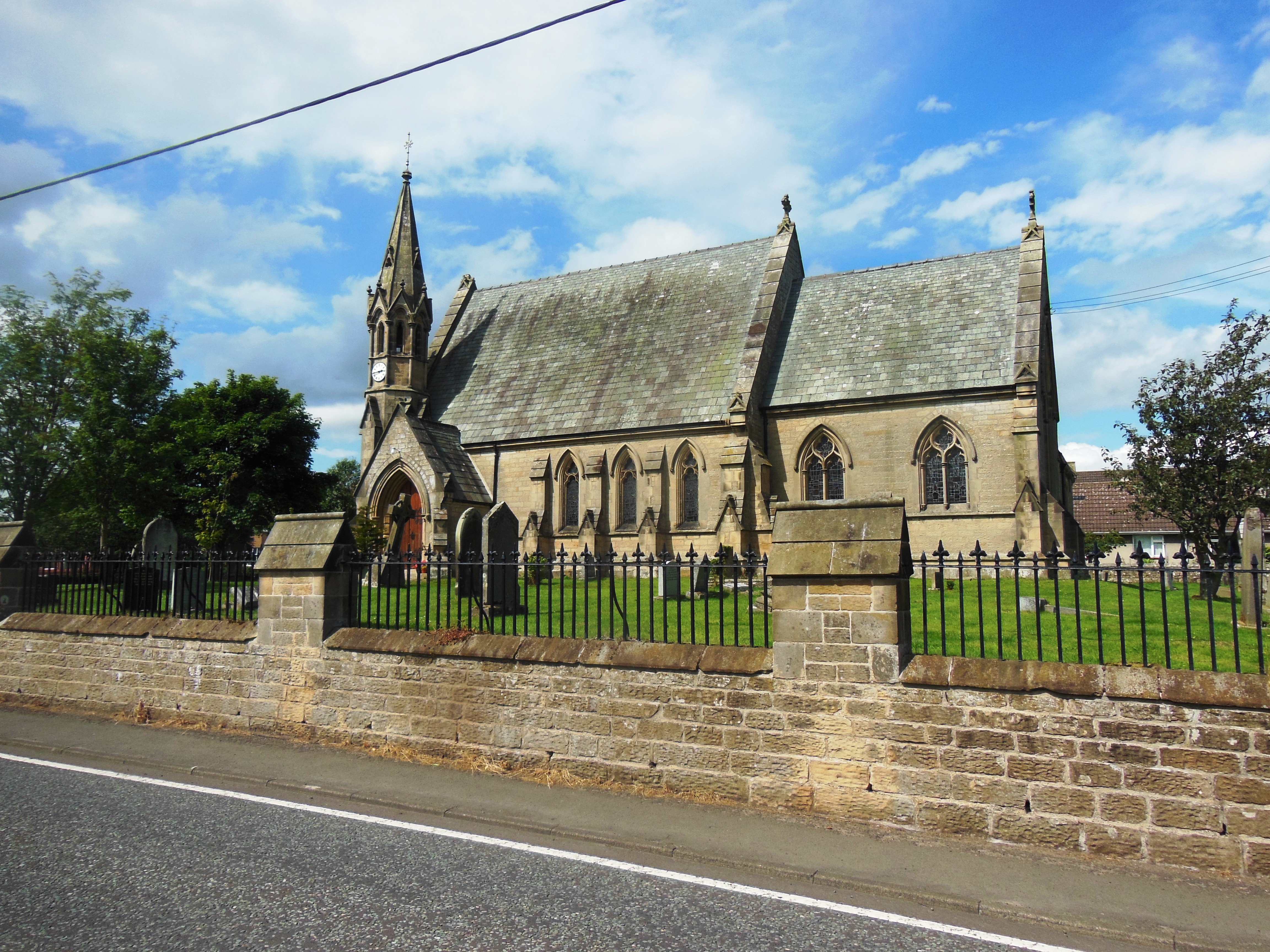
St John the Evangelist's Church, Otterburn
St John the Evangelist's Church is a church in Otterburn, Northumberland, northeast England, located off the A696 road. == History == The foundation stone...

Redesdale
Redesdale is a valley in western Northumberland, England. It is formed by the River Rede, which rises in the Cheviots and flows down to join the North...
Nearby Amenities
Located within 500m of 55.259474,-2.233746Have you been to Bagraw Plantation?
Leave your review of Bagraw Plantation below (or comments, questions and feedback).