Hanging Covert

Wood, Forest in Staffordshire South Staffordshire

England

Hanging Covert

Enville windmill The tower mill on the edge of Enville Common built in 1800-1801 remained in use until 1870. The mill had four sails, boat cap and fantail. Little remains inside the shell except for sections of the turning ring for the boat cap. 

See <span class="nowrap"><a title="http://www.search.staffspasttrack.org.uk/engine/resource/default.asp?resource=11298" rel="nofollow ugc noopener" href="http://www.search.staffspasttrack.org.uk/engine/resource/default.asp?resource=11298">Link</a><img style="margin-left:2px;" alt="External link" title="External link - shift click to open in new window" src="https://s1.geograph.org.uk/img/external.png" width="10" height="10"/></span>
Enville windmill Credit: John M

Hanging Covert is a picturesque woodland located in Staffordshire, England. Situated on the outskirts of the village of Stafford, this forested area covers a vast expanse of approximately 100 acres. The name "Hanging Covert" refers to the wooded area being situated on a steep slope, giving it a unique charm and character.

The woodland is predominantly made up of a variety of deciduous trees, including oak, beech, and birch, which provide a lush and verdant canopy throughout the year. The forest floor is covered with a carpet of wildflowers and ferns, creating a vibrant and diverse ecosystem. This natural habitat supports a wide array of wildlife, including squirrels, deer, and numerous bird species.

Hanging Covert is a popular destination for nature enthusiasts and outdoor enthusiasts alike. The woodland boasts several well-marked hiking trails, allowing visitors to explore its beauty at their own pace. These trails wind through the forest, offering breathtaking views of the surrounding countryside and providing an opportunity to observe the local flora and fauna up close.

In addition to its natural beauty, Hanging Covert also has a rich historical significance. The woodland was once used as a hunting ground for the local nobility, and remnants of ancient hunting lodges can still be found within its boundaries. This historical aspect adds an intriguing layer to the overall experience of visiting Hanging Covert.

Whether it's a leisurely stroll through the woods or an immersive exploration of its natural and historical wonders, Hanging Covert offers a truly enchanting experience for all who visit.

If you have any feedback on the listing, please let us know in the comments section below.

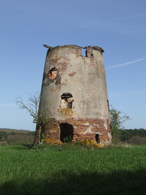
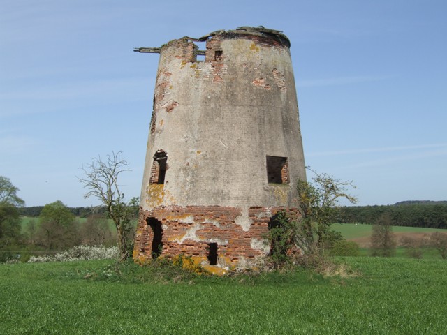
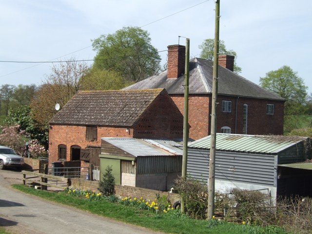
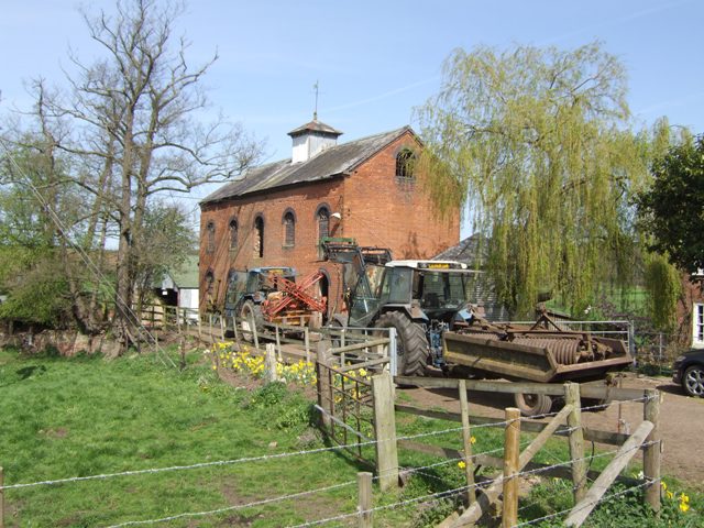
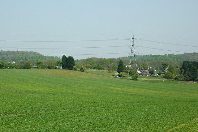
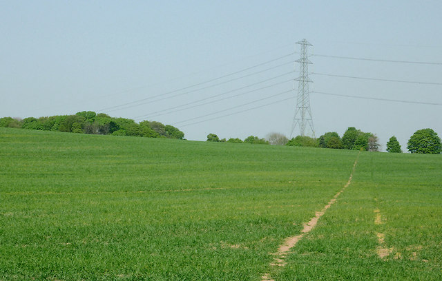
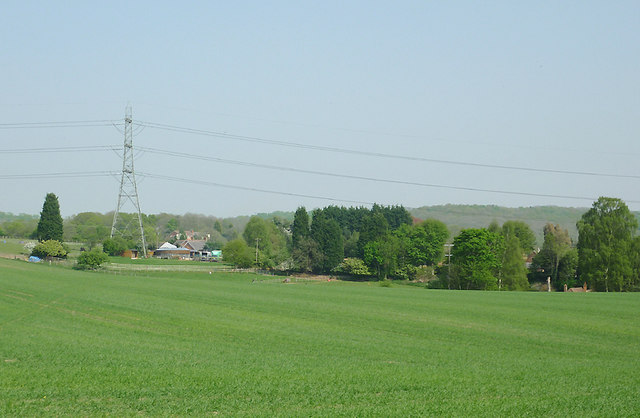
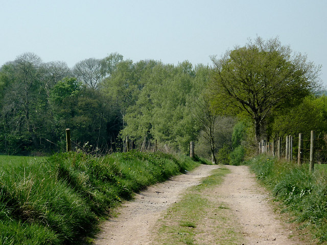
Hanging Covert Images

Images are sourced within 2km of 52.481389/-2.2224445 or Grid Reference SO8487. Thanks to Geograph Open Source API. All images are credited.

Enville windmill The tower mill on the edge of Enville Common built in 1800-1801 remained in use until 1870. The mill had four sails, boat cap and fantail. Little remains inside the shell except for sections of the turning ring for the boat cap. 

See <span class="nowrap"><a title="http://www.search.staffspasttrack.org.uk/engine/resource/default.asp?resource=11298" rel="nofollow ugc noopener" href="http://www.search.staffspasttrack.org.uk/engine/resource/default.asp?resource=11298">Link</a><img style="margin-left:2px;" alt="External link" title="External link - shift click to open in new window" src="https://s1.geograph.org.uk/img/external.png" width="10" height="10"/></span>
Enville windmill
The tower mill on the edge of Enville Common built in 1800-1801 remained in use until 1870. The mill had four sails, boat cap and fantail. Little remains inside the shell except for sections of the turning ring for the boat cap. See LinkExternal link
Enville windmill The tower mill on the edge of Enville Common built in 1800-1801 remained in use until 1870. The mill had four sails, boat cap and fantail. Little remains inside the shell except for sections of the turning ring for the boat cap. 

<span class="nowrap"><a title="http://www.search.staffspasttrack.org.uk/engine/resource/default.asp?resource=11298" rel="nofollow ugc noopener" href="http://www.search.staffspasttrack.org.uk/engine/resource/default.asp?resource=11298">Link</a><img style="margin-left:2px;" alt="External link" title="External link - shift click to open in new window" src="https://s1.geograph.org.uk/img/external.png" width="10" height="10"/></span>
Enville windmill
The tower mill on the edge of Enville Common built in 1800-1801 remained in use until 1870. The mill had four sails, boat cap and fantail. Little remains inside the shell except for sections of the turning ring for the boat cap. LinkExternal link
Mill farm Estate farm in Mill Lane.
Mill farm
Estate farm in Mill Lane.
Spittlebrook Mill Estate property on the Enville Estate.
Spittlebrook Mill
Estate property on the Enville Estate.
Cave at Prestwood near Stourton, Staffordshire This cave in the Triassic sandstone is on land belonging to Prestwood Cave Nursery. The nursery grows a limited range of hardy shrubs and other plants. Quality is high, and the prices are very reasonable. The hard winter of 2010-2011 killed many plants in nurseries all over the West Midlands, but enough remains here to continue trading.
Cave at Prestwood near Stourton, Staffordshire
This cave in the Triassic sandstone is on land belonging to Prestwood Cave Nursery. The nursery grows a limited range of hardy shrubs and other plants. Quality is high, and the prices are very reasonable. The hard winter of 2010-2011 killed many plants in nurseries all over the West Midlands, but enough remains here to continue trading.
Prestwood Cave Nursery near Stourton, Staffordshire The nursery grows a limited range of hardy shrubs and other plants. Quality is high, and the prices are very reasonable. The hard winter of 2010-2011 killed many plants in nurseries all over the West Midlands, but enough remains here to continue trading.
Prestwood Cave Nursery near Stourton, Staffordshire
The nursery grows a limited range of hardy shrubs and other plants. Quality is high, and the prices are very reasonable. The hard winter of 2010-2011 killed many plants in nurseries all over the West Midlands, but enough remains here to continue trading.
Bridleway near Stourton, Staffordshire The bridleway links Wolverhampton Road (A449) at Prestwood with Greensforge Lane and Gothersley Farm.
Bridleway near Stourton, Staffordshire
The bridleway links Wolverhampton Road (A449) at Prestwood with Greensforge Lane and Gothersley Farm.
Bridleway near Stourton, Staffordshire The bridleway links Wolverhampton Road (A449) at Prestwood with Greensforge Lane and Gothersley Farm.
Bridleway near Stourton, Staffordshire
The bridleway links Wolverhampton Road (A449) at Prestwood with Greensforge Lane and Gothersley Farm.
Bridleway near Stourton, Staffordshire The bridleway links Wolverhampton Road (A449) at Prestwood with Greensforge Lane and Gothersley Farm.
Bridleway near Stourton, Staffordshire
The bridleway links Wolverhampton Road (A449) at Prestwood with Greensforge Lane and Gothersley Farm.
Staffordshire and Worcestershire Canal near Prestwood, Staffordshire Seen from the bridleway crossing Prestwood Bridge (No 34). The canal was opened in 1772, engineered by James Brindley. It joins the River Severn at Stourport to the Trent and Mersey Canal at Great Haywood Junction in Staffordshire. There are 43 locks (45 if you don't fancy the deep wide locks at Stourport) and the canal is 46 miles in length.
Staffordshire and Worcestershire Canal near Prestwood, Staffordshire
Seen from the bridleway crossing Prestwood Bridge (No 34). The canal was opened in 1772, engineered by James Brindley. It joins the River Severn at Stourport to the Trent and Mersey Canal at Great Haywood Junction in Staffordshire. There are 43 locks (45 if you don't fancy the deep wide locks at Stourport) and the canal is 46 miles in length.
Public footpath and stile near Prestwood, Staffordshire The path across this crop field seems little used. The bridleway from the Coach House which is mapped as being behind the camera does not exist at all now.
Public footpath and stile near Prestwood, Staffordshire
The path across this crop field seems little used. The bridleway from the Coach House which is mapped as being behind the camera does not exist at all now.
Farmland near Prestwood, Staffordshire Seen from the bridleway near Prestwood Cave Nursery.
Farmland near Prestwood, Staffordshire
Seen from the bridleway near Prestwood Cave Nursery.
Farmland near Prestwood, Staffordshire Looking across the fields from the bridleway between Prestwood and Greensforge Lane.
Farmland near Prestwood, Staffordshire
Looking across the fields from the bridleway between Prestwood and Greensforge Lane.
Crop field near Prestwood, Staffordshire What appear to be tractor wheel tracks actually follow almost exactly the course of a public footpath across the field to Foley Lane.
Crop field near Prestwood, Staffordshire
What appear to be tractor wheel tracks actually follow almost exactly the course of a public footpath across the field to Foley Lane.
Arable Land near Prestwood, Staffordshire Looking across the fields from the bridleway between Prestwood and Greensforge Lane. The tall dark green conifers in the centre of the image are by the A449 near Yew Tree Farm.
Arable Land near Prestwood, Staffordshire
Looking across the fields from the bridleway between Prestwood and Greensforge Lane. The tall dark green conifers in the centre of the image are by the A449 near Yew Tree Farm.
Bridleway north of Stourton, Staffordshire The bridleway links Wolverhampton Road (A449) at Prestwood with Greensforge Lane and Gothersley Farm. The woodland ahead is on the slope down to the Smestow River. To the right of the bridleway there is Gothersley Rough, and to the left, Colbourn's Rough.
Bridleway north of Stourton, Staffordshire
The bridleway links Wolverhampton Road (A449) at Prestwood with Greensforge Lane and Gothersley Farm. The woodland ahead is on the slope down to the Smestow River. To the right of the bridleway there is Gothersley Rough, and to the left, Colbourn's Rough.
Bridleway north of Stourton, Staffordshire The bridleway links Gothersley Farm and Greensforge Lane with the Wolverhampton Road (A449) at Prestwood. On the skyline are Lousy Wood and Crabtree Rough.
Bridleway north of Stourton, Staffordshire
The bridleway links Gothersley Farm and Greensforge Lane with the Wolverhampton Road (A449) at Prestwood. On the skyline are Lousy Wood and Crabtree Rough.
Show me another place!

Hanging Covert is located at Grid Ref: SO8487 (Lat: 52.481389, Lng: -2.2224445)

Administrative County: Staffordshire

District: South Staffordshire

Police Authority: Staffordshire

What 3 Words

///probably.rider.impeached. Near Kinvere, Staffordshire

Nearby Locations

Hanging Covert The Million

Related Wikis

Ashwood, Staffordshire

Ashwood is a small area of Staffordshire, England. It is situated in the South Staffordshire district, approximately two miles west of the West Midlands...

Prestwood (Kinver)

Prestwood is a hamlet now in the parish of Kinver, but in the Kingswinford until the creation of Brierley Hill Urban District in the 1930s. == History... ==

Smestow Brook

The Smestow Brook, sometimes called the River Smestow, is a small river that plays an important part in the drainage of Wolverhampton, South Staffordshire...

Greensforge

Greensforge is a scattered hamlet on the boundary of Kinver and Swindon parishes, in South Staffordshire, England. It is noted for its Roman associations...

Stourton, Staffordshire

Stourton is a hamlet in Staffordshire, England a few miles to the northwest of Stourbridge. There is a fair amount of dispute over the pronunciation, being...

West Midlands (region)

The West Midlands is one of nine official regions of England at the first level of International Territorial Level for statistical purposes. It covers...

Enville, Staffordshire

Enville is a village and civil parish in rural Staffordshire, England, on the A458 road between Stourbridge and Bridgnorth. Enville is in the South Staffordshire...

Enville Hall

Enville Hall is an English Tudor country house in the village of Enville, Staffordshire. It is a Grade II listed building.The house has a 16th and 17th...

Related Videos

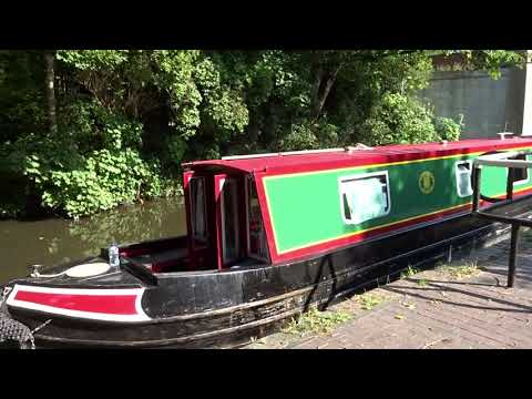
UK Summer Vacation ( Staycation ) on a Narrow Boat..Pt3. Frm 12 Sep til 19 Sep 2020

DayThree of are Narrow Boat Adventure on HMS Ginger. Starting From Merry Hill today passing through lovely areas and ...

Kinver to Stourton in Staffordshire, England - May 2023

Kinver to Stourton. A walk from the Staffordshire town of Kinver to the nearby village of Stourton. The walk takes us along the tow ...

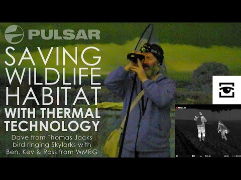
Pulsar saving wildlife habitat with thermal technology: Bird ringing with WMRG and the Merger XL50

Understanding and saving wildlife habitat in the UK is better, easier and a whole lot less time consuming when you've some ...

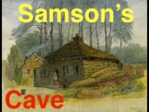
Lost Troglodyte Cave........’Samson’s Cave,’ Enville 2020🏴󠁧󠁢󠁥󠁮󠁧󠁿

Samson's Cave a 'rock house,' or 'cave house,' on the Enville estate near Stourbridge West Mildlands. Well worth your time taking ...

Nearby Amenities

Located within 500m of 52.481389,-2.2224445
Power: tower
Lat/Long: 52.4773349/-2.223229
Power: tower
Lat/Long: 52.4789402/-2.2209744
Power: tower
Lat/Long: 52.4803882/-2.2189499
Power: tower
Lat/Long: 52.4813572/-2.2174067
The data included in this document is from www.openstreetmap.org. The data is made available under ODbL.

Have you been to Hanging Covert?

Leave your review of Hanging Covert below (or comments, questions and feedback).