Blackfern Plantation

Wood, Forest in Dorset

England

Blackfern Plantation

Approaching Winterborne Stickland from Jubilee Trail
Approaching Winterborne Stickland from Jubilee Trail Credit: Becky Williamson

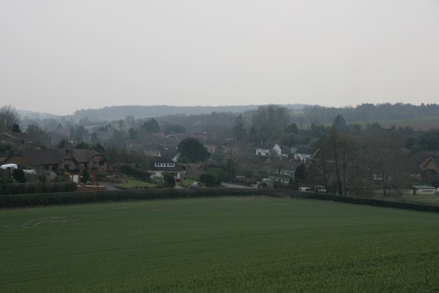
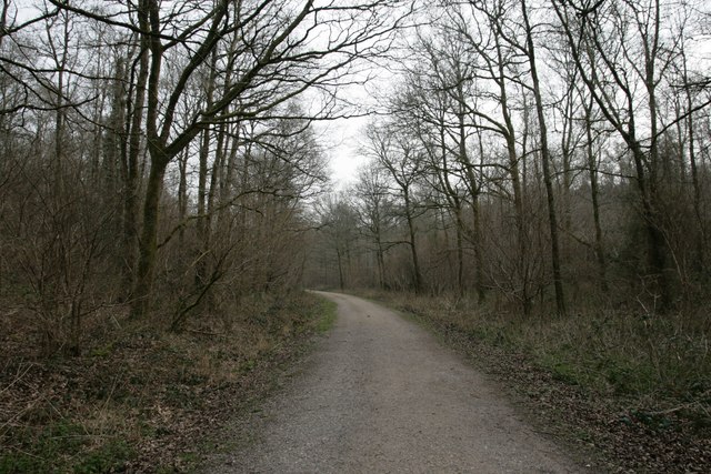
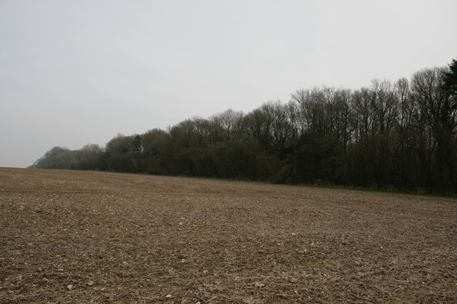
Blackfern Plantation is a picturesque woodland located in the county of Dorset, England. Spread across a vast area, the plantation is renowned for its dense black ferns that carpet the forest floor, giving it its distinctive name. The plantation is situated amidst the rolling countryside, adding to its natural beauty and charm.

The woodland is home to a diverse range of flora and fauna, making it a haven for nature enthusiasts and wildlife lovers. The towering trees, predominantly oaks and beeches, create a lush canopy that provides shade and shelter to a variety of bird species, including woodpeckers, owls, and warblers. The undergrowth is teeming with small mammals such as foxes, badgers, and squirrels.

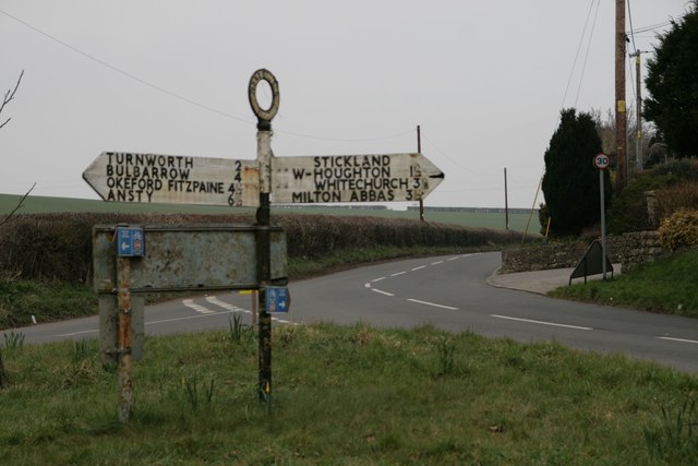
Blackfern Plantation offers several walking trails that wind through the forest, allowing visitors to immerse themselves in the tranquil surroundings. The paths are well-maintained and marked, making it easy for individuals of all ages and fitness levels to explore the woodland. Along the way, visitors can enjoy the sights and sounds of nature, with occasional glimpses of deer and other wildlife.

The plantation is also popular with photographers and artists, who are drawn to its natural beauty and the ever-changing colors of the foliage throughout the seasons. In autumn, the forest transforms into a breathtaking display of fiery reds, oranges, and yellows, creating a stunning backdrop for any creative endeavor.

Blackfern Plantation is a true gem in Dorset, offering a serene escape from the hustle and bustle of everyday life. Whether one seeks a leisurely stroll, birdwatching, or simply a place to unwind amidst nature's embrace, this woodland sanctuary has something to offer for everyone.

If you have any feedback on the listing, please let us know in the comments section below.

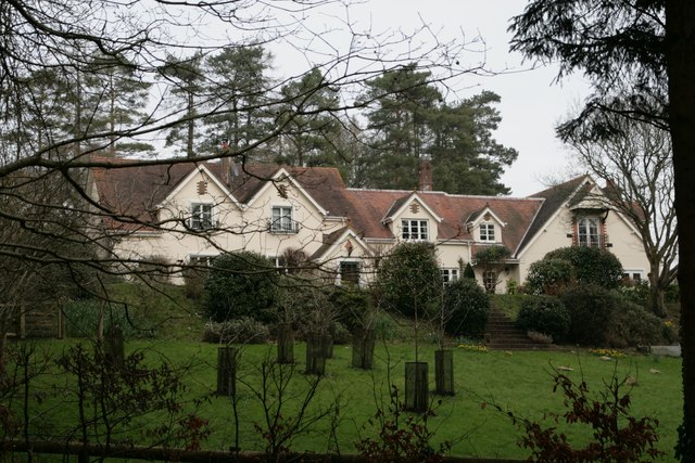
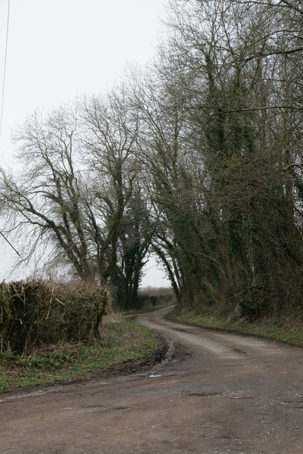
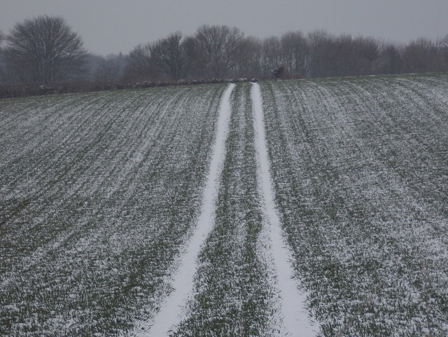
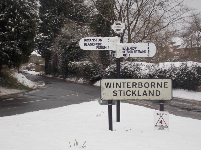
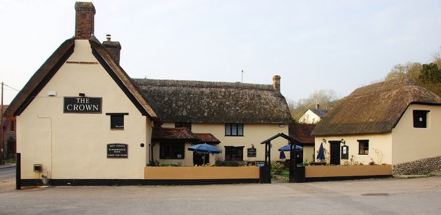
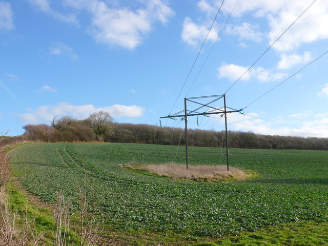
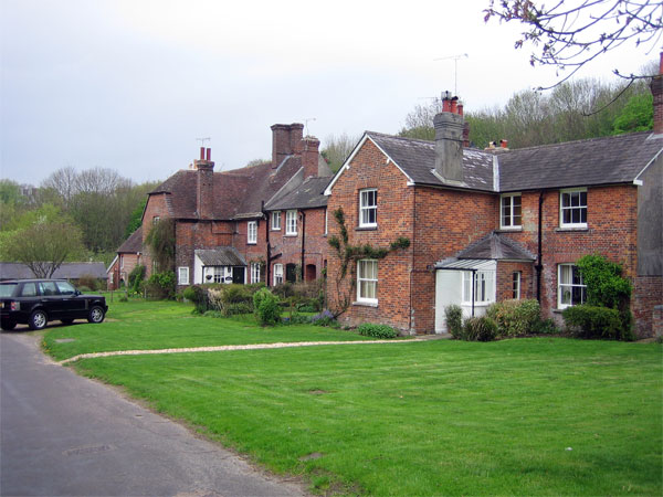
Blackfern Plantation Images

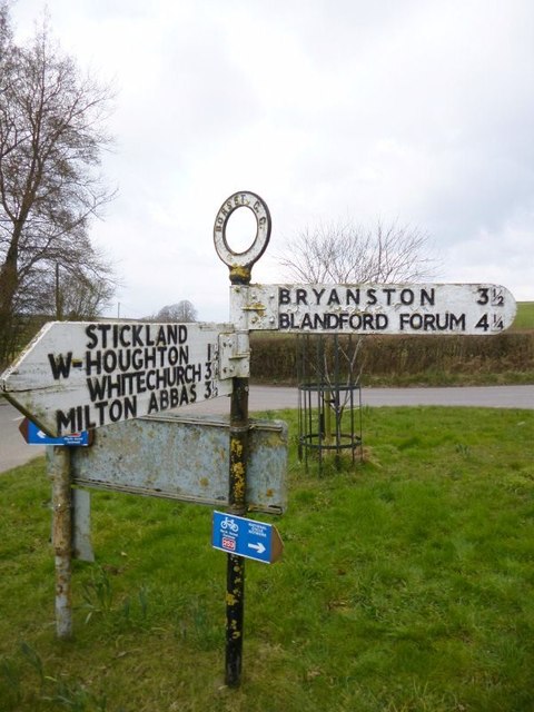
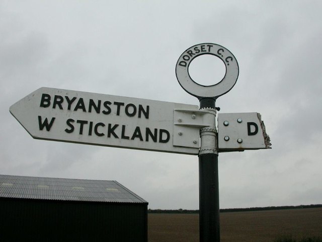
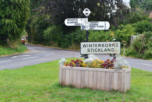
Images are sourced within 2km of 50.857935/-2.2218402 or Grid Reference ST8406. Thanks to Geograph Open Source API. All images are credited.

Approaching Winterborne Stickland from Jubilee Trail
Crossroads at Winterborne Stickland
Jubilee Trail through Field Grove
Free Down Border
Free Down Border
Field Grove House
Field Grove House
New Road near Winterborne Stickland
Turnworth: a snowy field Looking along snowy tractor tyre marks on a field alongside the road from Winterborne Stickland.
Turnworth: a snowy field
Looking along snowy tractor tyre marks on a field alongside the road from Winterborne Stickland.
Winterborne Stickland: Whiteway road junction Since March 2016 (<a href="https://www.geograph.org.uk/photo/4864820">ST8305 : Crossroads at Winterborne Stickland</a>) the signpost has been replaced, and been adorned with a traditional Dorset roundel giving location name and grid reference.

See <a href="https://www.geograph.org.uk/photo/5710879">ST8305 : Winterborne Stickland: detail of Whiteway finger-post</a> for a close-up of the roundel.
Winterborne Stickland: Whiteway road junction
Since March 2016 (ST8305 : Crossroads at Winterborne Stickland) the signpost has been replaced, and been adorned with a traditional Dorset roundel giving location name and grid reference. See ST8305 : Winterborne Stickland: detail of Whiteway finger-post for a close-up of the roundel.
Winterborne Stickland: detail of Whiteway finger-post A closer look at the traditional Dorset roundel on the signpost at this northern junction in the village. The six-digits at the bottom are the grid reference.

See <a href="https://www.geograph.org.uk/photo/5710876">ST8305 : Winterborne Stickland: Whiteway road junction</a> for the wider view.

Although it is a traditional design, this one is a modern replica - see <a href="https://www.geograph.org.uk/photo/4864820">ST8305 : Crossroads at Winterborne Stickland</a> taken in March 2016 for the original one.
Winterborne Stickland: detail of Whiteway finger-post
A closer look at the traditional Dorset roundel on the signpost at this northern junction in the village. The six-digits at the bottom are the grid reference. See ST8305 : Winterborne Stickland: Whiteway road junction for the wider view. Although it is a traditional design, this one is a modern replica - see ST8305 : Crossroads at Winterborne Stickland taken in March 2016 for the original one.
Winterborne Stickland: the telephone box The phone box stands just off the main road, in a small cul-de-sac named Downfield.
Winterborne Stickland: the telephone box
The phone box stands just off the main road, in a small cul-de-sac named Downfield.
Winterborne Stickland: downhill from Normandy Lodge Looking down the road which has come from Bryanston and Blandford, as it heads down into the village of Winterborne Stickland.

The finger-post has in recent years been fitted with a traditional style Dorset roundel giving location and grid reference. See <a href="https://www.geograph.org.uk/photo/5710890">ST8406 : Winterborne Stickland: detail of Normandy Lodge finger-post</a> for a close-up.
Winterborne Stickland: downhill from Normandy Lodge
Looking down the road which has come from Bryanston and Blandford, as it heads down into the village of Winterborne Stickland. The finger-post has in recent years been fitted with a traditional style Dorset roundel giving location and grid reference. See ST8406 : Winterborne Stickland: detail of Normandy Lodge finger-post for a close-up.
Winterborne Stickland: detail of Normandy Lodge finger-post A closer look at the traditional Dorset roundel on the signpost at this junction between Winterborne Stickland and Blandford. The six digits at the bottom are the grid reference.


See <a href="https://www.geograph.org.uk/photo/5710885">ST8406 : Winterborne Stickland: downhill from Normandy Lodge</a> for the wider view.
Winterborne Stickland: detail of Normandy Lodge finger-post
A closer look at the traditional Dorset roundel on the signpost at this junction between Winterborne Stickland and Blandford. The six digits at the bottom are the grid reference. See ST8406 : Winterborne Stickland: downhill from Normandy Lodge for the wider view.
Old Direction Sign - Signpost by North Street, Winterborne Stickland Annulus finial - 3 arms; Dorset halo without NGR by the UC road, in parish of Winterborne Stickland (North Dorset District), North of village centre, junction of UC road to Bryanston, on green island.

Surveyed

Milestone Society National ID: DO_ST8305
Old Direction Sign - Signpost by North Street, Winterborne Stickland
Annulus finial - 3 arms; Dorset halo without NGR by the UC road, in parish of Winterborne Stickland (North Dorset District), North of village centre, junction of UC road to Bryanston, on green island. Surveyed Milestone Society National ID: DO_ST8305
Old Direction Sign - Signpost by Milton Lane, Traveller's Rest, Durweston parish Annulus finial - 2 arms; Dorset halo without NGR by the UC road, in parish of Durweston (North Dorset District), Traveller's Rest, on verge North of farm at Milton Lane junction with farm track, Norton Lane.

Surveyed

Milestone Society National ID: DO_ST8407A
Old Direction Sign - Signpost by Milton Lane, Traveller's Rest, Durweston parish
Annulus finial - 2 arms; Dorset halo without NGR by the UC road, in parish of Durweston (North Dorset District), Traveller's Rest, on verge North of farm at Milton Lane junction with farm track, Norton Lane. Surveyed Milestone Society National ID: DO_ST8407A
Old Direction Sign - Signpost by Traveller's Rest, Milton Lane, Durweston parish Finial only - no arms; Dorset halo with NGR by the UC road, in parish of Durweston (North Dorset District), Traveller's Rest, Milton Lane, attached to wall of long barn facing road.

Surveyed

Milestone Society National ID: DO_ST8407B
Old Direction Sign - Signpost by Traveller's Rest, Milton Lane, Durweston parish
Finial only - no arms; Dorset halo with NGR by the UC road, in parish of Durweston (North Dorset District), Traveller's Rest, Milton Lane, attached to wall of long barn facing road. Surveyed Milestone Society National ID: DO_ST8407B
Traffic island at entrance to Winterbourne Stickland
Winterborne Stickland: The Crown Part of this building probably dates to 1648.
Winterborne Stickland: The Crown
Part of this building probably dates to 1648.
Power Line at Hedge End These power lines are relatively small and carry power from Yeovil to Lytchett Matravers through the small villages of Dorset. The woods in the background is Field Grove mainly in ST8306.
Power Line at Hedge End
These power lines are relatively small and carry power from Yeovil to Lytchett Matravers through the small villages of Dorset. The woods in the background is Field Grove mainly in ST8306.
Show me another place!

Blackfern Plantation is located at Grid Ref: ST8406 (Lat: 50.857935, Lng: -2.2218402)

Unitary Authority: Dorset

Police Authority: Dorset

What 3 Words

///value.richest.corrects. Near Blandford Forum, Dorset

Related Wikis

Blandford Forest

Blandford Forest is a scattered area of woodland centred to the northwest of the town of Blandford Forum in North Dorset, England. == Location == According...

Winterborne Stickland

Winterborne Stickland is a village and civil parish in the county of Dorset in southern England. It lies about four miles (six kilometres) west of the...

Durweston

Durweston ( dər-WES-tən) is a village and civil parish in the English county of Dorset. It lies two miles (three kilometres) northwest of the town of Blandford...

Turnworth

Turnworth is a small village and civil parish in north Dorset, England, situated on the Dorset Downs five miles (eight kilometres) west of Blandford Forum...

The Coade Hall

The Coade Hall is a brick-built theatre and concert hall at Bryanston School, near Blandford Forum in Dorset, England. == History == It was opened on...

Bryanston School

Bryanston School is a public school (English private boarding and day school for pupils aged 13–18) located next to the village of Bryanston, and near...

Bryanston

Bryanston is a village and civil parish in north Dorset, England, situated on the River Stour 1 mile (1.5 kilometres) west of Blandford Forum. In the...

Stourpaine and Durweston railway station

Stourpaine & Durweston Halt was a railway station in the English county of Dorset. It was located between Shillingstone and Blandford Forum on the Somerset...

Nearby Amenities

Located within 500m of 50.857935,-2.2218402
Material: wood
Power: pole
Source: bing
Lat/Long: 50.8603166/-2.2160009
Material: wood
Power: pole
Source: bing
Lat/Long: 50.8596935/-2.2155315
Material: wood
Power: pole
Source: bing
Lat/Long: 50.8590501/-2.2150594
Material: wood
Power: pole
Source: bing
Lat/Long: 50.8593261/-2.2152337
Material: wood
Power: pole
Source: bing
Lat/Long: 50.8539384/-2.2230698
Material: wood
Power: pole
Source: bing
Lat/Long: 50.8543076/-2.2217891
Material: wood
Power: pole
Source: bing
Transformer: distribution
Lat/Long: 50.8545708/-2.2208919
Material: wood
Power: pole
Source: bing
Lat/Long: 50.8552532/-2.2200845
Material: wood
Power: pole
Source: bing
Lat/Long: 50.8559026/-2.2193201
Material: wood
Power: pole
Source: bing
Lat/Long: 50.8565494/-2.218557
Material: wood
Power: pole
Source: bing
Lat/Long: 50.8572004/-2.2177818
Power: pole
Source: bing
Lat/Long: 50.8585591/-2.2161658
Power: pole
Source: bing
Lat/Long: 50.8578444/-2.2170097
Power: pole
Source: bing
Transformer: distribution
Lat/Long: 50.8621552/-2.2219259
Power: pole
Source: bing
Voltage: 11000
Lat/Long: 50.8561456/-2.2274566
Power: pole
Source: bing
Lat/Long: 50.8556037/-2.2267954
Power: pole
Source: bing
Lat/Long: 50.855172/-2.226271
Power: pole
Source: bing
Lat/Long: 50.854747/-2.225752
Power: pole
Source: bing
Lat/Long: 50.8541492/-2.2250292
The data included in this document is from www.openstreetmap.org. The data is made available under ODbL.

Have you been to Blackfern Plantation?

Leave your review of Blackfern Plantation below (or comments, questions and feedback).