Hawford Wood
Wood, Forest in Worcestershire Wychavon
England
Hawford Wood

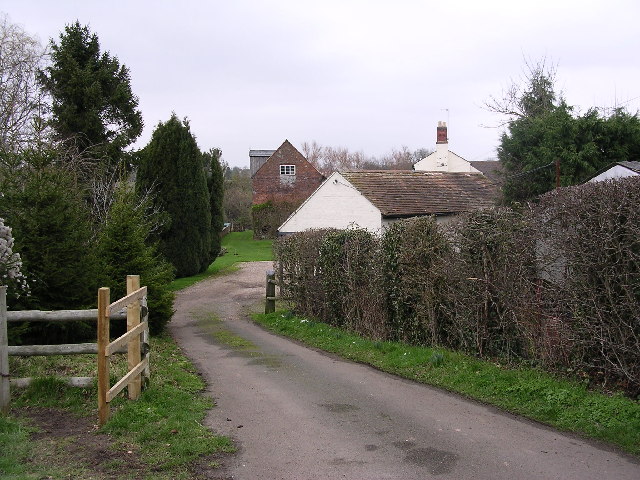
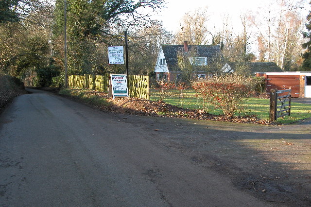
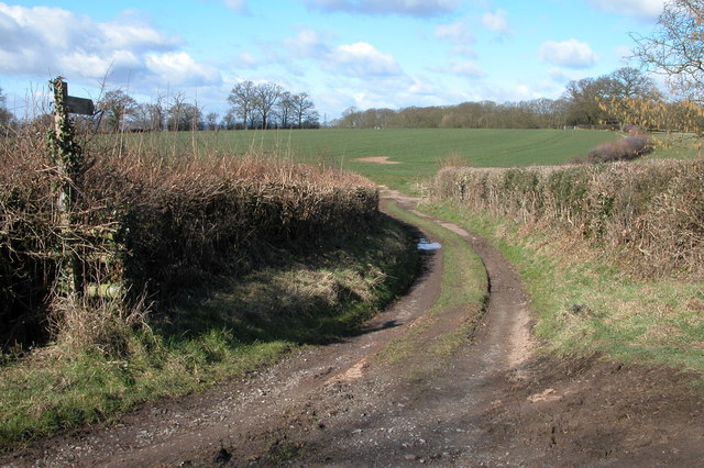
Hawford Wood is a picturesque woodland located in Worcestershire, England. Covering an area of approximately 50 acres, it is nestled within the beautiful countryside and is renowned for its natural beauty and tranquility.
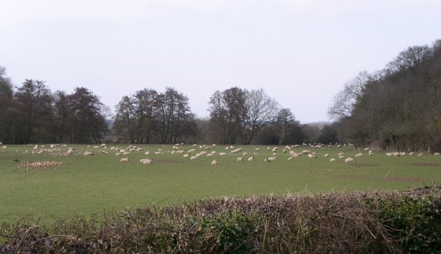
The wood is predominantly made up of a variety of native tree species including oak, ash, birch, and beech, which create a dense and diverse canopy. These trees provide a habitat for a wide range of wildlife, including birds, squirrels, and deer, making it a popular destination for nature enthusiasts and photographers.
Visitors to Hawford Wood can enjoy a network of well-maintained footpaths that wind their way through the woodland, allowing for leisurely walks and exploration. The paths are lined with wildflowers during the spring and summer months, adding a splash of color to the green surroundings.
The wood also features a small pond, which attracts various species of waterfowl and amphibians. This serene spot provides a peaceful setting for picnics or simply enjoying the sounds of nature.
Hawford Wood is managed by the local council, who have implemented conservation measures to protect the natural habitat and wildlife. They also organize educational programs and guided walks to raise awareness about the importance of preserving this woodland gem.
Overall, Hawford Wood offers a tranquil escape from the hustle and bustle of everyday life, providing visitors with an opportunity to connect with nature and enjoy the beauty of Worcestershire's countryside.
If you have any feedback on the listing, please let us know in the comments section below.
Hawford Wood Images
Images are sourced within 2km of 52.247064/-2.2297939 or Grid Reference SO8461. Thanks to Geograph Open Source API. All images are credited.


Hawford Wood is located at Grid Ref: SO8461 (Lat: 52.247064, Lng: -2.2297939)
Administrative County: Worcestershire
District: Wychavon
Police Authority: West Mercia
What 3 Words
///eggs.noses.letter. Near Fernhill Heath, Worcestershire
Nearby Locations
Related Wikis
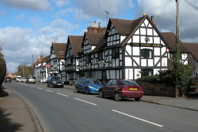
Hawford
Hawford is a hamlet in Worcestershire, England. It falls within two parishes; North Claines and Ombersley and Doverdale in the outer suburbs of Worcester...

A449 road
The A449 is a major road in the United Kingdom. It runs north from junction 24 of the A48 road at Newport in South Wales to Stafford in Staffordshire....

Grimley, Worcestershire
Grimley is a village and civil parish (grid reference SO8360) in the Malvern Hills District in the county of Worcestershire, England about 3 miles (4...

River Salwarpe
The River Salwarpe is a 20.4 miles (32.8 km) long river in Worcestershire, England. It is a left bank tributary of the River Severn, which it joins near...
North Claines
North Claines is a civil parish in Wychavon district, Worcestershire, England, immediately north of the city of Worcester. It includes the settlements...

Holt, Worcestershire
Holt is a village and civil parish in the Malvern Hills District of the county of Worcestershire, England. The church is dedicated to St. Martin, and dates...
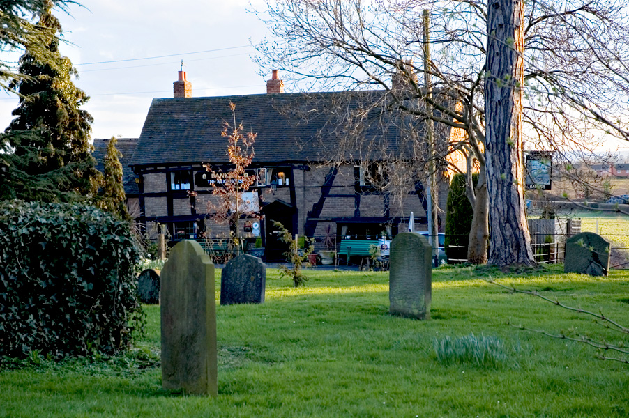
The Mug House
The Mug House is a traditional public house located in the village of Claines, Worcestershire, England, which dates back to the 15th century. == Overview... ==
Ombersley
Ombersley is a village and civil parish in Wychavon district, in the county of Worcestershire, England. The parish includes the hamlet of Holt Fleet,...
Nearby Amenities
Located within 500m of 52.247064,-2.2297939Have you been to Hawford Wood?
Leave your review of Hawford Wood below (or comments, questions and feedback).