Copy Clough Plantation

Wood, Forest in Lancashire Burnley

England

Copy Clough Plantation

Old Wayside Cross in Habergham Eaves parish The Butter Cross, the base of a wayside cross. South of a public footpath in the middle of a field southwest of houses at the junction of the A646 and the A682 in Habergham Eaves parish. Grade II Listed <span class="nowrap"><a title="https://historicengland.org.uk/listing/the-list/list-entry/1274582" rel="nofollow ugc noopener" href="https://historicengland.org.uk/listing/the-list/list-entry/1274582">Link</a><img style="margin-left:2px;" alt="External link" title="External link - shift click to open in new window" src="https://s1.geograph.org.uk/img/external.png" width="10" height="10"/></span>.

Milestone Society National ID: LABU_HAB
Old Wayside Cross in Habergham Eaves parish Credit: Lee Rob

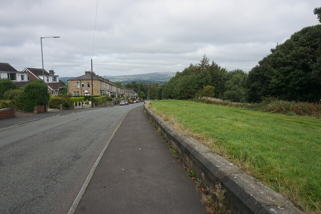
Copy Clough Plantation is a sprawling woodland located in Lancashire, England. Covering an area of approximately 200 acres, it is a magnificent example of a well-preserved forest ecosystem. The plantation is situated near the town of Bacup and is easily accessible to nature enthusiasts and hikers.

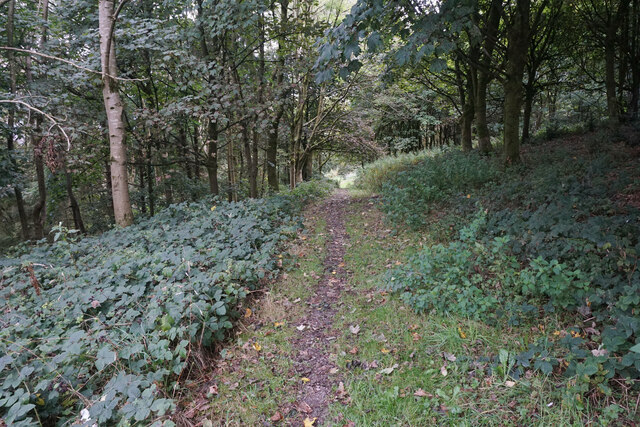
The woodland is predominantly composed of deciduous trees, including oak, birch, beech, and ash. These tall and majestic trees provide a dense canopy that creates a cool and shaded environment, making it a perfect getaway during the hot summer months. The forest floor is covered in a thick layer of moss, ferns, and wildflowers, adding to the enchanting atmosphere.

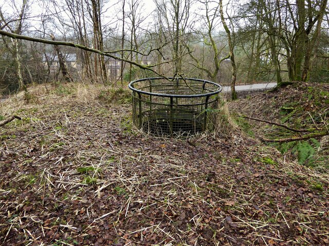
Copy Clough Plantation is home to a diverse range of wildlife. Visitors may catch glimpses of red squirrels, foxes, badgers, and a variety of bird species, including woodpeckers and owls. The abundance of food and shelter provided by the woodland attracts a multitude of creatures, making it an ideal location for nature lovers and photographers.

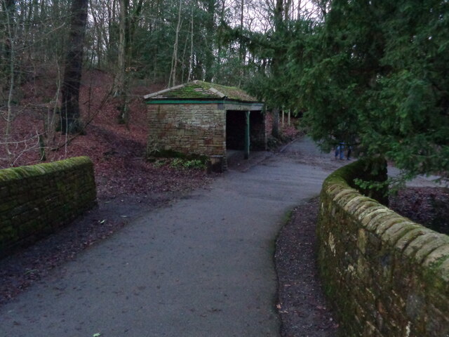
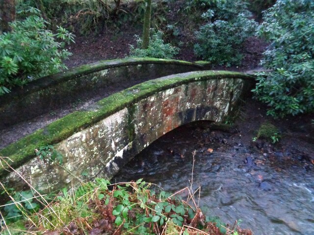
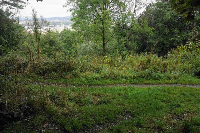
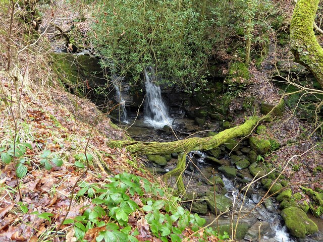
The plantation offers a network of well-maintained trails and footpaths, allowing visitors to explore its beauty at their own pace. Whether you prefer a leisurely stroll or a challenging hike, there are routes to suit all abilities. The paths meander through the woodland, passing scenic viewpoints, babbling brooks, and picturesque meadows.

Copy Clough Plantation provides a peaceful retreat for those seeking solace in nature. Its tranquil atmosphere, breathtaking views, and rich biodiversity make it a must-visit destination for anyone looking to reconnect with the natural world.

If you have any feedback on the listing, please let us know in the comments section below.

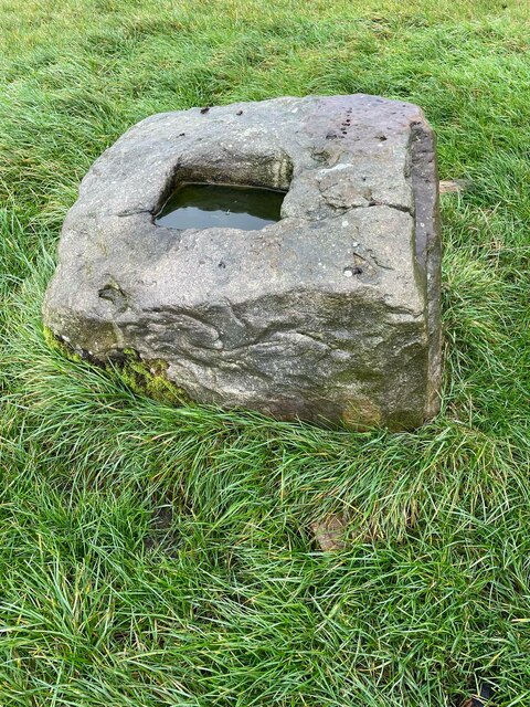
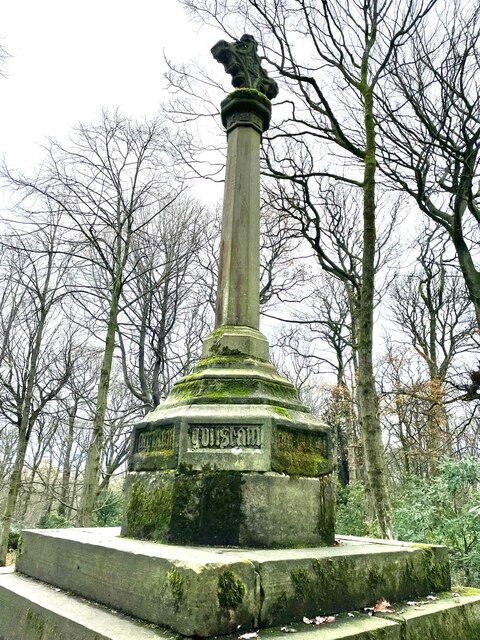
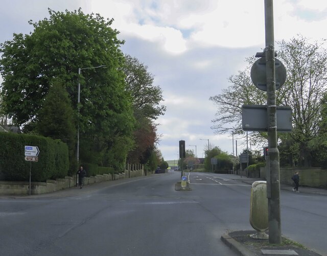
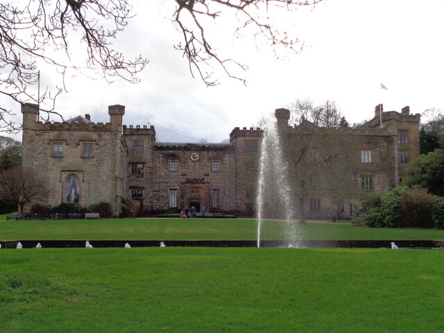
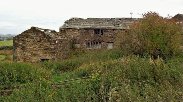
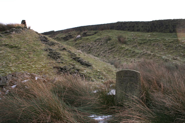
Copy Clough Plantation Images

Images are sourced within 2km of 53.762282/-2.2380844 or Grid Reference SD8429. Thanks to Geograph Open Source API. All images are credited.

Old Wayside Cross in Habergham Eaves parish The Butter Cross, the base of a wayside cross. South of a public footpath in the middle of a field southwest of houses at the junction of the A646 and the A682 in Habergham Eaves parish. Grade II Listed <span class="nowrap"><a title="https://historicengland.org.uk/listing/the-list/list-entry/1274582" rel="nofollow ugc noopener" href="https://historicengland.org.uk/listing/the-list/list-entry/1274582">Link</a><img style="margin-left:2px;" alt="External link" title="External link - shift click to open in new window" src="https://s1.geograph.org.uk/img/external.png" width="10" height="10"/></span>.

Milestone Society National ID: LABU_HAB
Old Wayside Cross in Habergham Eaves parish
The Butter Cross, the base of a wayside cross. South of a public footpath in the middle of a field southwest of houses at the junction of the A646 and the A682 in Habergham Eaves parish. Grade II Listed LinkExternal link. Milestone Society National ID: LABU_HAB
Old Wayside Cross in Tiwneley Park, Burnley Foldys' Cross, an old market cross base in a new cross. Moved to the intersection of footpaths leading towards Todmorden road in Towneley Park, 300 metres southwest of Towneley Hall in Burnley. Grade II Listed <span class="nowrap"><a title="https://historicengland.org.uk/listing/the-list/list-entry/1247301" rel="nofollow ugc noopener" href="https://historicengland.org.uk/listing/the-list/list-entry/1247301">Link</a><img style="margin-left:2px;" alt="External link" title="External link - shift click to open in new window" src="https://s1.geograph.org.uk/img/external.png" width="10" height="10"/></span>. See also <a title="https://www.geograph.org.uk/photo/3569776" href="https://www.geograph.org.uk/photo/3569776">Link</a> and <a title="https://www.geograph.org.uk/photo/1133733" href="https://www.geograph.org.uk/photo/1133733">Link</a>.

Milestone Society National ID: LABU_BUR03
Old Wayside Cross in Tiwneley Park, Burnley
Foldys' Cross, an old market cross base in a new cross. Moved to the intersection of footpaths leading towards Todmorden road in Towneley Park, 300 metres southwest of Towneley Hall in Burnley. Grade II Listed LinkExternal link. See also Link and Link. Milestone Society National ID: LABU_BUR03
The junction of Manchester Road and Rossendale Road
Towneley Hall The north east frontage
Towneley Hall
The north east frontage
Park Shelters At Boggart Bridge in Towneley Park Wilderness
Park Shelters
At Boggart Bridge in Towneley Park Wilderness
Ornamental Footbridge In the Wilderness of Towneley Park over Copy Clough
Ornamental Footbridge
In the Wilderness of Towneley Park over Copy Clough
Towneley Railway Tunnel The north portal
Towneley Railway Tunnel
The north portal
Beehive Coke Oven The charging hole decorated for Halloween
Beehive Coke Oven
The charging hole decorated for Halloween
Rosehill Road A residential suburb of Burnley which is significantly higher than the town centre.
Rosehill Road
A residential suburb of Burnley which is significantly higher than the town centre.
Path in Rose Hill The path is on the wooded hillside which separates Rose Hill from the town centre of Burnley.
Path in Rose Hill
The path is on the wooded hillside which separates Rose Hill from the town centre of Burnley.
Junction of paths in Rose Hill There is just a glimpse of Burnley town centre through the trees.
Junction of paths in Rose Hill
There is just a glimpse of Burnley town centre through the trees.
Monk's Well In Thanet Lee Wood on the Towneley Estate. Whilst it contains a stone trough, the construction around it is believed to be a re-created Gothick folly.
Monk's Well
In Thanet Lee Wood on the Towneley Estate. Whilst it contains a stone trough, the construction around it is believed to be a re-created Gothick folly.
Modern railings on Beehive Coke Oven The railings are around the charging hole of a preserved historic beehive coke oven. There are many remains on this hillside of the banks of ovens and tramways that served them, but only one beehive oven appears complete.
Modern railings on Beehive Coke Oven
The railings are around the charging hole of a preserved historic beehive coke oven. There are many remains on this hillside of the banks of ovens and tramways that served them, but only one beehive oven appears complete.
Waterfall on unnamed stream Paths are being renewed in this area which is the northern boundary of the former Towneley Colliery & Brickworks site (now largely replaced by the housing of The Kilns)
Waterfall on unnamed stream
Paths are being renewed in this area which is the northern boundary of the former Towneley Colliery & Brickworks site (now largely replaced by the housing of The Kilns)
Site of a former public house A modern pub apparently shut in about 2008 as the Coaching House and with plans to be a care home.
Site of a former public house
A modern pub apparently shut in about 2008 as the Coaching House and with plans to be a care home.
The Singing Ringing Tree One of East Lancashire's Panopticons
The Singing Ringing Tree
One of East Lancashire's Panopticons
The Singing Ringing Tree One of East Lancashire's Panopticons, but I do not think the view is better from on top of the structure
The Singing Ringing Tree
One of East Lancashire's Panopticons, but I do not think the view is better from on top of the structure
Listed Farmhouse at Dyneley Farm An historic building
Listed Farmhouse at Dyneley Farm
An historic building
Show me another place!

Copy Clough Plantation is located at Grid Ref: SD8429 (Lat: 53.762282, Lng: -2.2380844)

Administrative County: Lancashire

District: Burnley

Police Authority: Lancashire

What 3 Words

///clean.design.grid. Near Hameldon Hill, Lancashire

Related Wikis

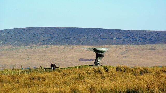
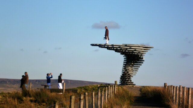
Singing Ringing Tree (sculpture)

The Singing Ringing Tree is a wind powered sound sculpture resembling a tree set in the landscape of the Pennine hill range overlooking Burnley, in Lancashire...

Habergham Eaves

Habergham Eaves is a civil parish in the borough of Burnley, in Lancashire, England. The parish consists of a rural area south of Burnley, and suburban...

Towneley Colliery

Towneley Colliery or Towneley Desmesne was a coal mine on the Burnley Coalfield in Burnley, Lancashire, England. Sunk in the late 1860s, it was linked...

Towneley Park

Towneley Park is owned and managed by Burnley Borough Council and is the largest and most popular park in Burnley, Lancashire, England. The main entrance...

Towneley railway station

Towneley railway station was a station in Lancashire which served Burnley Wood and the nearby Towneley Hall on the eastern edge of Burnley. Opened on 12...

Cliviger

Cliviger is a civil parish in the Borough of Burnley, in Lancashire, England. It is situated to the southeast of Burnley, and northwest of Todmorden....

Burnley Wood

Burnley Wood is a district and former electoral ward of Burnley, Lancashire. In broad terms the area lies between Parliament Street in the north and Hufling...

Gambleside

Gambleside is an abandoned village located in northern Rossendale close to the boundary with Burnley's Dunnockshaw parish. In the late Middle Ages Gambleside...

Related Videos

23 October 2023

A671 passing vehicle with woman on horseback.

A Snowy Hike over Cliviger Gorge, Thieveley Pike & Frozen Waterfalls. Todmorden / Burnley

Cliviger Gorge is a high steep sided valley which was formed in the last Ice Age, and is on the boundary of Todmorden and ...

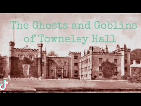
The Ghost Stories of Towneley Hall. Towneley Park. Burnley

Towneley Hall is one of the jewels in Burnley and dates back many Centuries. The building itself standing in its present location ...

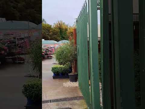
Time out for coffee & cake at Towneley Garden Centre

Monday afternoon meeting a friend for coffee, cake and a mooch at the garden centre #gardencenter #fika #wellbeing #catchup ...

Nearby Amenities

Located within 500m of 53.762282,-2.2380844
Barrier: swing_gate
Lat/Long: 53.7591452/-2.2403876
Barrier: stile
Lat/Long: 53.7603372/-2.243006
Barrier: cycle_barrier
Lat/Long: 53.7592488/-2.2402268
Barrier: stile
Lat/Long: 53.7643274/-2.2444086
Barrier: stile
Bicycle: no
Foot: yes
Horse: no
Motor Vehicle: no
Lat/Long: 53.7639163/-2.2443659
Barrier: stile
Bicycle: no
Foot: yes
Horse: no
Motor Vehicle: no
Lat/Long: 53.7604106/-2.2428361
Barrier: swing_gate
Lat/Long: 53.763813/-2.2446215
Barrier: kissing_gate
Bicycle: no
Foot: yes
Horse: no
Motor Vehicle: no
Lat/Long: 53.7615624/-2.2448379
Barrier: cattle_grid
Lat/Long: 53.7640584/-2.2448081
Bench
Lat/Long: 53.7636544/-2.2443359
Barrier: swing_gate
Lat/Long: 53.7637828/-2.2445845
The data included in this document is from www.openstreetmap.org. The data is made available under ODbL.

Have you been to Copy Clough Plantation?

Leave your review of Copy Clough Plantation below (or comments, questions and feedback).