Freehold Wood

Wood, Forest in Staffordshire South Staffordshire

England

Freehold Wood

Field Path The Staffordshire Way and the Monarch's Way from the Pattingham Road crosses a field near Perton.
Field Path Credit: Gordon Griffiths

Freehold Wood is a picturesque woodland situated in Staffordshire, England. Covering an area of approximately 50 acres, it is a designated forest and a popular destination for nature enthusiasts and hikers. The wood is located near the village of Freehold and is easily accessible by car or public transportation.

The woodland is characterized by its diverse range of tree species, including oak, beech, birch, and pine. These trees create a rich and vibrant canopy, providing shade and shelter for a variety of wildlife. Visitors can expect to see an array of bird species, such as woodpeckers, owls, and thrushes, as well as small mammals like squirrels and rabbits.

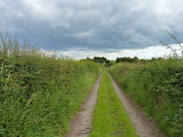
Freehold Wood offers several walking trails, allowing visitors to explore its beauty at their own pace. These trails wind through the forest, offering stunning views of the surrounding countryside. There are also designated picnic areas and benches, providing the perfect spot for a leisurely lunch or a moment of relaxation amidst nature.

The wood is carefully maintained by local authorities, ensuring the preservation of its natural beauty. Additionally, there are information boards placed strategically throughout the woodland, offering educational insights into the local flora and fauna.

Overall, Freehold Wood is a tranquil and serene location, offering a peaceful retreat from the hustle and bustle of everyday life. With its beautiful trees, diverse wildlife, and well-maintained trails, it is a must-visit destination for nature lovers and outdoor enthusiasts in Staffordshire.

If you have any feedback on the listing, please let us know in the comments section below.

Freehold Wood Images

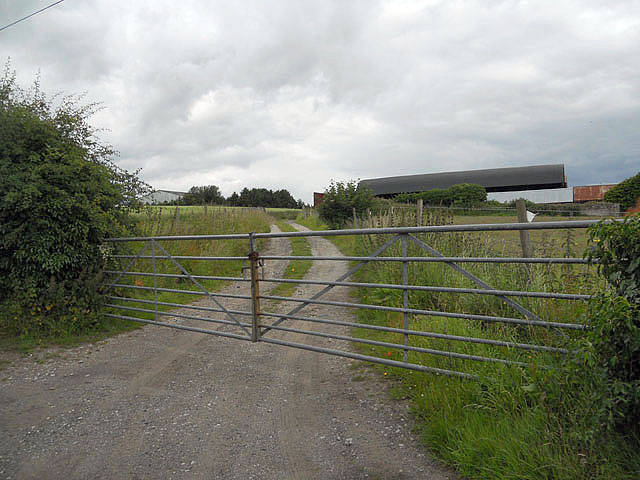
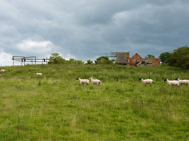
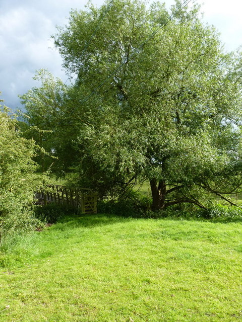
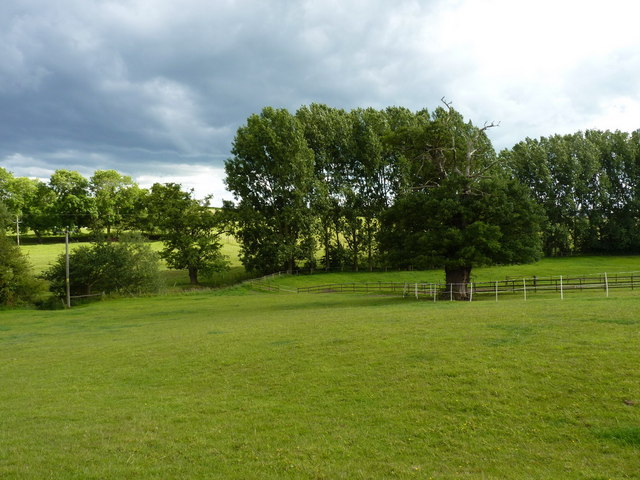
Images are sourced within 2km of 52.582781/-2.2341302 or Grid Reference SO8498. Thanks to Geograph Open Source API. All images are credited.

Field Path The Staffordshire Way and the Monarch's Way from the Pattingham Road crosses a field near Perton.
Field Path
The Staffordshire Way and the Monarch's Way from the Pattingham Road crosses a field near Perton.
Cranmoor Wood The view from the Staffordshire Way and the Monarch's Way footpaths near Perton.
Cranmoor Wood
The view from the Staffordshire Way and the Monarch's Way footpaths near Perton.
Crop Field View The view from Hollies Lane near Pattingham, Staffordshire.
Crop Field View
The view from Hollies Lane near Pattingham, Staffordshire.
Gated farm access at Trescott
Poppies and a stile at Trescott Grange
The Smestow Brook at Trescott Grange Just downstream of the ford
The Smestow Brook at Trescott Grange
Just downstream of the ford
Dilapidated buildings at Trescott Grange The sheep were on a mission to avoid me, despite the absence of the dog on this walk.
Dilapidated buildings at Trescott Grange
The sheep were on a mission to avoid me, despite the absence of the dog on this walk.
Footbridge over the Smestow Brook
Farmland in the Smestow valley
Along the Staffordshire Way near Trescott Looking south on the track/footpath that runs between Trescott and Great Moor
Along the Staffordshire Way near Trescott
Looking south on the track/footpath that runs between Trescott and Great Moor
Just about visible A footpath runs along the hedgeline - although the wheat is planted right up hard against the hedge. Passable with care.
Just about visible
A footpath runs along the hedgeline - although the wheat is planted right up hard against the hedge. Passable with care.
No footpath to be seen The map marks a path across here, but there's absolutely no sign on the ground at all. So I just waded in, heading for the gap in the hedge left of centre about 100 yards away...
No footpath to be seen
The map marks a path across here, but there's absolutely no sign on the ground at all. So I just waded in, heading for the gap in the hedge left of centre about 100 yards away...
Back on a marked path After the problems finding a route across the wheatfield on the right (<a href="https://www.geograph.org.uk/photo/2482656">SO8497 : No footpath to be seen</a>), a well-defined track & bridleway is quite a relief.
Back on a marked path
After the problems finding a route across the wheatfield on the right (SO8497 : No footpath to be seen), a well-defined track & bridleway is quite a relief.
Wheat stubble and straw in fields south of Pattingham
Farmland off Moor Lane, Great Moor Cropped fields on the eastern side of Pattingham
Farmland off Moor Lane, Great Moor
Cropped fields on the eastern side of Pattingham
Bennetts Lane, Great Moor A 'shared use' road - sometimes a track, sometimes a streambed.
Bennetts Lane, Great Moor
A 'shared use' road - sometimes a track, sometimes a streambed.
The bridleway leaving Bennetts Lane A bridleway heading westwards to The Clive.
The bridleway leaving Bennetts Lane
A bridleway heading westwards to The Clive.
Bridleway below Little Moor A bridleway across fields below Little Moor farm.
Bridleway below Little Moor
A bridleway across fields below Little Moor farm.
Show me another place!

Freehold Wood is located at Grid Ref: SO8498 (Lat: 52.582781, Lng: -2.2341302)

Administrative County: Staffordshire

District: South Staffordshire

Police Authority: Staffordshire

What 3 Words

///barks.bids.juices. Near Pattingham, Staffordshire

Related Wikis

Nurton

Nurton is a hamlet in the South Staffordshire District, in the English county of Staffordshire. Nearby settlements include the city of Wolverhampton and...

Pattingham

Pattingham is a village and former civil parish, now in the parish of Pattingham and Patshull, in the South Staffordshire district, in the county of Staffordshire...

Perton

Perton is a large estate and civil parish located in the South Staffordshire District, Staffordshire, England. It lies 3 miles to the south of Codsall...

Wightwick

Wightwick ( WIT-ik) is a part of Tettenhall Wightwick ward in Wolverhampton, West Midlands, England. It is named after an ancient local family the "de...

Nearby Amenities

Located within 500m of 52.582781,-2.2341302
Power: tower
Source: bing
Lat/Long: 52.5803437/-2.2372181
Power: tower
Source: bing
Lat/Long: 52.5839705/-2.2399852
Power: pole
Lat/Long: 52.5805602/-2.2282606
Power: pole
Lat/Long: 52.5806841/-2.2296553
Power: pole
Lat/Long: 52.5808079/-2.2311466
Power: pole
Lat/Long: 52.5809253/-2.2326004
Power: pole
Lat/Long: 52.5810328/-2.2339254
Power: pole
Lat/Long: 52.5814436/-2.2354489
Power: pole
Lat/Long: 52.581864/-2.2369134
Power: pole
Lat/Long: 52.582115/-2.2377502
Power: pole
Lat/Long: 52.5821541/-2.2390645
Power: pole
Lat/Long: 52.5821761/-2.2408375
The data included in this document is from www.openstreetmap.org. The data is made available under ODbL.

Have you been to Freehold Wood?

Leave your review of Freehold Wood below (or comments, questions and feedback).